Elevation of Fonteine Village Retirement Complex, cnr Klipfontein Drive & Douvygie Street, Malmebury, South Africa
Location: South Africa > Western Cape > West Coast Dc > Malmesbury >
Longitude: 18.7365597
Latitude: -33.447140
Elevation: 196m / 643feet
Barometric Pressure: 99KPa
Elevation Map:
Satellite Map:
Related Photos:
Kloovenburg buite Riebeek Kasteel.
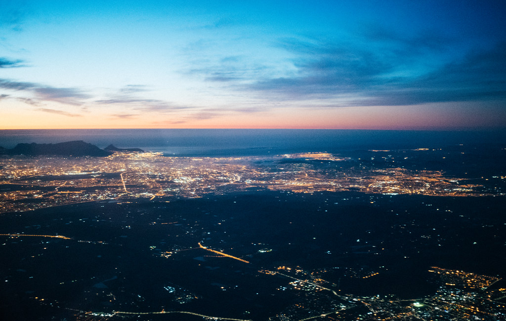
Goodbye Capetown
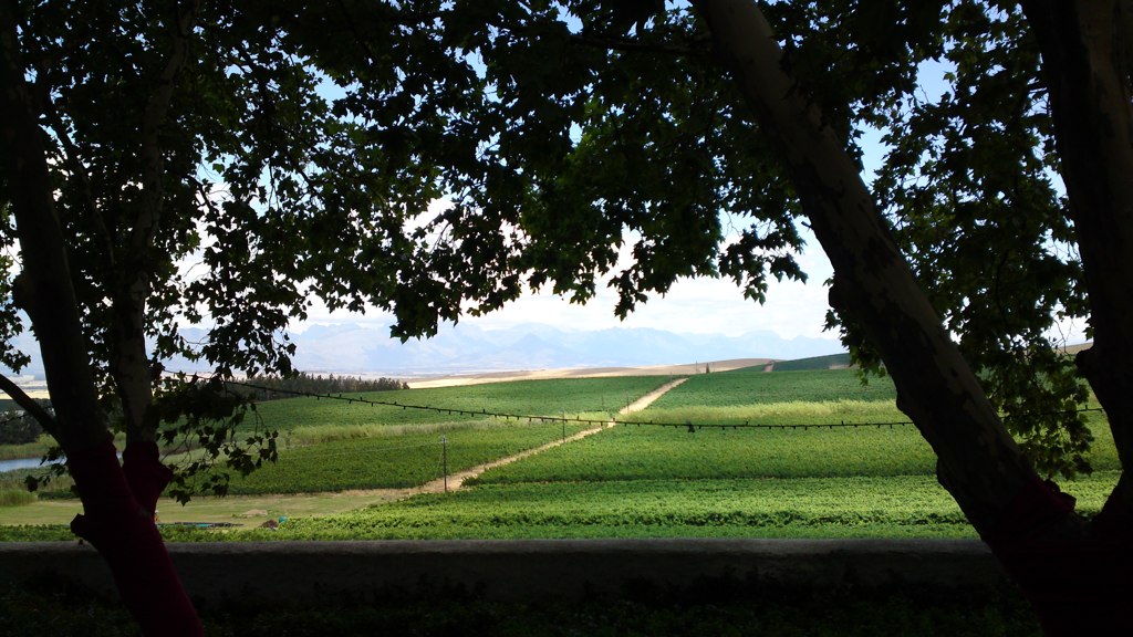
A view from the road between Paarl and Malmesbury in the Western Cape, South Africa.

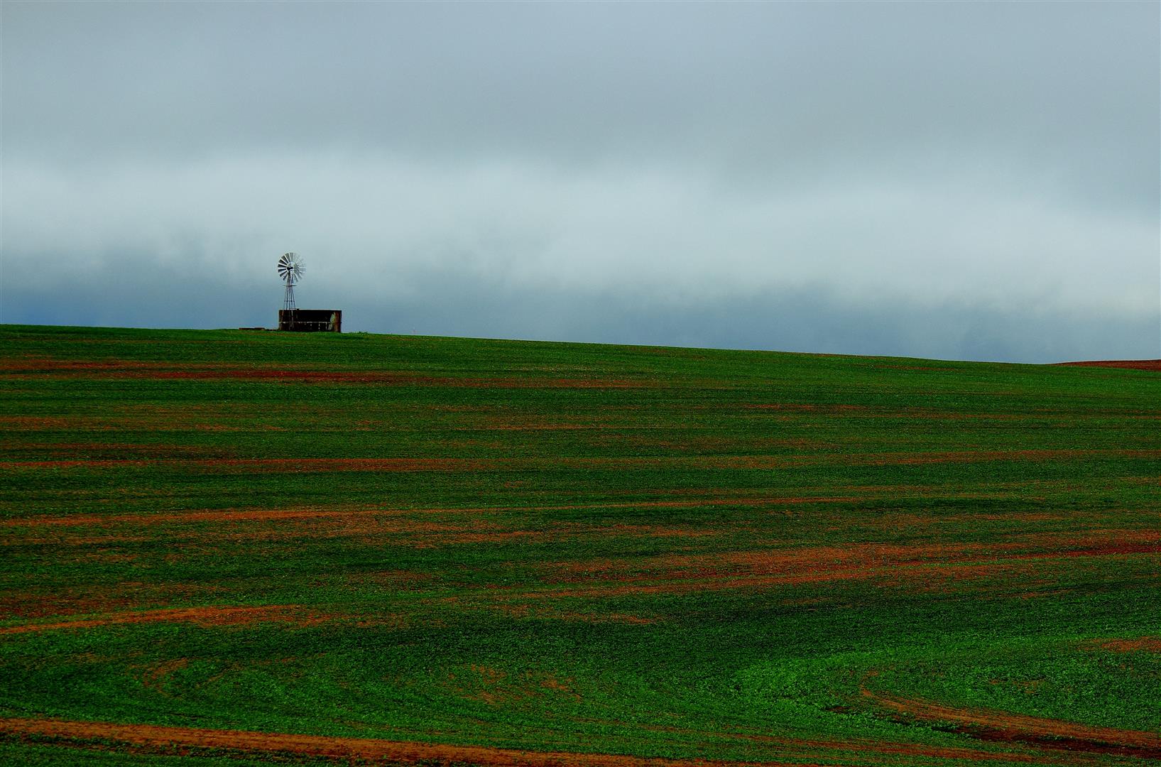
Vineyard outside Darling
Change a Life Cycle Tour 2014

near Malmesbury, Western Cape South Africa

Change a Life Cycle Tour 2014

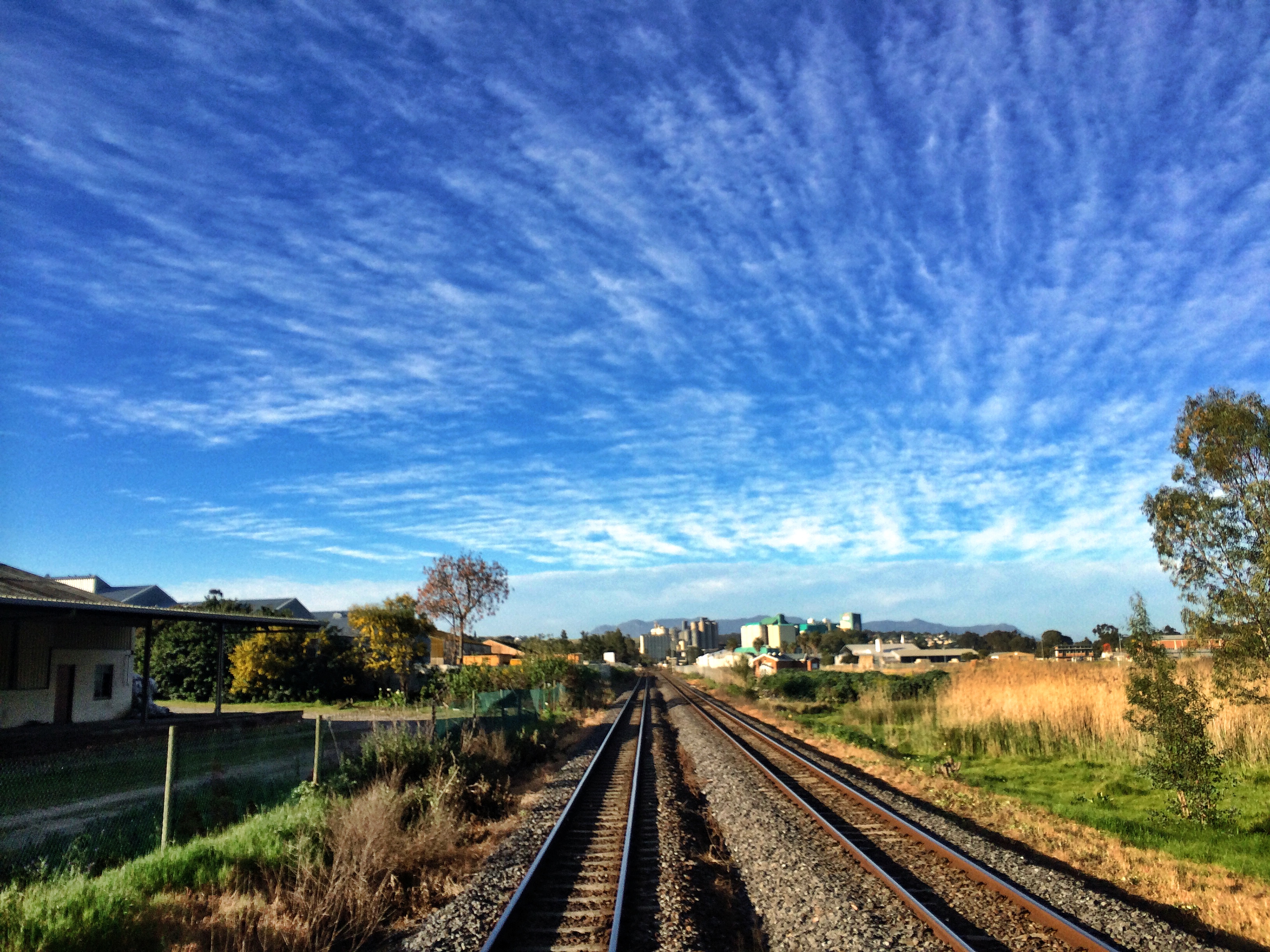
Old Malmesbury Road

Near Malmesbury

Table Mountain, Cape Town from from about 25km, near Malmesbury
Topographic Map of Fonteine Village Retirement Complex, cnr Klipfontein Drive & Douvygie Street, Malmebury, South Africa
Find elevation by address:

Places near Fonteine Village Retirement Complex, cnr Klipfontein Drive & Douvygie Street, Malmebury, South Africa:
Malmesbury Golf Club
Mount Royal Golf & Country Estate
Malmesbury
Marksman's Nest Firearms Training Centre & Shooting Range
Malmesbury
Fynbos Estate
Kalbaskraal
Groenrivier Function Centre
1783 Merindal St
Langgewens Research Farm
Groenerivier Estate
Dassenberg Drive
Januarieskraal
Moorreesburg
Cape Farms
Moolman
Paarl
Piet My Vrou Road
Van Riebeeckstrand
Melkbosstrand
Recent Searches:
- Elevation of Corso Fratelli Cairoli, 35, Macerata MC, Italy
- Elevation of Tallevast Rd, Sarasota, FL, USA
- Elevation of 4th St E, Sonoma, CA, USA
- Elevation of Black Hollow Rd, Pennsdale, PA, USA
- Elevation of Oakland Ave, Williamsport, PA, USA
- Elevation of Pedrógão Grande, Portugal
- Elevation of Klee Dr, Martinsburg, WV, USA
- Elevation of Via Roma, Pieranica CR, Italy
- Elevation of Tavkvetili Mountain, Georgia
- Elevation of Hartfords Bluff Cir, Mt Pleasant, SC, USA