Elevation of Groenerivier Estate, Klein Dassenberg Rd, South Africa
Location: South Africa > Western Cape > West Coast Dc > Malmesbury >
Longitude: 18.6019081
Latitude: -33.581357
Elevation: -10000m / -32808feet
Barometric Pressure: 295KPa
Elevation Map:
Satellite Map:
Related Photos:

Room With a View

Change a Life Cycle Tour 2014

Sunset on the dam
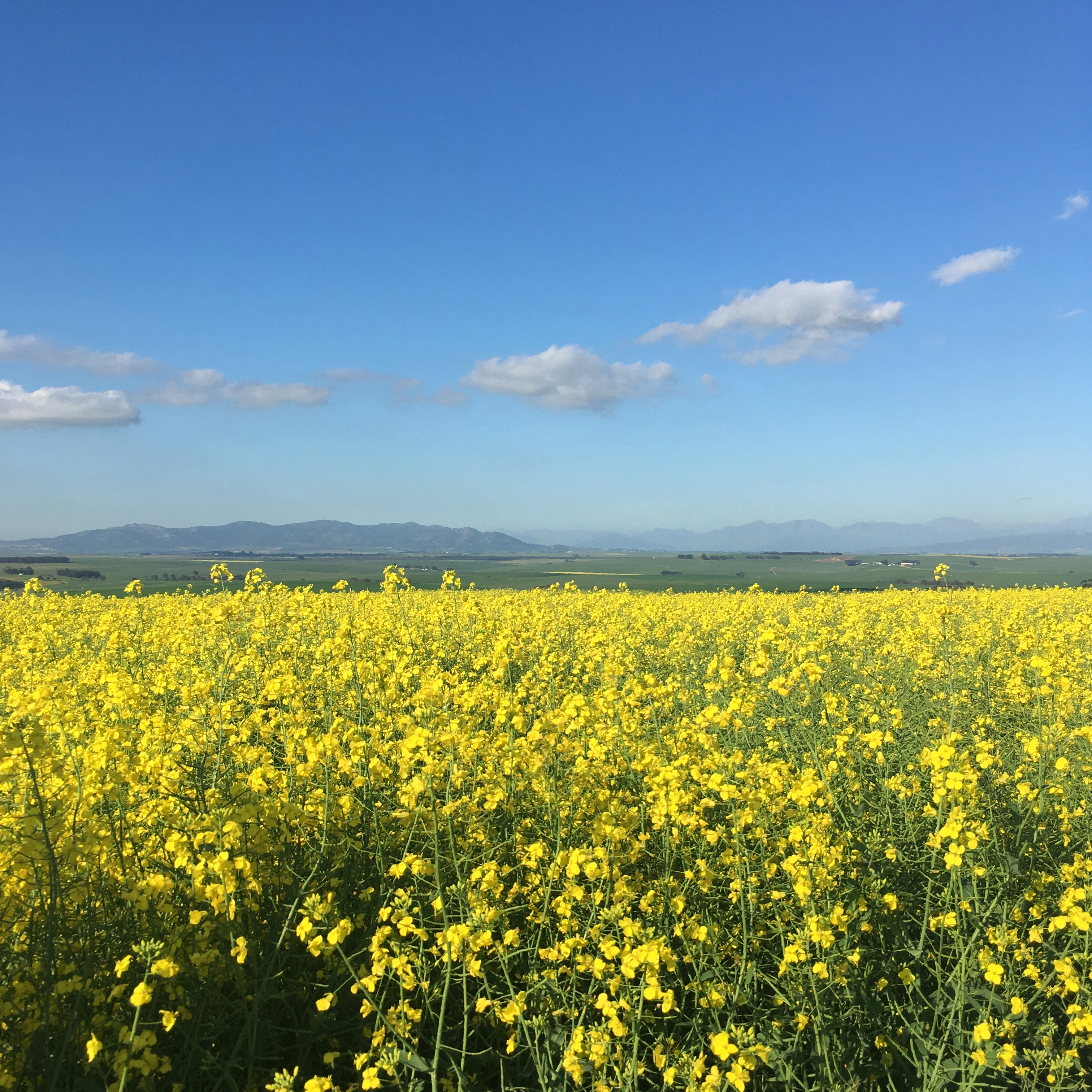
Canola field

Gold field

Canola Drive - Vertorama

Eccentric Female Surreal Alien Fashion

Flying to Cape Town

Amarider 100 Miler Route Scout
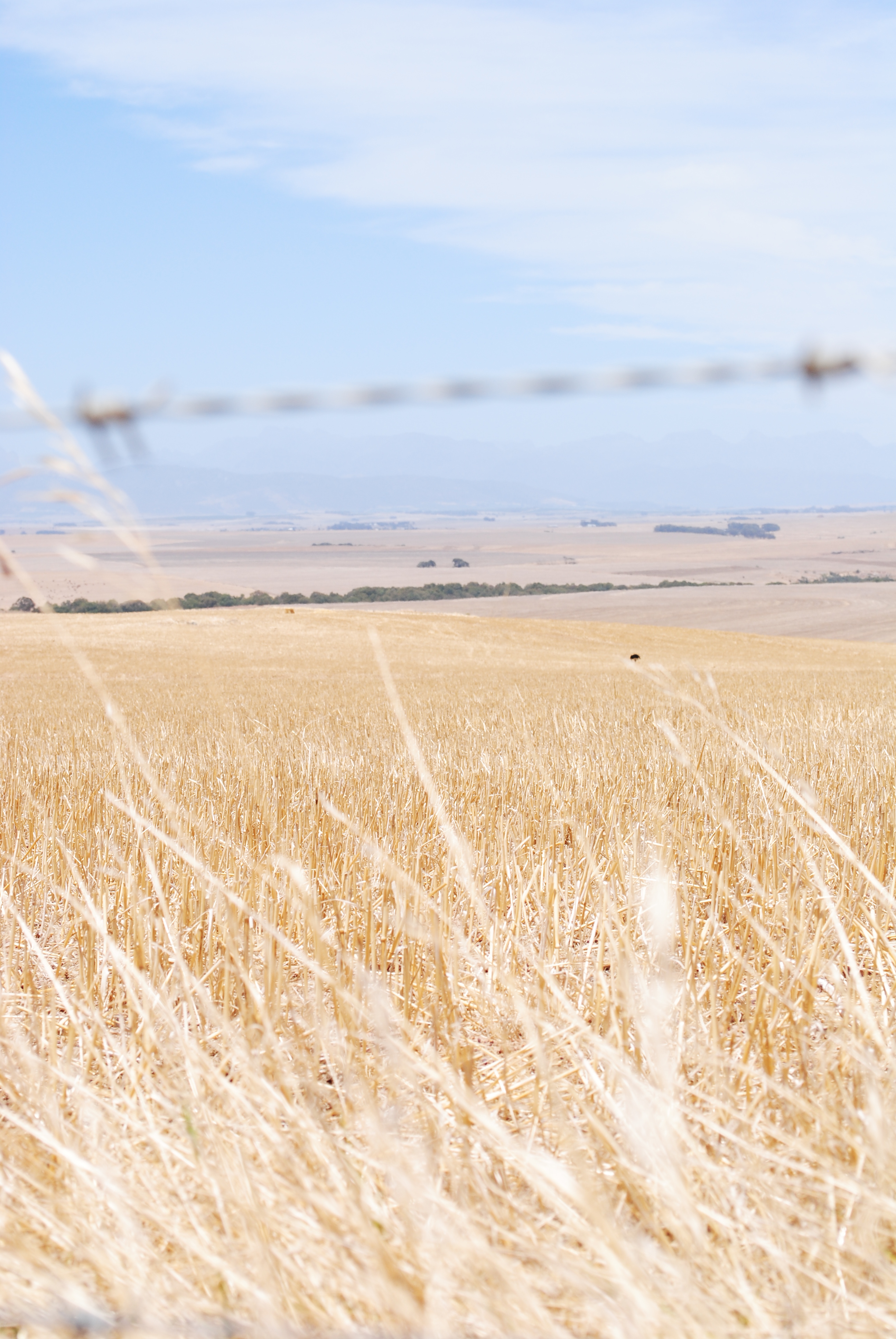
grain across the fence

Protei in Cape Town, South Africa
Topographic Map of Groenerivier Estate, Klein Dassenberg Rd, South Africa
Find elevation by address:

Places near Groenerivier Estate, Klein Dassenberg Rd, South Africa:
Kalbaskraal
Marksman's Nest Firearms Training Centre & Shooting Range
Dassenberg Drive
Cape Farms
Malmesbury
Mount Royal Golf & Country Estate
Malmesbury Golf Club
Fynbos Estate
Fonteine Village Retirement Complex
Piet My Vrou Road
Van Riebeeckstrand
Melkbosstrand
Manatoka Heights
Januarieskraal
Malmesbury
Langgewens Research Farm
Groenrivier Function Centre
1783 Merindal St
Paarl
Moolman
Recent Searches:
- Elevation of Corso Fratelli Cairoli, 35, Macerata MC, Italy
- Elevation of Tallevast Rd, Sarasota, FL, USA
- Elevation of 4th St E, Sonoma, CA, USA
- Elevation of Black Hollow Rd, Pennsdale, PA, USA
- Elevation of Oakland Ave, Williamsport, PA, USA
- Elevation of Pedrógão Grande, Portugal
- Elevation of Klee Dr, Martinsburg, WV, USA
- Elevation of Via Roma, Pieranica CR, Italy
- Elevation of Tavkvetili Mountain, Georgia
- Elevation of Hartfords Bluff Cir, Mt Pleasant, SC, USA