Elevation of Trchkan Waterfall, W+GCM, Շիրակ, Armenia
Location: Armenia > Shirak Province >
Longitude: 44.1160339
Latitude: 40.9163446
Elevation: -10000m / -32808feet
Barometric Pressure: 295KPa
Elevation Map:
Satellite Map:
Related Photos:

Арагац

Le couvent de Kobayr domine la gorge Debed dans le nord de l'Arménie

Jrashen, Northern Armenia
Mountains near Spitak

Tsaghkaber 4

3 Ladas in a row here on a stop between Yerevan and Tbilisi

One of very many Lada cars in Armenia
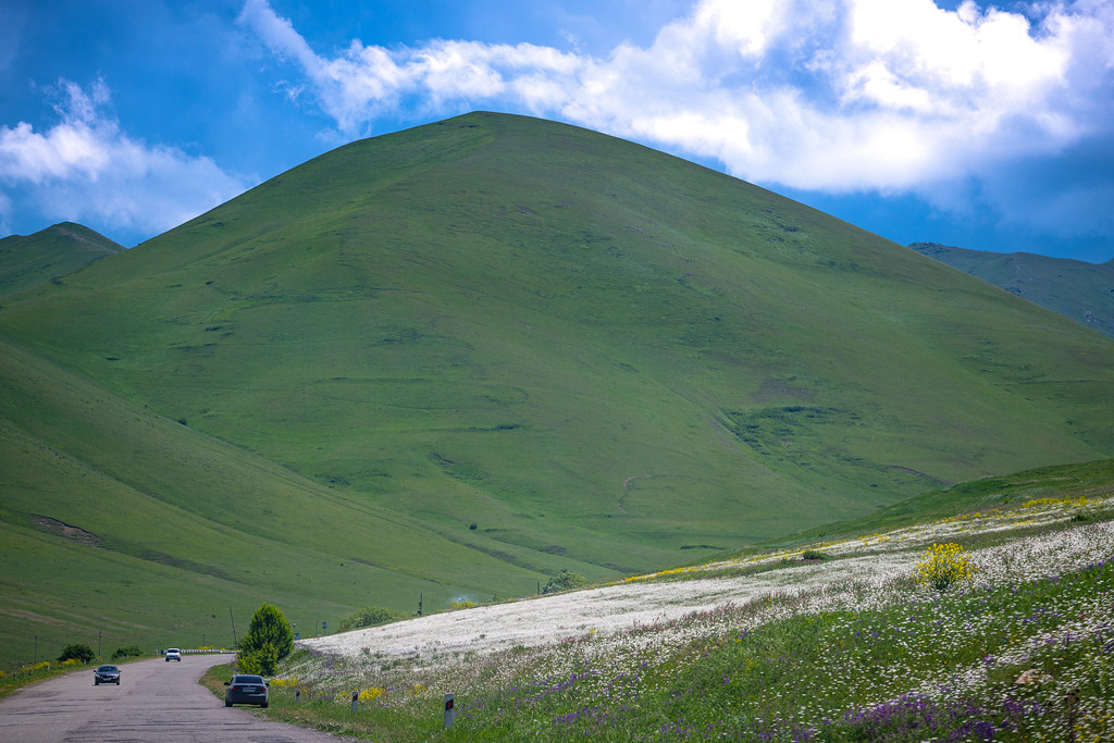
While flowers covers a hill in Lori Region, Armenia

In Armenia...

Պատմական Հետք , Պատմական Թիմ, Պատմական Մարդիկ! Մենք հզոր ենք միասին ❤️

Monument dedicated to the victims of Spitak 1988 earthquake

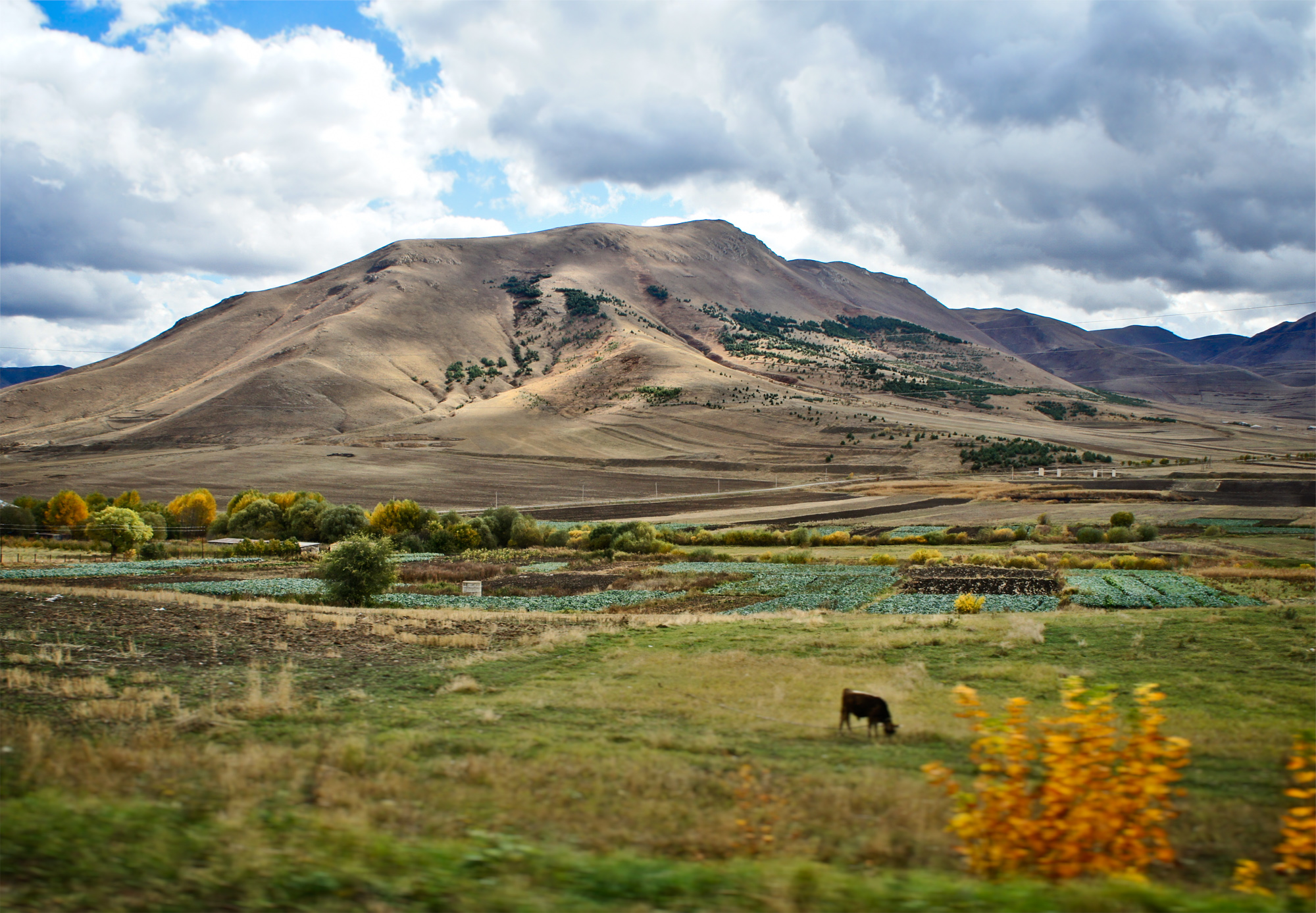
rolling hills against snow capped mountains, Lori Region, Armenia

Church in Lori Region, Armenia
Topographic Map of Trchkan Waterfall, W+GCM, Շիրակ, Armenia
Find elevation by address:

Places near Trchkan Waterfall, W+GCM, Շիրակ, Armenia:
Pokrashen
Tsoghamarg
Karmravan
Ashotsk
Mayisyan
Gyumri
Shirak Province
Petrovka
Amasia
Jradzor
Lernahovit
Bavra
Apaven
Sarchapet
Vanadzor
Zhdanovakani
Vahagni
Dzoraget
Aygehat
Gorelovka
Recent Searches:
- Elevation of Corso Fratelli Cairoli, 35, Macerata MC, Italy
- Elevation of Tallevast Rd, Sarasota, FL, USA
- Elevation of 4th St E, Sonoma, CA, USA
- Elevation of Black Hollow Rd, Pennsdale, PA, USA
- Elevation of Oakland Ave, Williamsport, PA, USA
- Elevation of Pedrógão Grande, Portugal
- Elevation of Klee Dr, Martinsburg, WV, USA
- Elevation of Via Roma, Pieranica CR, Italy
- Elevation of Tavkvetili Mountain, Georgia
- Elevation of Hartfords Bluff Cir, Mt Pleasant, SC, USA