Elevation of Aygehat, Armenia
Location: Armenia >
Longitude: 44.6250906
Latitude: 41.0152835
Elevation: 1165m / 3822feet
Barometric Pressure: 88KPa
Elevation Map:
Satellite Map:
Related Photos:

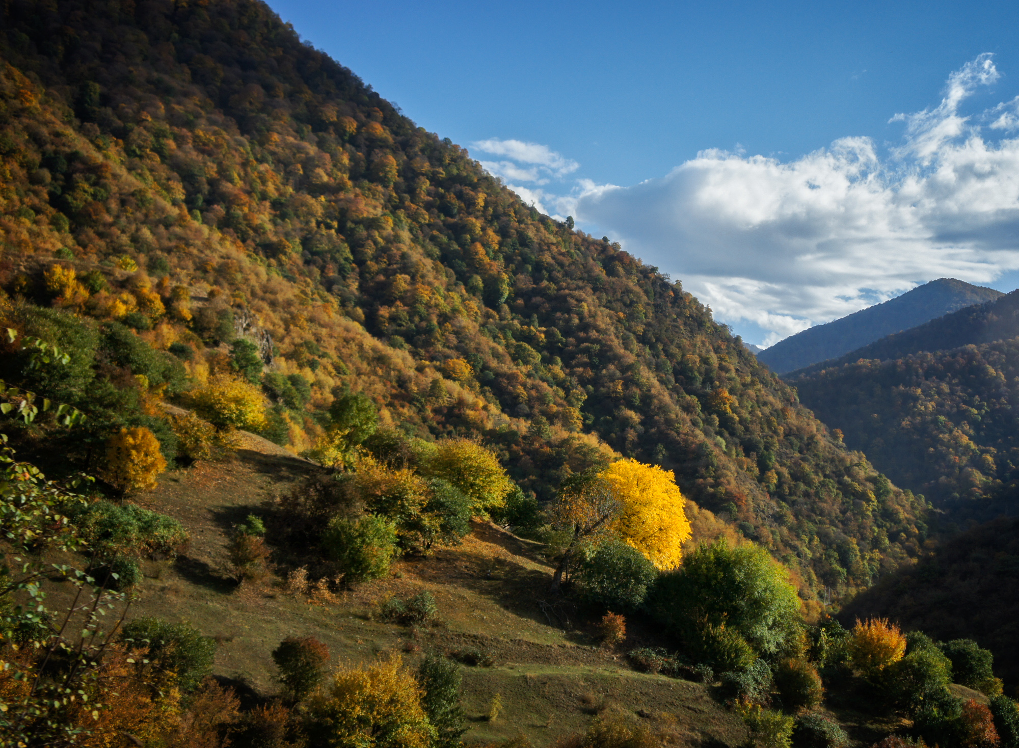
Hills of Lori province
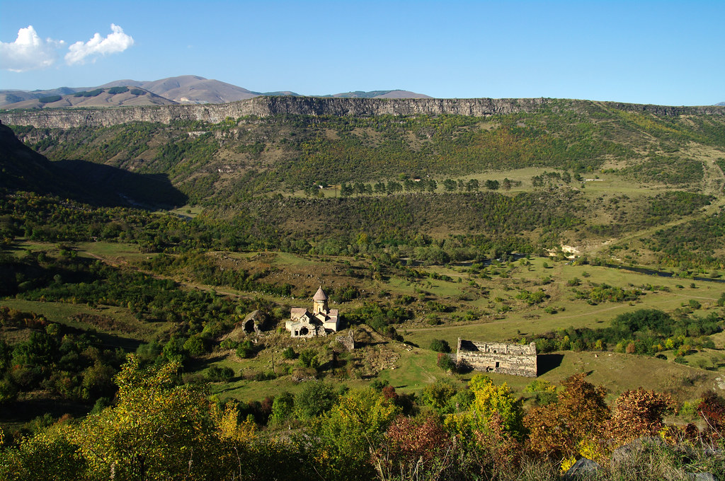
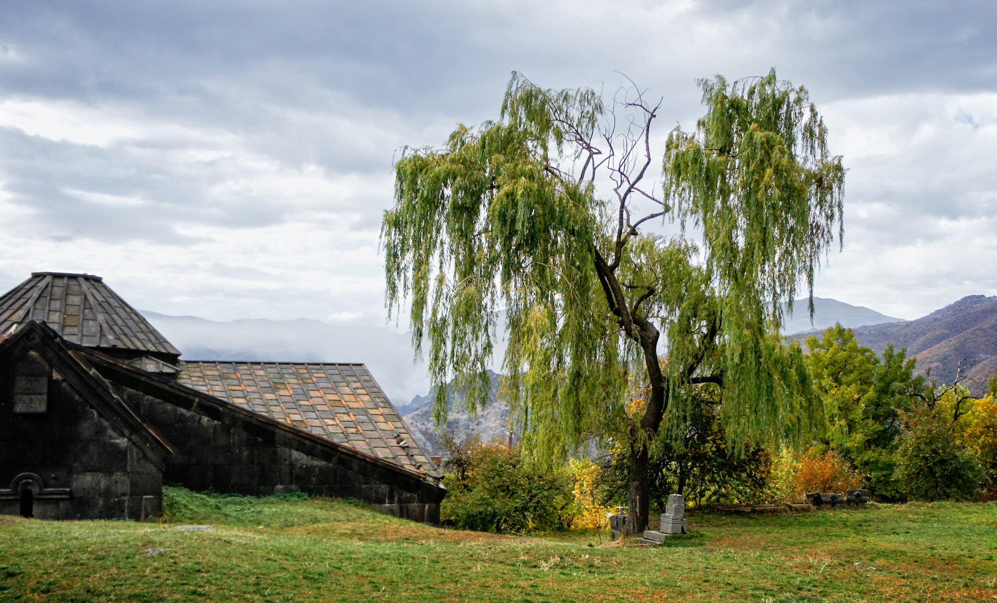
Hnevank monastery
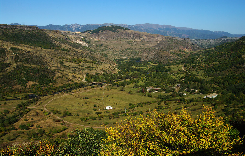
Hills of Lori province
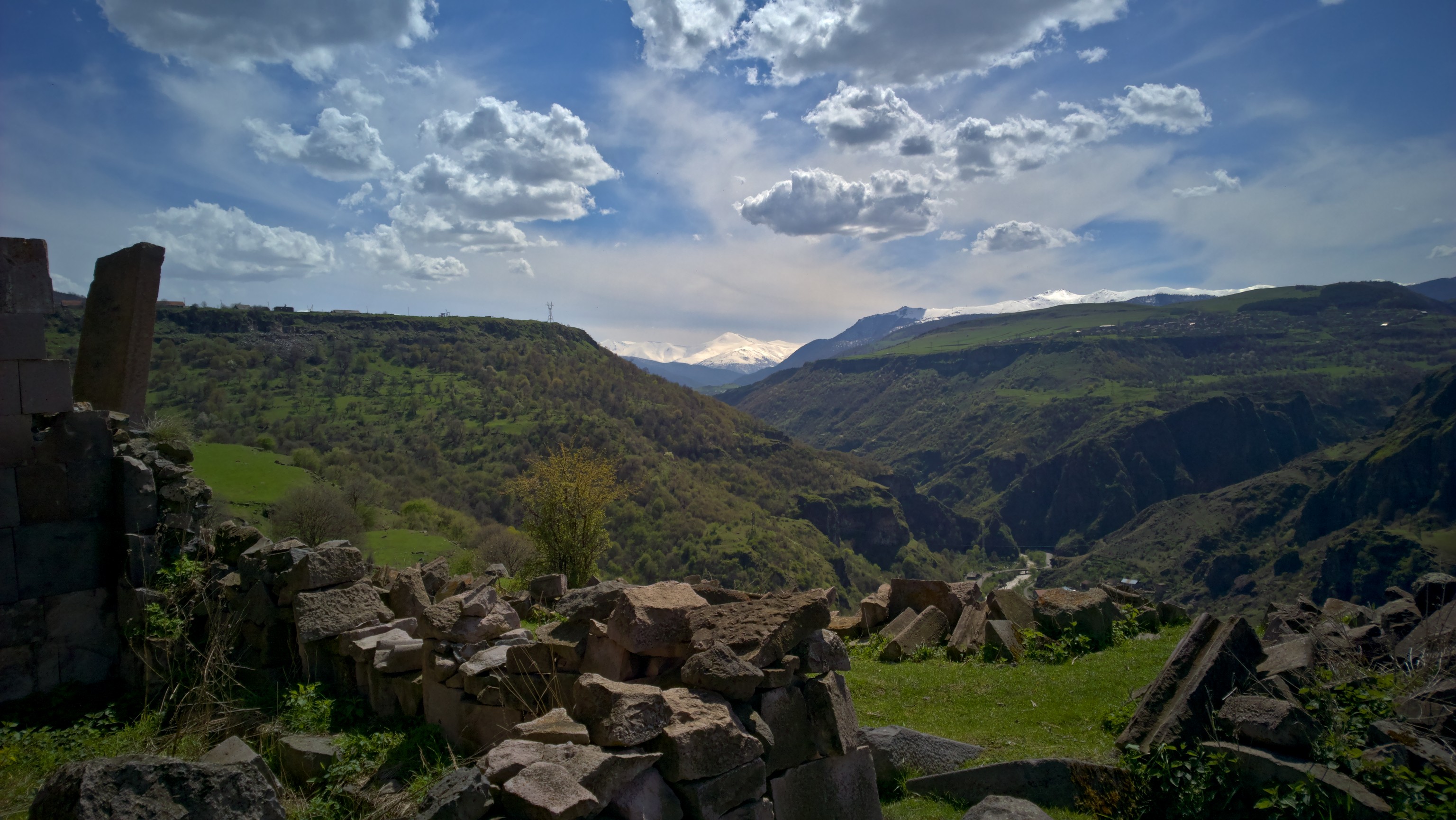
View from the Monastery
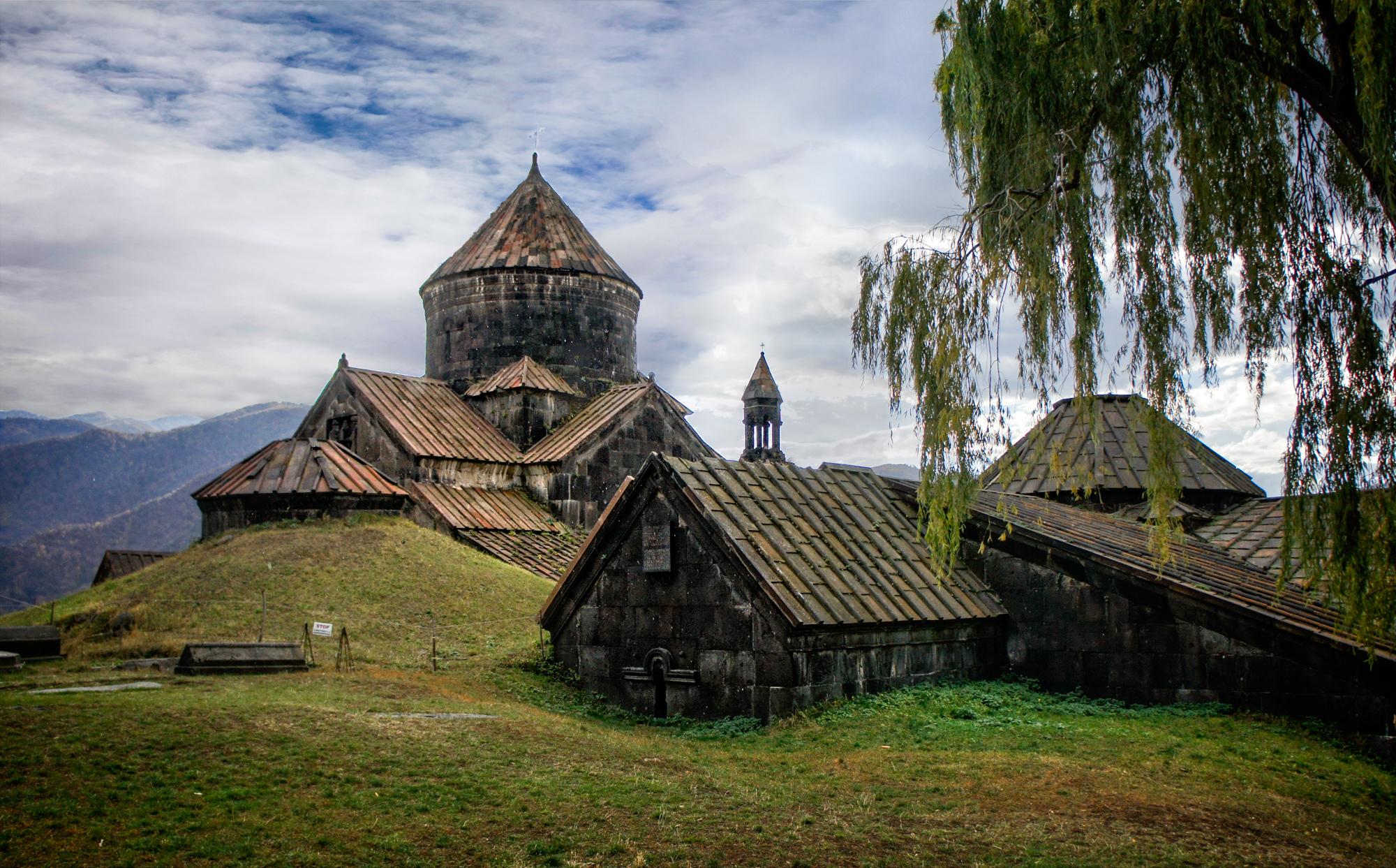
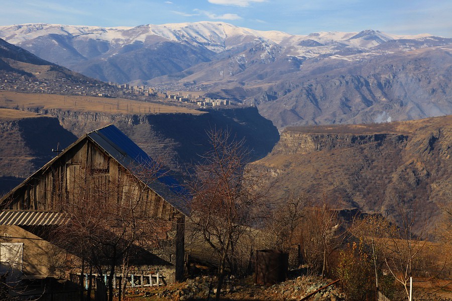
Haghpat monastery from the north-east
Haghpat monastery, view from the east
Sanahin Viewed from Haghpat

Those blue eyes
View from Haghpat monastery

View from Haghpat monastery

View from Haghpart monastry
Topographic Map of Aygehat, Armenia
Find elevation by address:

Places near Aygehat, Armenia:
Dsegh
Dzoraget
Alaverdi
Chkalov
Vahagni
Neghots
Vanadzor
Shnogh
Karkop
Lernahovit
Bagratashen
Sarchapet
Ptghavan
Ayrum
Apaven
Haghtanak
Petrovka
Kazreti
Bolnisi
Patara Beglari
Recent Searches:
- Elevation of Corso Fratelli Cairoli, 35, Macerata MC, Italy
- Elevation of Tallevast Rd, Sarasota, FL, USA
- Elevation of 4th St E, Sonoma, CA, USA
- Elevation of Black Hollow Rd, Pennsdale, PA, USA
- Elevation of Oakland Ave, Williamsport, PA, USA
- Elevation of Pedrógão Grande, Portugal
- Elevation of Klee Dr, Martinsburg, WV, USA
- Elevation of Via Roma, Pieranica CR, Italy
- Elevation of Tavkvetili Mountain, Georgia
- Elevation of Hartfords Bluff Cir, Mt Pleasant, SC, USA