Elevation of Apaven, Armenia
Location: Armenia >
Longitude: 44.3536023
Latitude: 41.2156695
Elevation: -10000m / -32808feet
Barometric Pressure: 295KPa
Elevation Map:
Satellite Map:
Related Photos:

Sleeping place
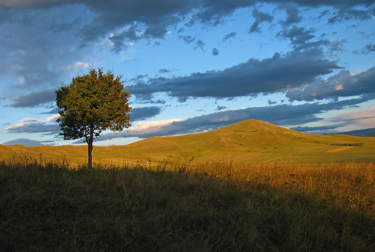
Almost autumn

tashir (4)

tashir (3)
tashir (2)

tashir (5)
Good bye!!!

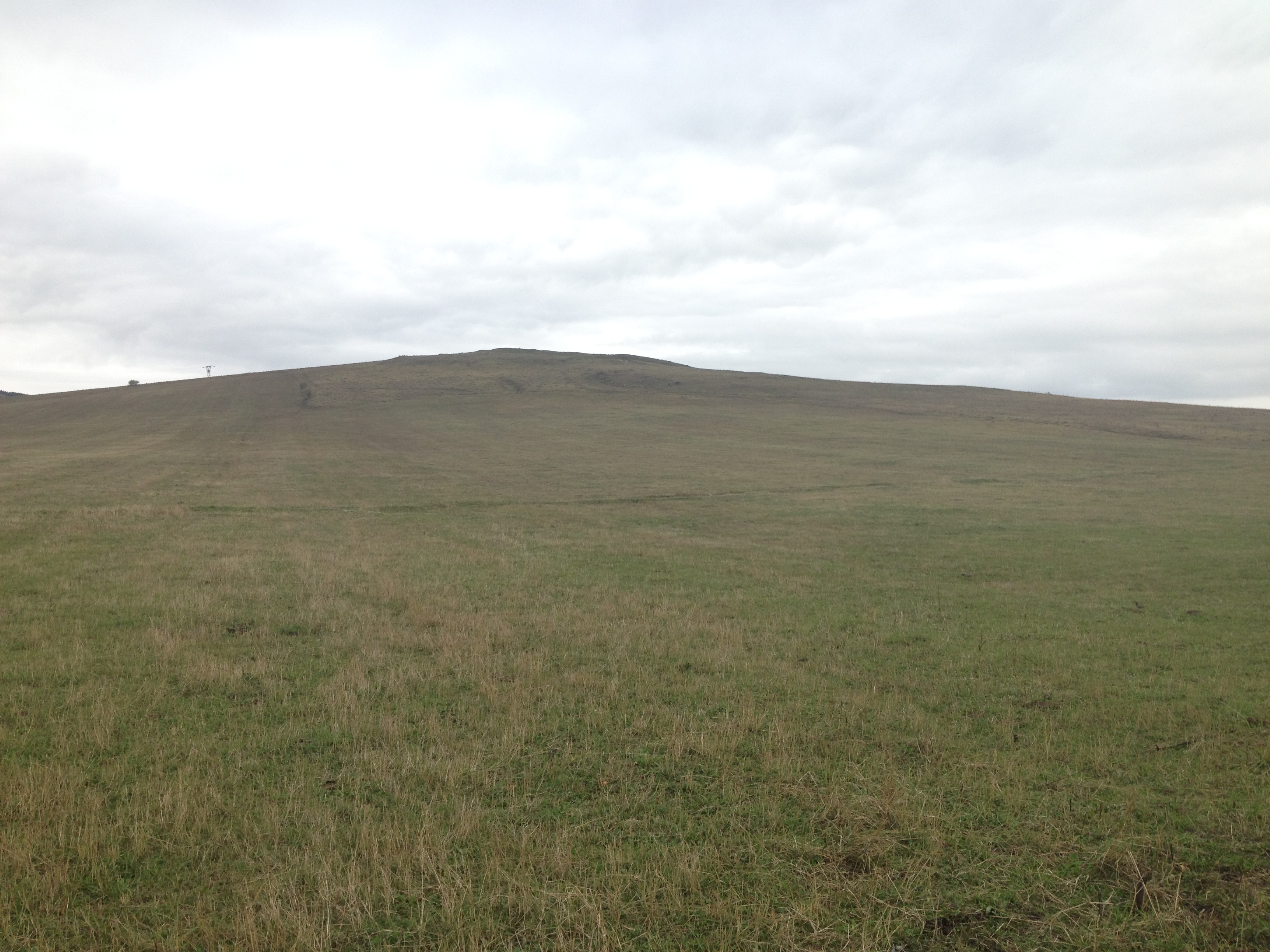
First town in Armenia

IMG_6666.jpg
Topographic Map of Apaven, Armenia
Find elevation by address:

Places near Apaven, Armenia:
Sarchapet
Lernahovit
Petrovka
Kazreti
Bolnisi
Alaverdi
Aygehat
Trchkan Waterfall
Dzoraget
Dsegh
Vahagni
Kvemo Kartli
Chkalov
Neghots
Vanadzor
Tsalka
Bagratashen
Manglisi
Shnogh
Marneuli
Recent Searches:
- Elevation of Corso Fratelli Cairoli, 35, Macerata MC, Italy
- Elevation of Tallevast Rd, Sarasota, FL, USA
- Elevation of 4th St E, Sonoma, CA, USA
- Elevation of Black Hollow Rd, Pennsdale, PA, USA
- Elevation of Oakland Ave, Williamsport, PA, USA
- Elevation of Pedrógão Grande, Portugal
- Elevation of Klee Dr, Martinsburg, WV, USA
- Elevation of Via Roma, Pieranica CR, Italy
- Elevation of Tavkvetili Mountain, Georgia
- Elevation of Hartfords Bluff Cir, Mt Pleasant, SC, USA