Elevation of Lernahovit, Armenia
Location: Armenia >
Longitude: 44.370404
Latitude: 41.1615517
Elevation: 1655m / 5430feet
Barometric Pressure: 83KPa
Elevation Map:
Satellite Map:
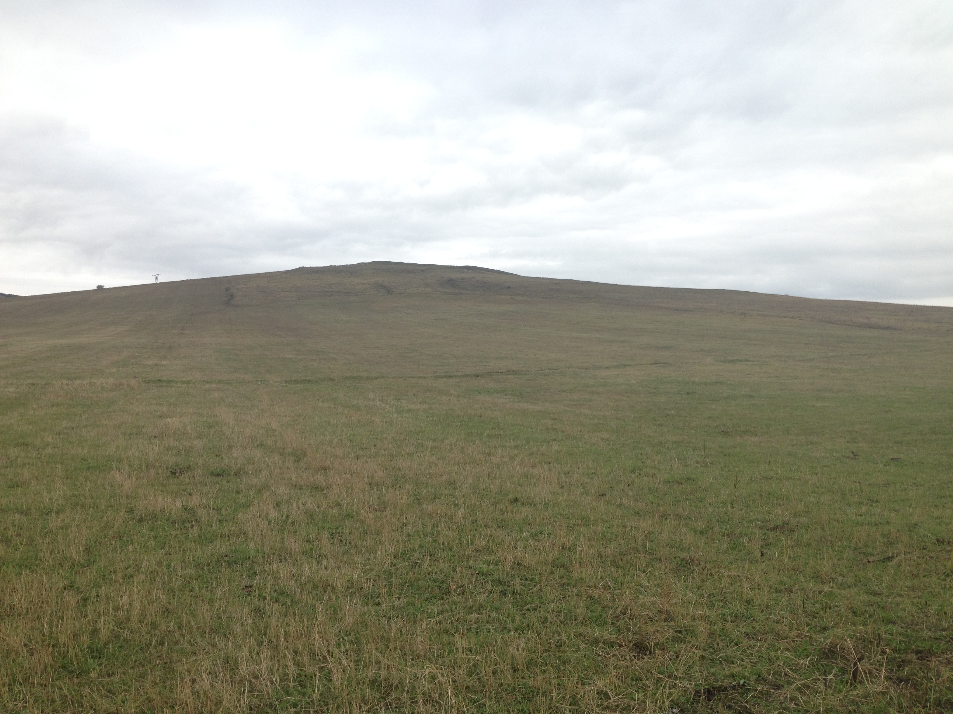
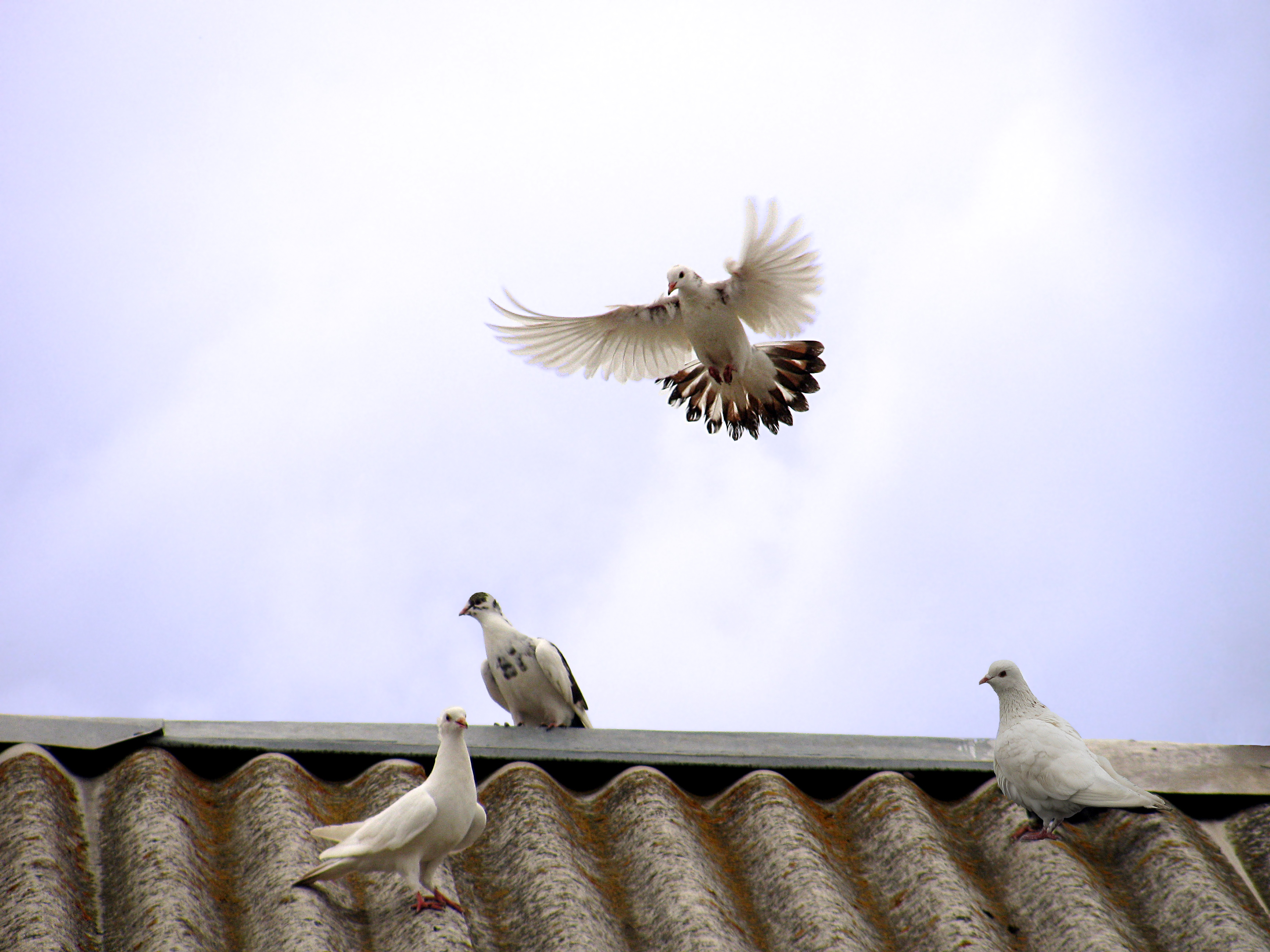
Related Photos:

Our bikes waiting to get down

Sleeping place
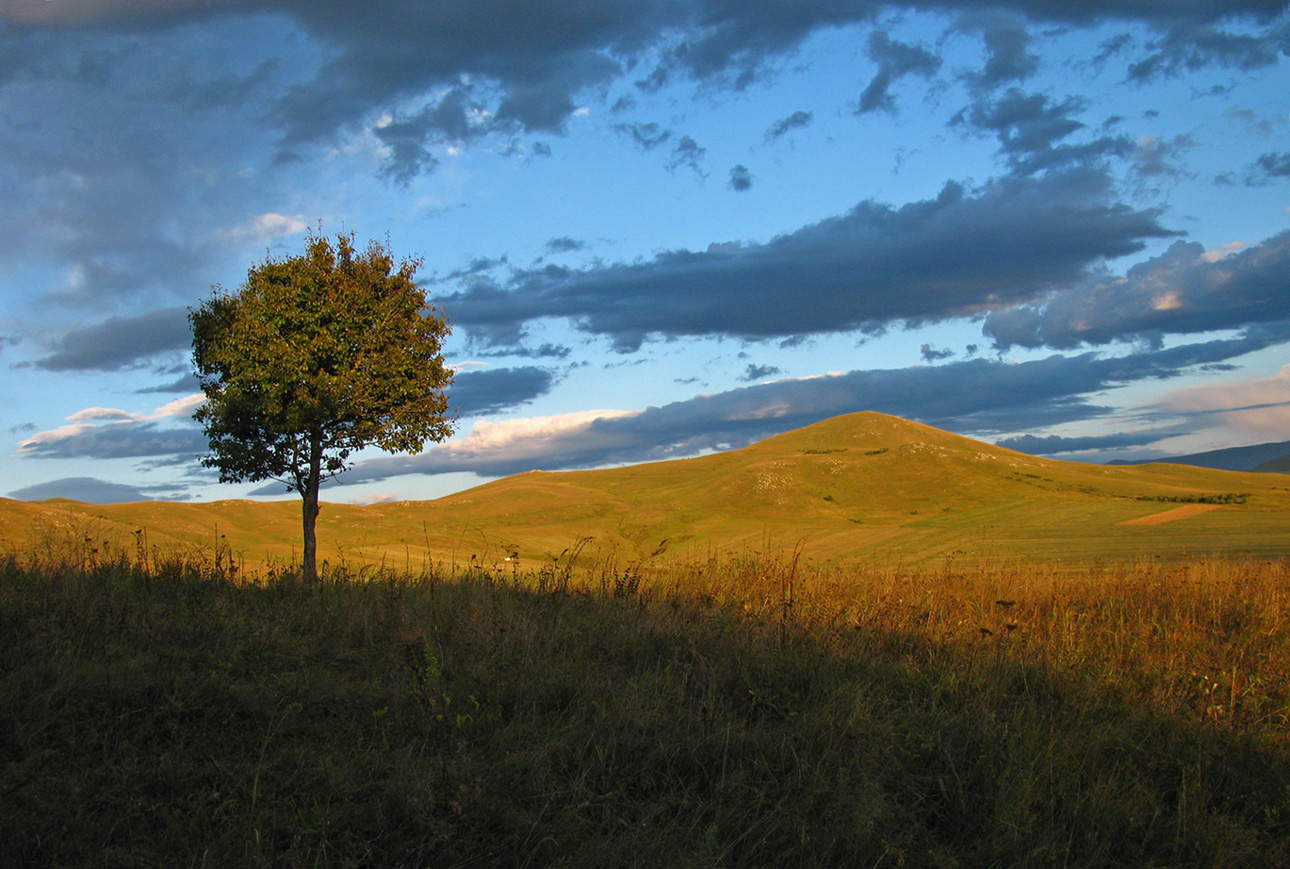
Almost autumn

tashir (4)

tashir (3)
tashir (2)

tashir (5)
Good bye!!!

First town in Armenia
Topographic Map of Lernahovit, Armenia
Find elevation by address:

Places near Lernahovit, Armenia:
Sarchapet
Apaven
Petrovka
Kazreti
Aygehat
Alaverdi
Dzoraget
Bolnisi
Dsegh
Vahagni
Trchkan Waterfall
Chkalov
Vanadzor
Neghots
Kvemo Kartli
Bagratashen
Shnogh
Karkop
Ptghavan
Marneuli
Recent Searches:
- Elevation of Corso Fratelli Cairoli, 35, Macerata MC, Italy
- Elevation of Tallevast Rd, Sarasota, FL, USA
- Elevation of 4th St E, Sonoma, CA, USA
- Elevation of Black Hollow Rd, Pennsdale, PA, USA
- Elevation of Oakland Ave, Williamsport, PA, USA
- Elevation of Pedrógão Grande, Portugal
- Elevation of Klee Dr, Martinsburg, WV, USA
- Elevation of Via Roma, Pieranica CR, Italy
- Elevation of Tavkvetili Mountain, Georgia
- Elevation of Hartfords Bluff Cir, Mt Pleasant, SC, USA