Elevation of Township Hwy 20, Ashville, OH, USA
Location: United States > Ohio > Pickaway County > Ashville >
Longitude: -82.914082
Latitude: 39.769931
Elevation: -10000m / -32808feet
Barometric Pressure: 295KPa
Elevation Map:
Satellite Map:
Related Photos:

The Bungalow

Red Farm House #2

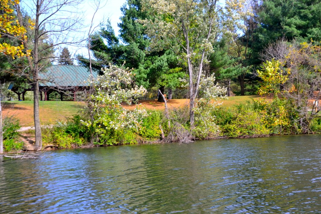
Scioto Grove Metro Park, aerial view

Caution - Cornfield

This view seemed like a perfect placed ending for today. Was glad to spend this time with my family, we do well surrounded by the ones we love during these moments of sadness & grief. We appreciate everyone who has shared their prayers and support. Please

Hartman Bridge No. 2

Renick House - South Bloomfield, OH

New High School

Ambrosio adjustable stem

Praying Mantis

Pied-billed Grebe
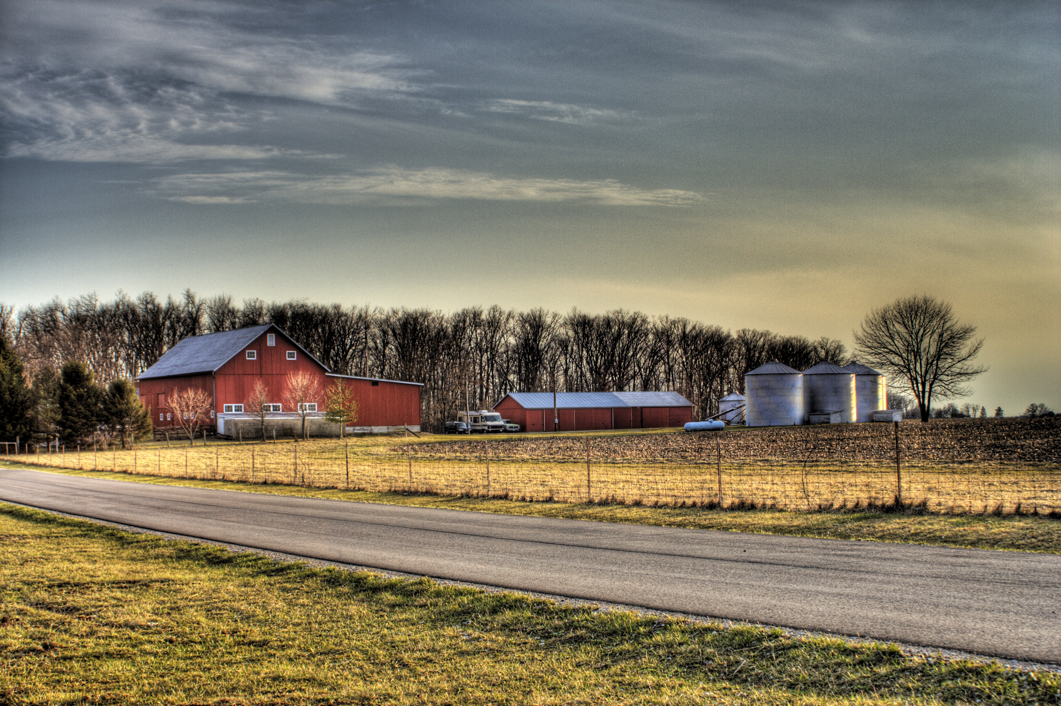
Red Farm House #1
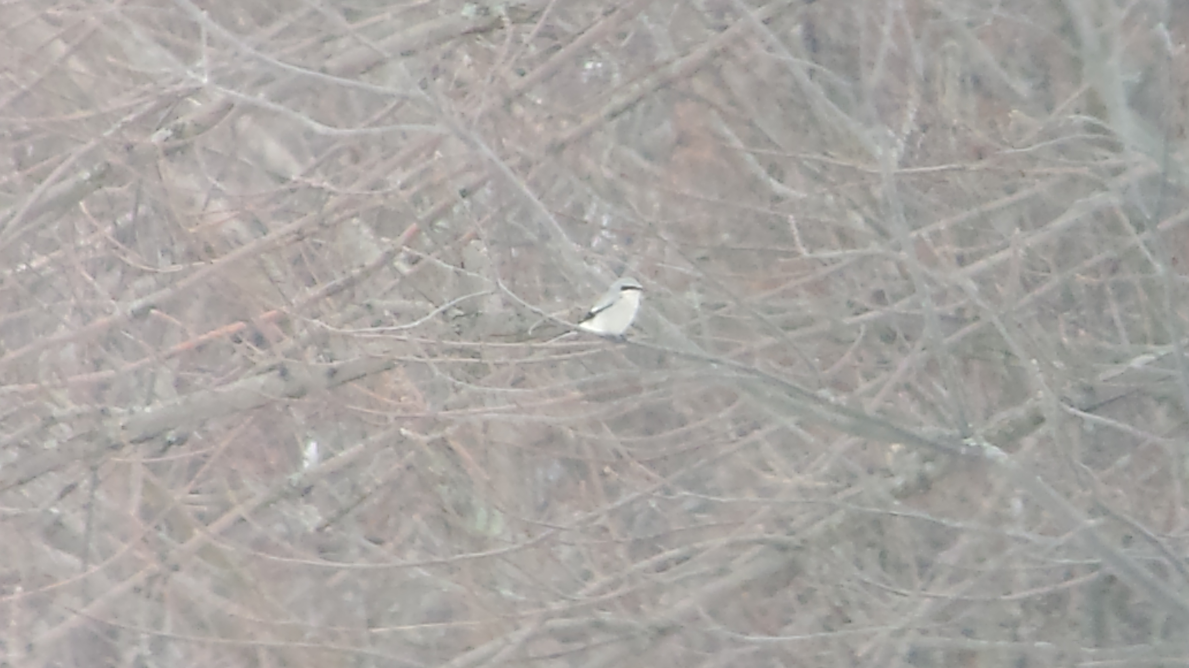
Northern Shrike

Northern Shrike

Northern Rough-winged Swallow

Rarey Cemetery
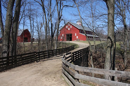
Slate Run Historical Farm

Winter Wren

Slate Run Park 2-26-2011 036

Zanerian Black Gloss Ink

Soy Bean Field

Watercolor Fishing

Forest Path

meandering path

The mighty, muddy Scioto

Again, with the Swope Rd. Oy vey!

just lookin bw
three creeks metro

Riding into the sun on Cedar Hill Rd.

The Open Road

Three Creeks

Reigle Rd barn with stripes

Three Creeks

Year 3 2009-06-16 (e)

Pretty sky

Three Creeks Metro

The Last Picture Show

Slate Run

Year 4 2010-05-12 (a)

Three Creeks
Topographic Map of Township Hwy 20, Ashville, OH, USA
Find elevation by address:

Places near Township Hwy 20, Ashville, OH, USA:
11205 Goodman Rd
Madison Township
Groveport
Marcy Rd, Ashville, OH, USA
1372 Winchester Southern Rd
5215 Groveport Rd
Hamilton Township
1037 Groveport Rd
1295 Cedar Hill Rd Nw
El Pedregal Mexican Restaurant
755 Cedar Hill Rd Nw
1729 Arcadia Ave
Obetz Ave, Obetz, OH, USA
South Columbus
2767 Proclamation Way
72 Park St, Canal Winchester, OH, USA
Williams Creek
Winchester Park
Canal Winchester
North Trine Street
Recent Searches:
- Elevation of Corso Fratelli Cairoli, 35, Macerata MC, Italy
- Elevation of Tallevast Rd, Sarasota, FL, USA
- Elevation of 4th St E, Sonoma, CA, USA
- Elevation of Black Hollow Rd, Pennsdale, PA, USA
- Elevation of Oakland Ave, Williamsport, PA, USA
- Elevation of Pedrógão Grande, Portugal
- Elevation of Klee Dr, Martinsburg, WV, USA
- Elevation of Via Roma, Pieranica CR, Italy
- Elevation of Tavkvetili Mountain, Georgia
- Elevation of Hartfords Bluff Cir, Mt Pleasant, SC, USA