Elevation of El Pedregal Mexican Restaurant, 44 E Columbus St, Lithopolis, OH, USA
Location: United States > Ohio > Fairfield County > Bloom Township >
Longitude: -82.807367
Latitude: 39.8034209
Elevation: 283m / 928feet
Barometric Pressure: 98KPa
Elevation Map:
Satellite Map:
Related Photos:

Spring Dreams

The Venture

The root of all fear is that we've been forced to deny who we are

Rarey Cemetery
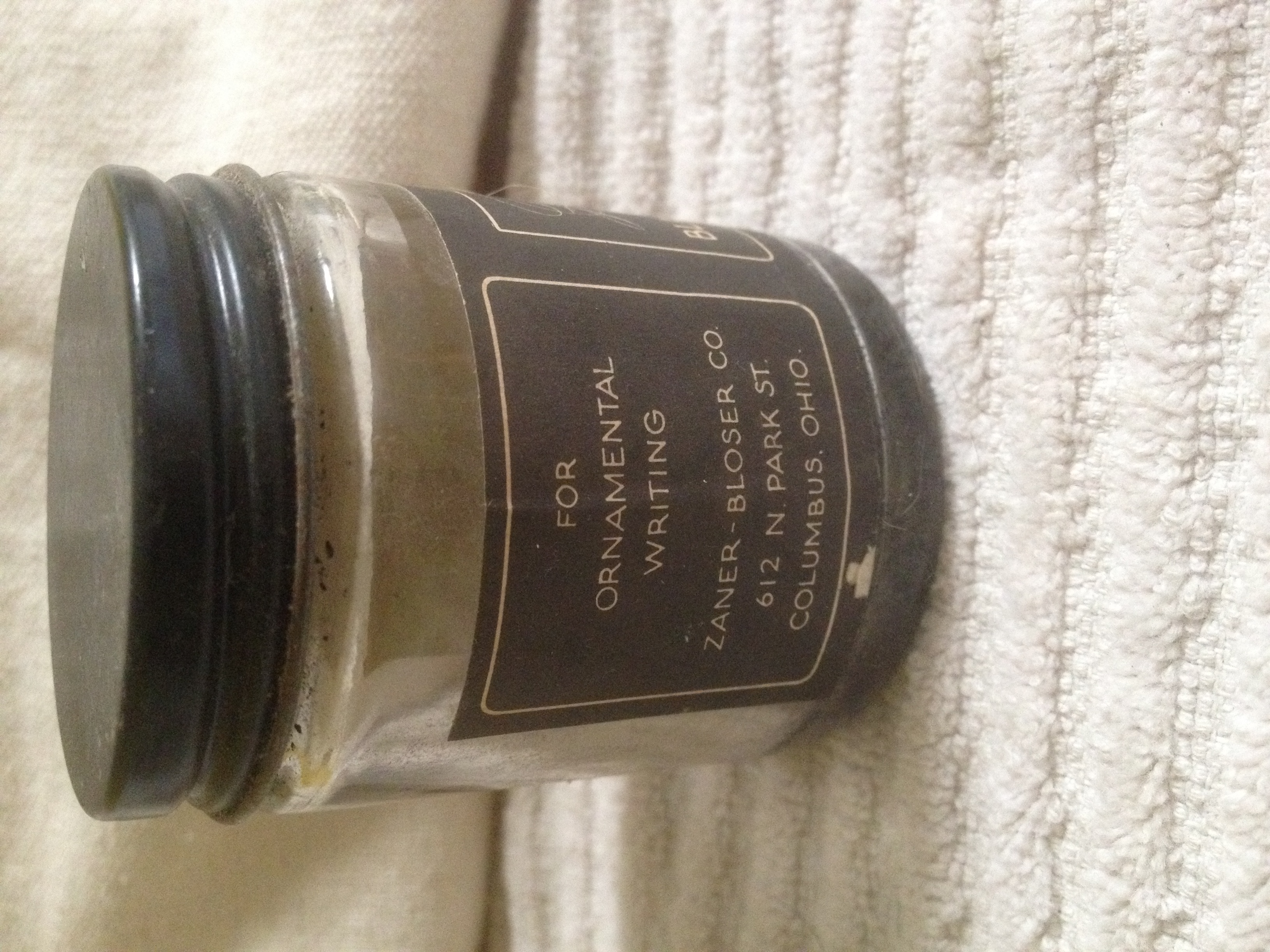
Zanerian Black Gloss Ink
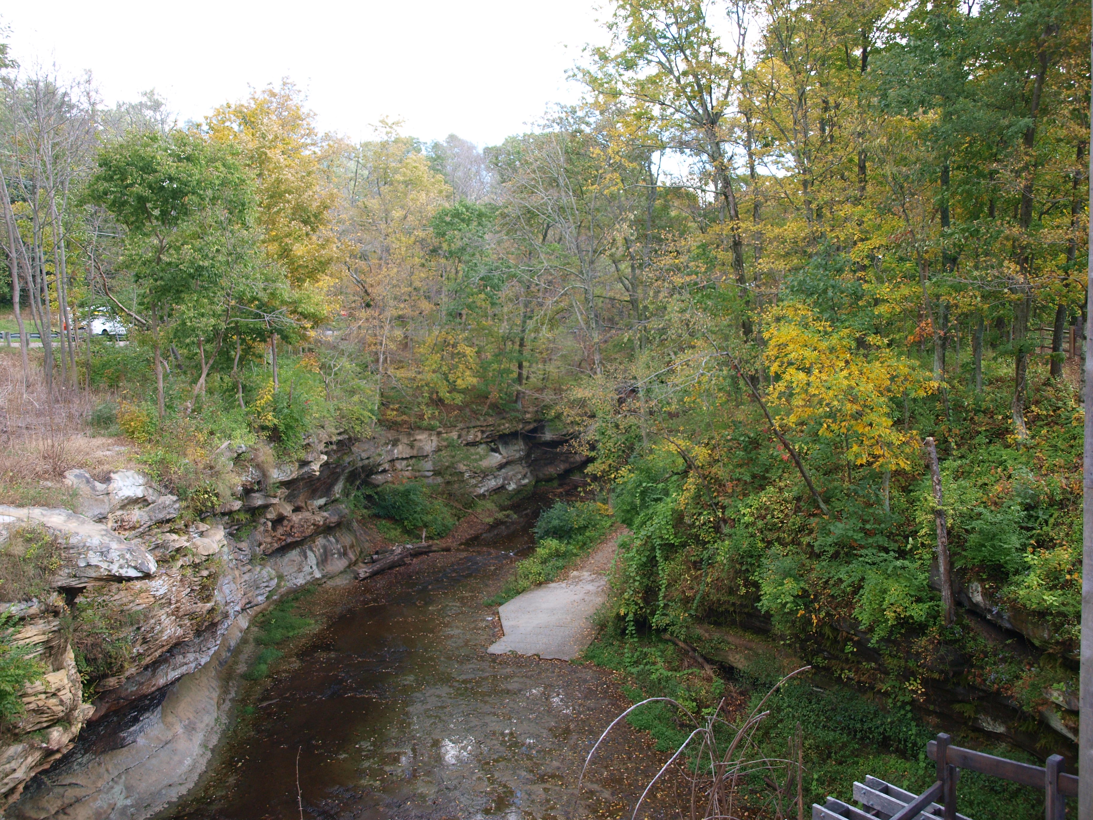
Rock Mill, gorge view, Fairfield County, Ohio

The view outside my windshield. #OH #Sunset

The Bungalow

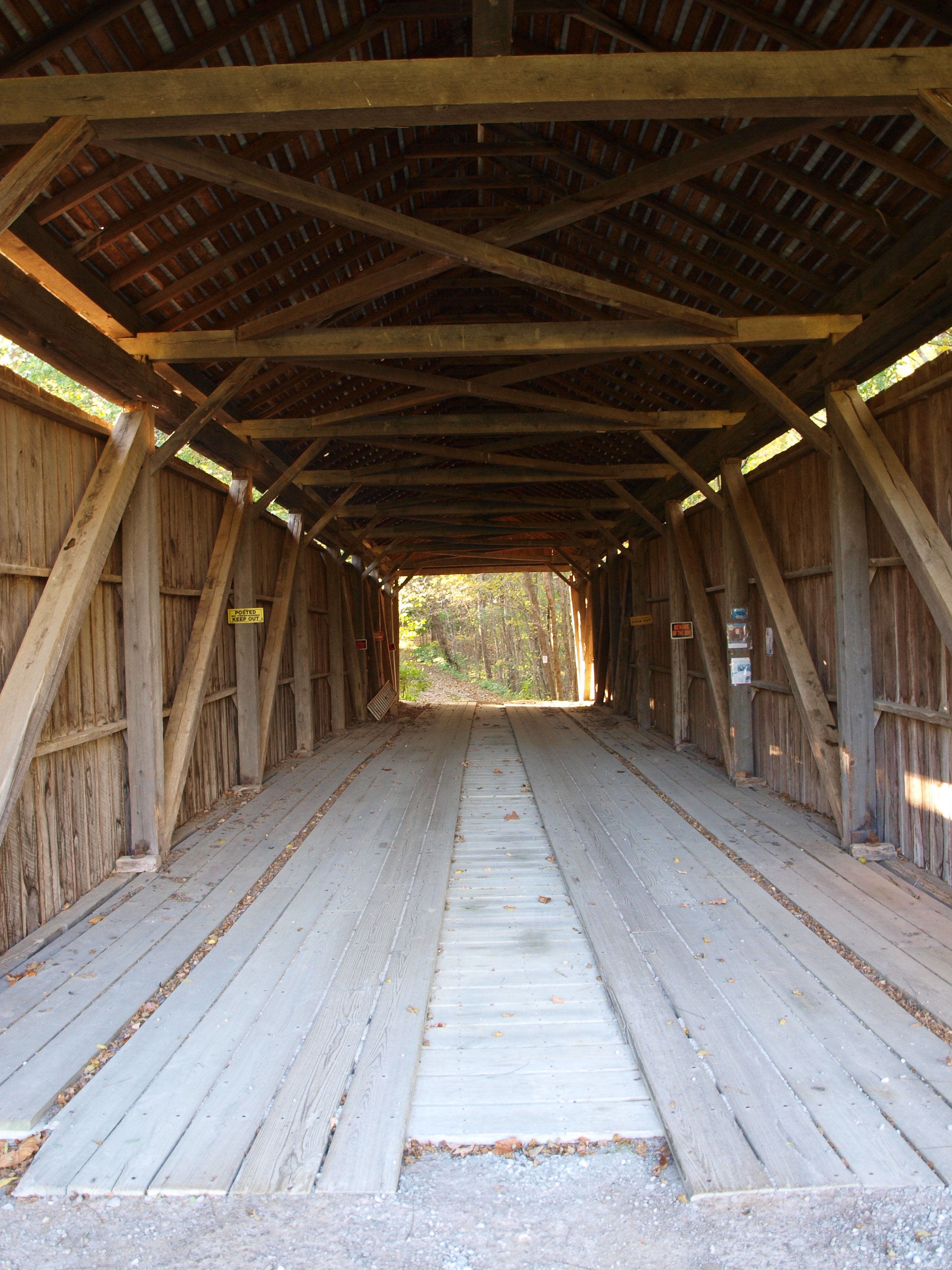
Rock Mill Covered Bridge

Hartman Bridge No. 2

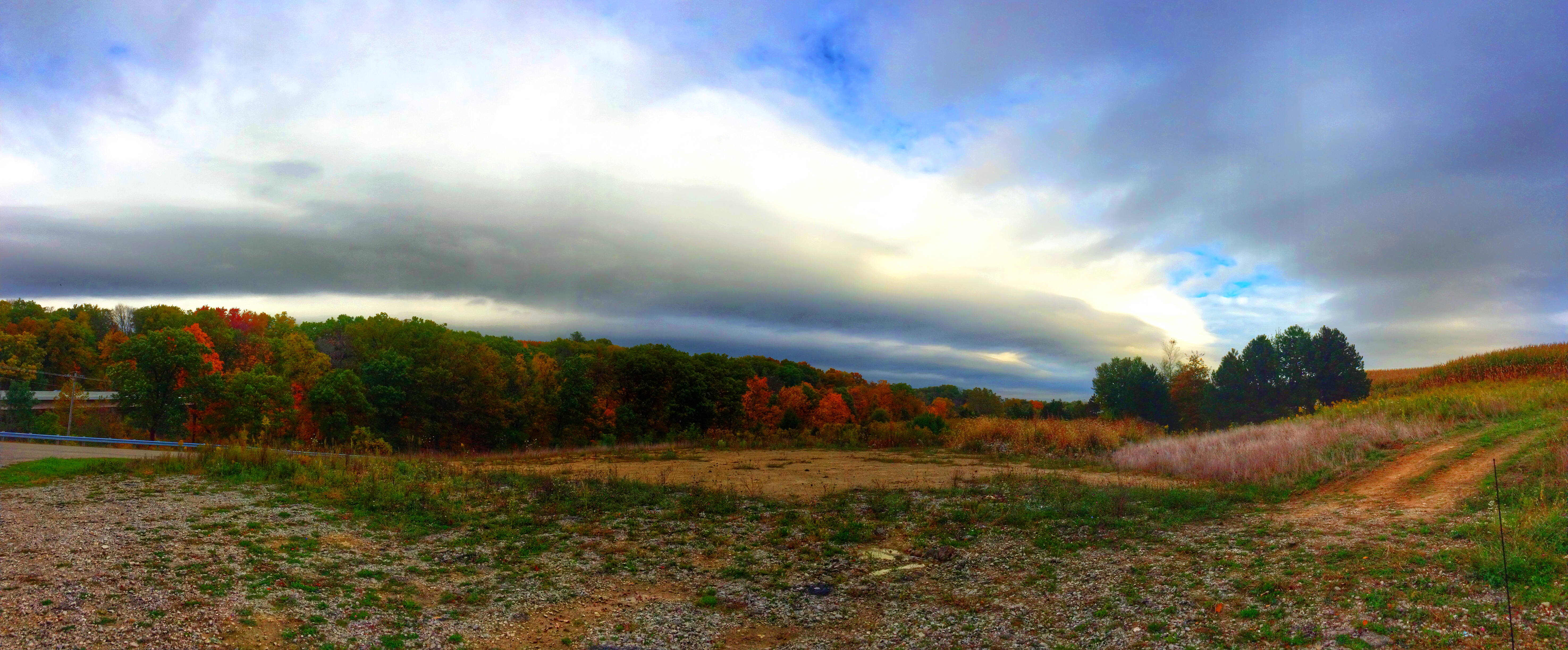
Skies over Ohio
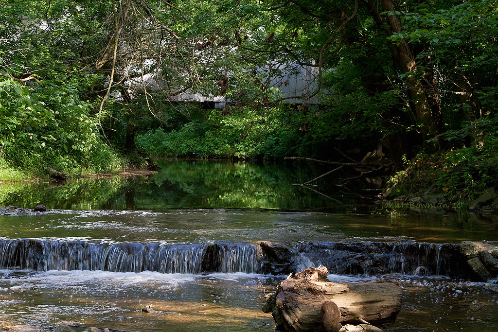
Sycamore Creek & Zeller-Smith Covered Bridge
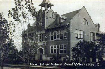
New High School
Hizey Covered Bridge, barrel view, Fairfield County, Ohio
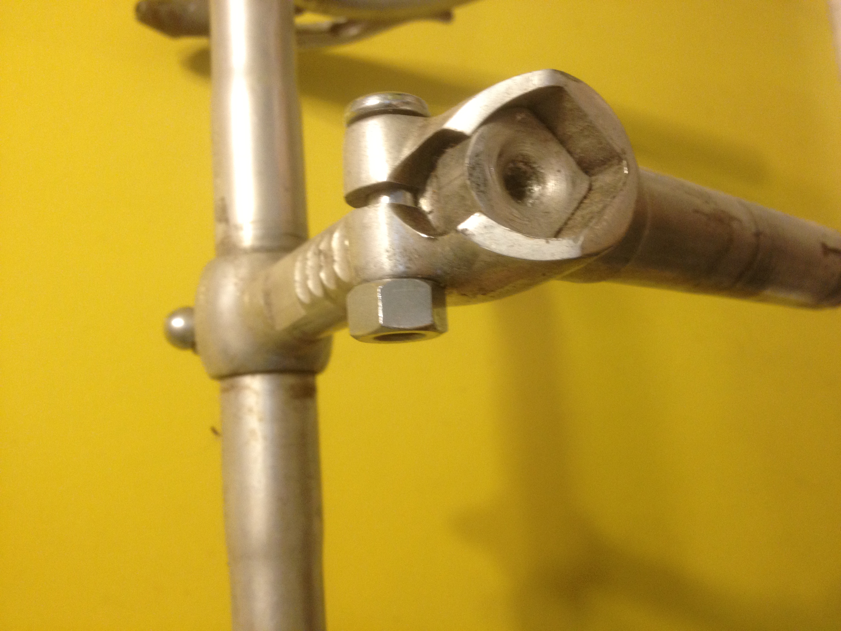
Ambrosio adjustable stem

Pied-billed Grebe
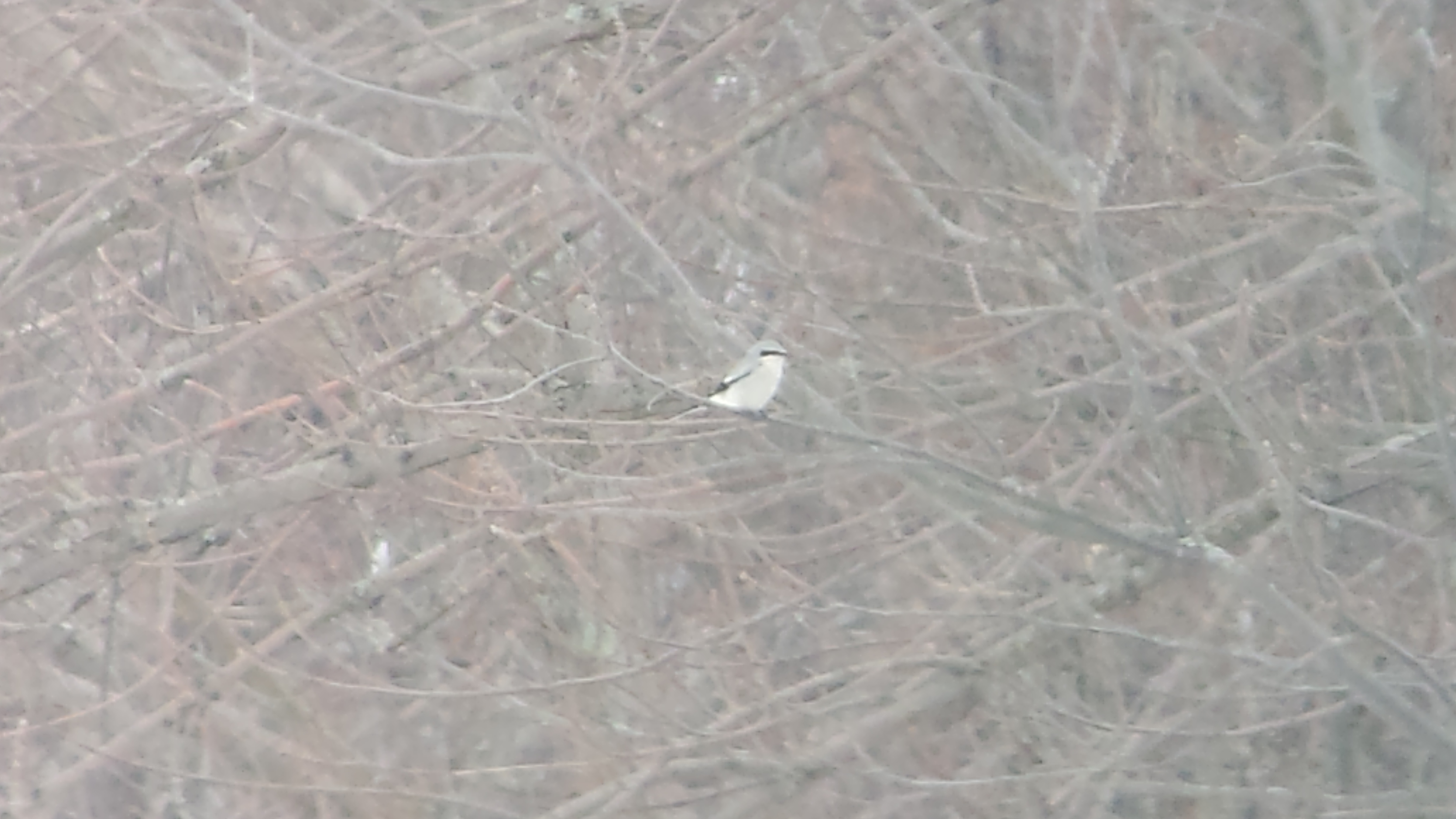
Northern Shrike

Northern Shrike

Barn Owl

Northern Rough-winged Swallow

Harris's Sparrow

Sunset in Canal Winchester OH

The Meadow
Rockmill Sky
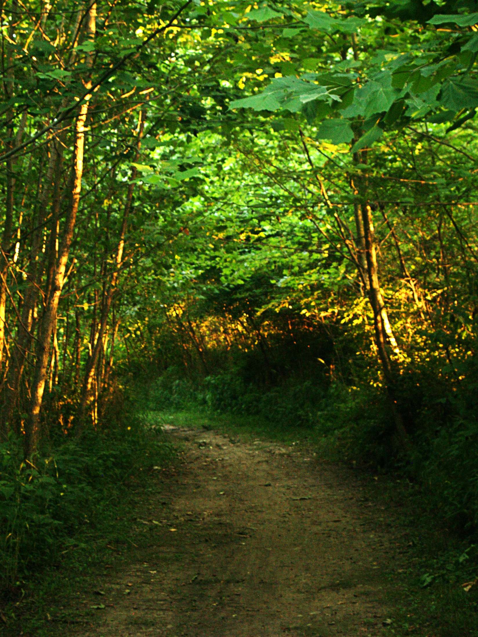
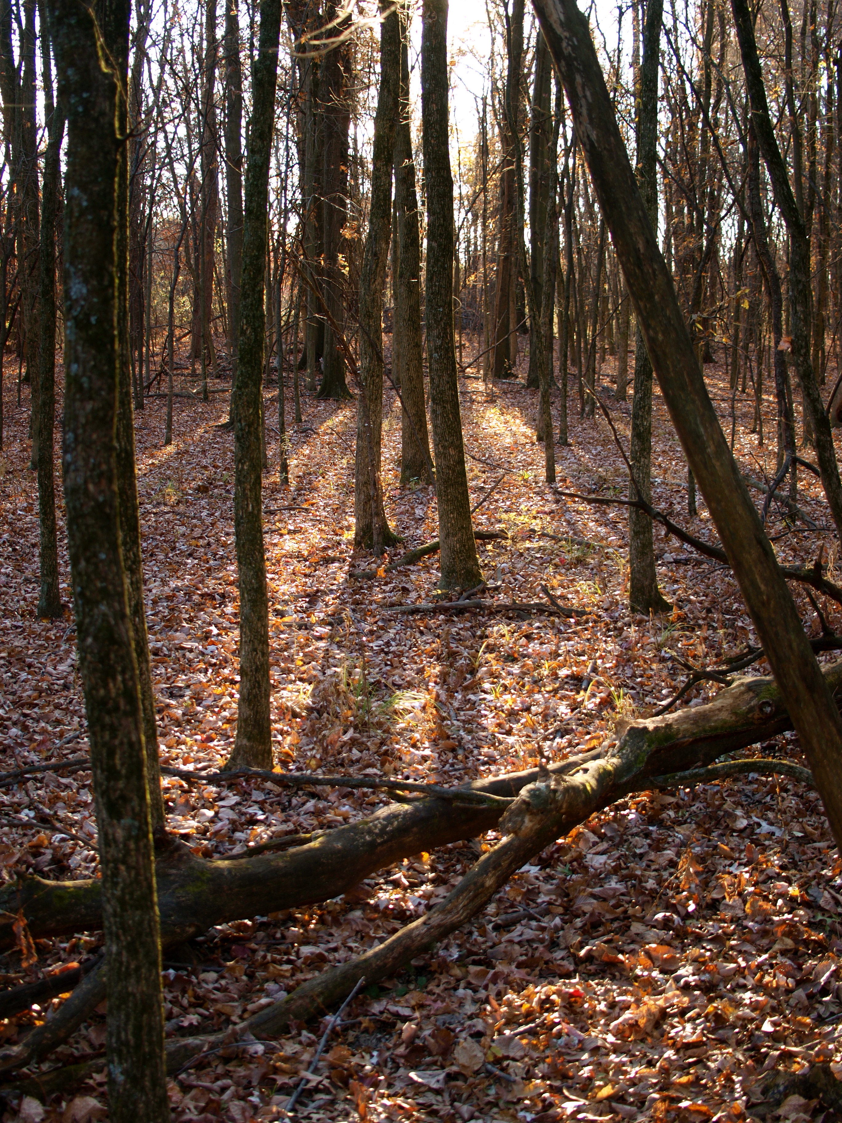
Forest Path
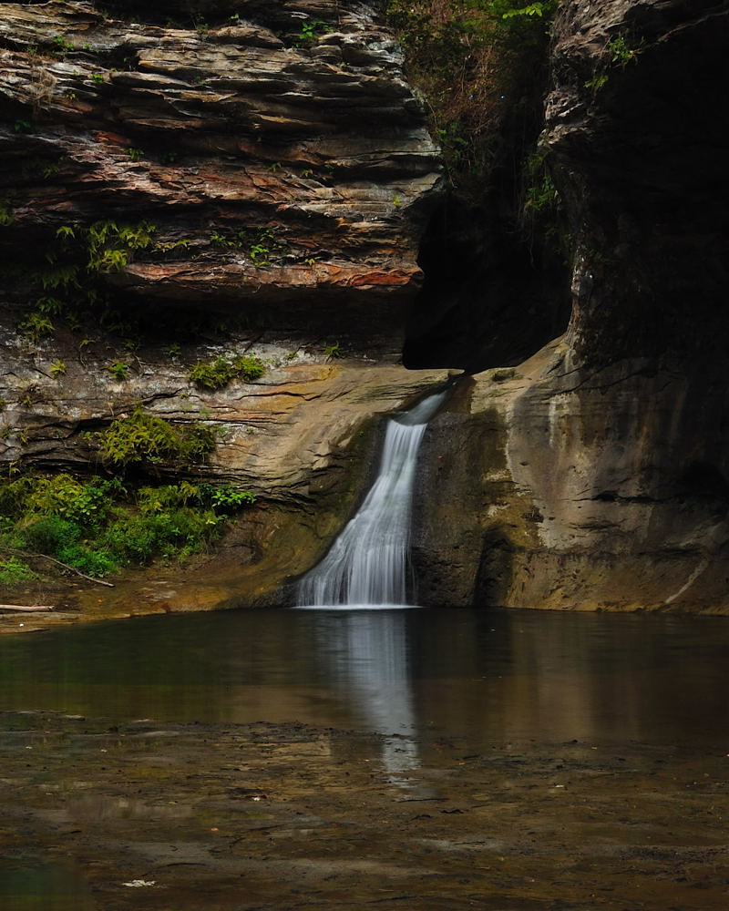
Rock Mill Falls
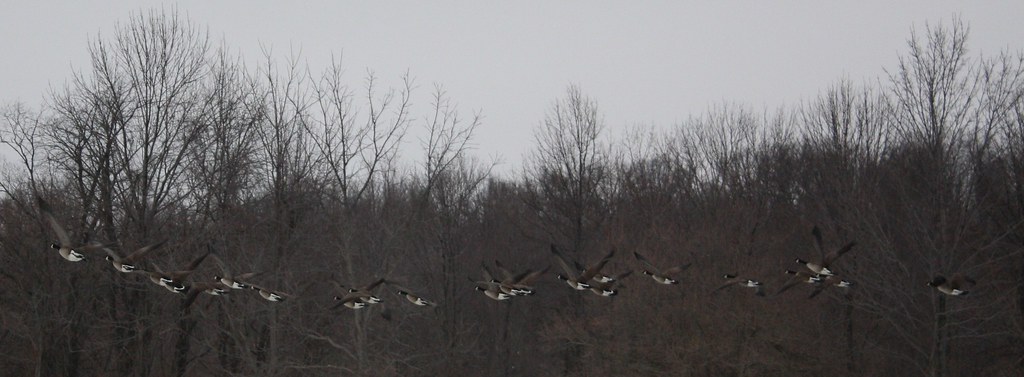
Ducks in Flight
three creeks metro
3 creeks metro

#snow day #pickerington #Ohio #columbusohio
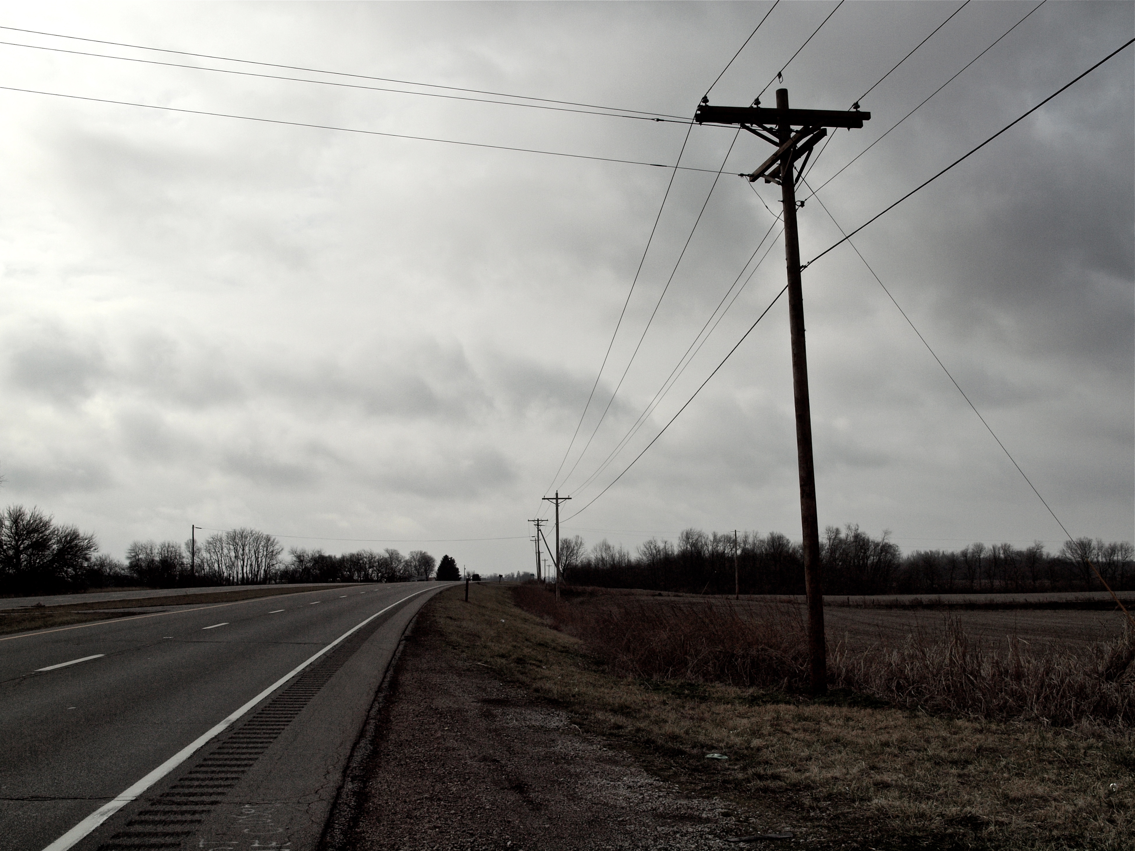
The Open Road
Blacklick Woods

One evening at band practice

IMG_0158 B&W

back home 2

Good evening ohio
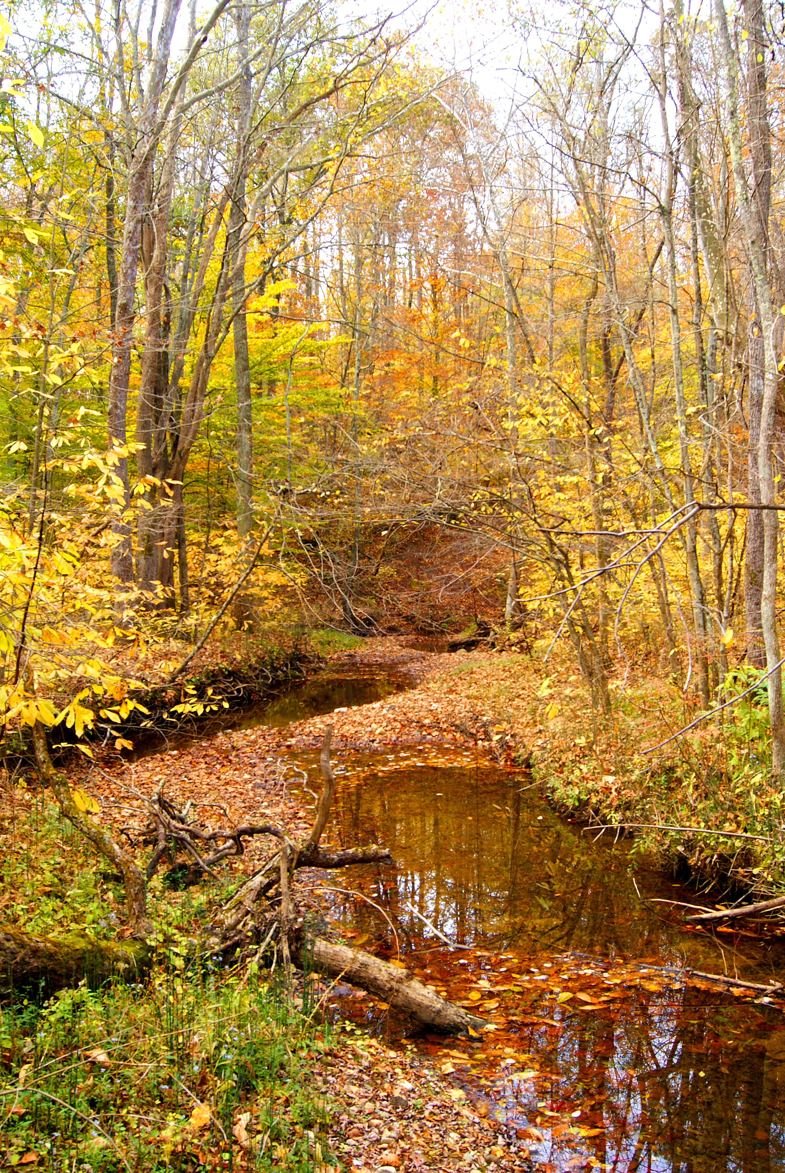
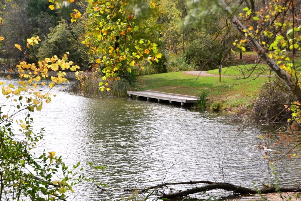
autumn stream
Corn Crib
Reigle Rd barn with stripes

Ohio Skies
uphill fence
Slate Run
Topographic Map of El Pedregal Mexican Restaurant, 44 E Columbus St, Lithopolis, OH, USA
Find elevation by address:

Places near El Pedregal Mexican Restaurant, 44 E Columbus St, Lithopolis, OH, USA:
North Trine Street
Winchester Park
72 Park St, Canal Winchester, OH, USA
Canal Winchester
232 N Trine St
North Winchester
3395 Amanda Northern Rd Nw
1295 Cedar Hill Rd Nw
1037 Groveport Rd
1372 Winchester Southern Rd
Marcy Rd, Ashville, OH, USA
755 Cedar Hill Rd Nw
Bloom Township
Pickerington Rd, Carroll, OH, USA
8272 Woodstream Dr
Fox Glen Drive East
High St NW, Carroll, OH, USA
419 Sycamore Creek St
Bennington Avenue Northwest
7920 Bennington Ave Nw
Recent Searches:
- Elevation of Corso Fratelli Cairoli, 35, Macerata MC, Italy
- Elevation of Tallevast Rd, Sarasota, FL, USA
- Elevation of 4th St E, Sonoma, CA, USA
- Elevation of Black Hollow Rd, Pennsdale, PA, USA
- Elevation of Oakland Ave, Williamsport, PA, USA
- Elevation of Pedrógão Grande, Portugal
- Elevation of Klee Dr, Martinsburg, WV, USA
- Elevation of Via Roma, Pieranica CR, Italy
- Elevation of Tavkvetili Mountain, Georgia
- Elevation of Hartfords Bluff Cir, Mt Pleasant, SC, USA