Elevation of Groveport Rd, Canal Winchester, OH, USA

Location: United States > Ohio > Franklin County > Madison Township > Blacklick Estates > South Columbus >

Longitude: -82.837233

Latitude: 39.8439059

Elevation: 226m / 741feet

Barometric Pressure: 99KPa

Elevation Map:

elevation map of Groveport Rd, Canal Winchester, OH, USA

Satellite Map:

Satellite map of Groveport Rd, Canal Winchester, OH, USA

Related Photos:

Spring Dreams
rockmill coveredbridge fairfieldcounty ohio
Rock Mill Covered Bridge
The Venture
rockmill coveredbridge mills gristmills waterfall fairfieldcounty ohio
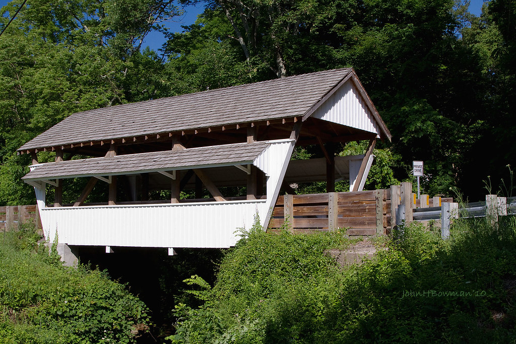
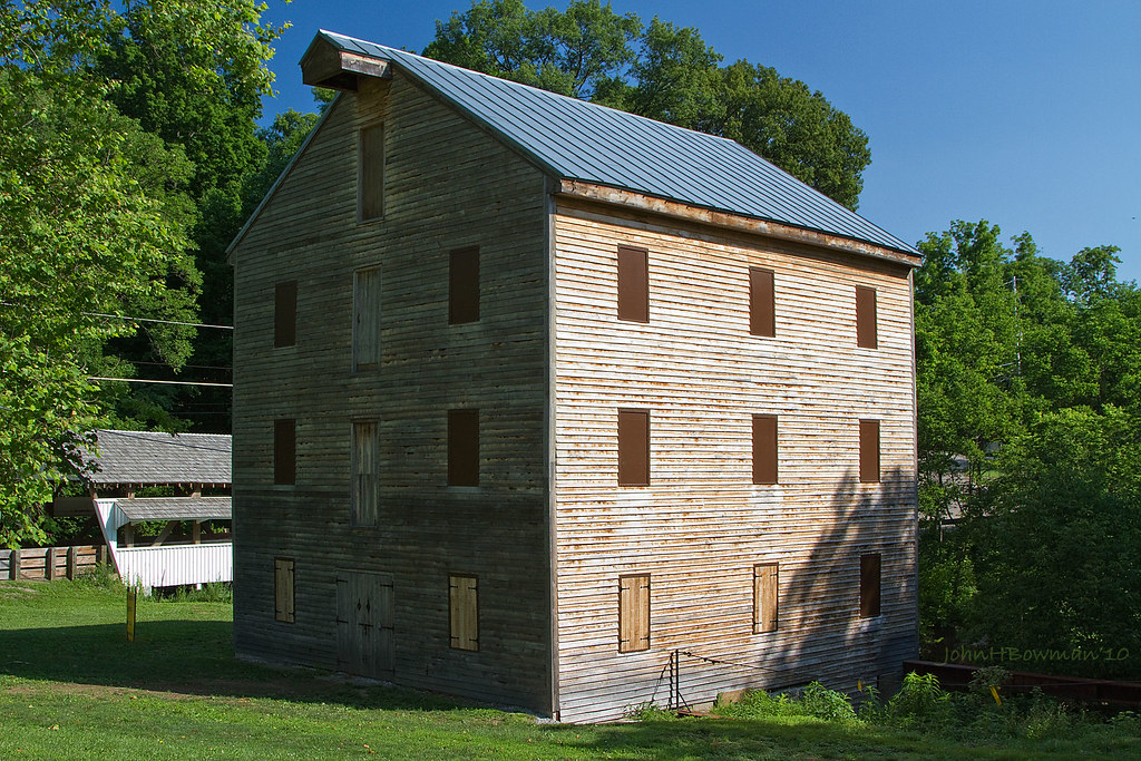
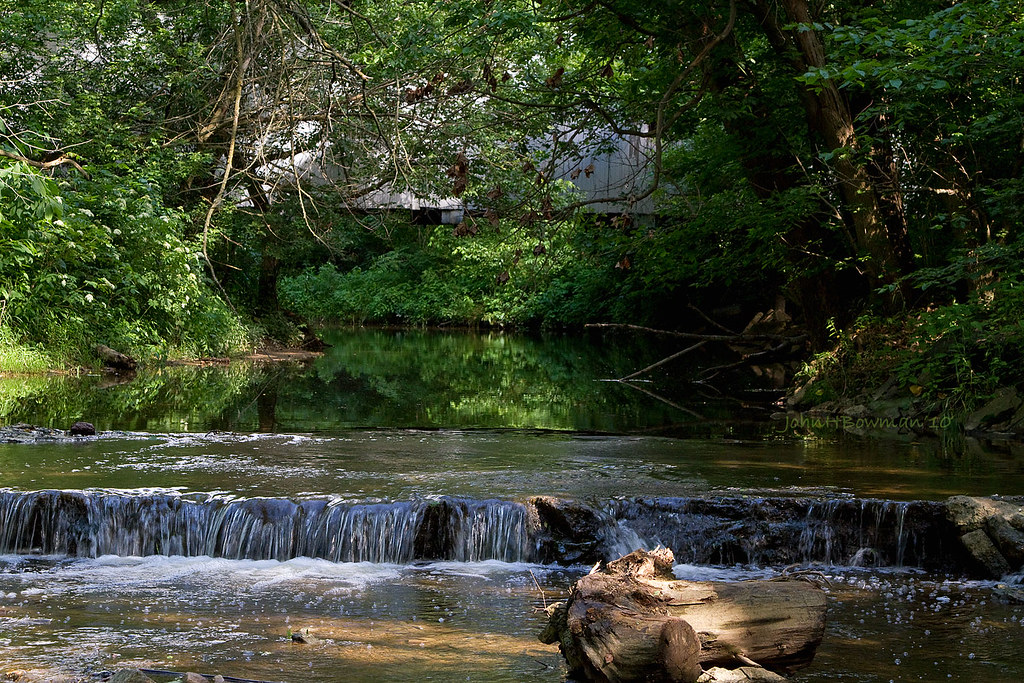
Mill, Bridge, Waterfall
winter cold self square book candle box blanket shack matches slippers 366
The Bungalow
ohio june 2010 coveredbridges hockingriver riversandstreams queenposttruss fairfieldcounty nrhp canon24105l ohiocoveredbridges june2010 rockmillbridge
Rock Mill Bridge - Fairfield County, Ohio
urban abandoned decay columbusohio eastmainstreet urbex landmarkgrainelevator
SUN DRENCHED GRAIN
calligraphy shortnorth zanerbloser
Zanerian Black Gloss Ink
insect insectpins insectcollecting donaldjborror uploaded:by=flickrmobile flickriosapp:filter=nofilter hamiltonbell
Hamilton Bell Insect Pins
road county old blue school ohio red sky house building brick abandoned field yellow clouds corner franklin corn farm empty hamilton route tape crop caution 23 schoolhouse hartman township rathmell
Caution - Cornfield
portrait people woman man guy girl headless nicole blood head manipulation tyler identity gore bloody float decapitated levitate bachman krysta
The root of all fear is that we've been forced to deny who we are
autumn park sciotogrovemetropark specialeffects columbusmetroparks highdynamicrange hdr fall grovecity ohio unitedstates us
Scioto Grove Metro Park, aerial view
show above light columbus sunset ohio red sky bw autostitch orange usa cloud sun moon color look smart weather yellow clouds sunrise dark photography photo skies contrail phone purple unitedstates stitch ominous howard central cellphone cell bluesky clear smartphone orangesky jefferson redsky contrails tops merged darksky blackclouds pickerington yellowsky 43147 centralohio iphone4 iphoneography
Skies over Ohio
ohio parks august 2012 coveredbridges riversandstreams lockvillepark fairfieldcounty canon24105l ohiocoveredbridges ohioeriecanal localparks august2012 hartmanbridge2 multiplequeenposttruss
Hartman Bridge No. 2
thedreamrocket internationalfibercollaborative saturnvrocket space nasa astronaut conservation aliens twintowers health family diversity glitter christmas newyork nova art environment clean trees water trash planting green people cancer group equality paint flag elementary school home humans agriculture mountain save leader unitedstatesofamerica facebook felt kentucky washington olympic peace presidentobama stars community global kids express explore discover war animal abuse racism religious intolerance
Whitehall-Yearling High School, Whitehall, OH
European Starlings, Common Grackles, Red-winged Blackbirds + 1 Red-tailed Hawk (Video 2/5)
signs catchycolors neon yabbadabbadoo 52weeks2012
Drexel Lights
records cycling journal mileage uploaded:by=flickrmobile flickriosapp:filter=nofilter
Bicycle mileage log (years 1989-2006) from old journal
ohio june mills 2010 coveredbridges fairfieldcounty nrhp canon24105l rockmill june2010 rockmillbridge
Rock Mill & Rock Mill Bridge - Fairfield County, Ohio
columbus ohio metal rust gun tank streak display patton tube heavymetal armor cupola cannon conflict oh hatch preserved veteran streaks armored turret turrets sights machinegun tanks veterans coldwar vfw afv sighting gunbarrel vets armoredvehicle hatches franklincounty veteransofforeignwars reynoldsburg mantlet pattontank m47 m47tank centralohio m47patton vfwpost guntube tankturret vfwpost9473
Turret Front View
ohio june 2010 coveredbridges pickerington sycamorecreek riversandstreams fairfieldcounty canon24105l ohiocoveredbridges sycamorepark multiplekingposttruss june2010 zellersmithbridge
Sycamore Creek & Zeller-Smith Covered Bridge
nature waterfalls milky nikond3300
Buttermilk Falls
slate run ohio metro park stitched
Slate Run
park trees columbus ohio summer flower macro tree green fall nature floral weather closeup garden insect landscape franklin fly wings natural dragonfly aaron conservatory september blackburn fungus audra
Fall Dragonfly
watercolorpainting bird
Small watercolor painting of a bird (v2)
man field grass clouds self square sitting wheat meadow 366
The Meadow
last picture show south drivein theatre movie theater film cinema screen empty vacant closed winter offseason deserted parking lot red post speakers gravel sky clouds outdoor landscape pole
The Last Picture Show
nature forest 52weeks2012
Forest Path
sunset sky moon night clouds sunrise stitch howardtj
Rockmill Sky
drawing crayon bird
Tonight’s Crayon Drawing: Bird
road trees ohio sky color abandoned field lines electric clouds rural highway open power farm empty south utility pole route southern wires desaturated 23 deserted
The Open Road
longexposure waterfall nikon coveredbridge circularpolarizer ndfilter hockingriver ohiowaterfall nikond90 rockmillfalls
Rock Mill Falls
bridge road abandoned urbex ohio sunrise dawn
Ashville Pike Bridge 2
autumn park sciotogrovemetropark specialeffects columbusmetroparks highdynamicrange hdr fall grovecity ohio unitedstates us
The mighty, muddy Scioto
columbuscastings columbus castings ohio industrial industry foundry manufacturing
Columbus Castings Pano 2
longexposure waterfall nikon coveredbridge circularpolarizer ndfilter hockingriver ohiowaterfall nikond90 rockmillfalls
Rock Mill Falls
just lookin bw
park autumn trees ohio nature leaves october path sony trail alpha metropark a230 2011 slaterun pickawaycounty slaterunmetropark
meandering path
columbuscastings columbus castings ohio industrial industry foundry manufacturing
Columbus Castings Pano 1
ohio cycling hill cedar rd fairfieldcounty
Riding into the sun on Cedar Hill Rd.