Elevation of Cedar Hill Rd NW, Canal Winchester, OH, USA
Location: United States > Ohio > Fairfield County > Bloom Township >
Longitude: -82.805974
Latitude: 39.754396
Elevation: 312m / 1024feet
Barometric Pressure: 98KPa
Elevation Map:
Satellite Map:
Related Photos:

Spring Dreams

Rock Mill Bridge - Fairfield County, Ohio
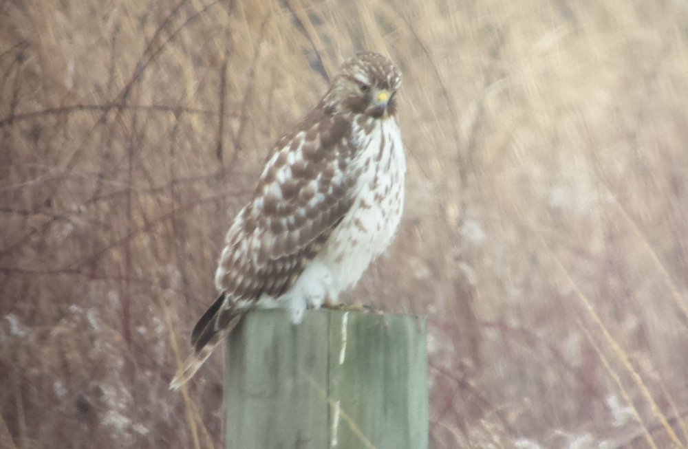
Red-Shouldered Hawk
September 3, 2004
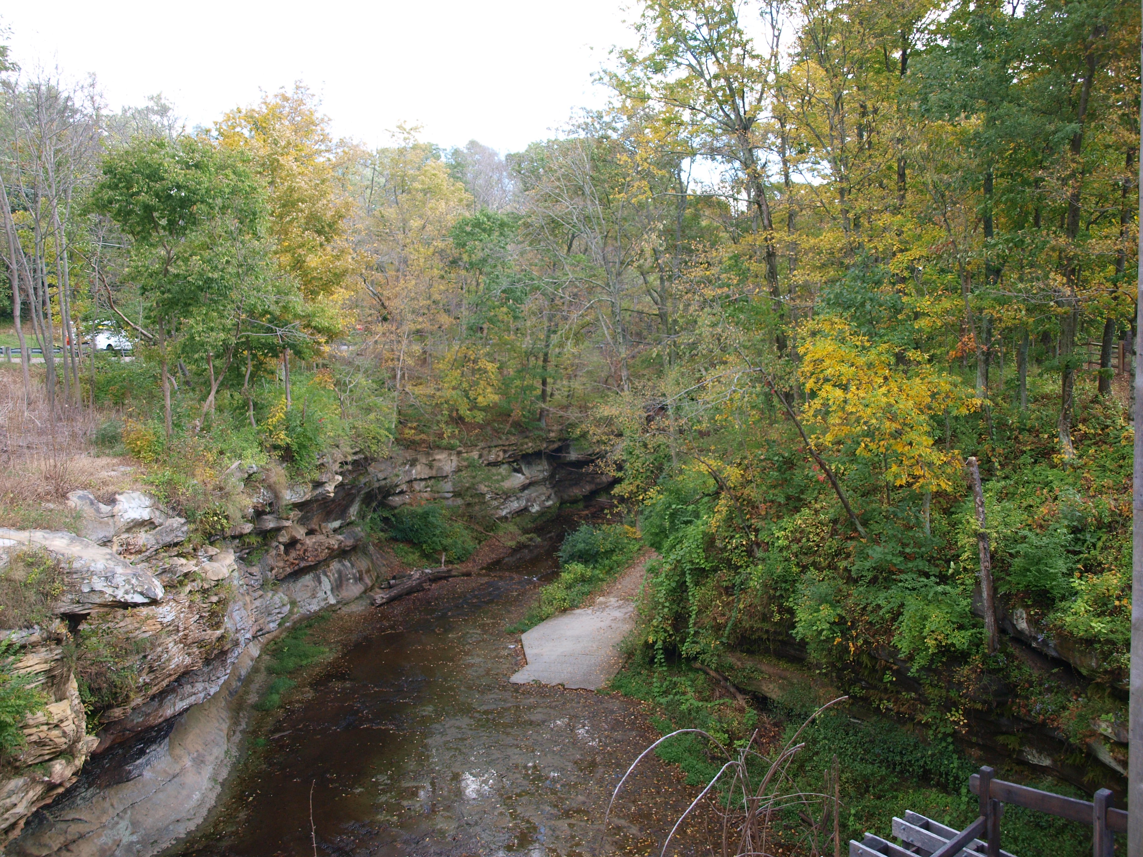
Rock Mill, gorge view, Fairfield County, Ohio

The Venture

The Bungalow
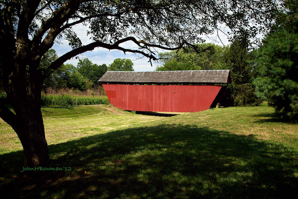
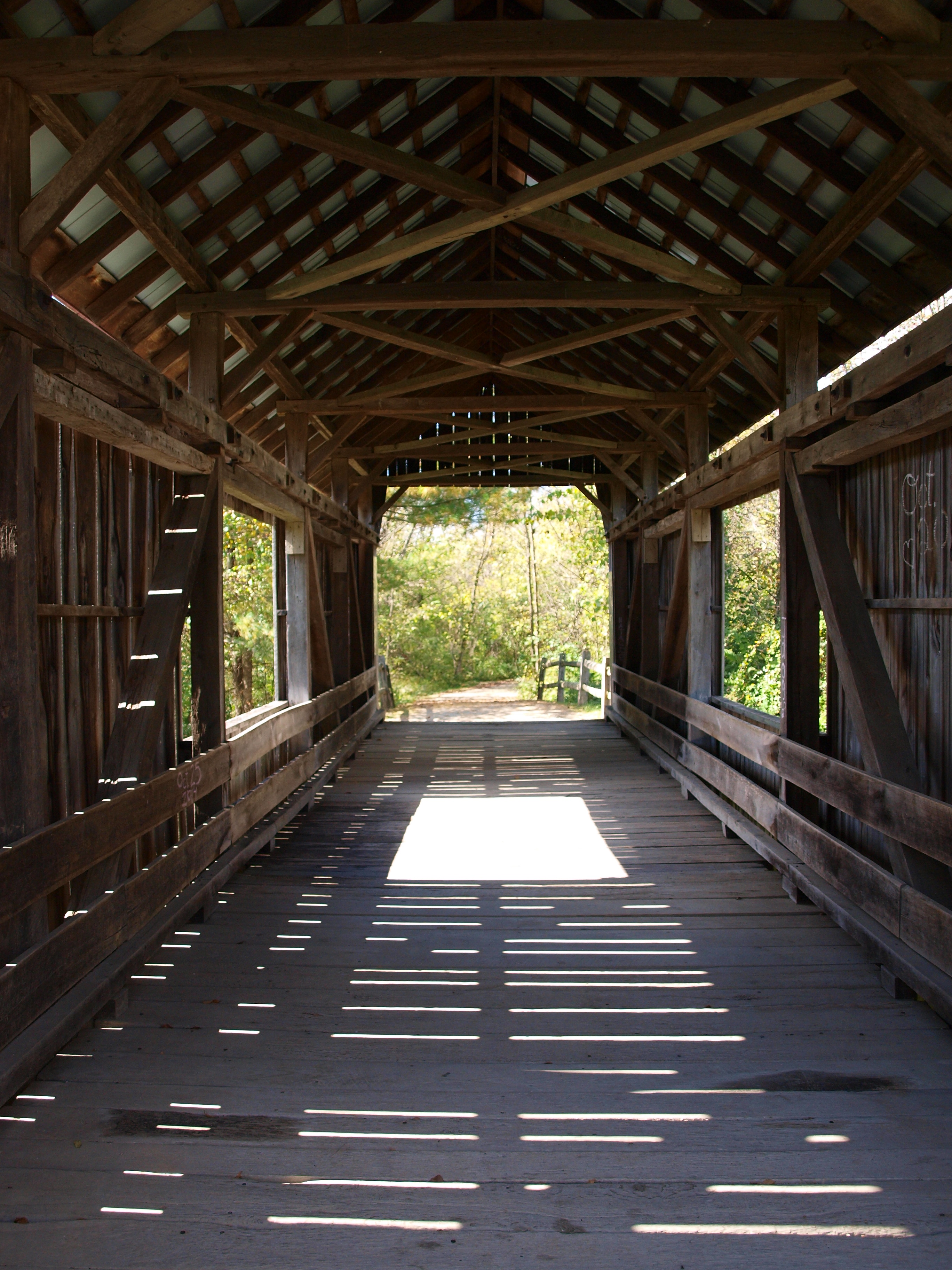
Hartman Bridge No. 2
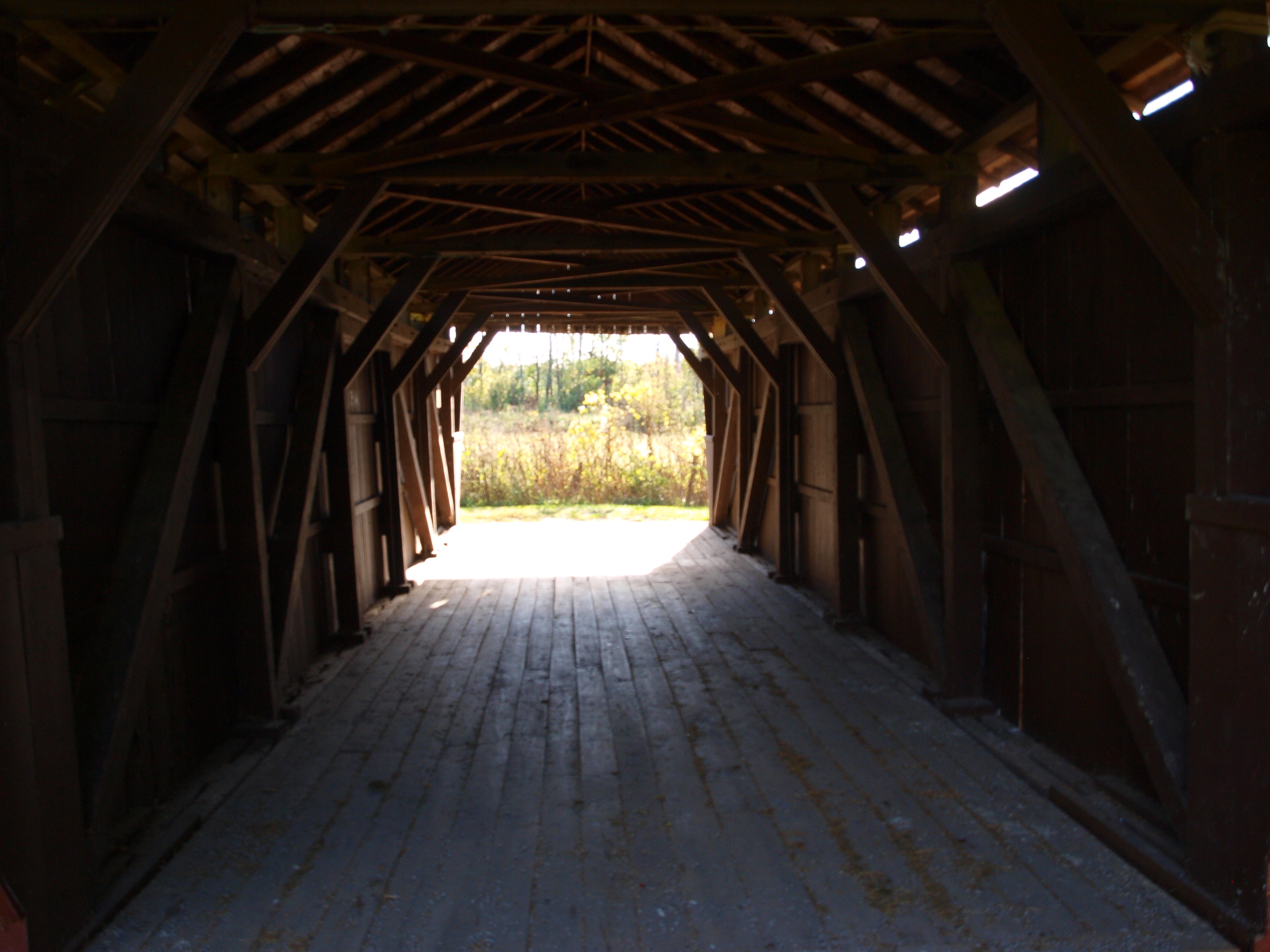
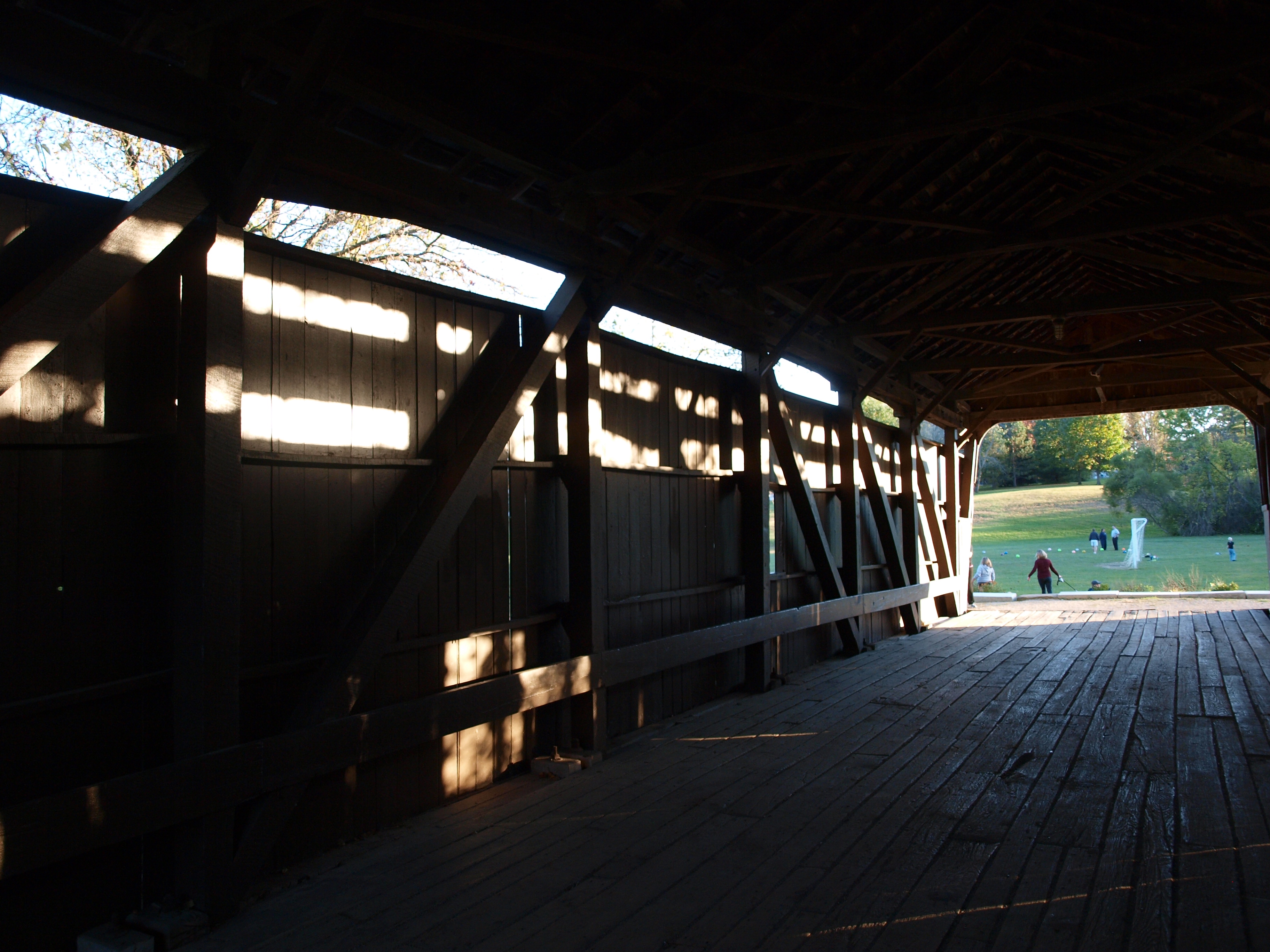
Hartman #2 Covered Bridge, barrel view, Fairfield County, Ohio
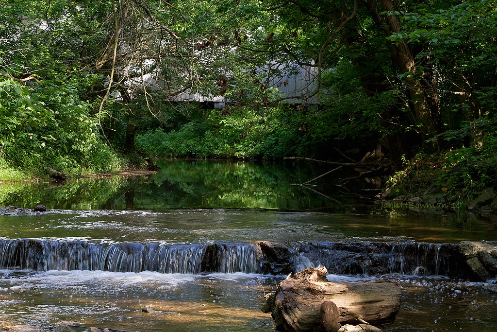
Sycamore Creek & Zeller-Smith Covered Bridge
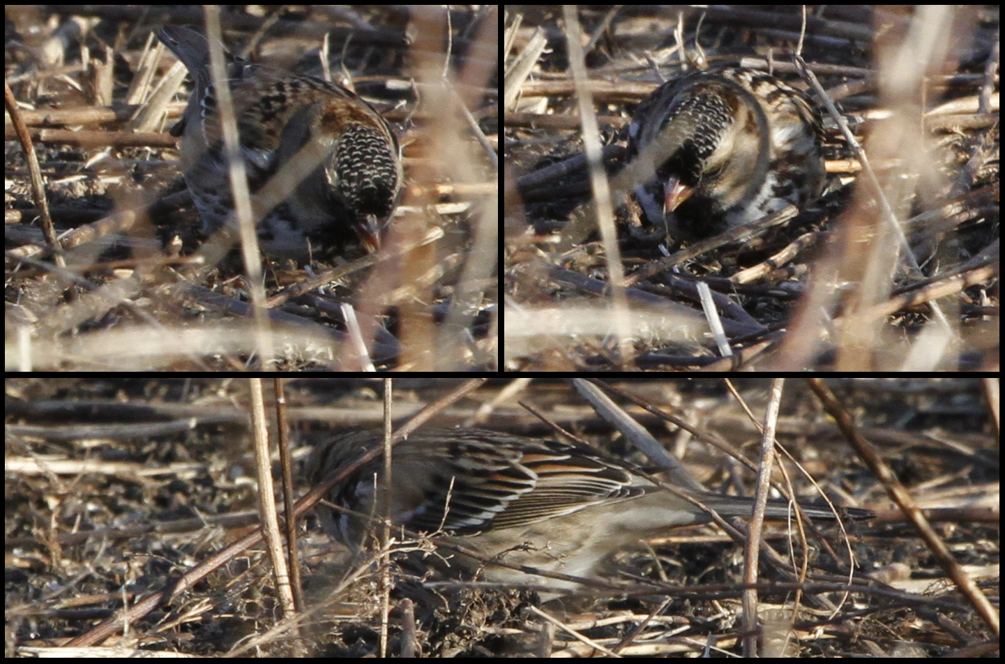
Harris's Sparrow
Rock Mill & Rock Mill Bridge - Fairfield County, Ohio

Renick House - South Bloomfield, OH

Stop in Amanda Township Cemetery
Blackburn Covered Bridge, barrel view, Pickaway County, Ohio
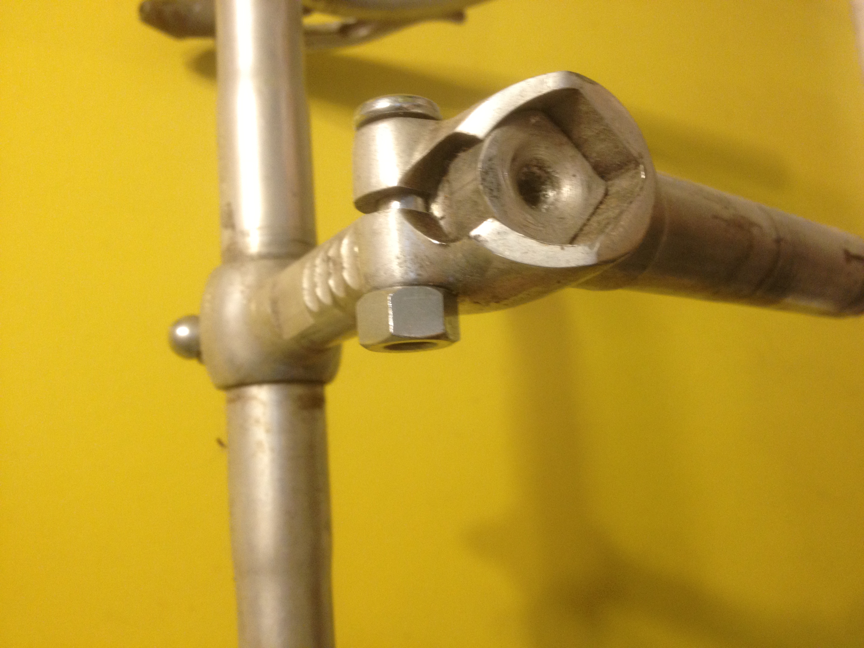
Ambrosio adjustable stem
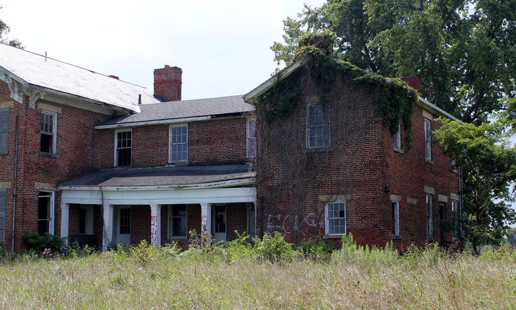
Rear of the Renick House

Northern Shrike
Northern Shrike

Barn Owl
Zeller-Smith Covered Bridge, truss view, Fairfield County, Ohio
Rockmill Sky

Fall at A.W. Marion Park
Reigle Rd barn with stripes
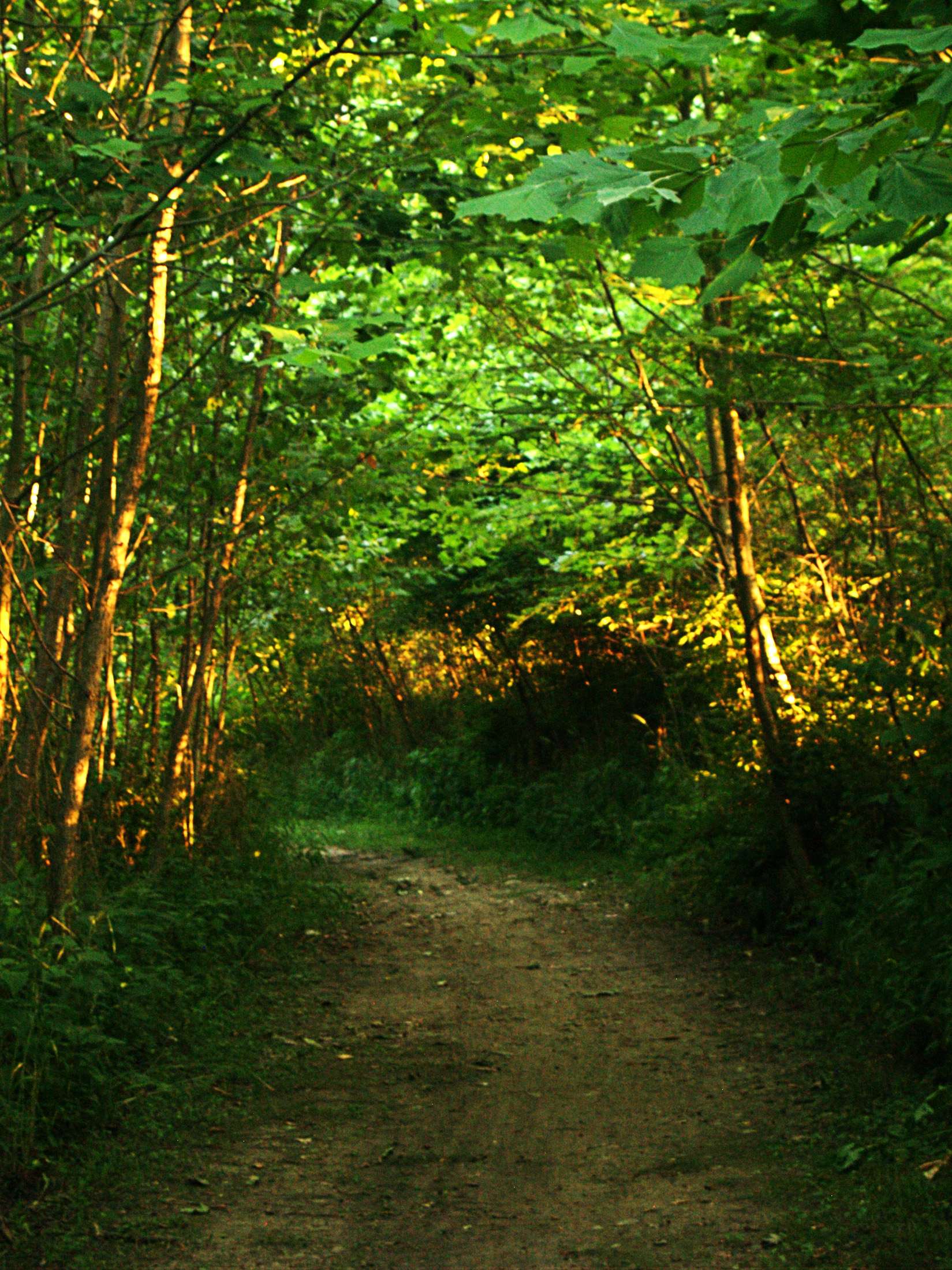
Forest Path

Watercolor Fishing

The Meadow
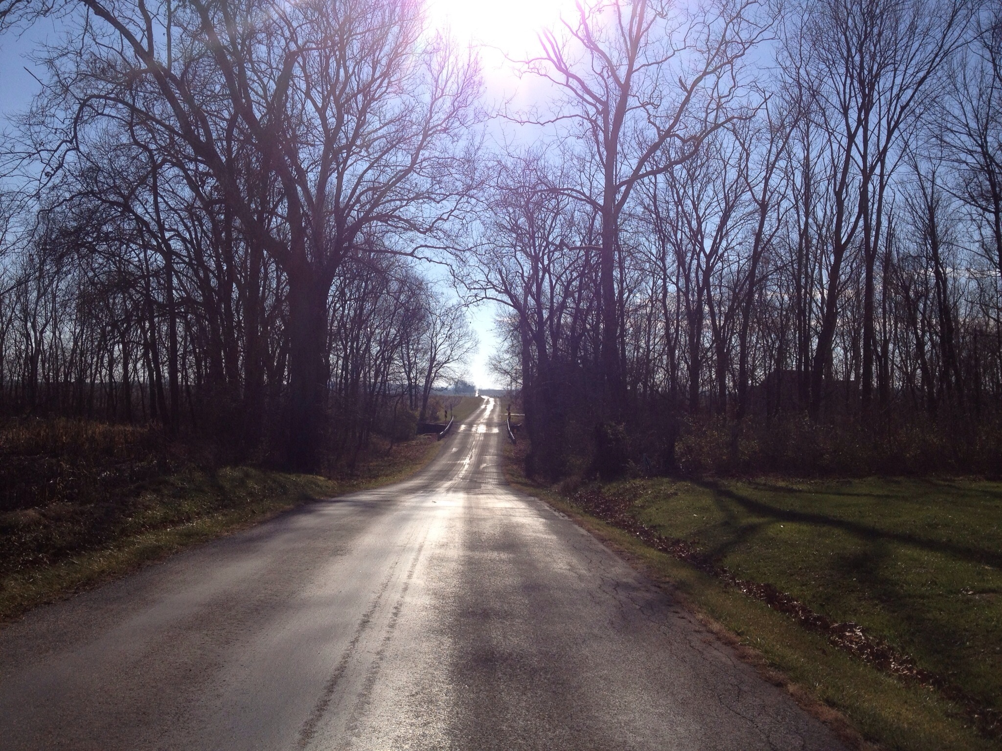
Riding into the sun on Cedar Hill Rd.
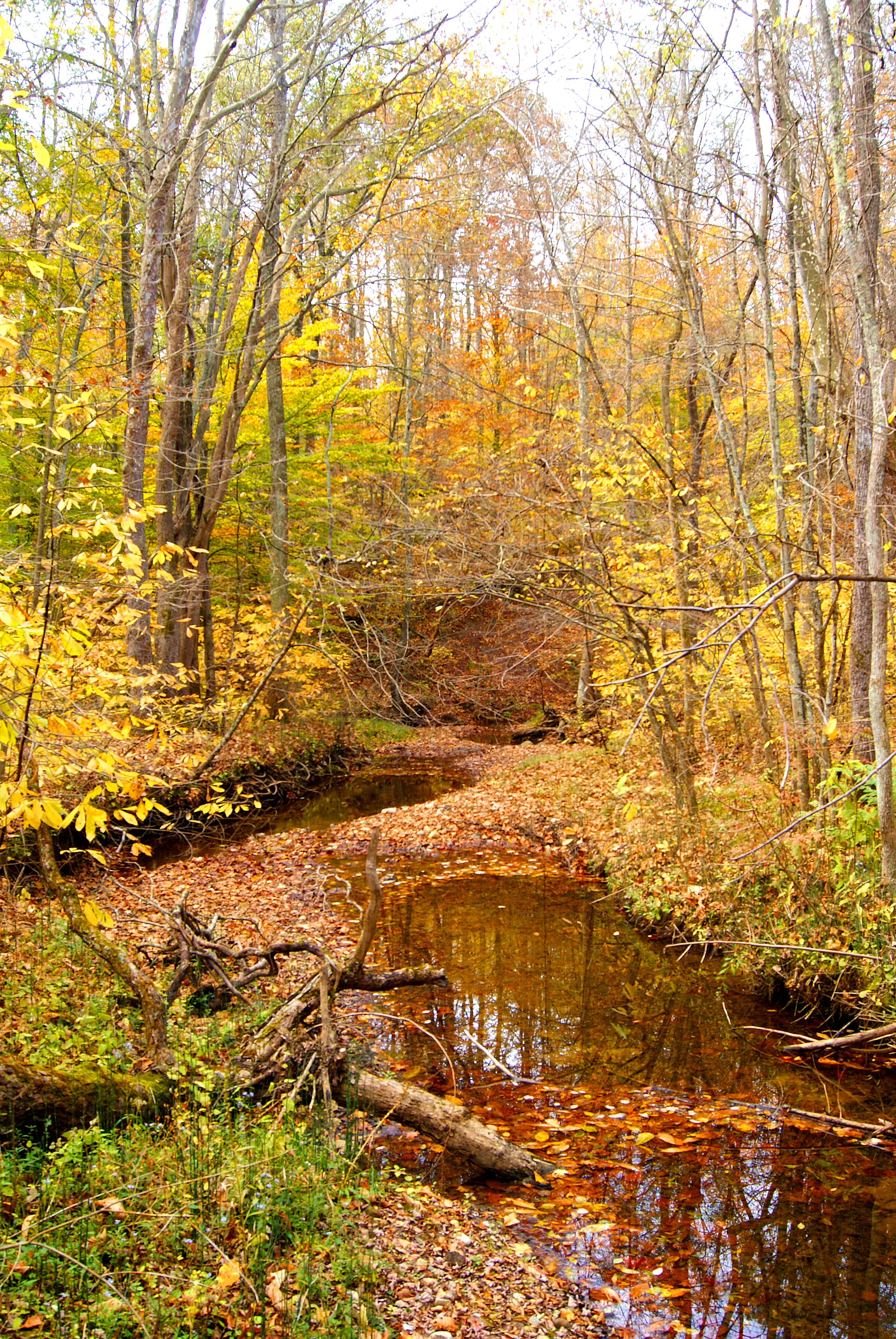
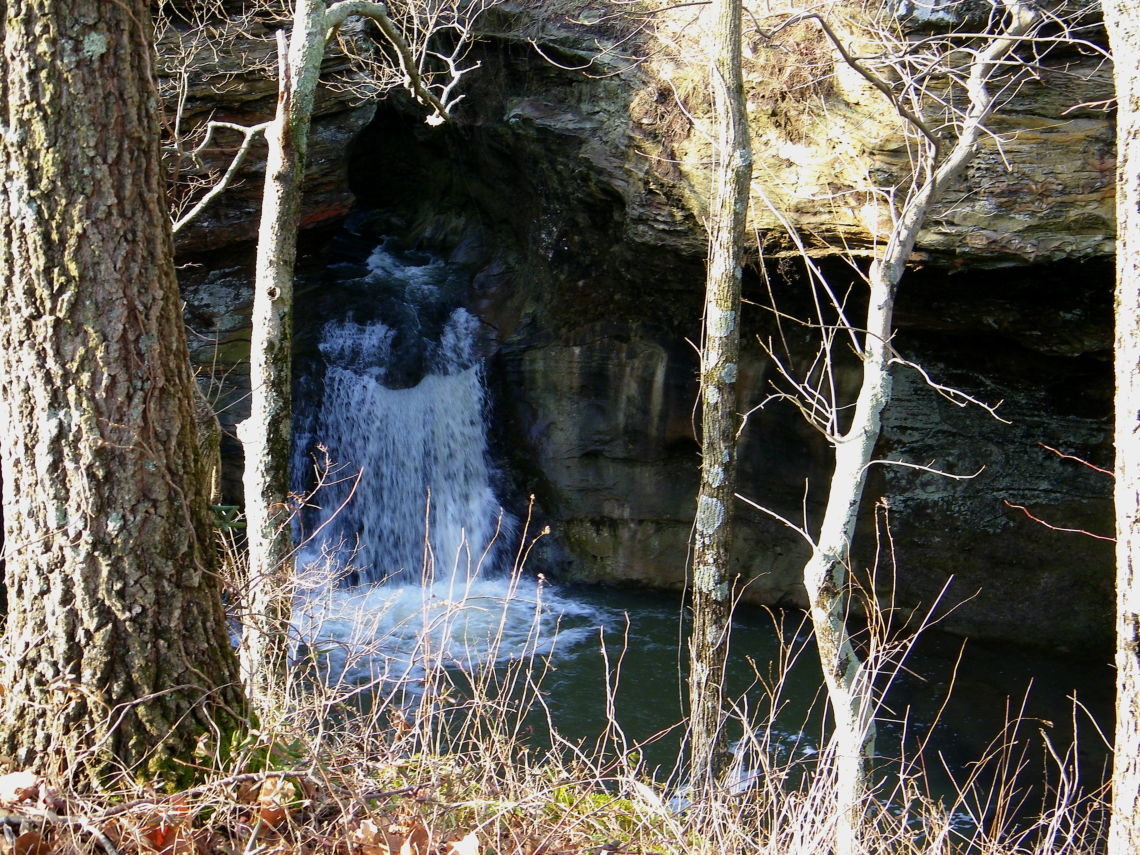
autumn stream
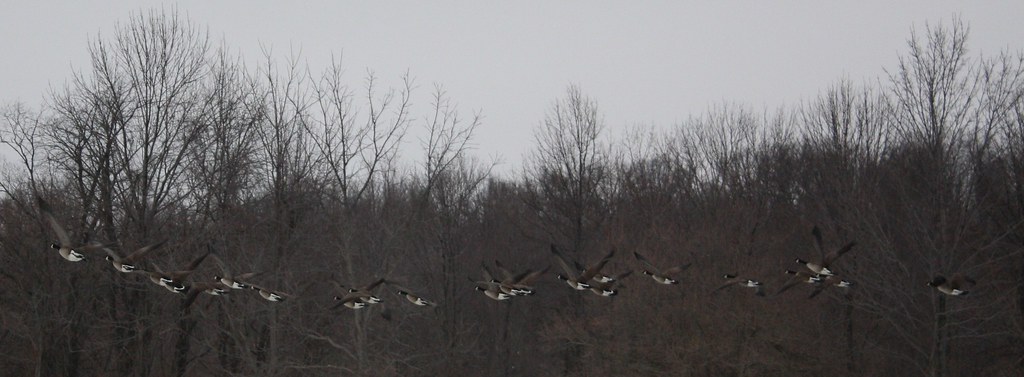
Ducks in Flight

meandering path

IMG_0158 B&W
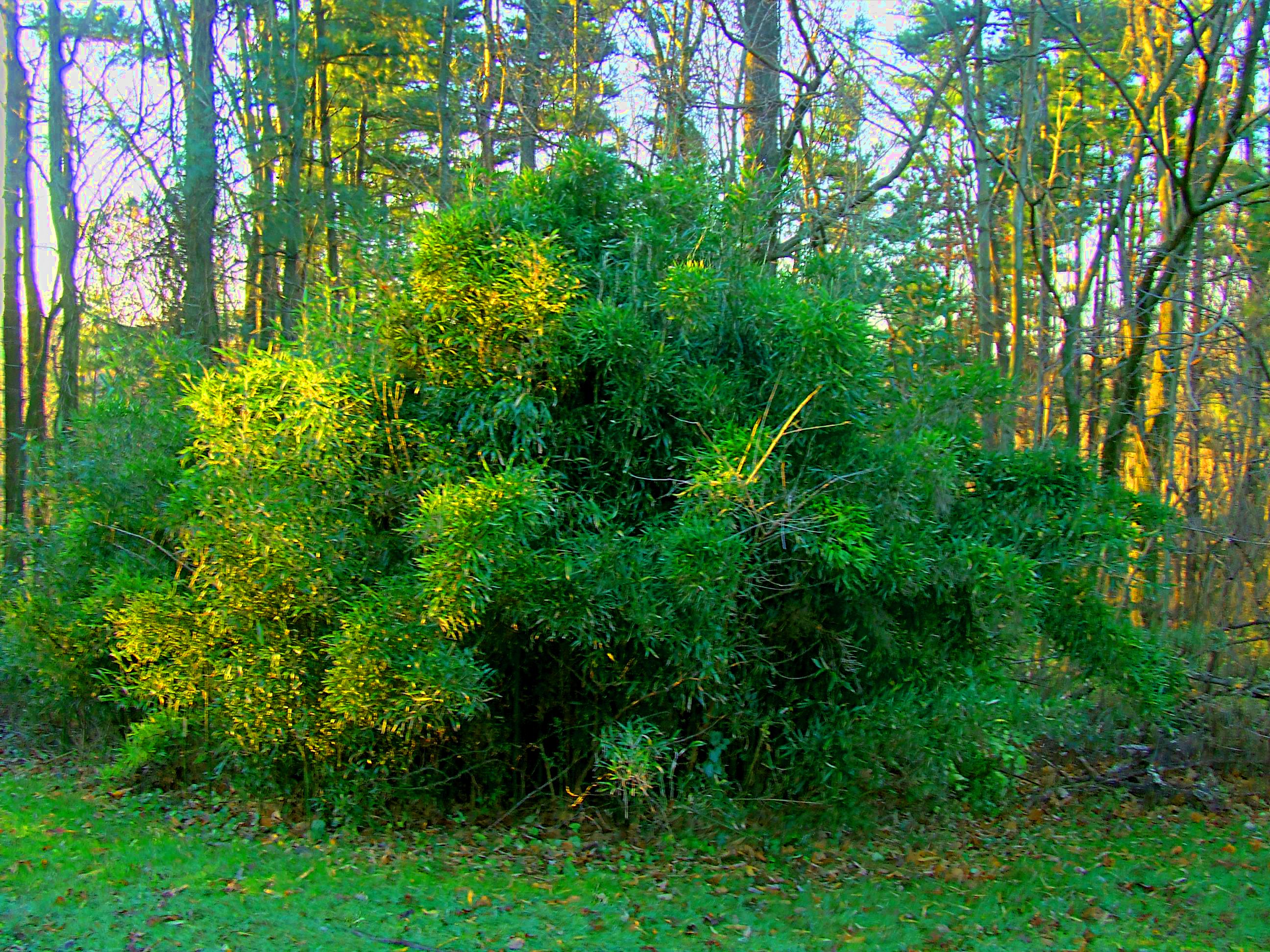
plant HDR
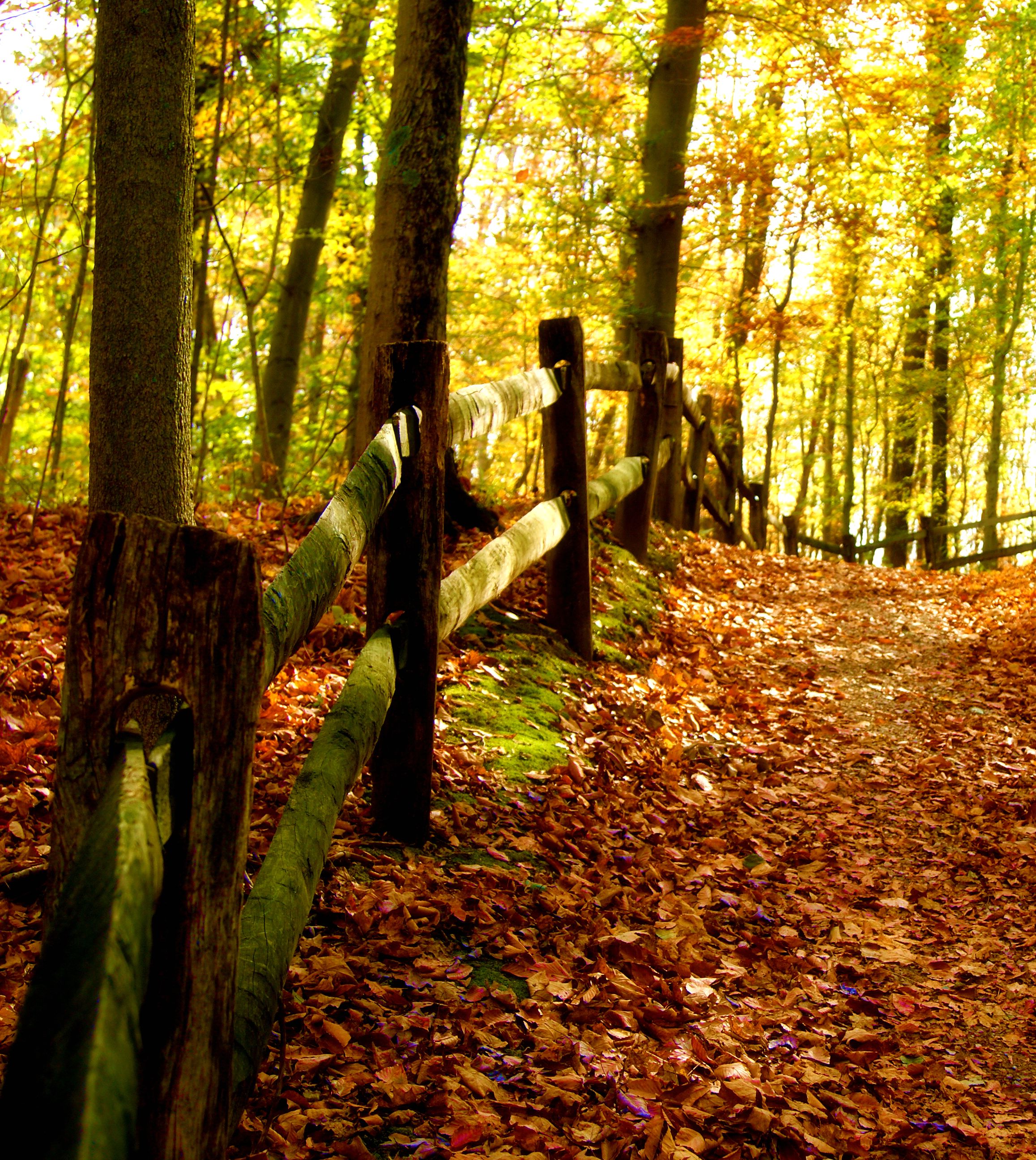
uphill fence

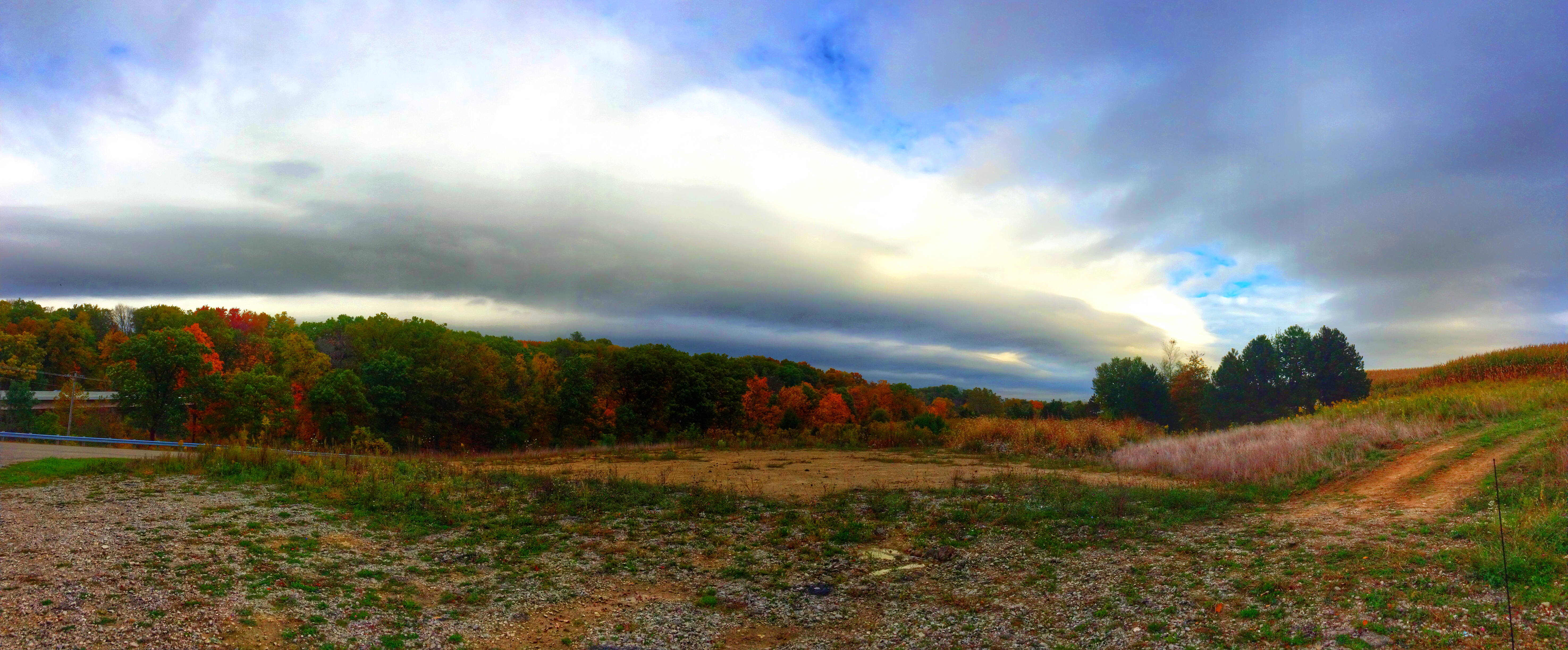
storm clouds rolling in
project 2 shot #3

lonely tree autumn

Some nasty looking weather south of #Columbus
Slate Run Park 2-26-2011 010

lonely old tree

Winter Rd. in Summer
Topographic Map of Cedar Hill Rd NW, Canal Winchester, OH, USA
Find elevation by address:

Places near Cedar Hill Rd NW, Canal Winchester, OH, USA:
755 Cedar Hill Rd Nw
1372 Winchester Southern Rd
Marcy Rd, Ashville, OH, USA
El Pedregal Mexican Restaurant
3395 Amanda Northern Rd Nw
Bloom Township
11205 Goodman Rd
North Trine Street
Winchester Park
72 Park St, Canal Winchester, OH, USA
Canal Winchester
232 N Trine St
North Winchester
1037 Groveport Rd
High St NW, Carroll, OH, USA
Pickerington Rd, Carroll, OH, USA
Madison Township
5295 Township Hwy 20
8272 Woodstream Dr
Bennington Avenue Northwest
Recent Searches:
- Elevation of Corso Fratelli Cairoli, 35, Macerata MC, Italy
- Elevation of Tallevast Rd, Sarasota, FL, USA
- Elevation of 4th St E, Sonoma, CA, USA
- Elevation of Black Hollow Rd, Pennsdale, PA, USA
- Elevation of Oakland Ave, Williamsport, PA, USA
- Elevation of Pedrógão Grande, Portugal
- Elevation of Klee Dr, Martinsburg, WV, USA
- Elevation of Via Roma, Pieranica CR, Italy
- Elevation of Tavkvetili Mountain, Georgia
- Elevation of Hartfords Bluff Cir, Mt Pleasant, SC, USA