Elevation of Tiger Lily Ln, Imperial, CA, USA
Location: United States > California > Imperial County > Imperial >

Longitude: -115.58968

Latitude: 32.8236376

Elevation: -14m / -46feet

Barometric Pressure: 101KPa

Elevation Map:

elevation map of Tiger Lily Ln, Imperial, CA, USA
Satellite Map:

Satellite map of Tiger Lily Ln, Imperial, CA, USA
Related Photos:

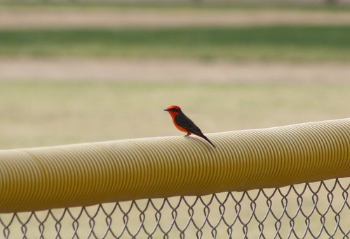
sunbeamlakecountypark imperialcounty ca california vermilionflycatcher pyrocephalusrubinus
Vermilion Flycatcher (Pyrocephalus rubinus)
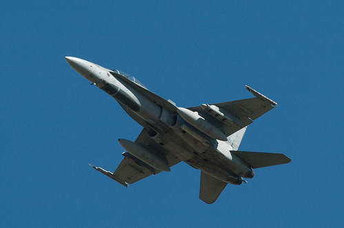
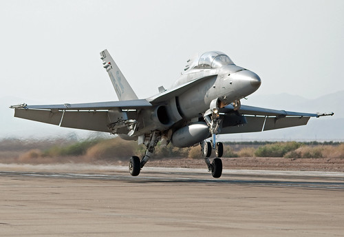
nikon atp sniper hornet nikkor f18 d2h 2010 tc17eii 300mmf28dii cf188 cf188b nafelcentro anaaq33 advancedtargetingpod
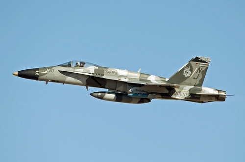
410 Squadron Hornet
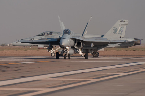
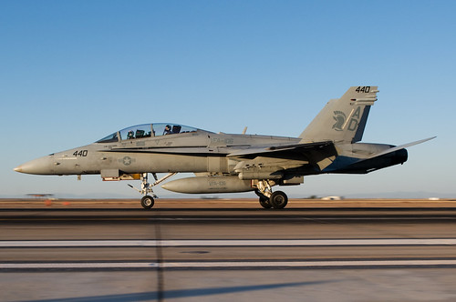
aperture nikon chewy ad navy hornet nikkor f18 usnavy f71 2009 usn gladiators alr d90 vfa106 f18c 70300mmf4556gvr nafelcentro navalairfacilityelcentro 164948 buno164948
VFA - 106 Gladiators
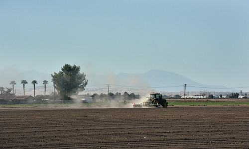
A Low Kind of Feeling
california brown texture imperial aerialphotograph imperialcounty
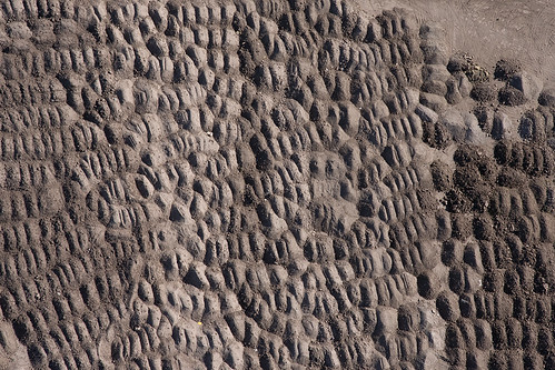
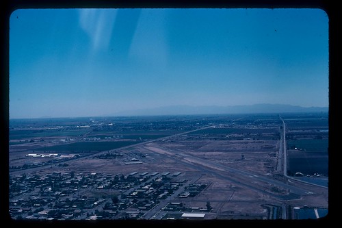
Aerial view of ____? This is a quiz
california silly sign bug insect signage pest termite exterminator elcentro pestcontrol termitecontrol ontopofbuilding elcentsd
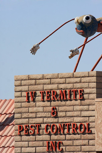
IV Termite and Pest Control
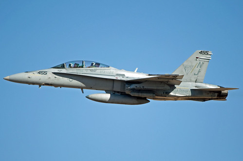
mcdonnell douglas f/a-18a hornet
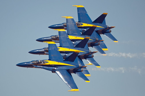
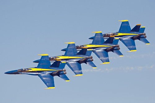
blue angels
mcdonnell douglas f/a-18d hornet
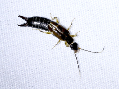
African Earwig (Euborellia cincticollis), New River Wetlands, Imperial County, CA, 7-29-17
blue angels
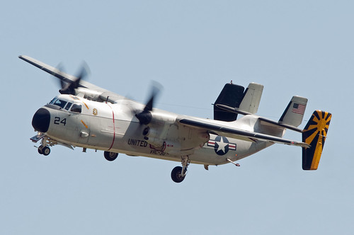
grumman c-2 greyhound
mcdonnell douglas f/a-18d hornet
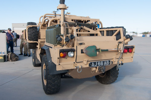
nikon jackal tokina airshow alr d90 2013 royalarmy nafelcentro atx116prodx
Jackal rear view
mcdonnell douglas f/a-18d hornet
aperture nikon nikkor vikings usnavy prowler 2010 grumman alr ea6b d90 vaq129 3570mmf28d nafelcentro
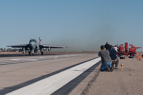
ringside seat at Prowler take off
boeing f/a-18e super hornet
mcdonnell douglas f/a-18c hornet
boeing f/a-18e super hornet
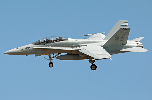
aperture nikon nikkor usnavy 2010 gladiators superhornet alr d90 vfa106 f18f 3570mmf28d nafelcentro
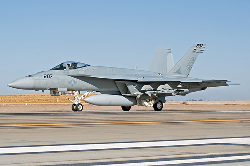
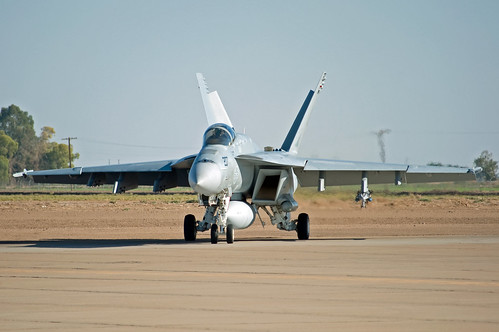
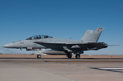
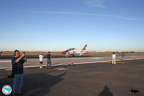
F-18F Super Hornet at El Centro
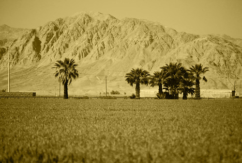
california mountains hot desert southerncalifornia mohave
Desert Oasis
Dave & Primo's Mexican Adventure (02-23-2012)-133
Aerial Photos SD - EC 1976
mexico flying baja puntachivato
IMG_1942.jpg
eagles gladiators vfa106 vt7 nafelcentro navalairfaciltyelcentro
ApSoCal and AzAP members at NAF El Centro 11-17-11
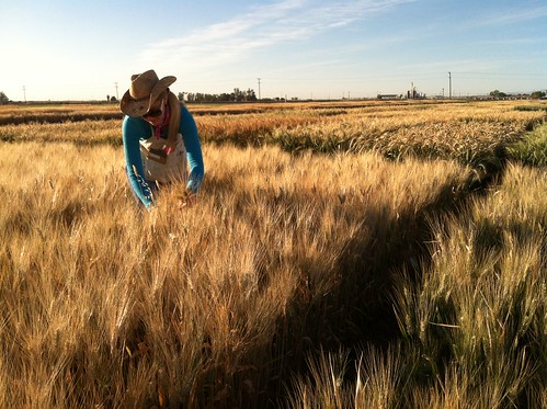
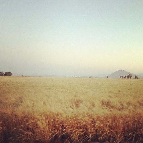
wheat universityofcaliforniadavis nifa sciencetuesday nifaimpacts
Brittany Hazard, a University of California-Davis doctoral student collecting samples from a wheat field
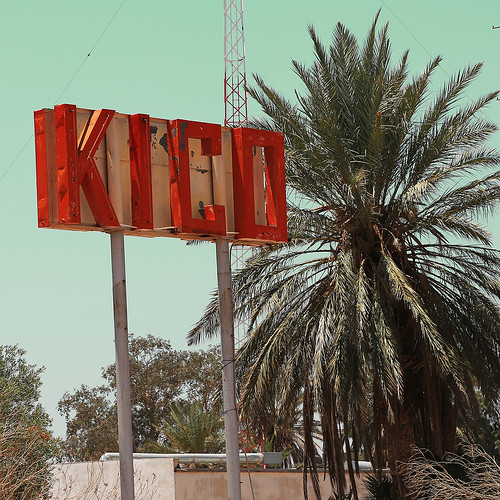
travel sky usa landscape town signage vintagesign retrosign vintagedesign signporn retromotel vitageneon instagood instabest allshot instalovers signgeeks
Kiko, Calexico, CA
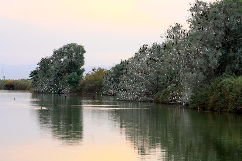
cattleegret bubulcusibis doublecrestedcormorant phalacrocoraxauritus roost tree ca california imperialcounty subeamlake countypark
Cattle Egret roosts
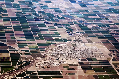
zeesstof flight commercialflight commercialairline united unitedairlines sandiegotohouston california brawley
Brawley, CA
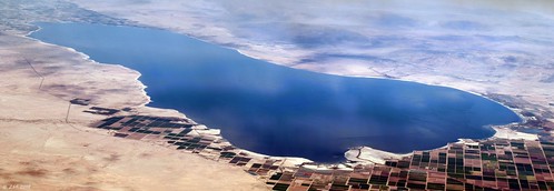
zeesstof flight commercialflight commercialairline united unitedairlines sandiegotohouston california saltonsea saltonseapanorama 2mergedimages
Salton Sea
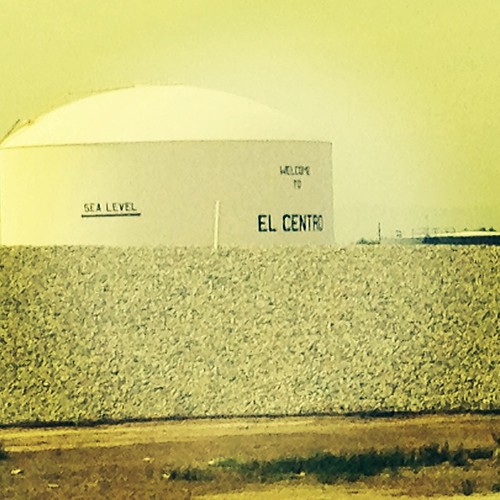
square lofi squareformat iphoneography instagramapp uploaded:by=instagram foursquare:venue=4b803e31f964a5202b6030e3
We're 31 feet below sea level.
cerro valley imperial centinela imperialvalley cerrodelcentinela
cerro del centinela
square squareformat rise iphoneography instagramapp uploaded:by=instagram foursquare:venue=4d09483200e6b1f7fee911d7
Mt. Signal
california mexico mt centro el mount southern valley imperial fields agriculture signal imperialvalley
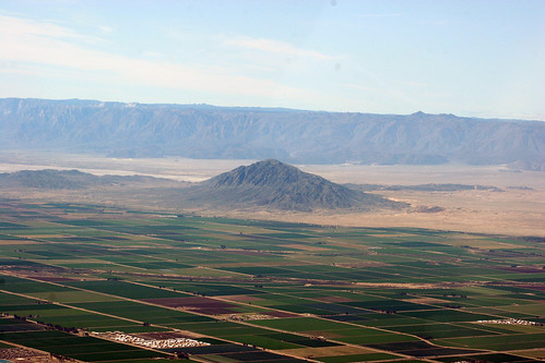
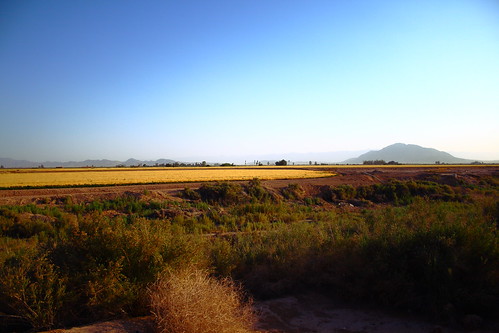
Imperial Valley
winter with Ramos' 40
Camping at Dos Cabezas Siding in Anza-Borrego Desert State Park.
california usa nature birds unitedstates elcentro 2011
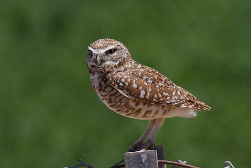
Western Burrowing Owl, Athene cunicularia hypugaea
usa kalifornien elcentro
DSC02514.jpg
instagramapp square squareformat iphoneography uploaded:by=instagram
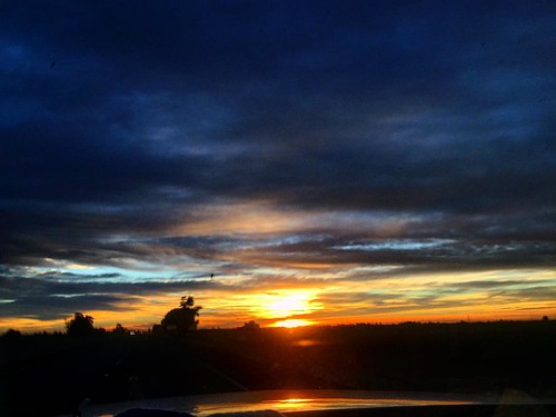
#superfiltered this morning's commute.