Elevation of S Waterman Ave, El Centro, CA, USA
Location: United States > California > Imperial County > El Centro >

Longitude: -115.57470

Latitude: 32.7788932

Elevation: -10m / -33feet

Barometric Pressure: 101KPa

Elevation Map:

elevation map of S Waterman Ave, El Centro, CA, USA

Satellite Map:

Satellite map of S Waterman Ave, El Centro, CA, USA

Related Photos:

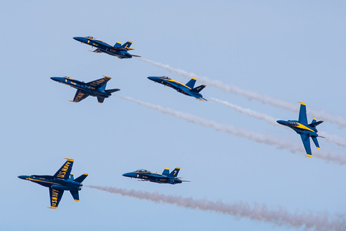
blue angels
d750 f18 blueangels 2020 alr f18d f18c 200500mmf56e nikon aircraft hornet nikkor usnavy airfield njk nafelcentro knjk
Blue Angel breakout
blue angels
grumman c-2 greyhound
mcdonnell douglas f/a-18c hornet
mcdonnell douglas f/a-18a hornet
blue angels
grumman c-2 greyhound
mcdonnell douglas f/a-18d hornet
boeing f/a-18e super hornet
mcdonnell douglas f/a-18d hornet
boeing f/a-18e super hornet
agustawestland merlin hc3
mcdonnell douglas f/a-18d hornet
mcdonnell douglas f/a-18c hornet
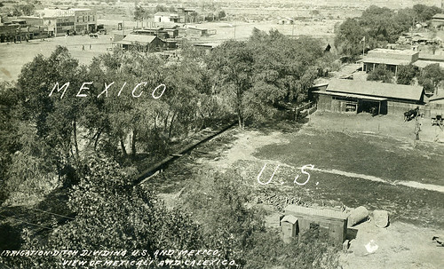
How Green Was My Valley?
california mexico calexico mexicali ditch irrigation border realphotopostcardrppc horses pullmanpalacehotel
[CALIFORNIA-X-0001] U.S.-Mexico border
california brown texture imperial aerialphotograph imperialcounty
Aerial view of ____? This is a quiz
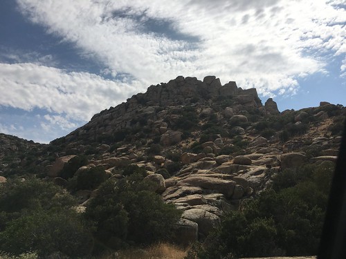
dark bright shine sun sunshine scenic landscape wilderness hike usa arizona antelope valley rocks colors beautiful adventure explore lightbeam light outdoor red blue sky canyon
Lost In Winding Rocks
california blue us nikon navy angels hornet f18 douglas blueangels usnavy naf mcdonnell fa18 mcdonnelldouglas elcentro njk nafelcentro knjk d7000
blue angels
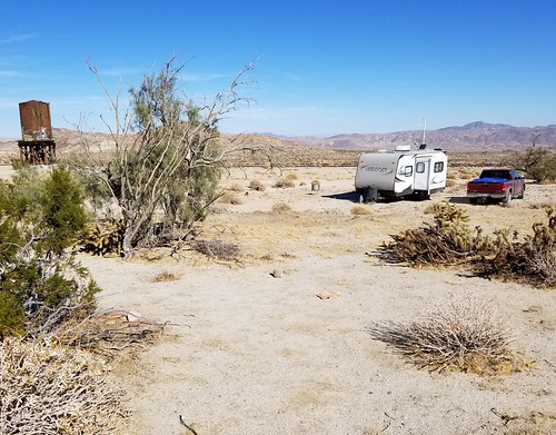
Camping at Dos Cabezas Siding in Anza-Borrego Desert State Park.
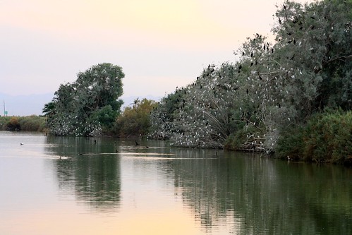
cattleegret bubulcusibis doublecrestedcormorant phalacrocoraxauritus roost tree ca california imperialcounty subeamlake countypark
Cattle Egret roosts
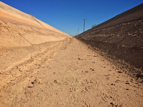
canal dry irrigation calexico calexicoca usmexicoborder
irrigating the desert
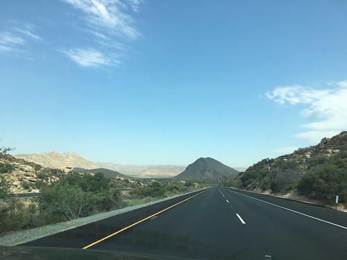
the grand tour july 2017 day 8 drive mexican border town calexico california mexico patrol usa road trip
Day 8: Drive to the Mexican Border town, Calexico
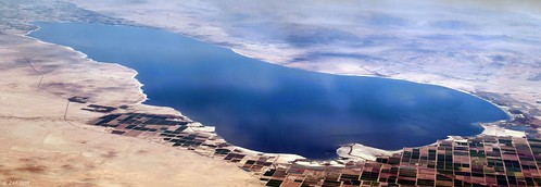
zeesstof flight commercialflight commercialairline united unitedairlines sandiegotohouston california saltonsea saltonseapanorama 2mergedimages
Salton Sea
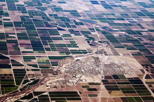
zeesstof flight commercialflight commercialairline united unitedairlines sandiegotohouston california brawley
Brawley, CA
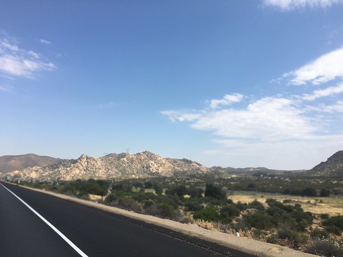
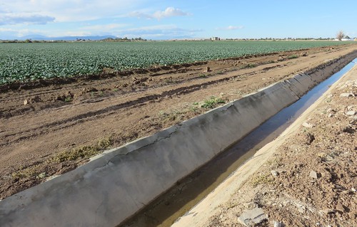
california ca landscapes imperialcounty lettuce imperialvalley northamerica unitedstates us
Imperial Valley Lettuce Field and Canal (Imperial County, California)
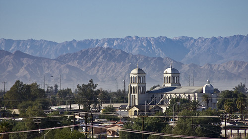
california mountains church angel canon mexico san iglesia zaragoza baja antonio montaña tamron cerros templo mexicali 55200mm t2i macuache
Templo de San Antonio
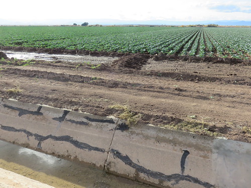
california ca landscapes imperialcounty lettuce imperialvalley northamerica unitedstates us
Imperial Valley Lettuce Field and Canal (Imperial County, California)
california ca landscapes imperialcounty imperialvalley northamerica unitedstates us alfalfa
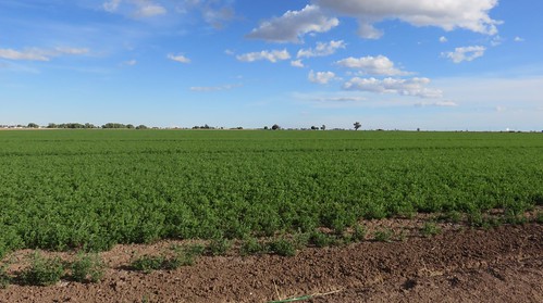
Imperial Valley Alfalfa Field (Imperial County, California)
travel sky usa landscape town signage vintagesign retrosign vintagedesign signporn retromotel vitageneon instagood instabest allshot instalovers signgeeks
Kiko, Calexico, CA
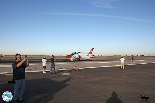
eagles gladiators vfa106 vt7 nafelcentro navalairfaciltyelcentro
ApSoCal and AzAP members at NAF El Centro 11-17-11
Aerial Photos SD - EC 1976
Imperial County
cerro valley imperial centinela imperialvalley cerrodelcentinela
cerro del centinela
the grand tour july 2017 day 8 drive mexican border town calexico california mexico patrol usa road trip
Day 8: Drive to the Mexican Border town, Calexico
the grand tour july 2017 day 8 drive mexican border town calexico california mexico patrol usa road trip
Day 8: Drive to the Mexican Border town, Calexico
the grand tour july 2017 day 8 drive mexican border town calexico california mexico patrol usa road trip
Day 8: Drive to the Mexican Border town, Calexico
the grand tour july 2017 day 8 drive mexican border town calexico california mexico patrol usa road trip
Day 8: Drive to the Mexican Border town, Calexico