Elevation of Ocotillo Drive, Ocotillo Dr, El Centro, CA, USA
Location: United States > California > Imperial County > El Centro >
Longitude: -115.57283
Latitude: 32.7773737
Elevation: -10m / -33feet
Barometric Pressure: 101KPa
Elevation Map:
Satellite Map:
Related Photos:

Vermilion Flycatcher (Pyrocephalus rubinus)

blue angels

blue angels

410 Squadron Hornet

blue angels

VFA - 106 Gladiators

grumman c-2 greyhound

mcdonnell douglas f/a-18d hornet

mcdonnell douglas f/a-18a hornet

VFA - 125 bomber take off

mcdonnell douglas f/a-18d hornet

mcdonnell douglas f/a-18d hornet

Carnegie Library- Calexico CA

Cattle Egret roost

Cattle Egret roosts

Termite (Sign on Building)

IV Termite and Pest Control
View from the Brewery mexicali (Cervecería de Mexicali) [ChalonTrece]

grumman c-2 greyhound

mcdonnell douglas f/a-18d hornet

Jackal rear view

blue angels
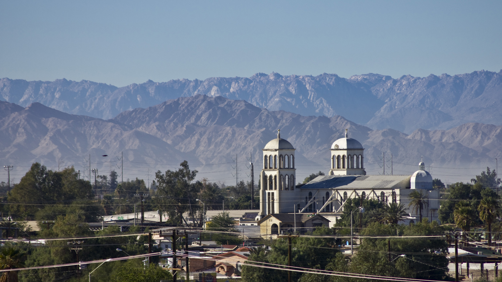
Templo de San Antonio

Mexicali, Mexico

Otra para la colección de las canchas del mundo.

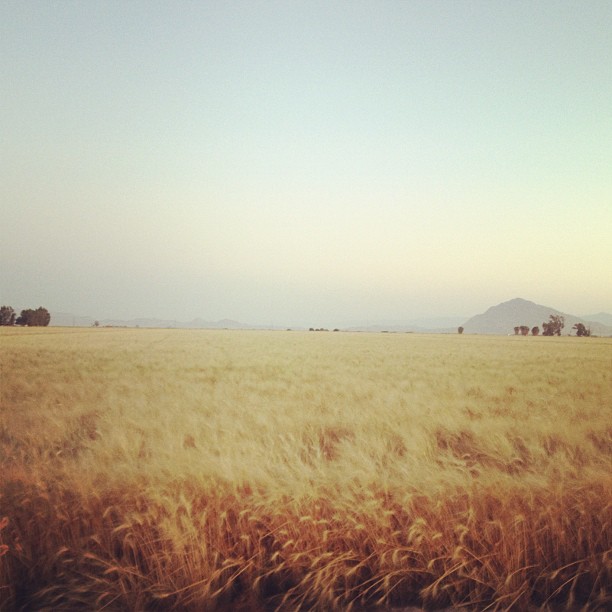
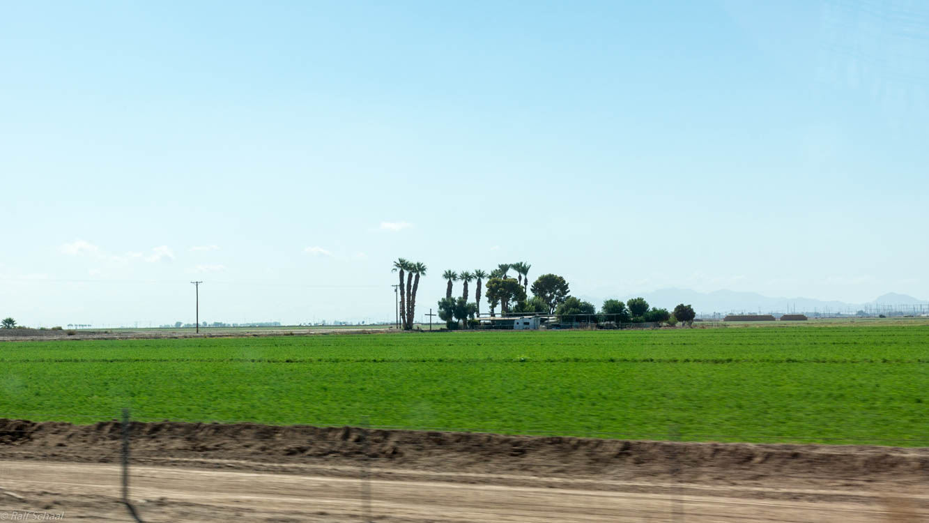
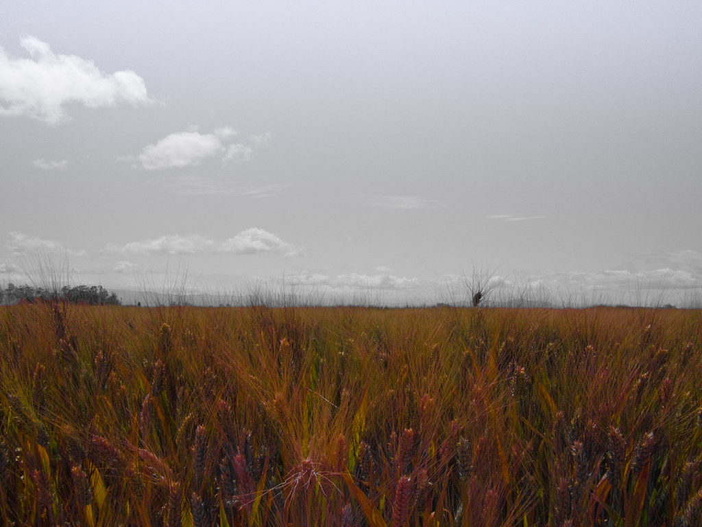
Brittany Hazard, a University of California-Davis doctoral student collecting samples from a wheat field

Kiko, Calexico, CA

Dave & Primo's Mexican Adventure (02-23-2012)-140
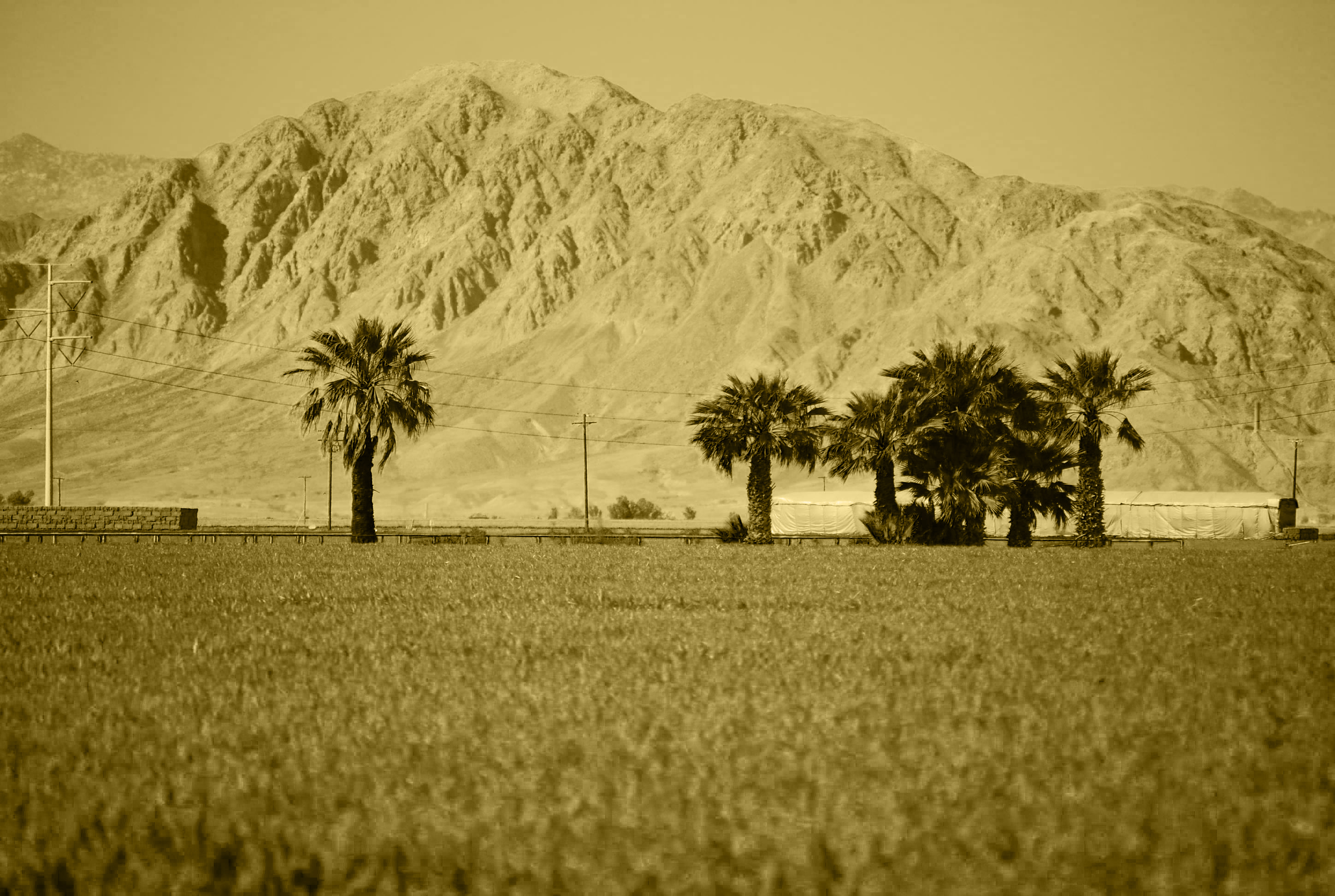
Mt. Signal
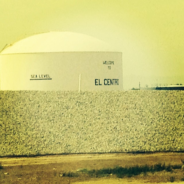
We're 31 feet below sea level.
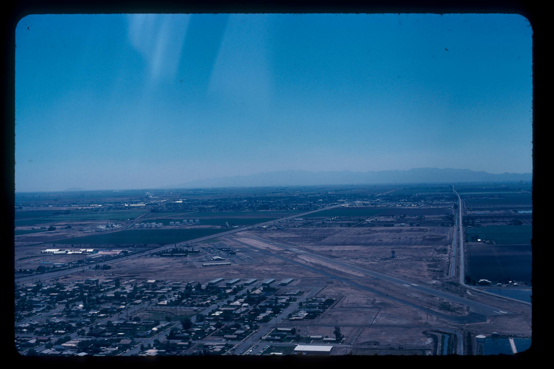
Aerial Photos SD - EC 1976

Dave & Primo's Mexican Adventure (02-23-2012)-135
IMG_2360.jpg
cerro del centinela

Western Burrowing Owl, Athene cunicularia hypugaea
DSC02512.jpg
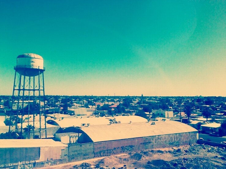
Imperial County
DSC02519.jpg
Imperial Valley

ApSoCal and AzAP members at NAF El Centro 11-17-11
Topographic Map of Ocotillo Drive, Ocotillo Dr, El Centro, CA, USA
Find elevation by address:

Places near Ocotillo Drive, Ocotillo Dr, El Centro, CA, USA:
1530 S Waterman Ave
984 Ocotillo Dr
333 S Waterman Ave
1855 Main St
2626 Thomas Dr
1507 W Barbara Worth Dr
El Centro
1498 Adams Ave
1855 Lincoln Ave
1850 Lincoln Ave
2030 N Imperial Ave
2300 Myrtle Rd
625 Tiger Lily Ln
1764 Citrus Ln
Heber
Imperial
Imperial Valley College
Holtville
Holt Rd, Holtville, CA, USA
Recent Searches:
- Elevation of Corso Fratelli Cairoli, 35, Macerata MC, Italy
- Elevation of Tallevast Rd, Sarasota, FL, USA
- Elevation of 4th St E, Sonoma, CA, USA
- Elevation of Black Hollow Rd, Pennsdale, PA, USA
- Elevation of Oakland Ave, Williamsport, PA, USA
- Elevation of Pedrógão Grande, Portugal
- Elevation of Klee Dr, Martinsburg, WV, USA
- Elevation of Via Roma, Pieranica CR, Italy
- Elevation of Tavkvetili Mountain, Georgia
- Elevation of Hartfords Bluff Cir, Mt Pleasant, SC, USA