Elevation of Thimble Rock Point, Colorado, USA
Location: United States > Colorado > Whitewater >
Longitude: -108.72055
Latitude: 38.7608333
Elevation: 2631m / 8632feet
Barometric Pressure: 73KPa
Elevation Map:
Satellite Map:
Related Photos:
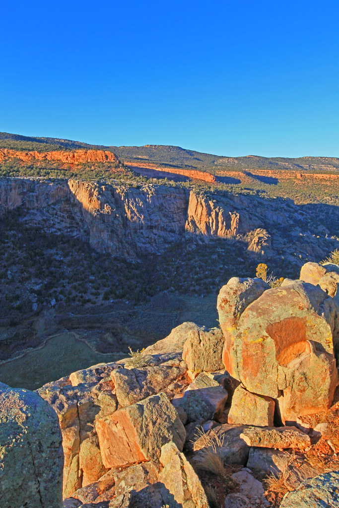
Favorite Spot to Sit and Watch the World Go By
Topographic Map of Thimble Rock Point, Colorado, USA
Find elevation by address:

Places near Thimble Rock Point, Colorado, USA:
CO-, Whitewater, CO, USA
275 16 1/10 Rd
Divide Forks Campground
Piñon Mesa Hp
17700 Co-141
Snipe Mountain
Masters Ranch Drive
Uncompahgre Butte
19771 Miller Canyon Ranch Rd
S 9 8/10 Rd, Glade Park, CO, USA
43000 Co-141
Miller Canyon
Mesa County
Rough Canyon Road
S 21 1/2 Rd, Glade Park, CO, USA
Glade Park
12500 B South Rd
180 Rock Ridge Ln
CO-, Gateway, CO, USA
15801 Pinyon Park Ln
Recent Searches:
- Elevation of Corso Fratelli Cairoli, 35, Macerata MC, Italy
- Elevation of Tallevast Rd, Sarasota, FL, USA
- Elevation of 4th St E, Sonoma, CA, USA
- Elevation of Black Hollow Rd, Pennsdale, PA, USA
- Elevation of Oakland Ave, Williamsport, PA, USA
- Elevation of Pedrógão Grande, Portugal
- Elevation of Klee Dr, Martinsburg, WV, USA
- Elevation of Via Roma, Pieranica CR, Italy
- Elevation of Tavkvetili Mountain, Georgia
- Elevation of Hartfords Bluff Cir, Mt Pleasant, SC, USA