Elevation of CO-, Gateway, CO, USA
Location: United States > Colorado > Mesa County > Gateway >
Longitude: -108.94131
Latitude: 38.620177
Elevation: 1404m / 4606feet
Barometric Pressure: 86KPa
Elevation Map:
Satellite Map:
Related Photos:
W Colorado 024 View of Utah from SR 141 near Gateway
Gateway Portrait

T-Bird and Friends
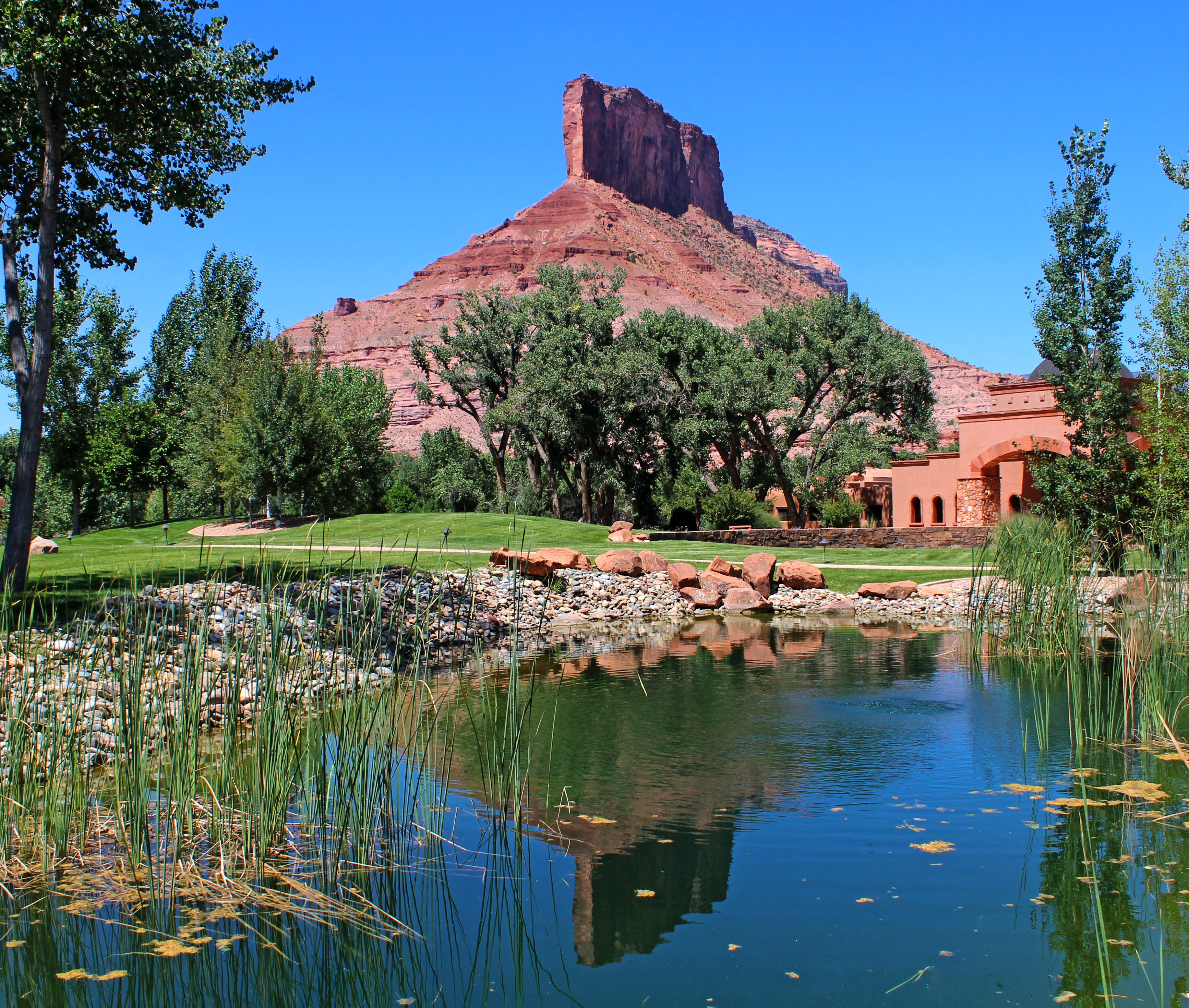
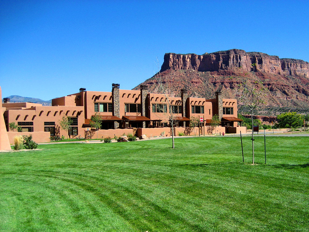
Gateway Canyons Resort
Gateway Canyons

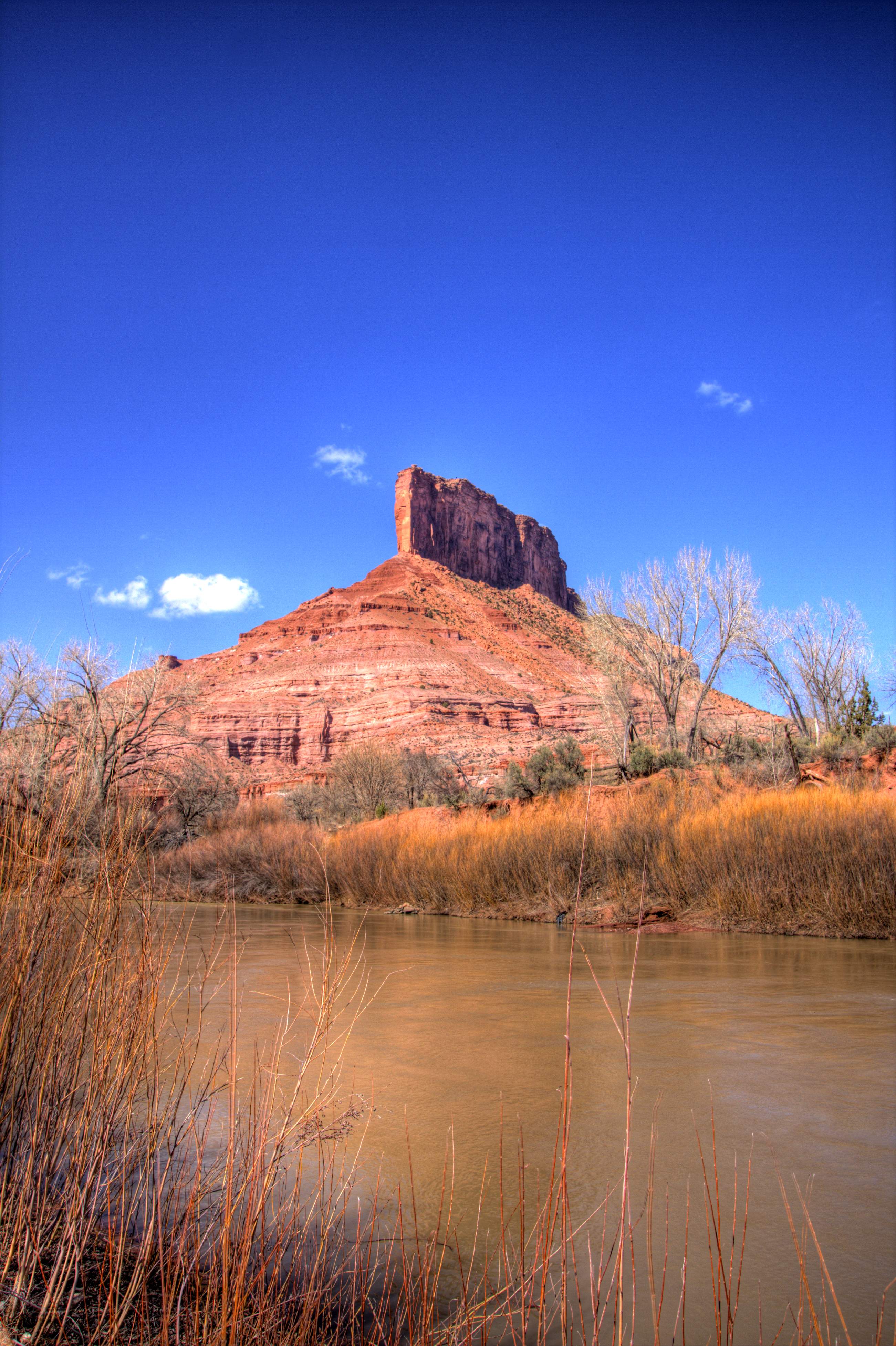
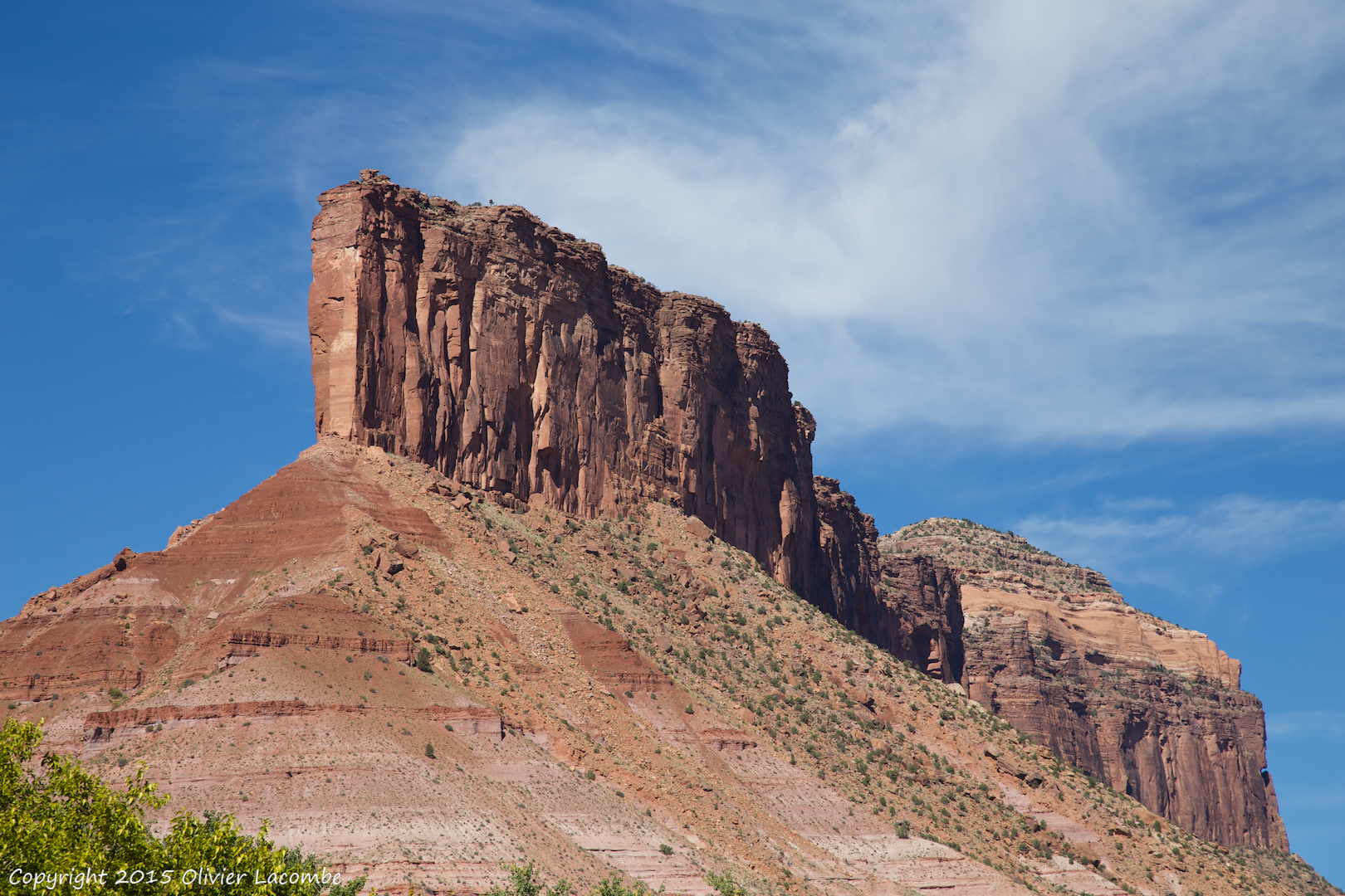
W Colorado 034 The Pallisade from SR 141 near Gateway
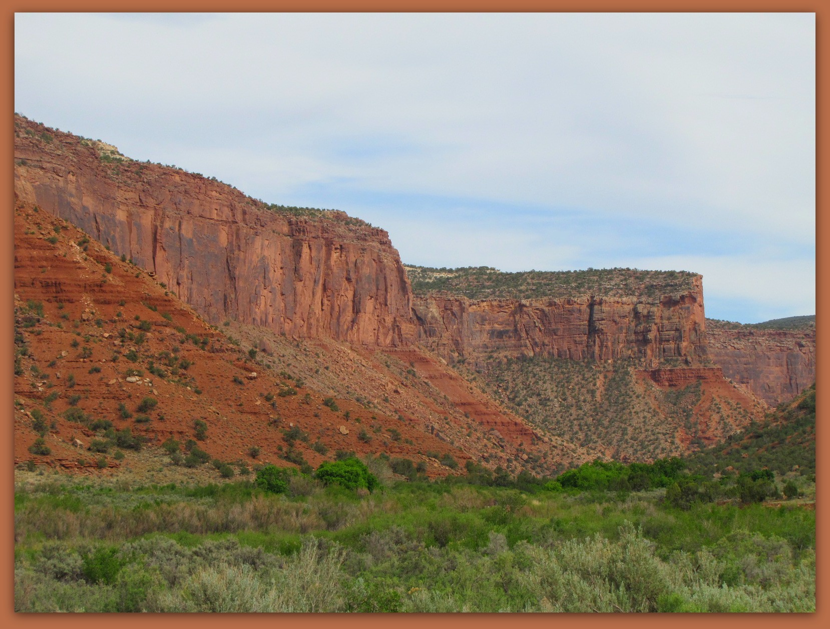
Palisades at Gateway
Gateway, Colorado. End of the line.
W Colorado 029 Along SR 141 north of Gateway
Uanweep Canyon Jeep

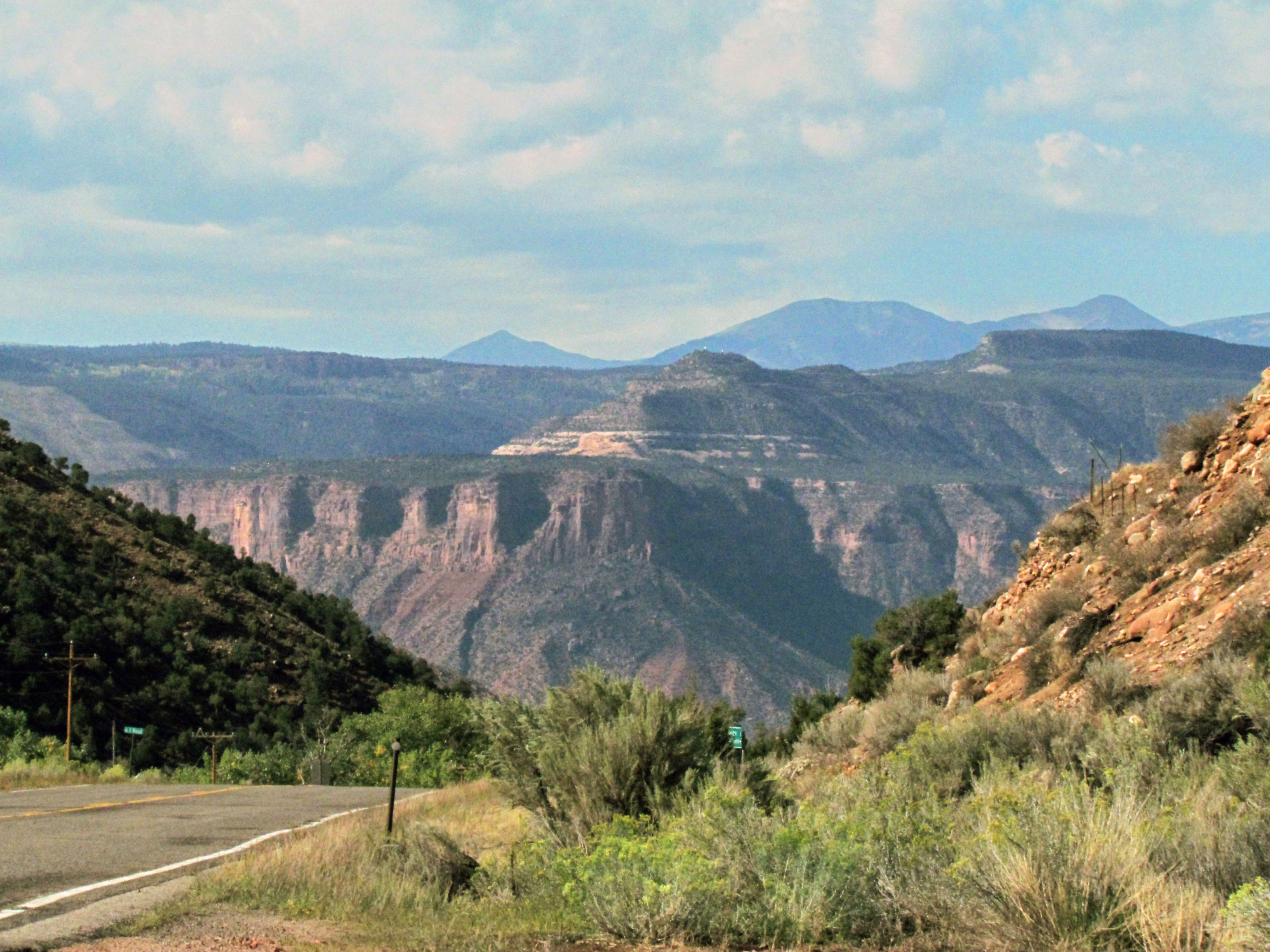
W Colorado 028 Along SR 141 south of Grand Junction

W Colorado 022 Along SR 141 south of Grand Junction
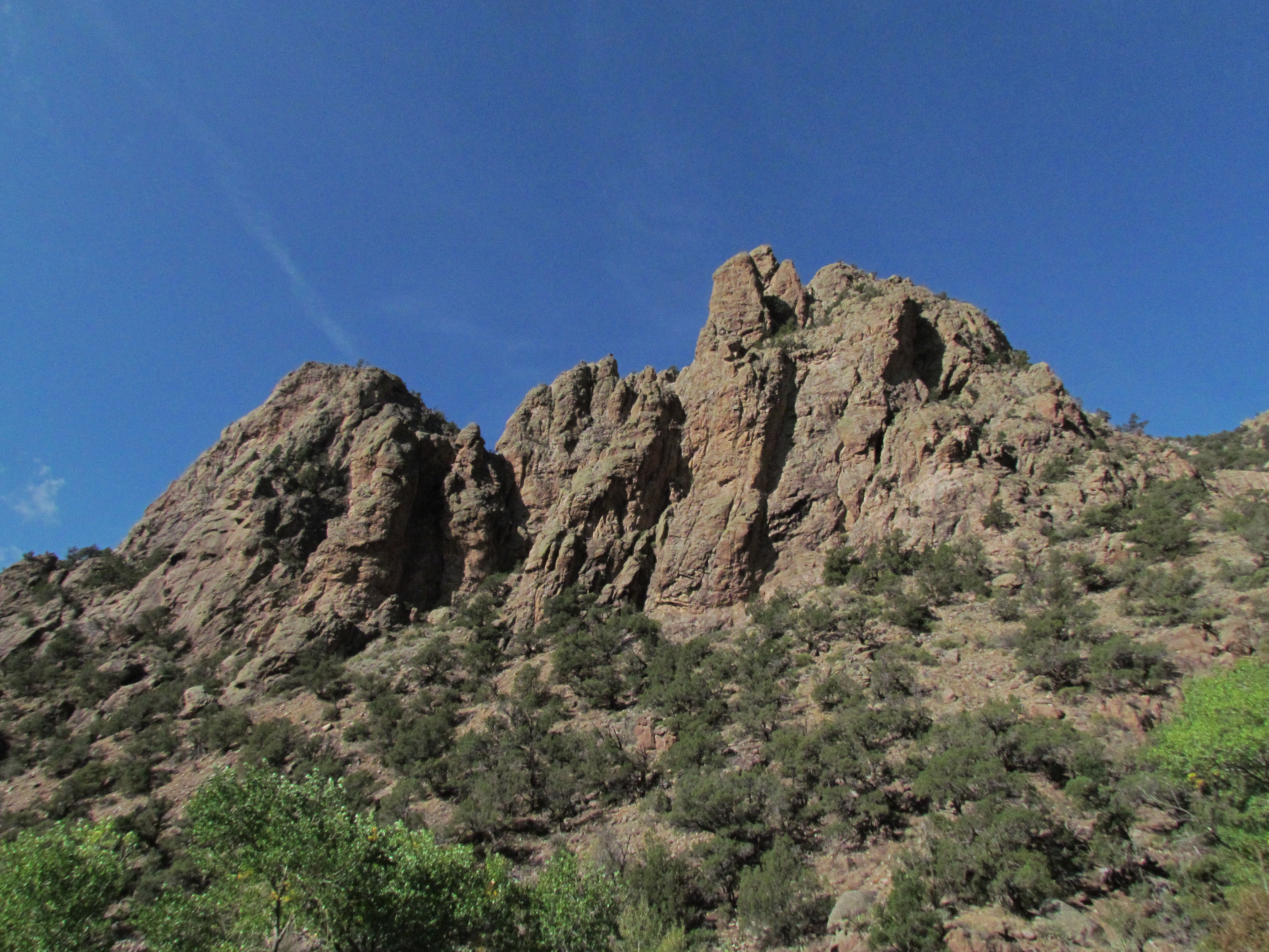
W Colorado 021 Along SR 141 south of Grand Junction
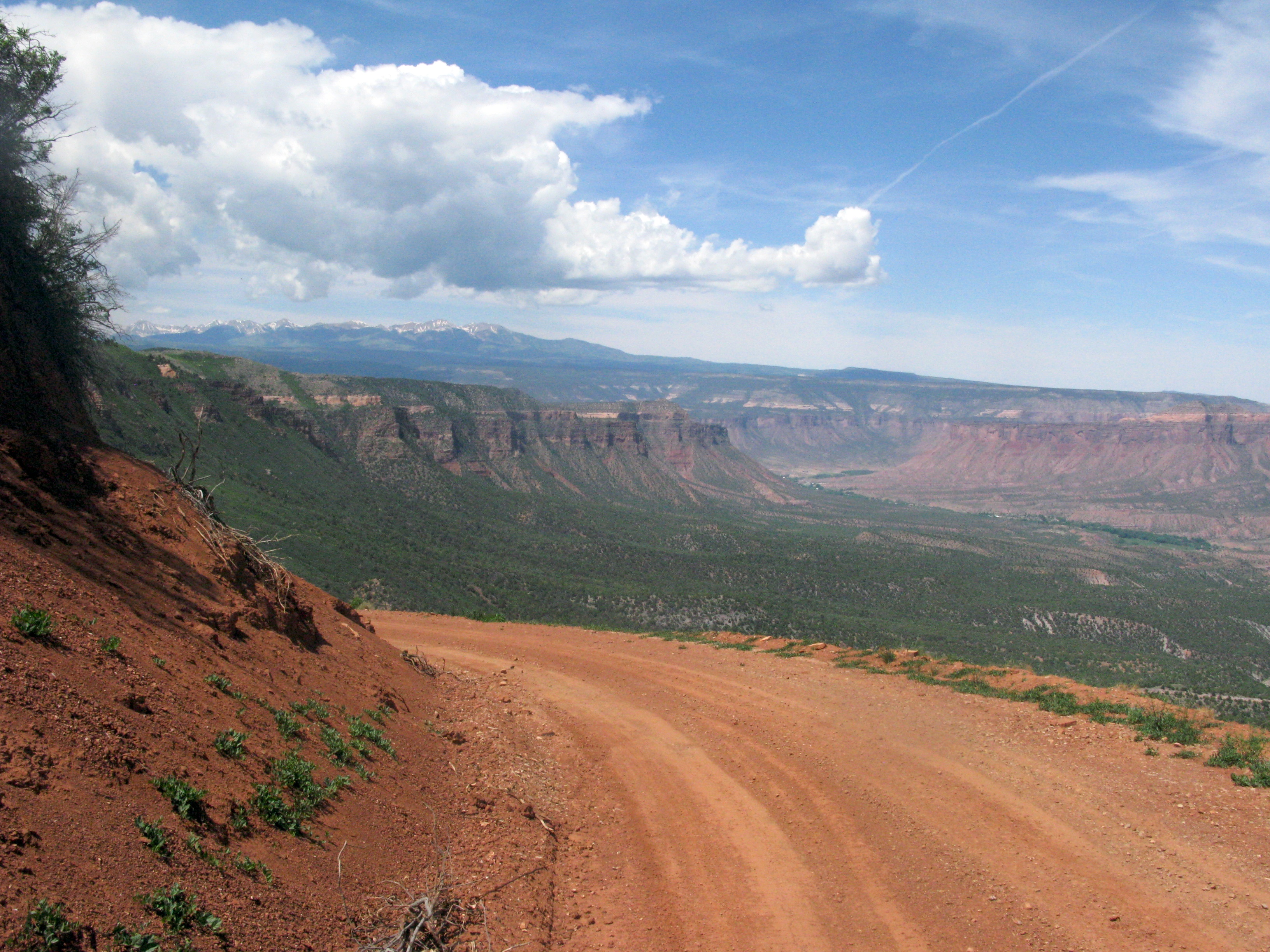
Dirt Road up the Mesa
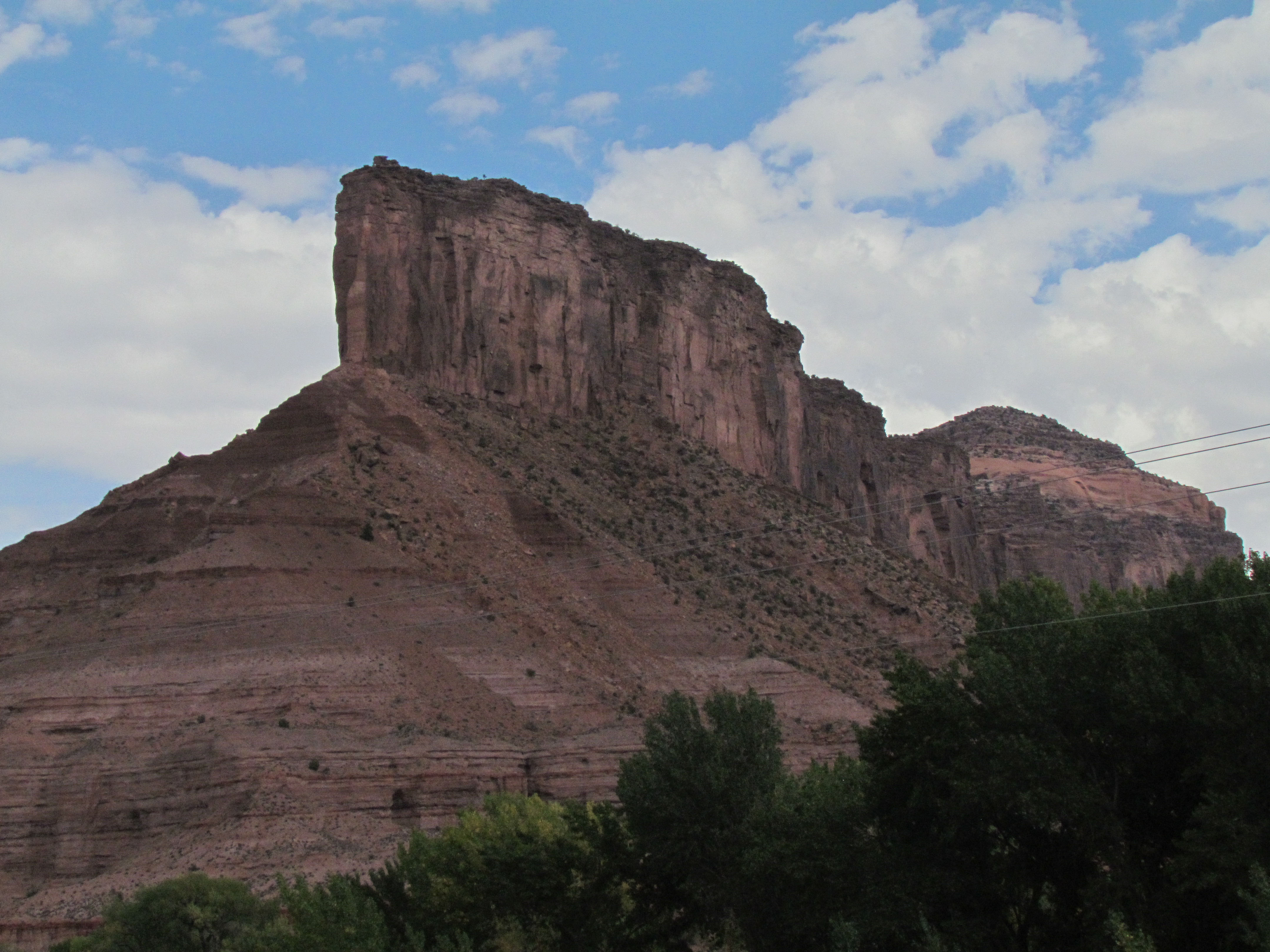
W Colorado 036 The Pallisade from SR 141 near Gateway
Sewemup Mesa, untouched by man
The Gateway Resort

W Colorado 030 Along SR 141 north of Gateway
Topographic Map of CO-, Gateway, CO, USA
Find elevation by address:

Places near CO-, Gateway, CO, USA:
CO-, Gateway, CO, USA
Gateway
43200 Co-141
43000 Co-141
Z6 Rd, Bedrock, CO, USA
275 16 1/10 Rd
CO-, Whitewater, CO, USA
Ms Rd, Glade Park, CO, USA
Rd, Bedrock, CO, USA
Paradox
Divide Forks Campground
Thimble Rock Point
Piñon Mesa Hp
Bull Canyon Overlook And Dinosaur Track Site
Uncompahgre Butte
Bedrock
S 9 8/10 Rd, Glade Park, CO, USA
65 S Oak Ln
Snipe Mountain
Wray Mesa Road
Recent Searches:
- Elevation of Corso Fratelli Cairoli, 35, Macerata MC, Italy
- Elevation of Tallevast Rd, Sarasota, FL, USA
- Elevation of 4th St E, Sonoma, CA, USA
- Elevation of Black Hollow Rd, Pennsdale, PA, USA
- Elevation of Oakland Ave, Williamsport, PA, USA
- Elevation of Pedrógão Grande, Portugal
- Elevation of Klee Dr, Martinsburg, WV, USA
- Elevation of Via Roma, Pieranica CR, Italy
- Elevation of Tavkvetili Mountain, Georgia
- Elevation of Hartfords Bluff Cir, Mt Pleasant, SC, USA