Elevation of CO-, Whitewater, CO, USA
Location: United States > Colorado > Whitewater >
Longitude: -108.74185
Latitude: 38.760192
Elevation: 2050m / 6726feet
Barometric Pressure: 79KPa
Elevation Map:
Satellite Map:
Related Photos:
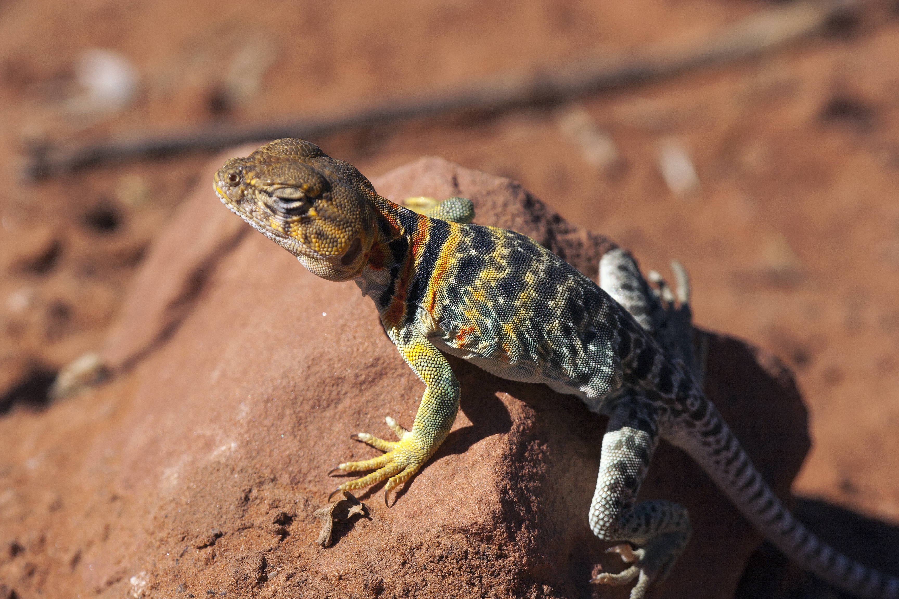
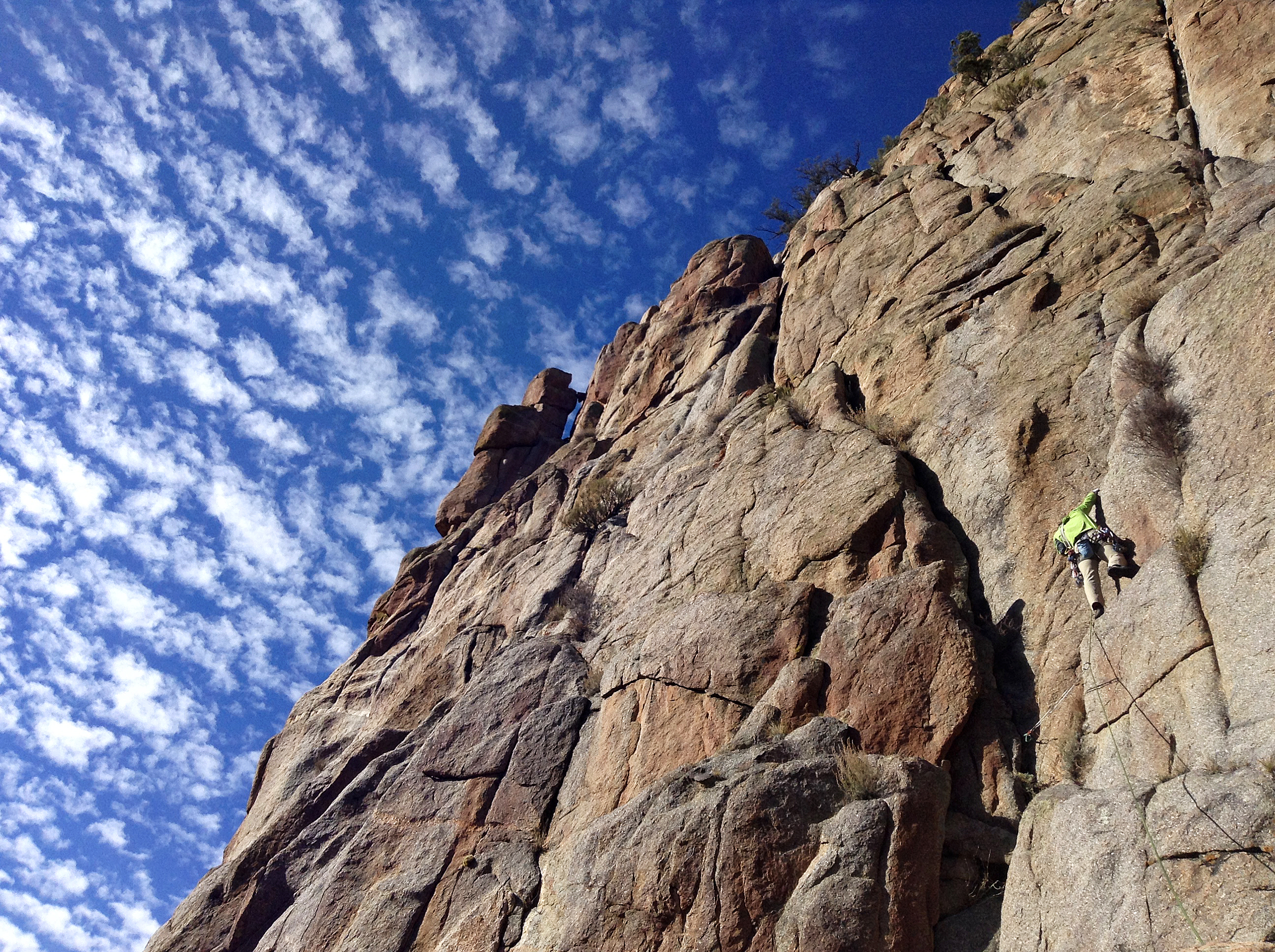
Collared lizard
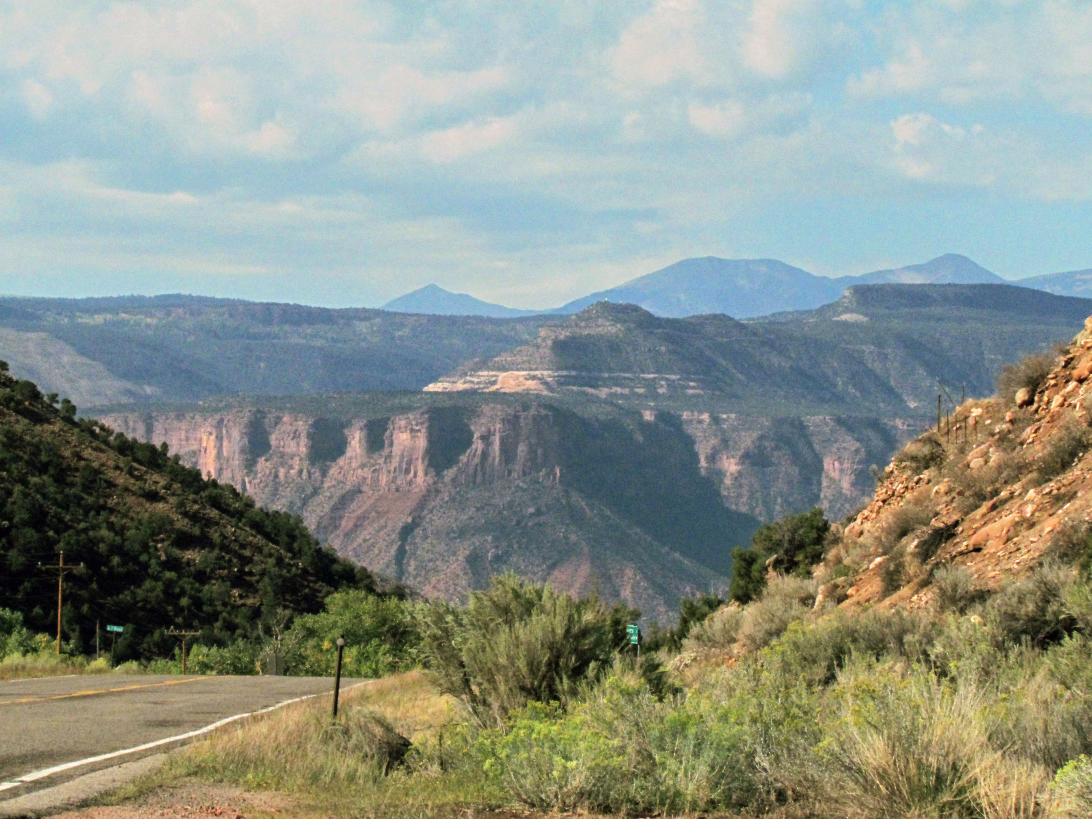
W Colorado 024 View of Utah from SR 141 near Gateway
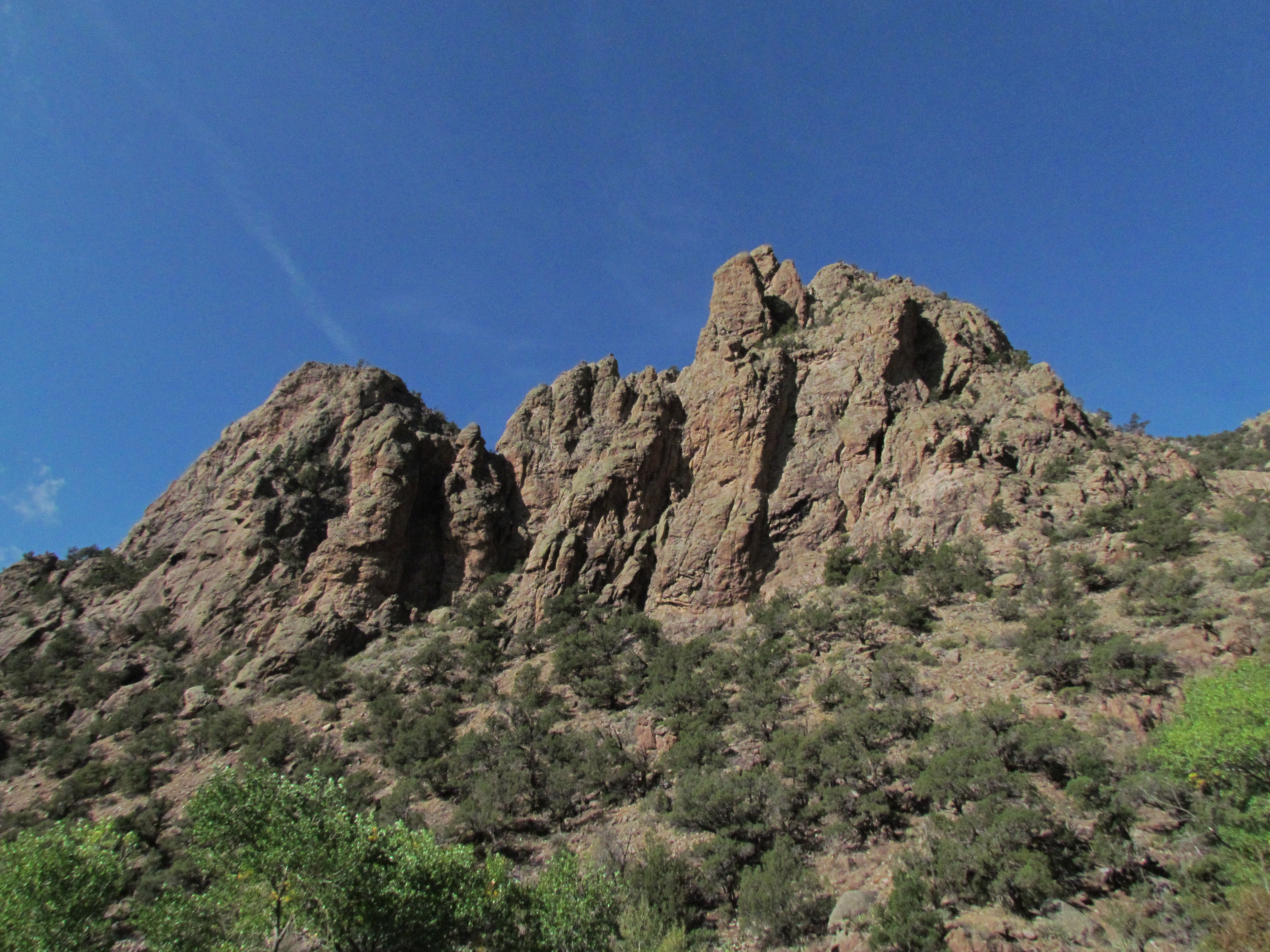
Thimble Rock Point
The broken dream at Thimble Rock

W Colorado 016 Along SR 141 south of Grand Junction
W Colorado 015 Along SR 141 - cows

Driggs Mansion
W Colorado 013 Along SR 141 south of Grand Junction

Thimble Rock & the Driggs Mansion
Rain at Thimble Rock

W Colorado 010 Along SR 141 south of Grand Junction

W Colorado 022 Along SR 141 south of Grand Junction

Uncompahgre Window

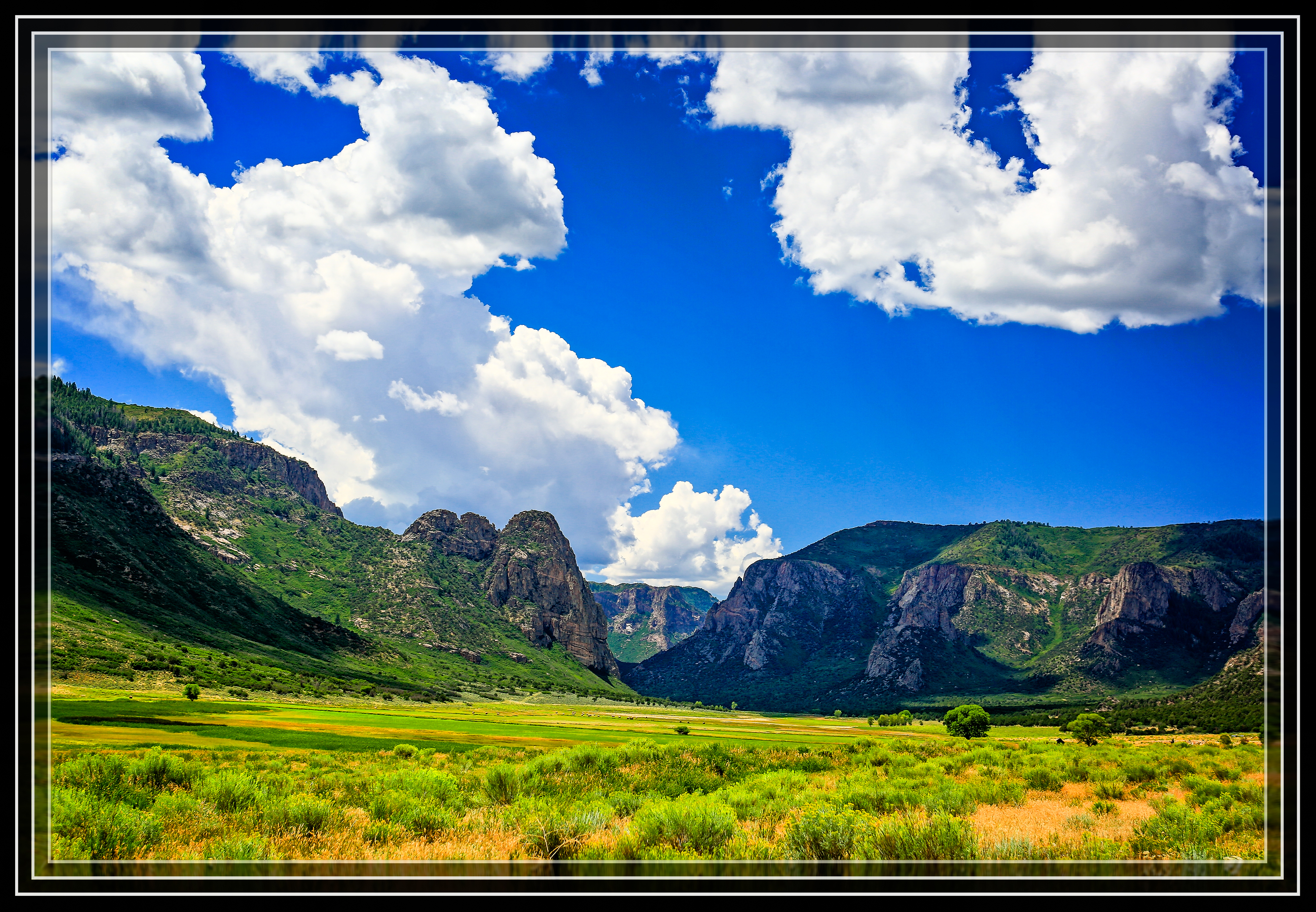
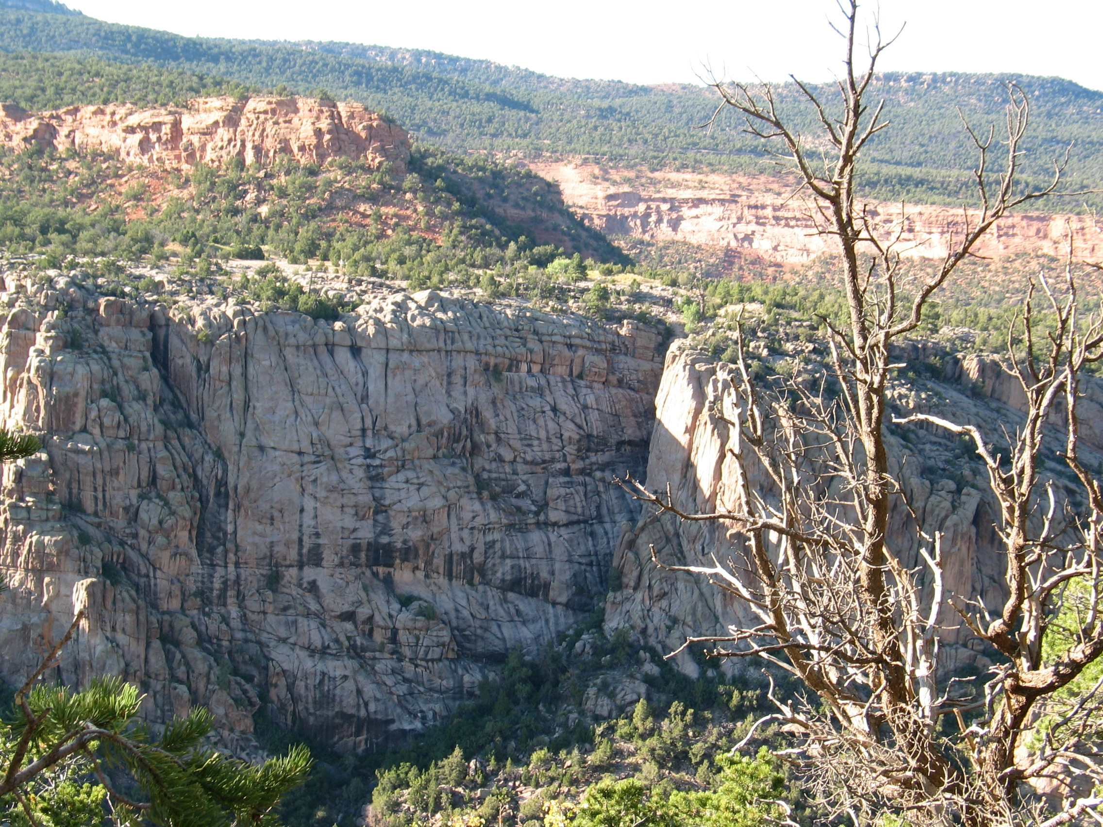
Unaweep Canyon
Driggs Mansion
W Colorado 021 Along SR 141 south of Grand Junction
W Colorado 020 Along SR 141 south of Grand Junction
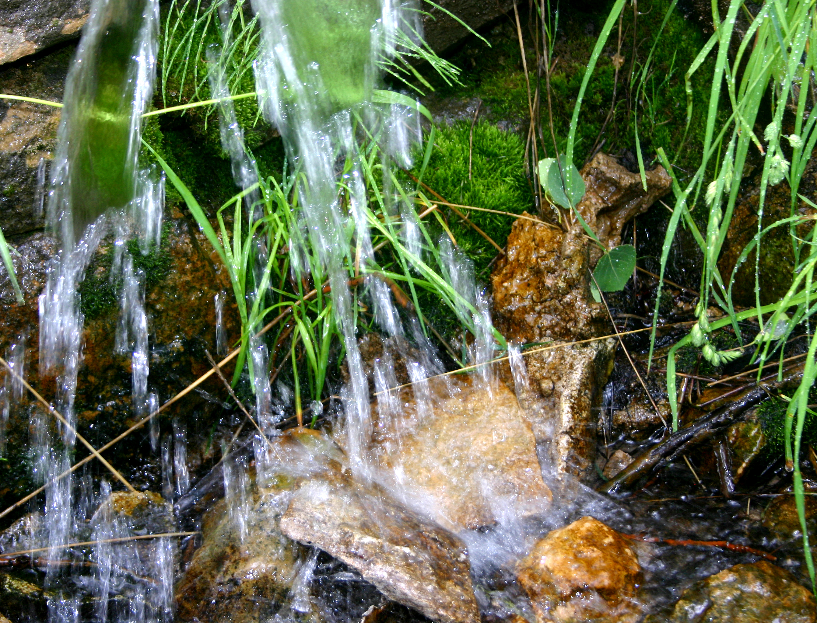
Cold, clear water from Mud Spring
Canyon rocks, Colorado

W Colorado 019 Along SR 141 south of Grand Junction
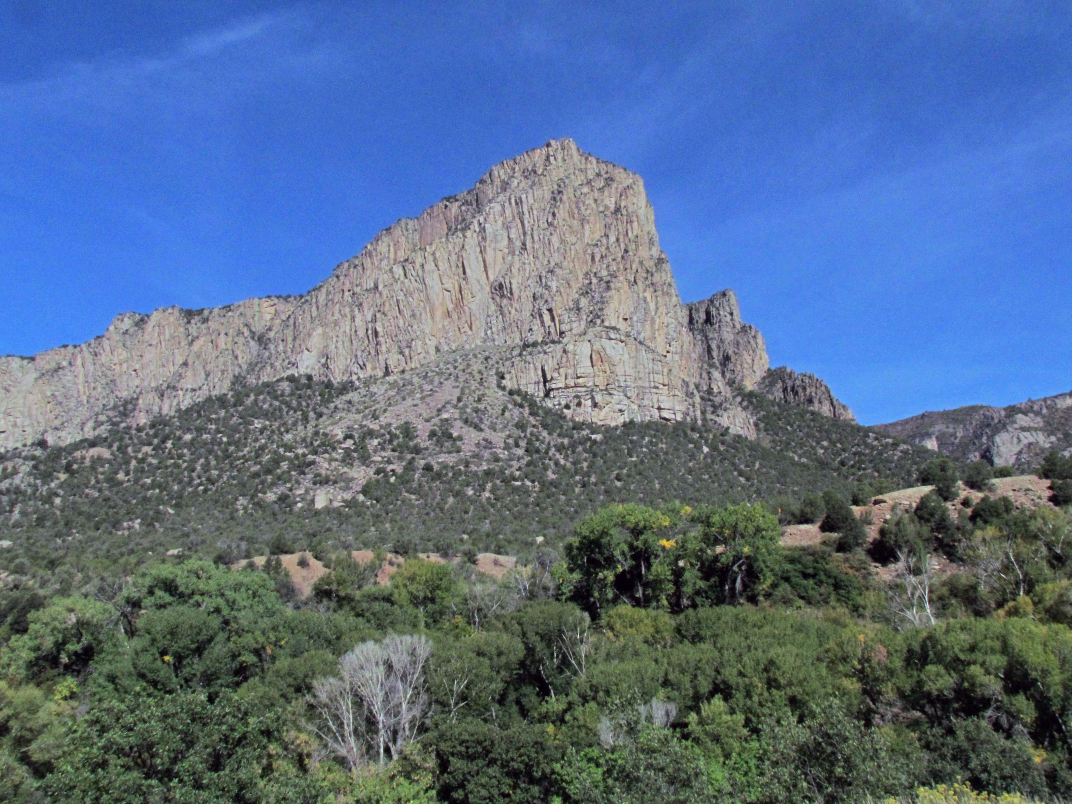
Sunday Wall
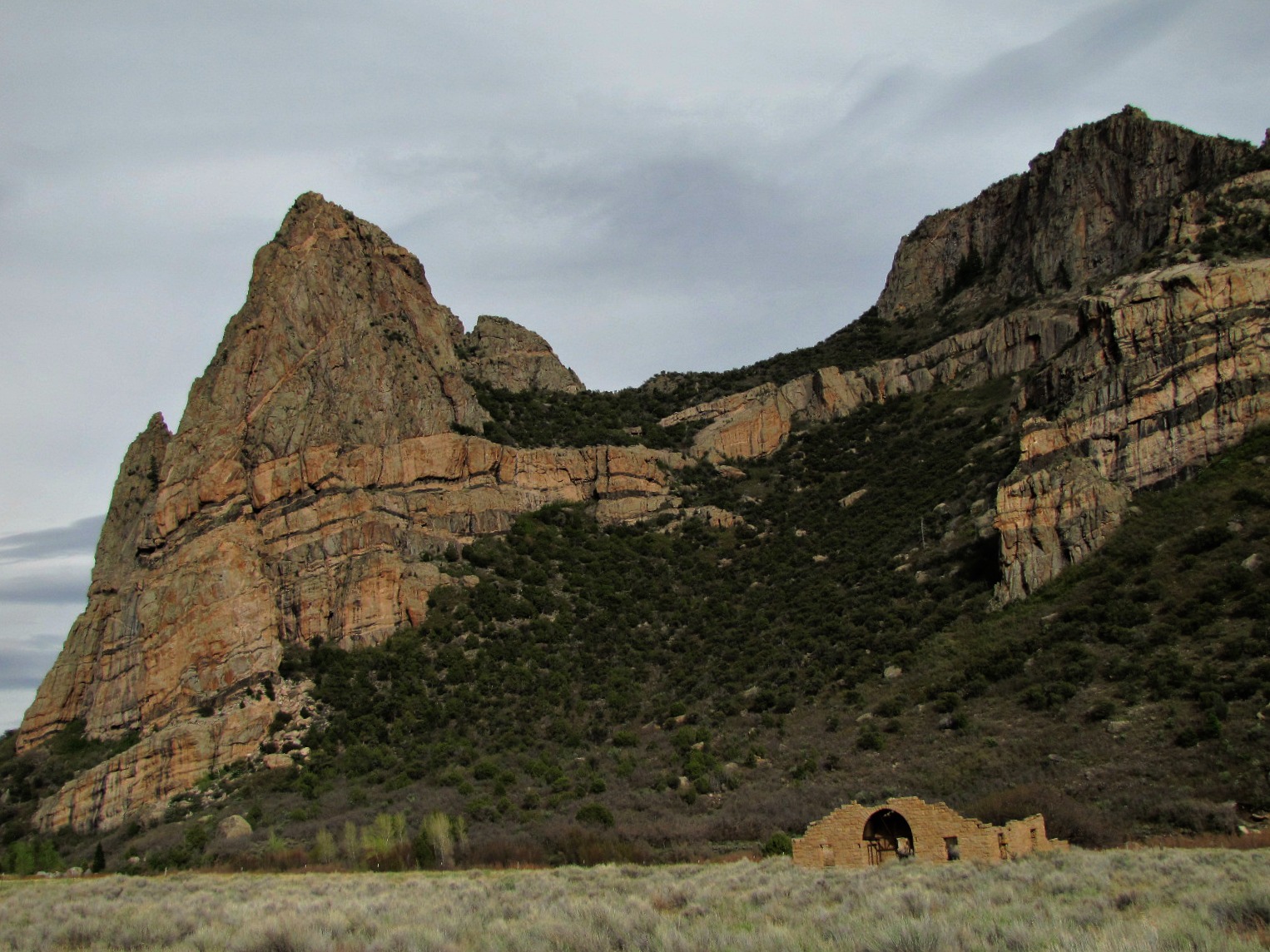
Thimble Rock (and Driggs Mansion)
Topographic Map of CO-, Whitewater, CO, USA
Find elevation by address:

Places near CO-, Whitewater, CO, USA:
275 16 1/10 Rd
Thimble Rock Point
Piñon Mesa Hp
Divide Forks Campground
17700 Co-141
43000 Co-141
Masters Ranch Drive
S 9 8/10 Rd, Glade Park, CO, USA
Snipe Mountain
19771 Miller Canyon Ranch Rd
Uncompahgre Butte
Miller Canyon
Rough Canyon Road
S 21 1/2 Rd, Glade Park, CO, USA
Glade Park
Mesa County
CO-, Gateway, CO, USA
12500 B South Rd
Gateway
CO-, Gateway, CO, USA
Recent Searches:
- Elevation of Corso Fratelli Cairoli, 35, Macerata MC, Italy
- Elevation of Tallevast Rd, Sarasota, FL, USA
- Elevation of 4th St E, Sonoma, CA, USA
- Elevation of Black Hollow Rd, Pennsdale, PA, USA
- Elevation of Oakland Ave, Williamsport, PA, USA
- Elevation of Pedrógão Grande, Portugal
- Elevation of Klee Dr, Martinsburg, WV, USA
- Elevation of Via Roma, Pieranica CR, Italy
- Elevation of Tavkvetili Mountain, Georgia
- Elevation of Hartfords Bluff Cir, Mt Pleasant, SC, USA