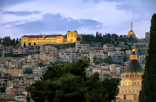
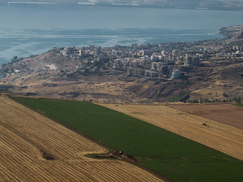
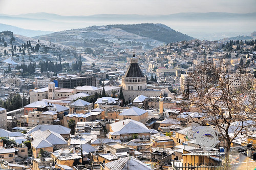
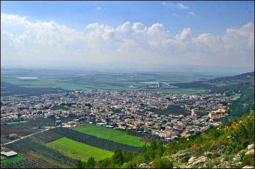
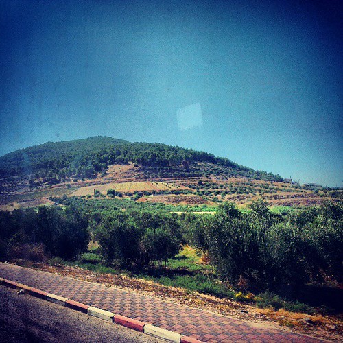
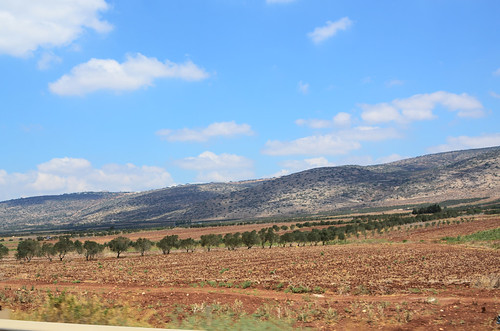
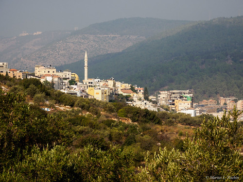
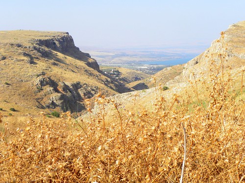
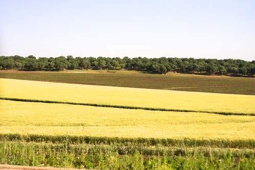
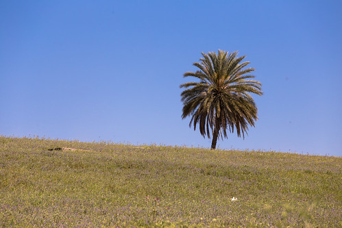
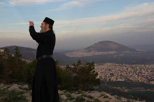
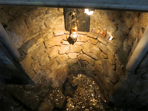
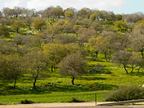
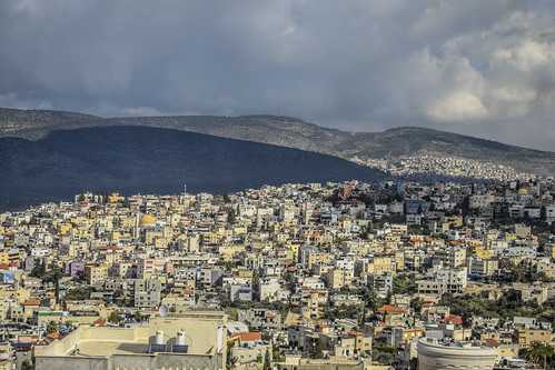
Elevation of The Wedding Church, Kafr Kanna, Israel
Location: Israel > North District > Yizrael > Kafr Kanna >
Longitude: 35.3384441
Latitude: 32.7470364
Elevation: 237m / 778feet
Barometric Pressure: 0KPa
Related Photos:
Topographic Map of The Wedding Church, Kafr Kanna, Israel
Find elevation by address:

Places near The Wedding Church, Kafr Kanna, Israel:
Kafr Kanna
Karkom Street
Yaqinton Street
Nof Hagalil
Yasmin St 32
Yasmin Street
Greek Orthodox Church Of The Annunciation
Nazareth
Basilica Of The Annunciation
St. Mary's Inn
Nazareth-tir'an Mountains
Tsipori
Mitzpe Netofa
Khirbet Qana
Giv'at Avni
Masad
Horns Of Hattin
Kfar Zeitim
Bethlehem Of Galilee
Lower Galilee
Recent Searches:
- Elevation of North 8th Street, Palatka, Putnam County, Florida, 32177, USA
- Elevation of 107, Big Apple Road, East Palatka, Putnam County, Florida, 32131, USA
- Elevation of Jiezi, Chongzhou City, Sichuan, China
- Elevation of Chongzhou City, Sichuan, China
- Elevation of Huaiyuan, Chongzhou City, Sichuan, China
- Elevation of Qingxia, Chengdu, Sichuan, China
- Elevation of Corso Fratelli Cairoli, 35, Macerata MC, Italy
- Elevation of Tallevast Rd, Sarasota, FL, USA
- Elevation of 4th St E, Sonoma, CA, USA
- Elevation of Black Hollow Rd, Pennsdale, PA, USA
- Elevation of Oakland Ave, Williamsport, PA, USA
- Elevation of Pedrógão Grande, Portugal
- Elevation of Klee Dr, Martinsburg, WV, USA
- Elevation of Via Roma, Pieranica CR, Italy
- Elevation of Tavkvetili Mountain, Georgia
- Elevation of Hartfords Bluff Cir, Mt Pleasant, SC, USA
- Elevation of SW Barberry Dr, Beaverton, OR, USA
- Elevation of Old Ahsahka Grade, Ahsahka, ID, USA
- Elevation of State Hwy F, Pacific, MO, USA
- Elevation of Chemin de Bel air, Chem. de Bel air, Mougins, France

