Elevation of Yizrael, Israel

Location: Israel > North District >

Longitude: 35.3466253

Latitude: 32.6066396

Elevation: 182m / 597feet

Barometric Pressure: 99KPa

Elevation Map:

elevation map of Yizrael, Israel

Satellite Map:

Satellite map of Yizrael, Israel

Related Photos:

outstandingromanianphotographers
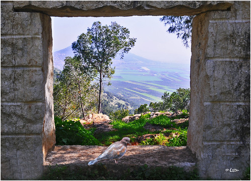
Looks to Mt. Tabour
panorama landscape nazareth tavor supershot vallry kesulot
Kesulot Valley
church israel cathedral barak ישראל promisedland holyland monadnock canaan franciscan mounttabor עמקיזרעאל churchofthetransfiguration jezreelvalley eretzyisrael hartavor northdistrict ארץישראל lowergalilee emekyizreel 158000views הרתבור transfigurationofchrist όροσθαβώρ ארץהקודש eretzhaqodesh mountoftransfiguration הגלילהתחתון hagalilhatahton itabyrium jebelettur جبلطابور الجليلالأسفل aljaleelalasfal مرجابنعامر marǧibnamer mounttaborbattle ברקבןאבינעם כנסייתההשתנות كنيسةالتجلي
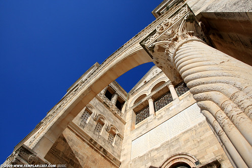
IL09 2786 Mt-Tabor, Church of the Transfiguration הר תבור
bw israel ישראל גליל galile חניקריסטל favescontestwinner
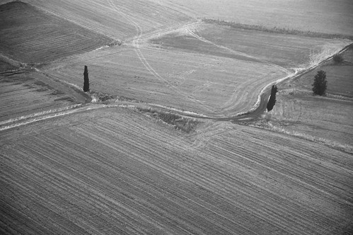
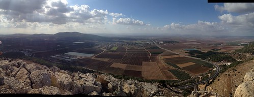
Landscape from above
square lofi squareformat iphoneography instagramapp uploaded:by=instagram foursquare:venue=4cd2ae333e0c8cfac50c1912
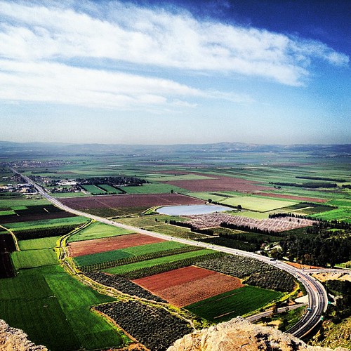
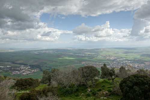
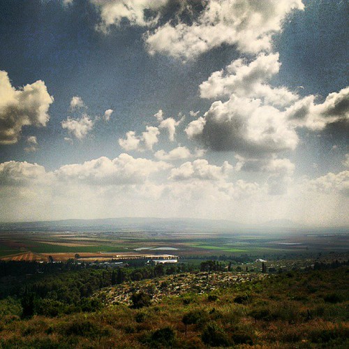
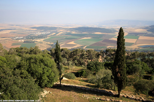
Amazing view from the Mouth of Precipice on the edge of Nazareth. Megiddo can be seen in the far distance across the Jezreel valley.
film archaeology 35mm geotagged israel 35mmfilm 1975 excavation canonftb kibbutznaan kibbutzgevat kibbutzgvat shmaryahugutman daviddorren shmaryahuguttman shmaryagutman shmaryaguttman shmariagutman shmariaguttman שמריהוגוטמן geo:lat=326739 geo:lon=35208099 קיבוץגבת קיבוץנען
1975.06-08a Kibbutz Gvat excavation 1975, early morning, Shmaryahu Gutman
city buildings israel strada middleeast galilee pilgrimage holyland città nazareth israele terrasanta galilea mediooriente nazarethillit pellegrinaggio illit steeet
Nazareth - Old City Panoramic View
city buildings israel strada middleeast galilee pilgrimage holyland città nazareth israele terrasanta galilea mediooriente nazarethillit pellegrinaggio illit steeet
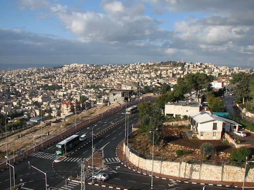
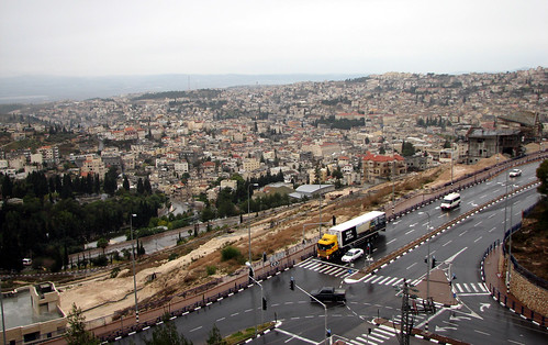
Nazareth - Old City View from Nazareth Illit
israel holyland nazareth stjosephschurch
Joseph's Wood Shop
city buildings israel strada middleeast galilee pilgrimage holyland città nazareth israele terrasanta galilea mediooriente nazarethillit pellegrinaggio illit steeet
Nazareth - Old City View from Nazareth Illit
archaeology ancienthistory middleeast aerial libraryofcongress airphoto oblique aerialphotography matsoncollection nitratenegative aerialarchaeology geocodedbasedonsite
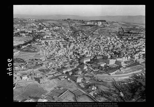
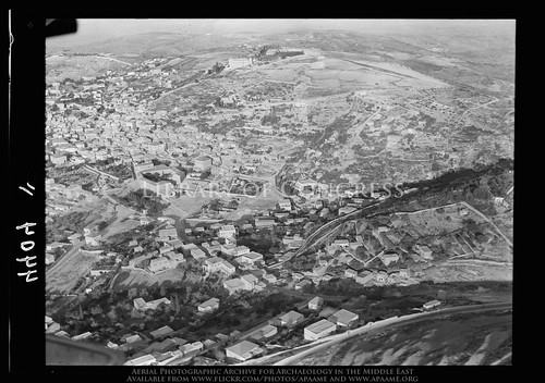
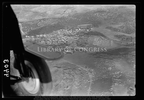
Nazareth. Approaching town from S.E. showing main road into town, convents, etc.
archaeology ancienthistory middleeast aerial libraryofcongress airphoto oblique aerialphotography matsoncollection nitratenegative aerialarchaeology geocodedbasedonsite
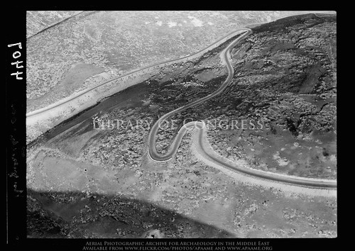
Hair-pin bends. Ascent to Nazareth, from Plain of Esdraelon
blue trees sky sun nature forest israel view middleeast plains shining mounttabor
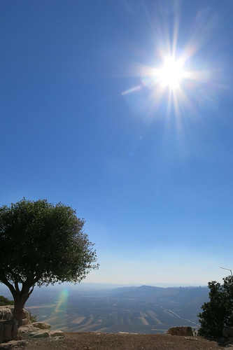
Mount Tabor
ben galilee avi barak shlush
Mount Tabor view to the North
square lofi squareformat iphoneography instagramapp uploaded:by=instagram foursquare:venue=50ddb04ce4b0de77c56ee13b
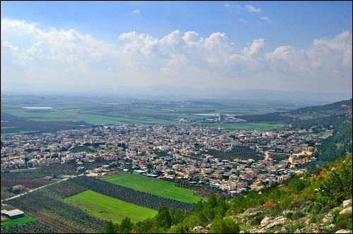
Can anything good come from Nazareth? I'd say a great view comes from Nazareth!
archaeology ancienthistory middleeast aerial libraryofcongress airphoto oblique aerialphotography matsoncollection nitratenegative aerialarchaeology geocodedbasedonsite
Nazareth. Approaching town from N.E. Virgin's fount in center of picture
israel tabor northdistrict
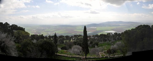
View North from Tabor
archaeology ancienthistory middleeast aerial libraryofcongress airphoto oblique aerialphotography matsoncollection nitratenegative aerialarchaeology geocodedbasedonsite
Mt. Tabor. Compounds on summit
ben galilee avi barak shlush
Mount Tabor view
archaeology ancienthistory middleeast aerial libraryofcongress airphoto oblique aerialphotography matsoncollection nitratenegative aerialarchaeology geocodedbasedonsite
Cana of Galilee
church israel catholic christ basilica madonna faith mary religion jesus middleeast galilee chiesa christianity cristo virginmary annunciation pilgrimage holyland fede biblical nazareth israele cattolico gesu religione terrasanta galilea mediooriente pellegrinaggio annunciazione cristianesimo verginemaria
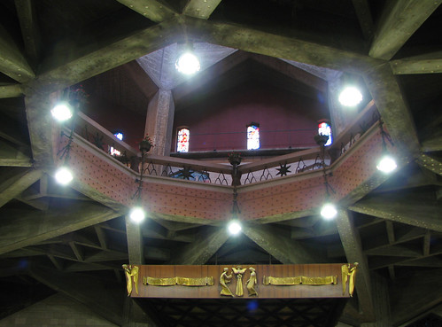
Nazareth - Church of the Annunciation - Upper Church View
outstandingromanianphotographers
Minor settlement and horizon
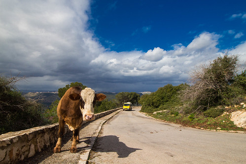
Waiting for that Taxi
square squareformat hefe iphoneography instagramapp uploaded:by=instagram foursquare:venue=4c24c524a852c928109fe36c
On and on I keep singing my song
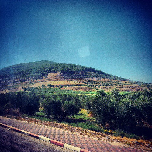
square lofi squareformat iphoneography instagramapp uploaded:by=instagram
It cannot wait
timrat uploaded:by=flickrmobile flickriosapp:filter=nofilter
Tel shimron at sunset (Israel, emeq yisrae'l region)
square squareformat iphoneography instagramapp xproii uploaded:by=instagram foursquare:venue=4c36d71952dfef3b08e3ee70
But you don't know what you've got 'til it's gone
Mount Carmel
Holy Land Trip 2/5 - 097
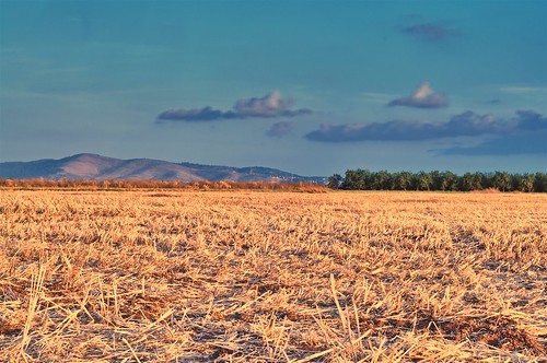
blue sky cloud mountain tree green field yellow israel dusk hill harvest agriculture range ישראל hdr reddish earlyevening gilboa הר גלבוע עננים שמיים צפון שדה צהוב כחול קציר ירוק עצים טבע שיח easyhdr חקלאות מולדת northerndistrict עפולה רכס אדמדם שעתביןערביים קצור
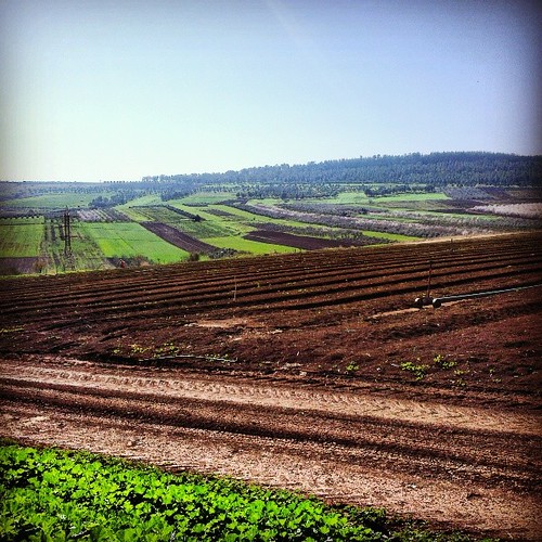
שעת בין ערביים בשדה קצור מול הגלבוע - Dusk at a harvested field with Gilboa range at the distance
landscape christian nazareth tavor
Mount Of Perecipice
Nazareth Galilee
panorama israel barak ישראל promisedland holyland monadnock canaan mounttabor עמקיזרעאל jezreelvalley eretzyisrael hartavor northdistrict ארץישראל lowergalilee emekyizreel הרתבור transfigurationofchrist όροσθαβώρ ארץהקודש eretzhaqodesh mountoftransfiguration הגלילהתחתון hagalilhatahton itabyrium jebelettur جبلطابور الجليلالأسفل aljaleelalasfal مرجابنعامر marǧibnamer mounttaborbattle ברקבןאבינעם
IL09 2854 Mt-Tabor הר תבור
square squareformat iphoneography instagramapp xproii uploaded:by=instagram foursquare:venue=4c333133213c2d7fb67e365d
Spiritual country side
uploaded:by=flickrmobile flickriosapp:filter=nofilter tavormountainהרתבור
Panorama from Mount Tabor
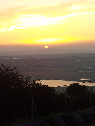
הזריחה מהקיבוץ
square squareformat iphoneography instagramapp xproii uploaded:by=instagram foursquare:venue=4c333133213c2d7fb67e365d
Spiritual country side
snow nazareth
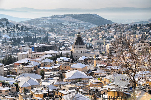
Nazareth Snow 10/01/2015
camera:model=nikond80 geocity exif:focal_length=28mm exif:iso_speed=640 camera:make=nikoncorporation alexanderkozhekinisrael exif:make=nikoncorporation geostate geocountrys exif:model=nikond80 exif:lens=280750mmf28 exif:aperture=ƒ40 nikond802875mmf28iso640noflash geo:lat=32616279566667 geo:lon=35367479316667
DSC_5311 Givat_HaMore 3/26/2011