Elevation of Kafr Kanna, Israel
Location: Israel > North District > Yizrael >
Longitude: 35.3438402
Latitude: 32.7481978
Elevation: 279m / 915feet
Barometric Pressure: 98KPa
Elevation Map:
Satellite Map:
Related Photos:

Best view to the beautiful MASADA Israel Air Force

Cana of Galilee

1975F3.S04-20a Gvat excavation 1975, Shmaryahu Gutman
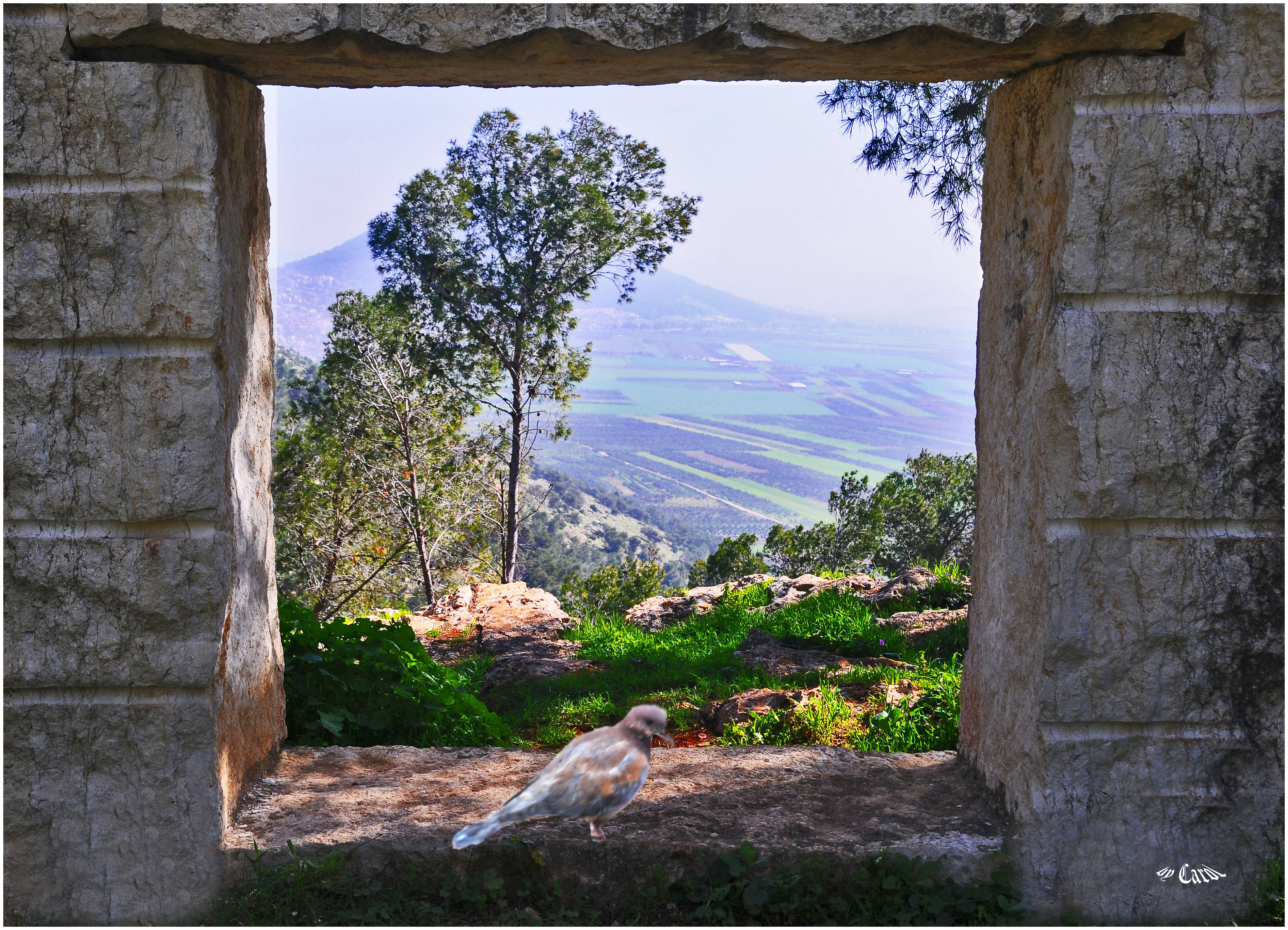
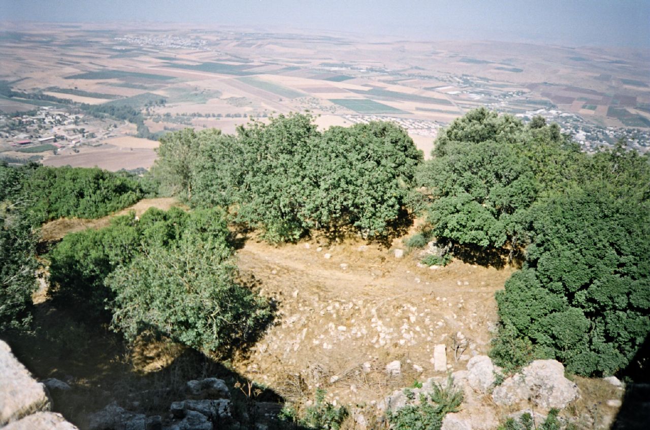
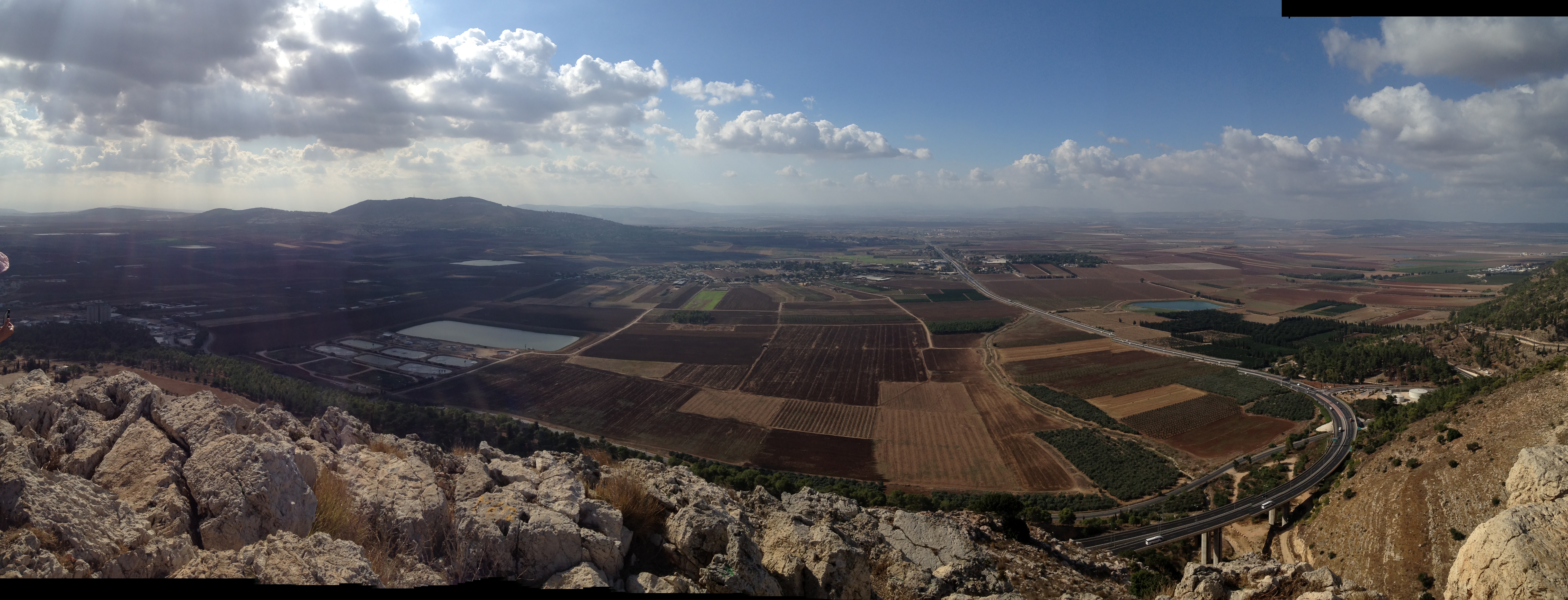
Looks to Mt. Tabour

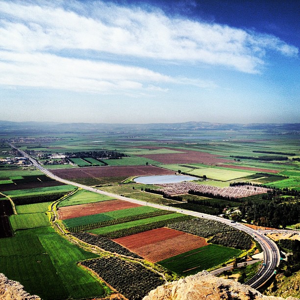
Kesulot Valley
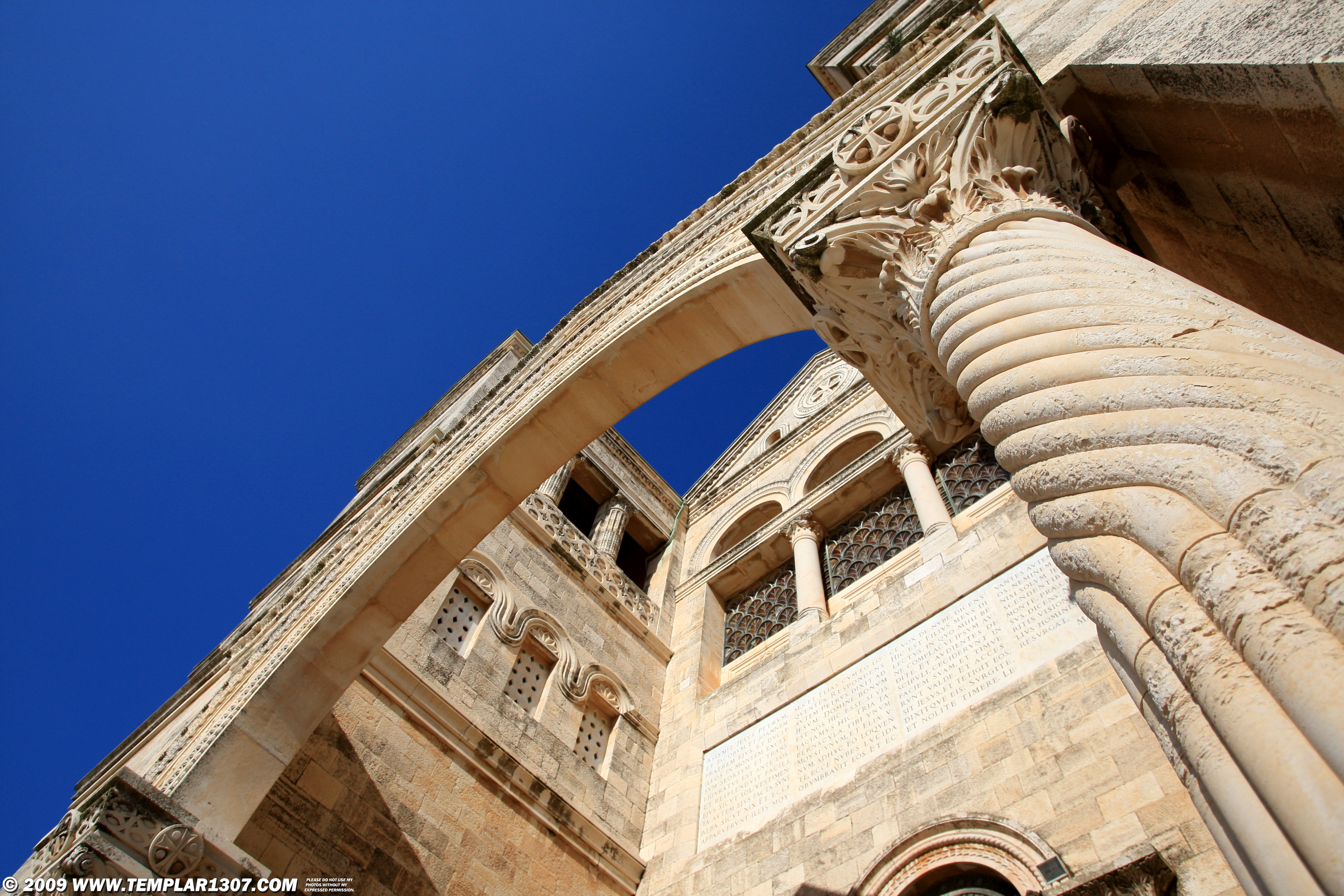
IL09 2786 Mt-Tabor, Church of the Transfiguration הר תבור
Amazing view from the Mouth of Precipice on the edge of Nazareth. Megiddo can be seen in the far distance across the Jezreel valley.

1975.06-08a Kibbutz Gvat excavation 1975, early morning, Shmaryahu Gutman

View from Kibbutz Lavi
Daily image #19 - A view with a poll
Monte Tabor - Israel
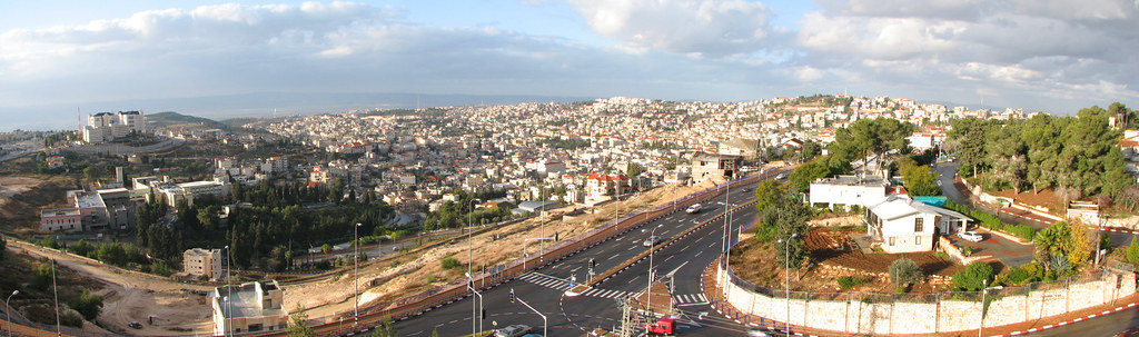
Nazareth - Old City Panoramic View
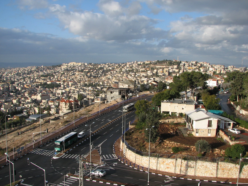
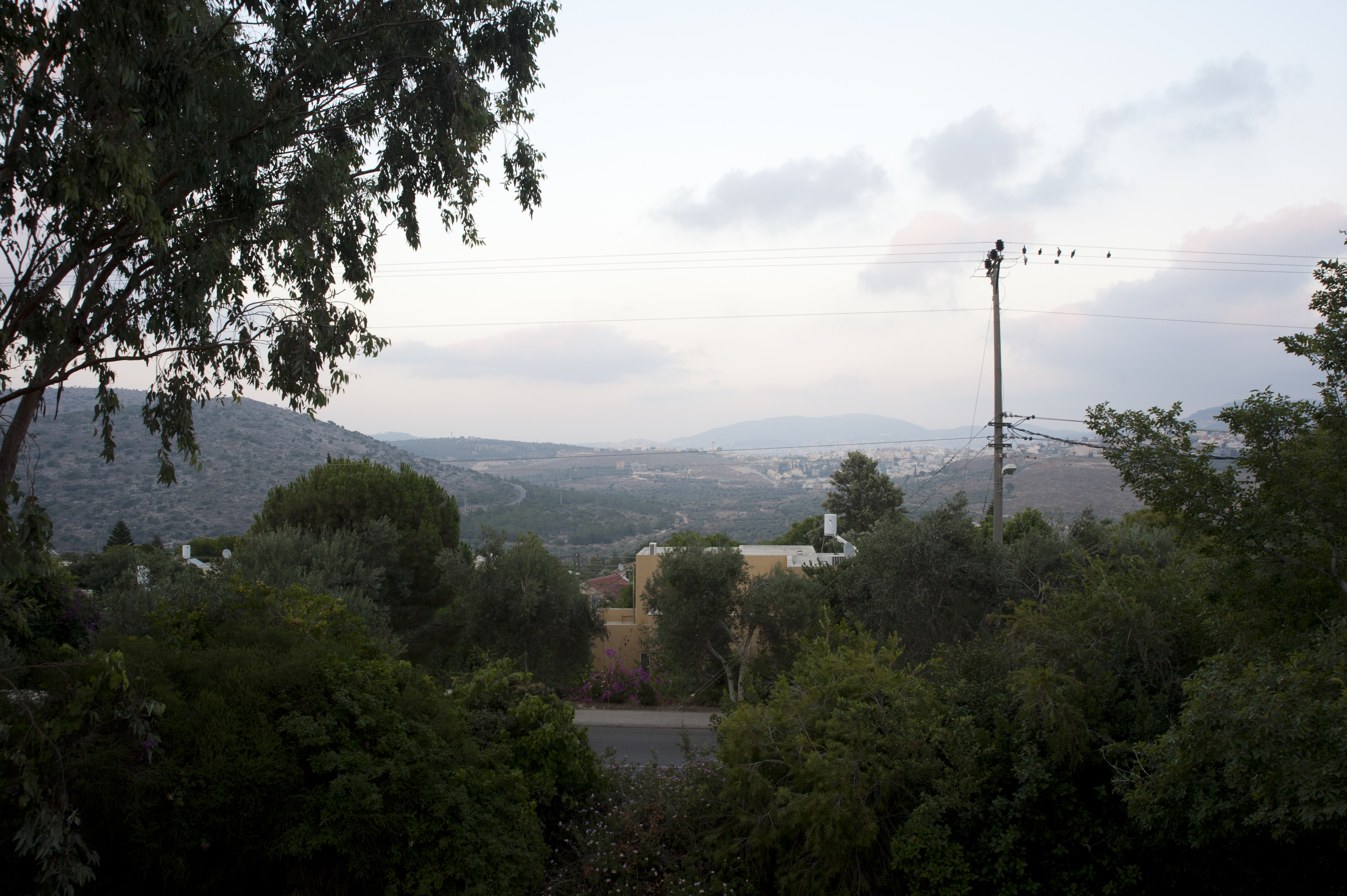
Nazareth - Old City View from Nazareth Illit
Joseph's Wood Shop
Nazareth - Old City View from Nazareth Illit
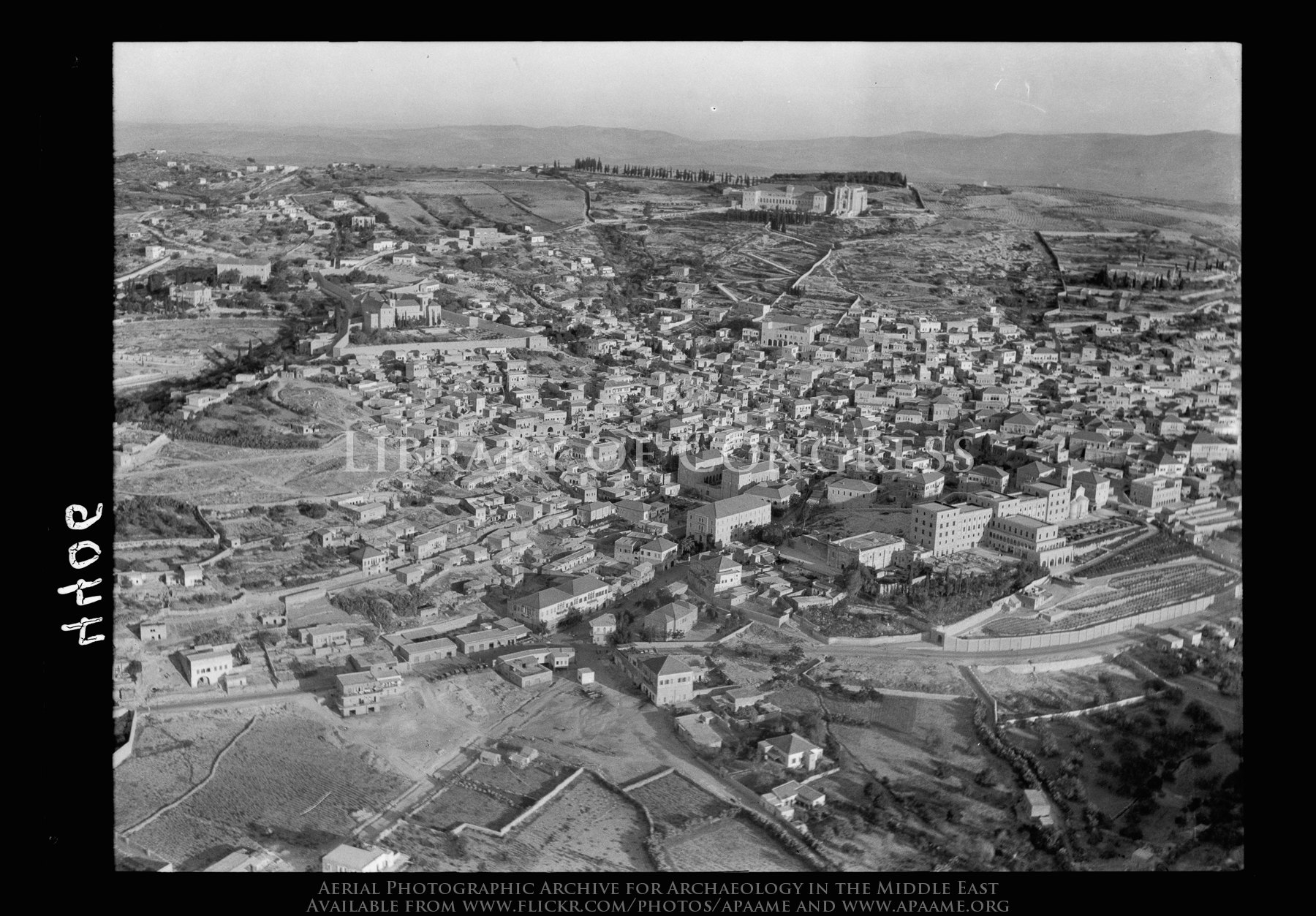
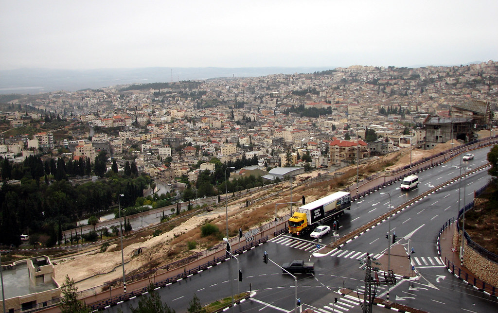
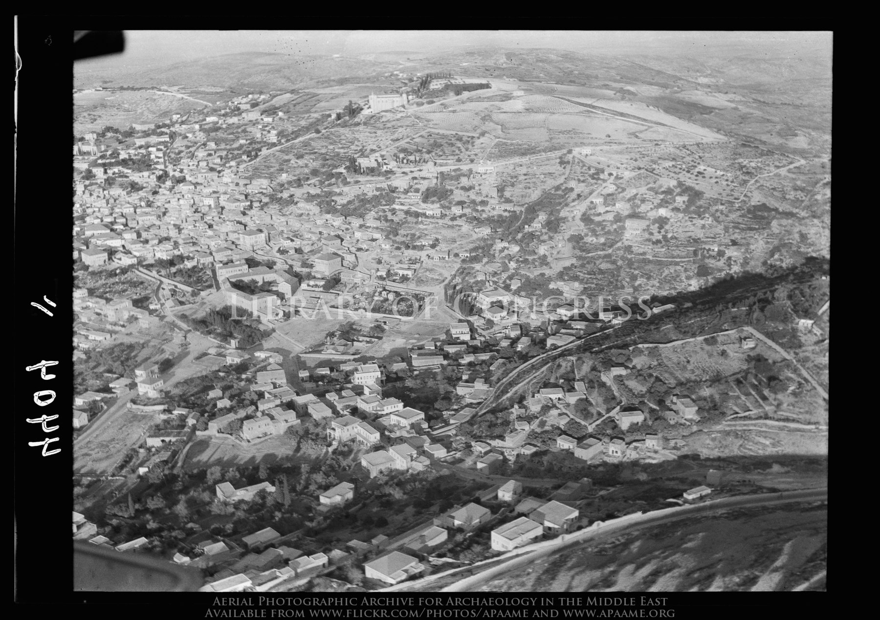
Nazareth. Approaching town from S.E. showing main road into town, convents, etc.
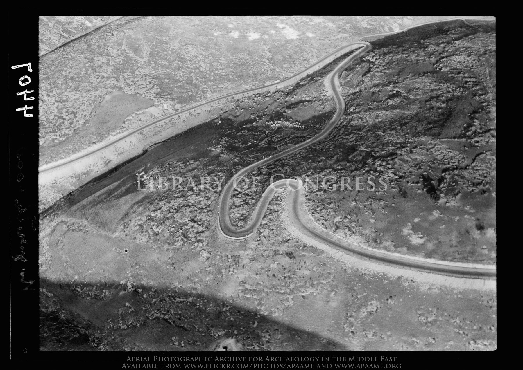
Hair-pin bends. Ascent to Nazareth, from Plain of Esdraelon

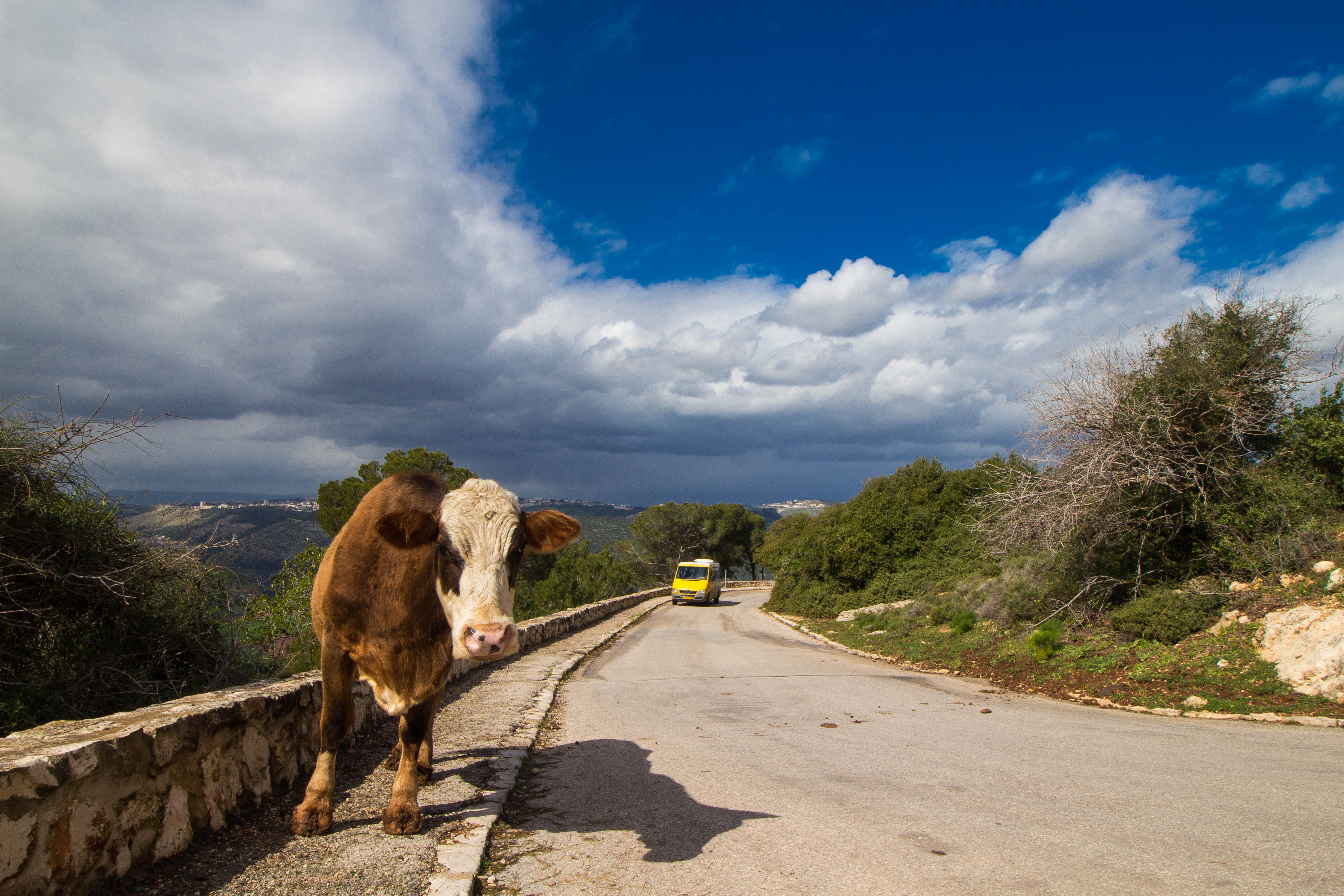
Kafr Sabt. North of Mt. Tabor

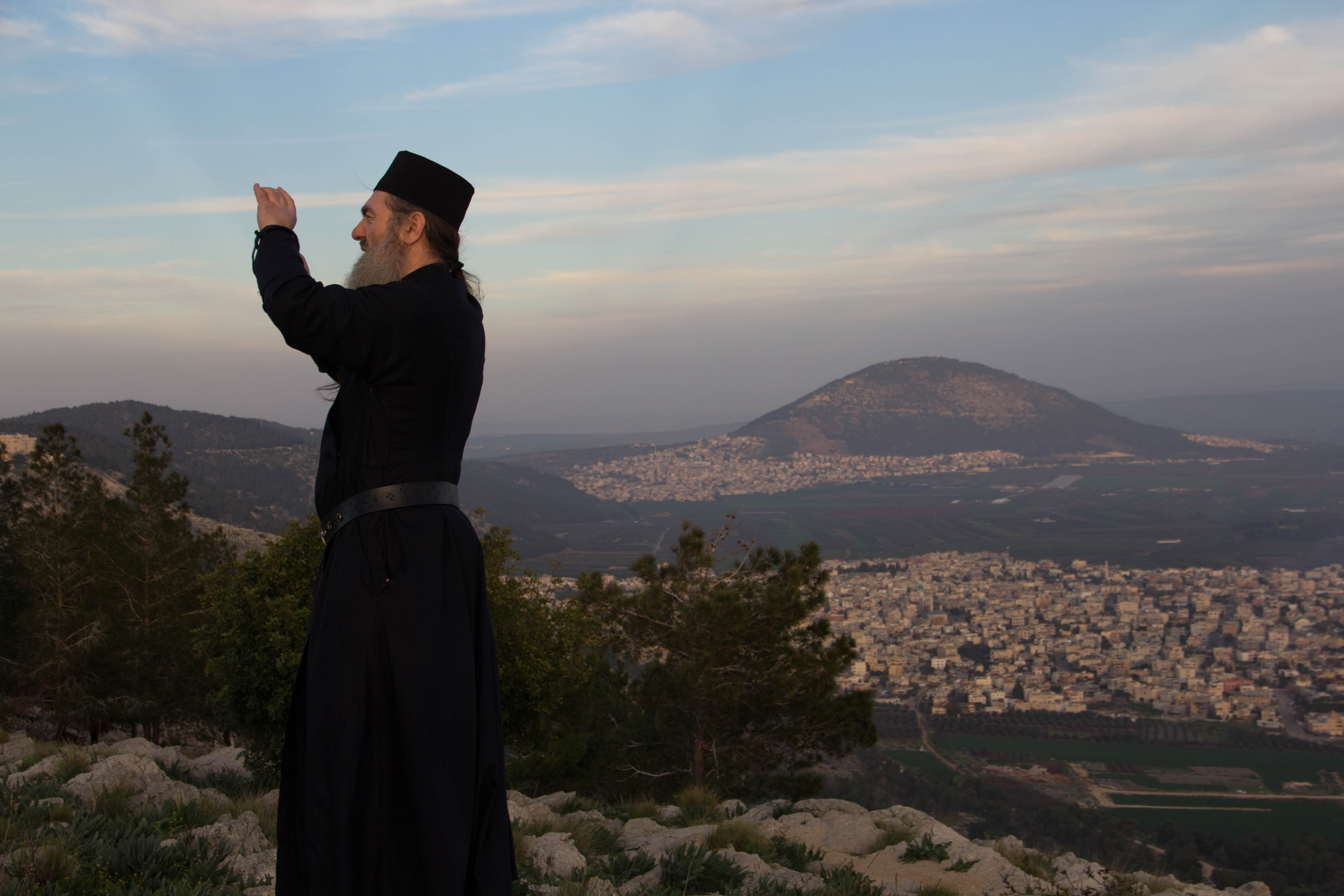
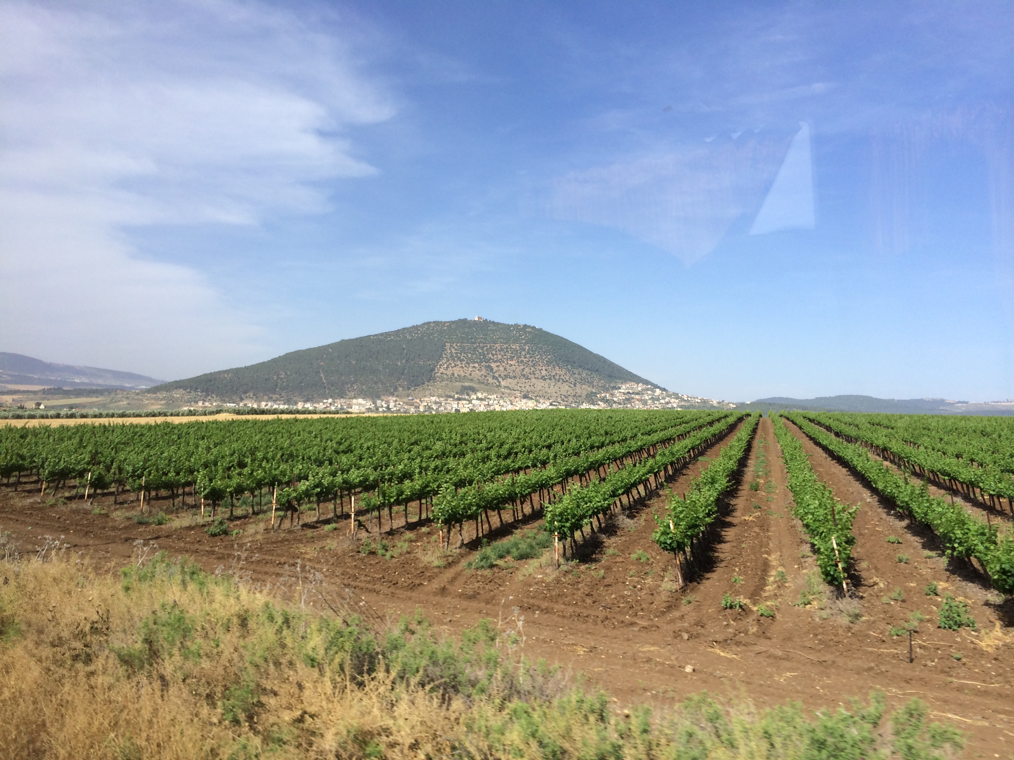
Mount Tabor
Can anything good come from Nazareth? I'd say a great view comes from Nazareth!
Nazareth. Approaching town from N.E. Virgin's fount in center of picture

Minor settlement and horizon
Waiting for that Taxi

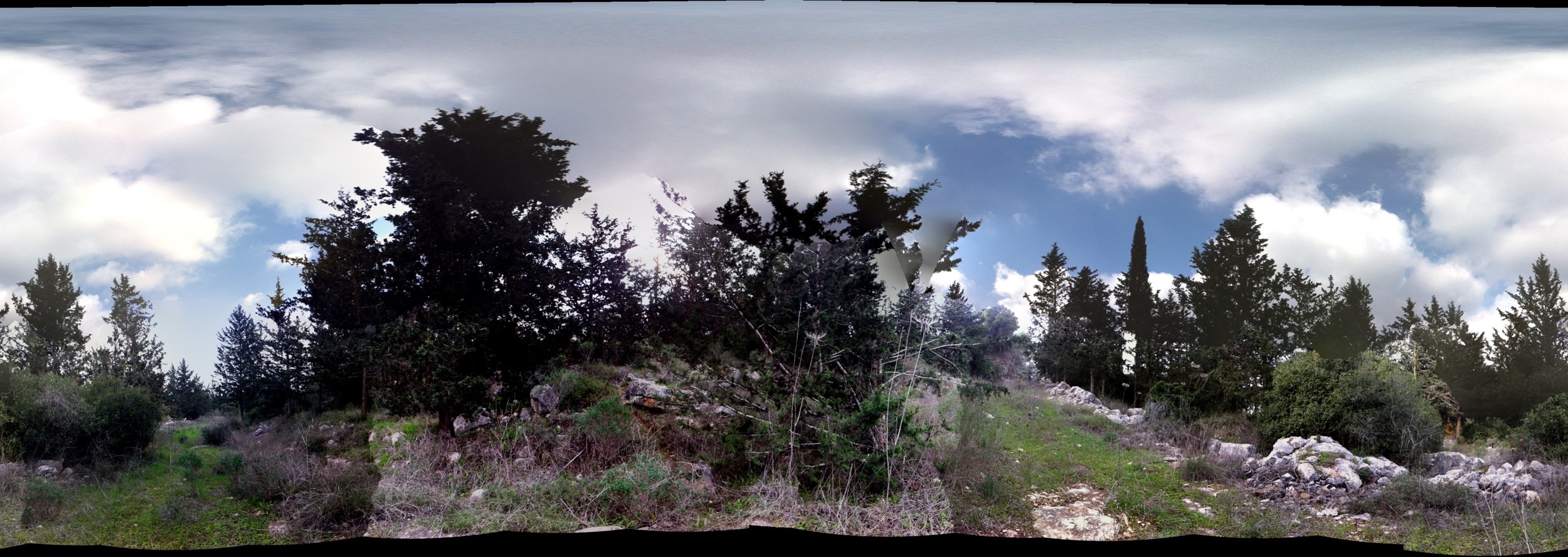
Colorful forest
On and on I keep singing my song
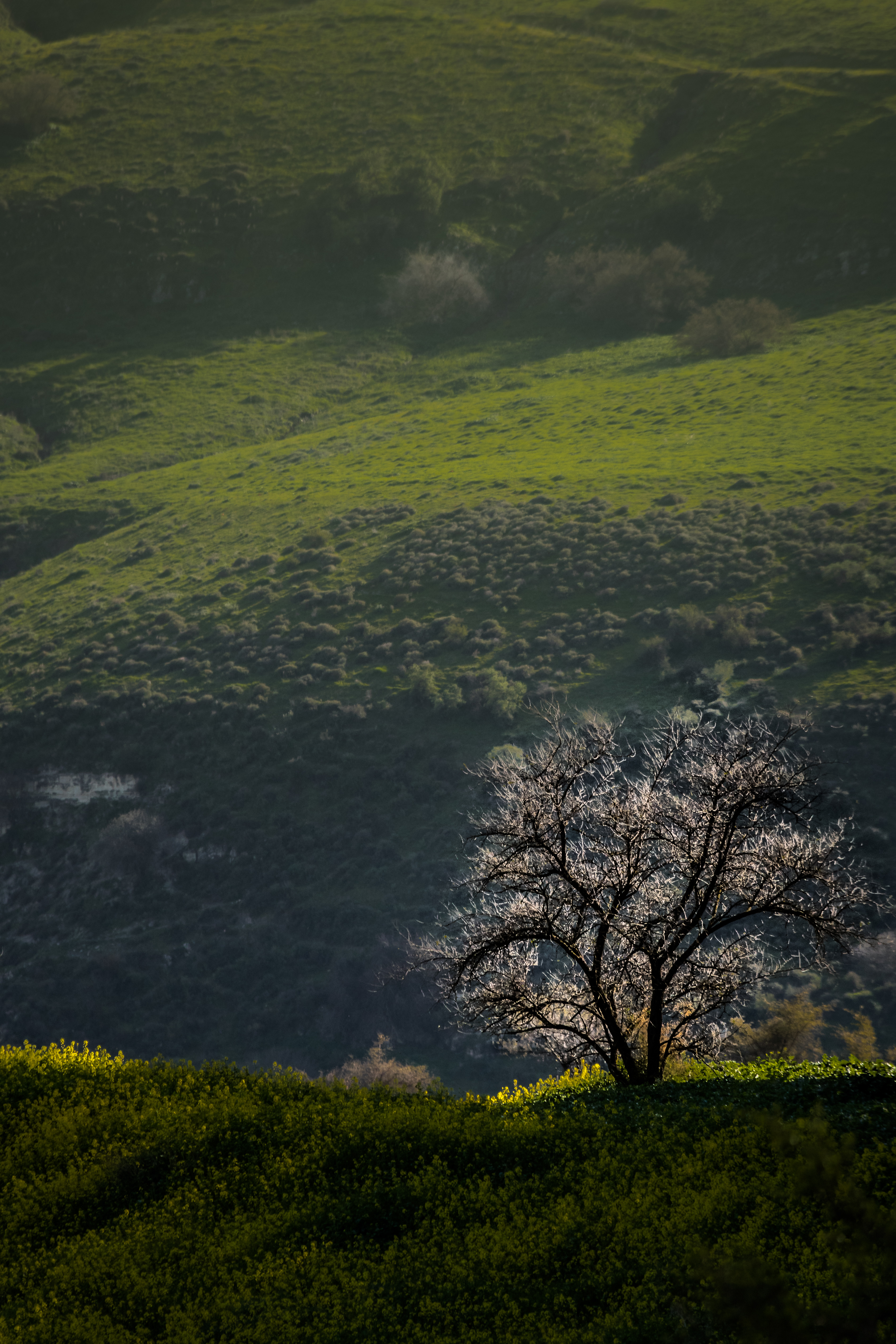
Lone tree

Sunset Panorama
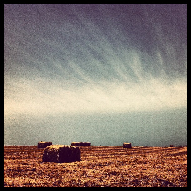
Sky & Bales
2011 Life-1
But you don't know what you've got 'til it's gone

Tiberias טבריה

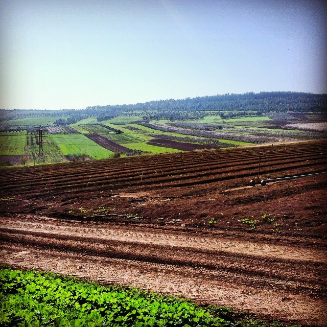
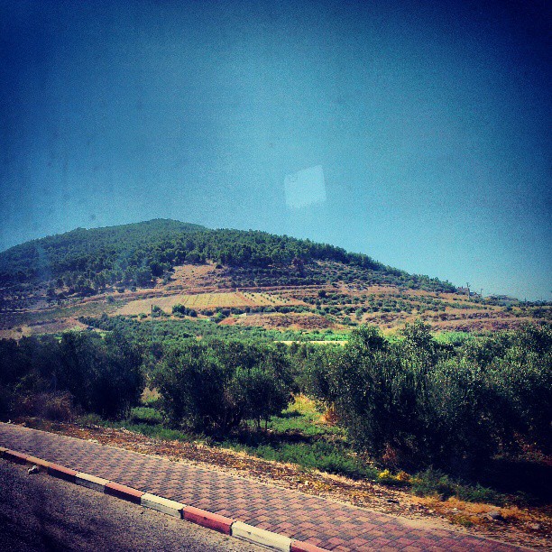
Fields in Galilee

Holy Land Trip 2/5 - 097
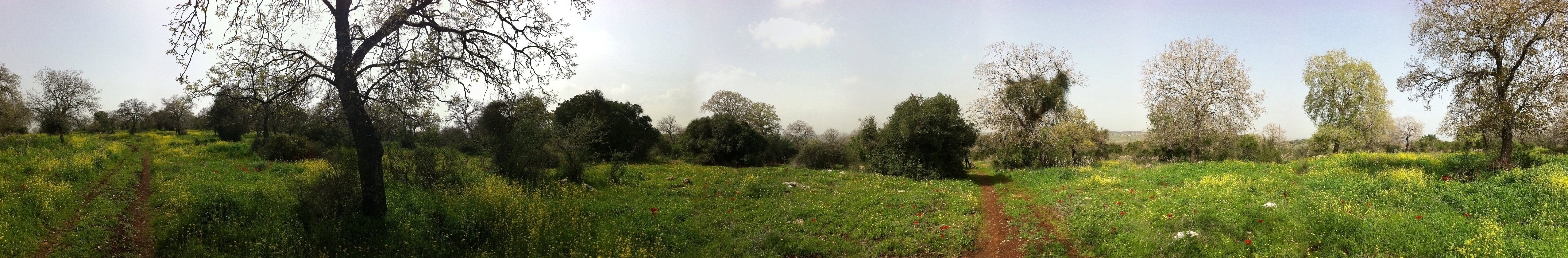
Mini-Hike to Solelim

Mosaic Scene
Nazareth Galilee
Mount Of Perecipice
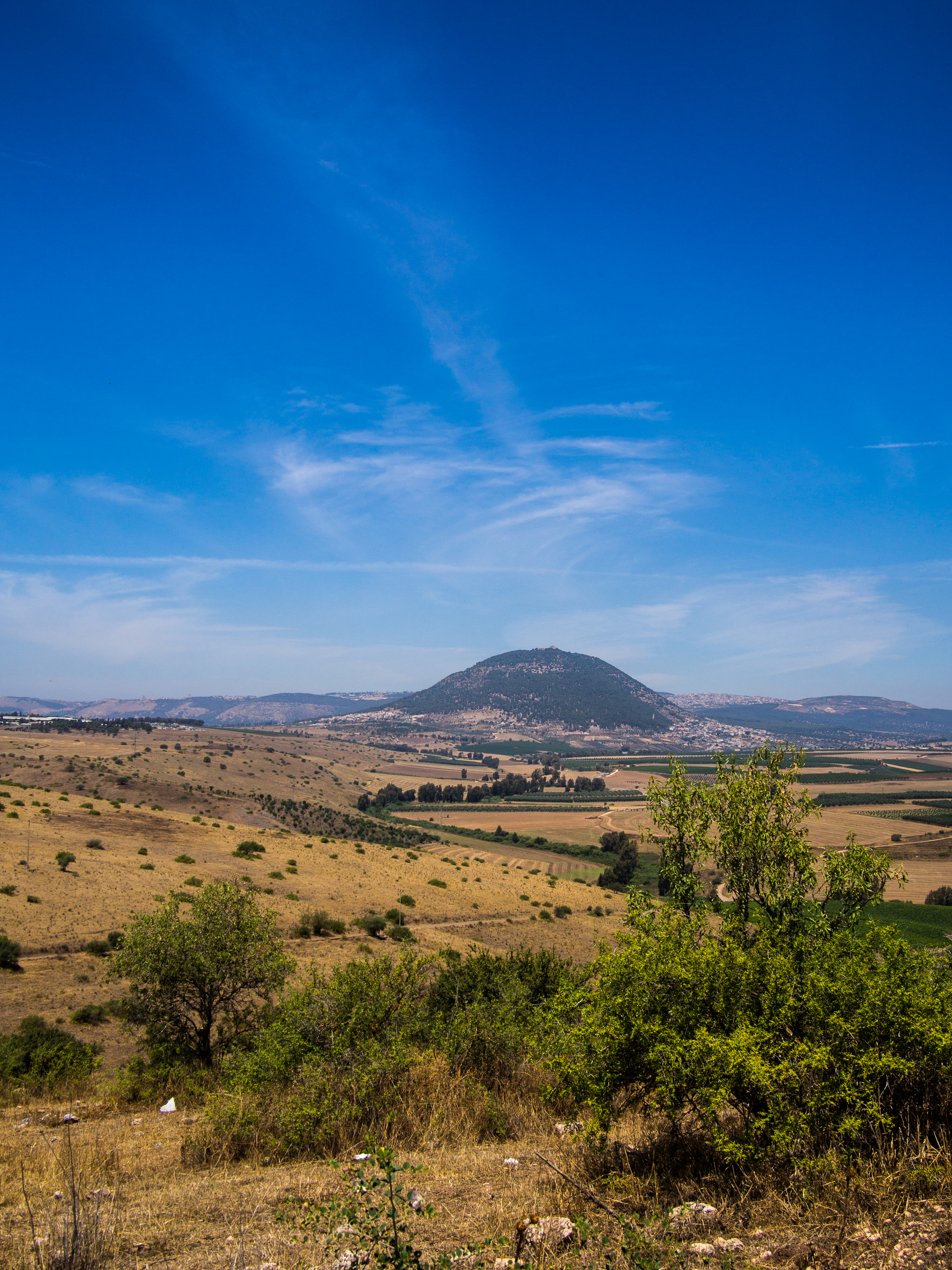
Mt. Tabor
Mount Carmel
Topographic Map of Kafr Kanna, Israel
Find elevation by address:

Places near Kafr Kanna, Israel:
The Wedding Church
Karkom Street
Yaqinton Street
Nof Hagalil
Yasmin St 32
Yasmin Street
Greek Orthodox Church Of The Annunciation
Nazareth
Basilica Of The Annunciation
St. Mary's Inn
Mitzpe Netofa
Nazareth-tir'an Mountains
Tsipori
Khirbet Qana
Giv'at Avni
Masad
Horns Of Hattin
Kfar Zeitim
Bethlehem Of Galilee
Lower Galilee
Recent Searches:
- Elevation of Corso Fratelli Cairoli, 35, Macerata MC, Italy
- Elevation of Tallevast Rd, Sarasota, FL, USA
- Elevation of 4th St E, Sonoma, CA, USA
- Elevation of Black Hollow Rd, Pennsdale, PA, USA
- Elevation of Oakland Ave, Williamsport, PA, USA
- Elevation of Pedrógão Grande, Portugal
- Elevation of Klee Dr, Martinsburg, WV, USA
- Elevation of Via Roma, Pieranica CR, Italy
- Elevation of Tavkvetili Mountain, Georgia
- Elevation of Hartfords Bluff Cir, Mt Pleasant, SC, USA