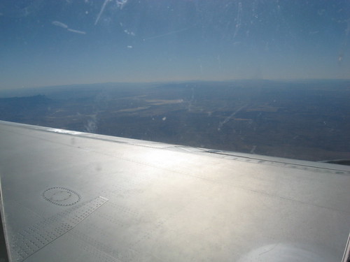
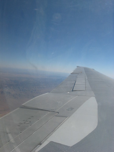
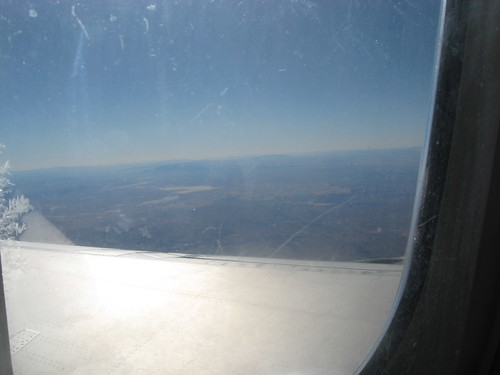
Elevation of The Rim North, New Mexico, USA
Location: United States > Texas > Dell City >
Longitude: -105.11972
Latitude: 32.4733333
Elevation: 2063m / 6768feet
Barometric Pressure: 79KPa
Related Photos:
Topographic Map of The Rim North, New Mexico, USA
Find elevation by address:

Places near The Rim North, New Mexico, USA:
2344 Nm-24
Hope
910 Badger St
Elk
Lechegilla Rd, Hope, NM, USA
Eddy County
7 Rivers Hwy, Artesia, NM, USA
7 Rivers Hwy, Artesia, NM, USA
68 China Berry Rd, Carlsbad, NM, USA
66 Dayton Rd, Artesia, NM, USA
704 S 17th St
Artesia
Pajarita Mountain
New Mexico State University Carlsbad
W Cottonwood Rd, Artesia, NM, USA
2520 Utah St
Vista Del Rio Apartments
Carlsbad
Lanco Contact Co
Tinnie
Recent Searches:
- Elevation of Corso Fratelli Cairoli, 35, Macerata MC, Italy
- Elevation of Tallevast Rd, Sarasota, FL, USA
- Elevation of 4th St E, Sonoma, CA, USA
- Elevation of Black Hollow Rd, Pennsdale, PA, USA
- Elevation of Oakland Ave, Williamsport, PA, USA
- Elevation of Pedrógão Grande, Portugal
- Elevation of Klee Dr, Martinsburg, WV, USA
- Elevation of Via Roma, Pieranica CR, Italy
- Elevation of Tavkvetili Mountain, Georgia
- Elevation of Hartfords Bluff Cir, Mt Pleasant, SC, USA


