Elevation of Dell City, TX, USA
Location: United States > Texas >
Longitude: -105.20134
Latitude: 31.9387239
Elevation: 1127m / 3697feet
Barometric Pressure: 88KPa
Elevation Map:
Satellite Map:
Related Photos:
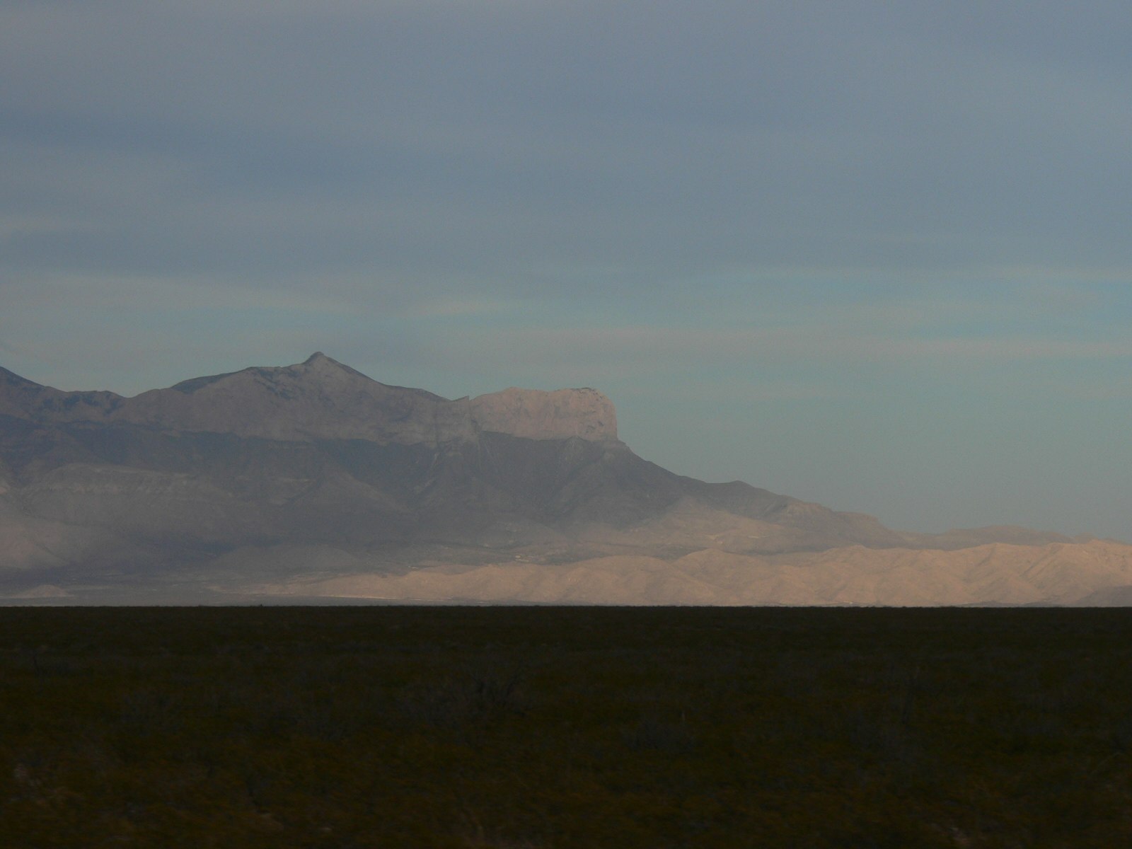
Guadalupe Peak
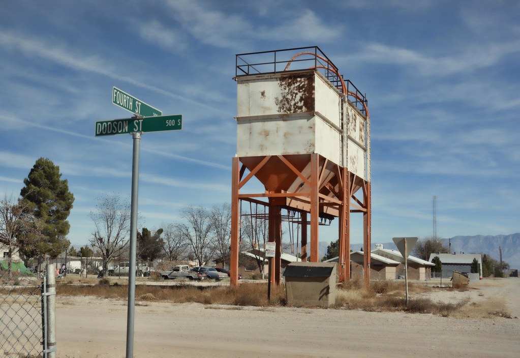
one block short of a fifth, on Dodson
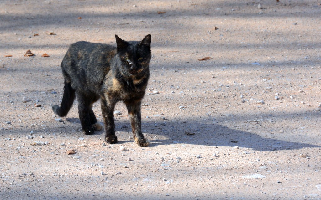
Dell City kitty
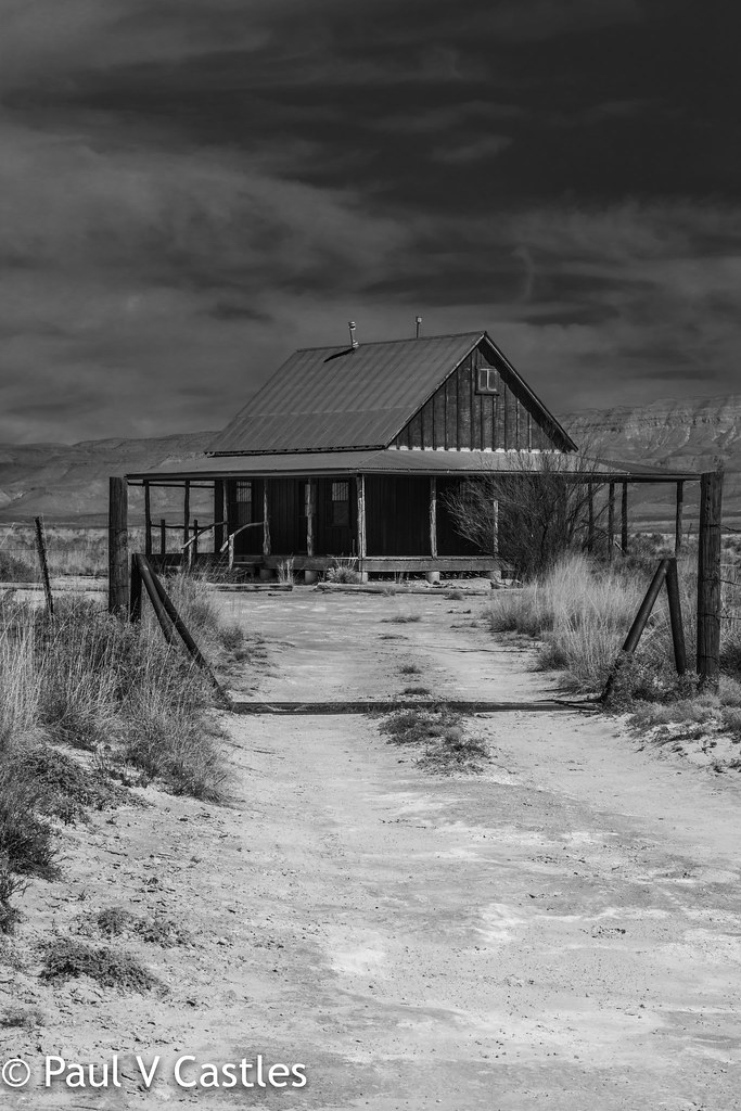
Desert Cabin

Tino Gamueda IV
Guadalupe flats-009
Guadalupe flats-010
Guadalupe flats-008

happy new year!
Black Friday in Dell City
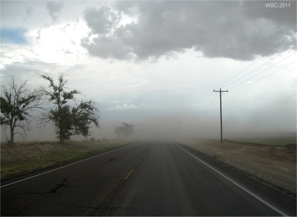
dust storm
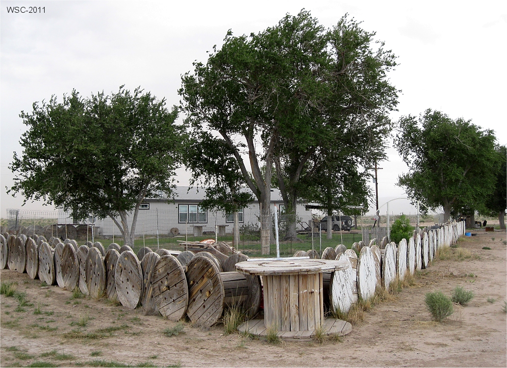
Cable spool fence
Topographic Map of Dell City, TX, USA
Find elevation by address:

Places in Dell City, TX, USA:
Places near Dell City, TX, USA:
Salt Flat
Bartlett Peak
Bush Mountain
Shumard Peak
Guadalupe Mountains National Park
Guadalupe Peak
Lost Peak
El Capitan
County Road G020
Dog Canyon Campground
Eddy County Hp
Pine Springs
Pine Springs
Camp Wilderness Ridge
Unnamed Road
Carlsbad Caverns National Park
Sierra Blanca
Us Border Patrol Checkpoint
Carlsbad Caverns National Park Visitor Center
Eagle Flat
Recent Searches:
- Elevation of Corso Fratelli Cairoli, 35, Macerata MC, Italy
- Elevation of Tallevast Rd, Sarasota, FL, USA
- Elevation of 4th St E, Sonoma, CA, USA
- Elevation of Black Hollow Rd, Pennsdale, PA, USA
- Elevation of Oakland Ave, Williamsport, PA, USA
- Elevation of Pedrógão Grande, Portugal
- Elevation of Klee Dr, Martinsburg, WV, USA
- Elevation of Via Roma, Pieranica CR, Italy
- Elevation of Tavkvetili Mountain, Georgia
- Elevation of Hartfords Bluff Cir, Mt Pleasant, SC, USA