Elevation of Eagle Flat, TX, USA
Location: United States > Texas > Hudspeth County >
Longitude: -105.13272
Latitude: 31.1098532
Elevation: 1359m / 4459feet
Barometric Pressure: 86KPa
Elevation Map:
Satellite Map:
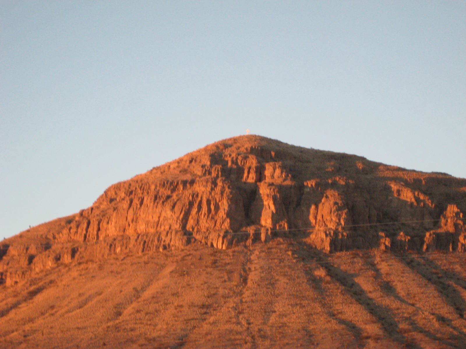
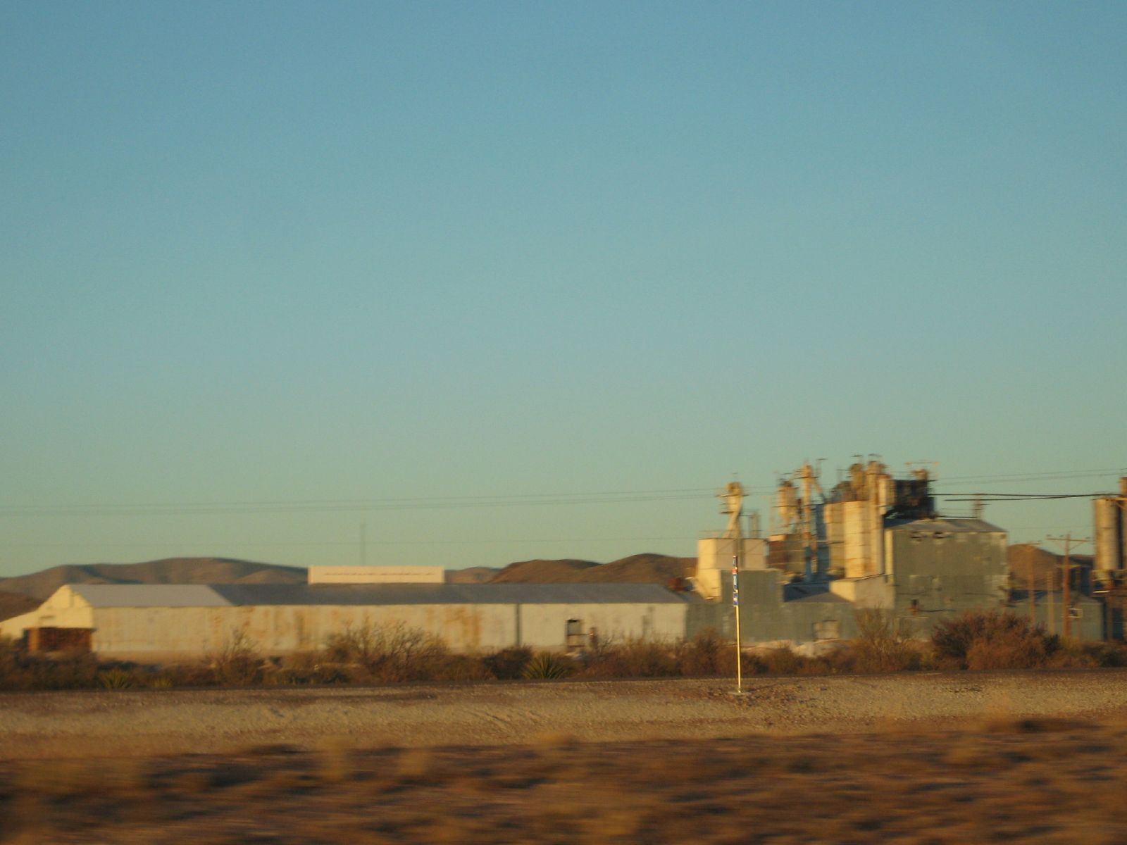
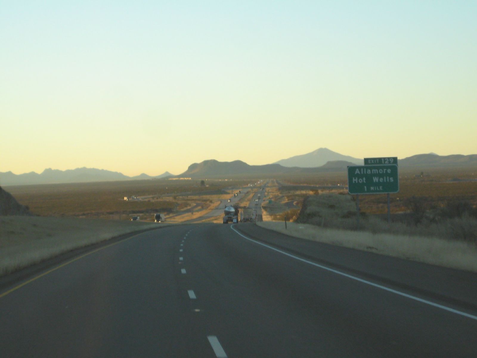
Related Photos:
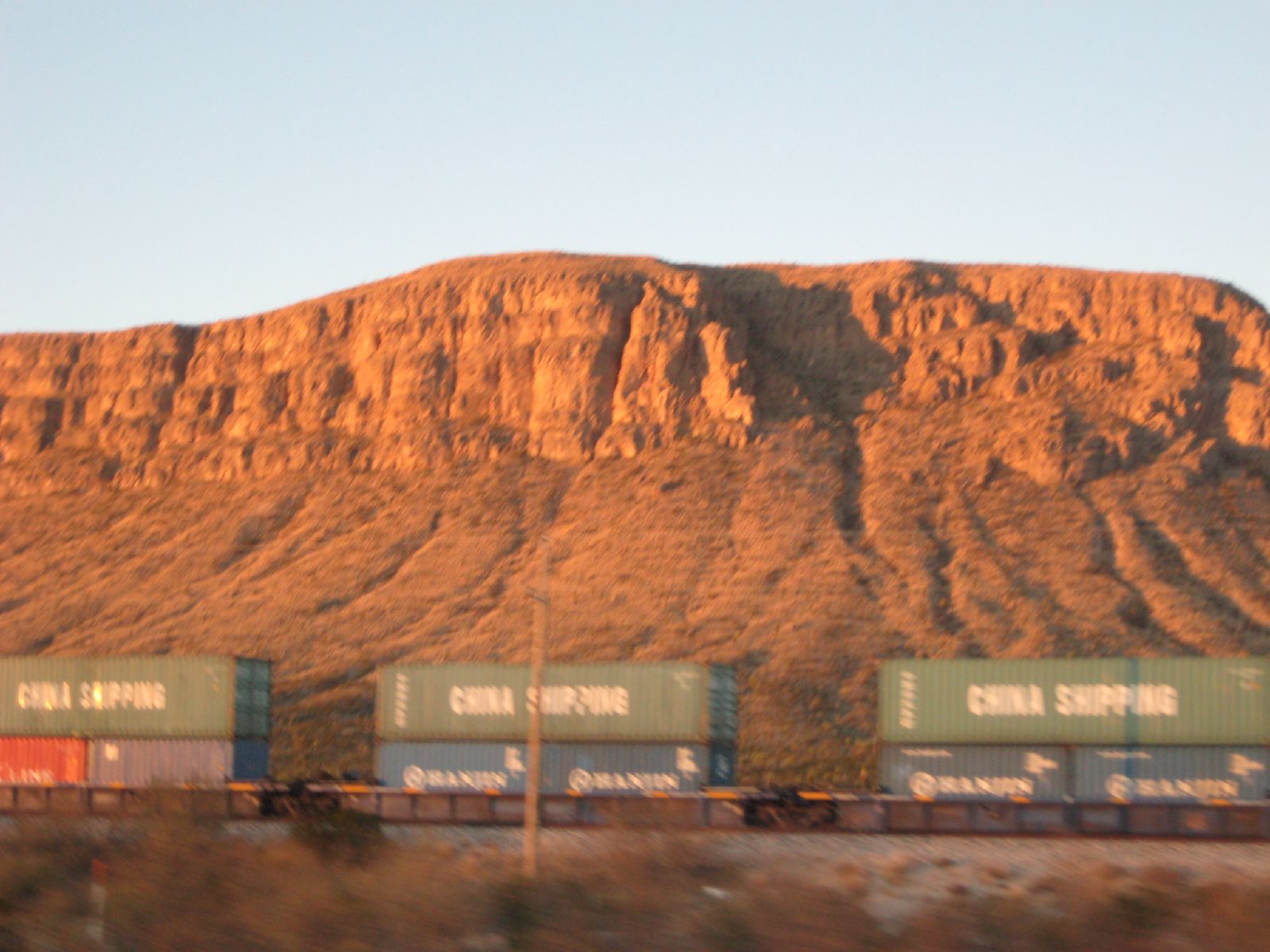
drvfrmOK 194
drvfrmOK 195

Mirrored Sunset

drvfrmOK 193
drvfrmOK 191

Where Eagles Once Flew
two towns to far
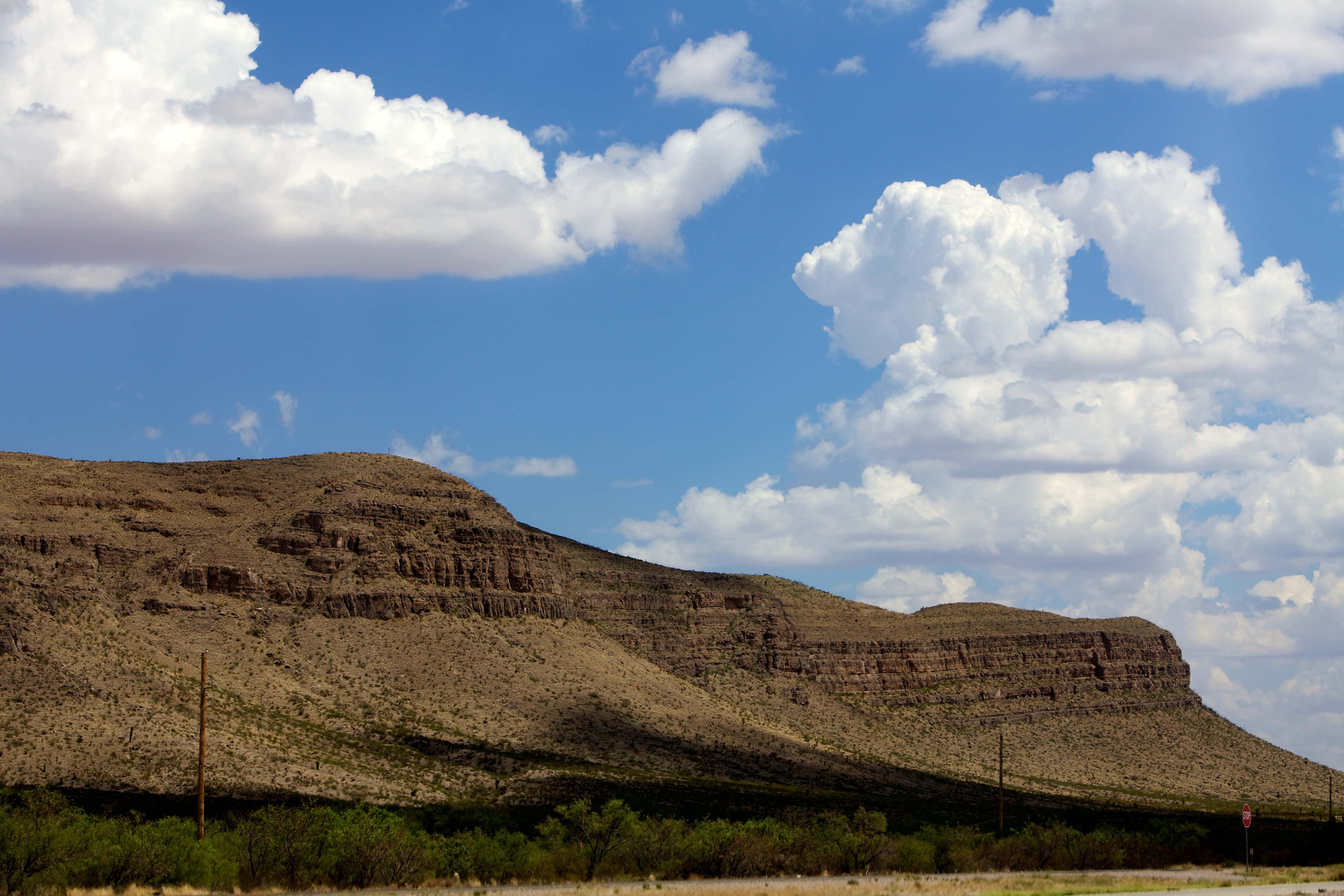
day16 634
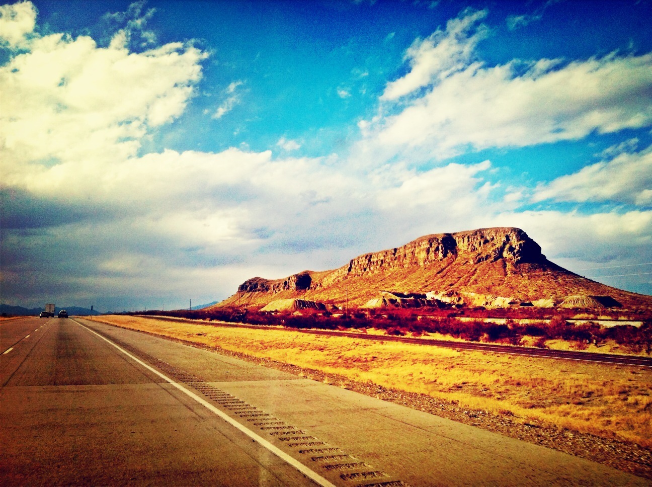
Lost in Texas
Topographic Map of Eagle Flat, TX, USA
Find elevation by address:

Places near Eagle Flat, TX, USA:
Allamoore
Sierra Blanca
1605 W Broadway St
Southern Star Rv Park
Us Border Patrol Checkpoint
300 Park Dr
Van Horn
Unnamed Road
Salt Flat
Culberson County
Boracho
El Capitan
Guadalupe Peak
Dell City
Shumard Peak
Pine Springs
Bartlett Peak
Pine Springs
Guadalupe Mountains National Park
Bush Mountain
Recent Searches:
- Elevation of Corso Fratelli Cairoli, 35, Macerata MC, Italy
- Elevation of Tallevast Rd, Sarasota, FL, USA
- Elevation of 4th St E, Sonoma, CA, USA
- Elevation of Black Hollow Rd, Pennsdale, PA, USA
- Elevation of Oakland Ave, Williamsport, PA, USA
- Elevation of Pedrógão Grande, Portugal
- Elevation of Klee Dr, Martinsburg, WV, USA
- Elevation of Via Roma, Pieranica CR, Italy
- Elevation of Tavkvetili Mountain, Georgia
- Elevation of Hartfords Bluff Cir, Mt Pleasant, SC, USA