Elevation of Pajarita Mountain, New Mexico, USA
Location: United States > New Mexico > Mescalero >
Longitude: -105.42998
Latitude: 33.2367578
Elevation: 2195m / 7201feet
Barometric Pressure: 78KPa
Elevation Map:
Satellite Map:
Related Photos:
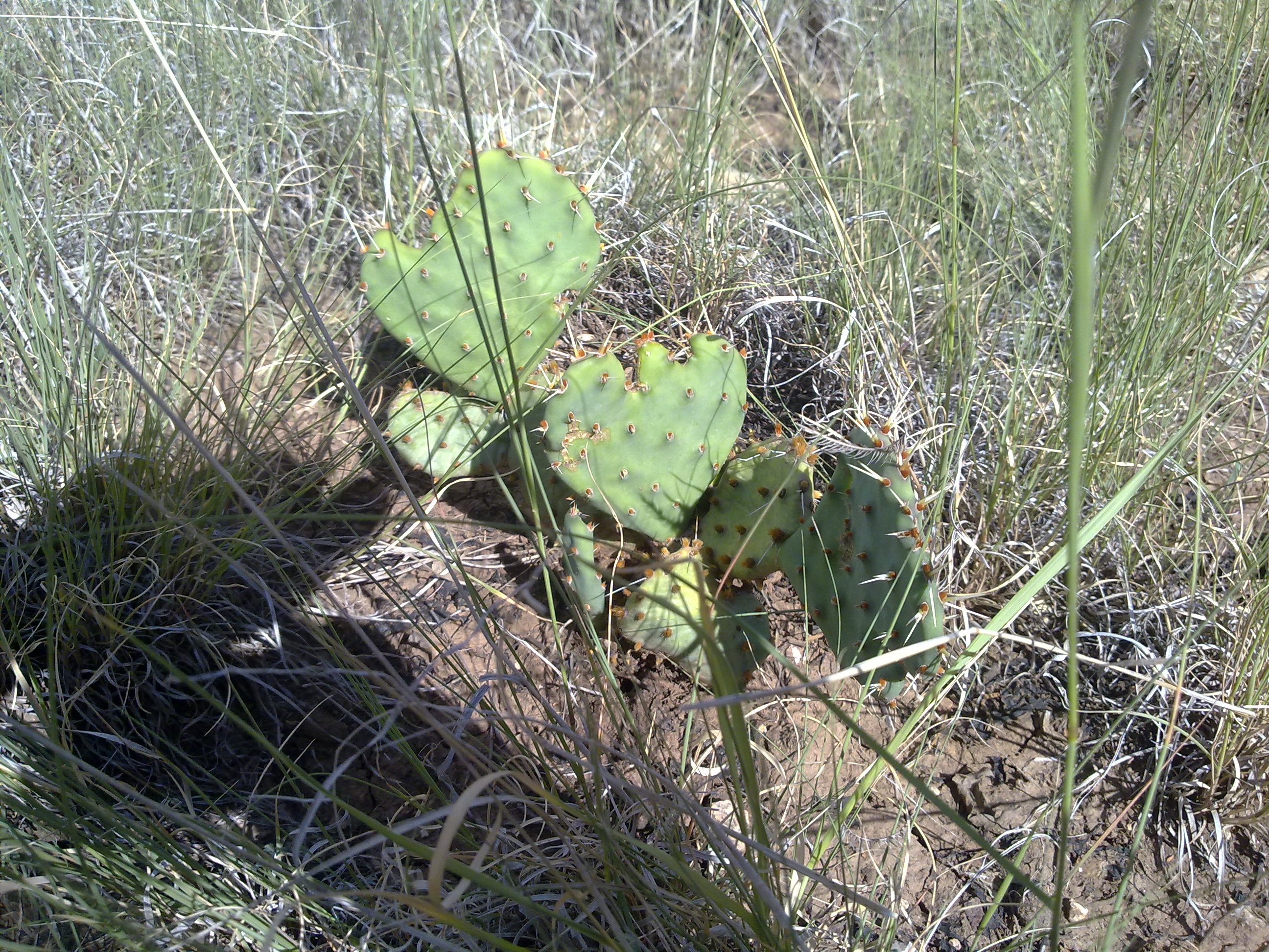
08222009376
Topographic Map of Pajarita Mountain, New Mexico, USA
Find elevation by address:

Places near Pajarita Mountain, New Mexico, USA:
Glencoe
San Patricio
Rio Bonito
Hondo
28681 Us-70
Tinnie
Lincoln
9666 Us-380
Elk
Capitan Mountains Hp
Capitan Peak
Sunset Peak
2344 Nm-24
Lechegilla Rd, Hope, NM, USA
Hope
910 Badger St
The Rim North
Roswell International Air Center
308 S Union Ave
6 Hillcrest St
Recent Searches:
- Elevation of Corso Fratelli Cairoli, 35, Macerata MC, Italy
- Elevation of Tallevast Rd, Sarasota, FL, USA
- Elevation of 4th St E, Sonoma, CA, USA
- Elevation of Black Hollow Rd, Pennsdale, PA, USA
- Elevation of Oakland Ave, Williamsport, PA, USA
- Elevation of Pedrógão Grande, Portugal
- Elevation of Klee Dr, Martinsburg, WV, USA
- Elevation of Via Roma, Pieranica CR, Italy
- Elevation of Tavkvetili Mountain, Georgia
- Elevation of Hartfords Bluff Cir, Mt Pleasant, SC, USA