Elevation of Mescalero, NM, USA
Location: United States > New Mexico >
Longitude: -105.77415
Latitude: 33.1575854
Elevation: 2016m / 6614feet
Barometric Pressure: 79KPa
Elevation Map:
Satellite Map:
Related Photos:
Lincoln national Forest, New Mexico
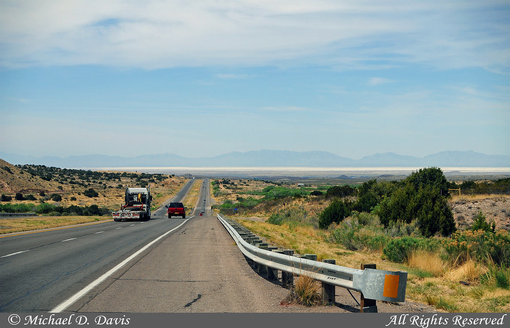
White Sands National Monument
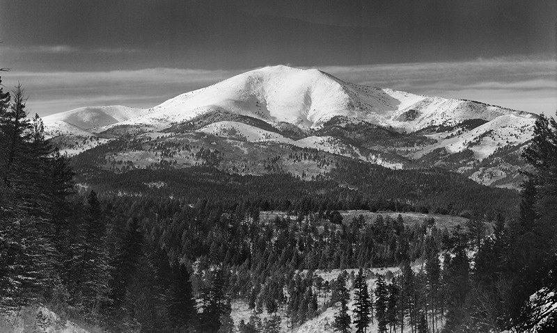
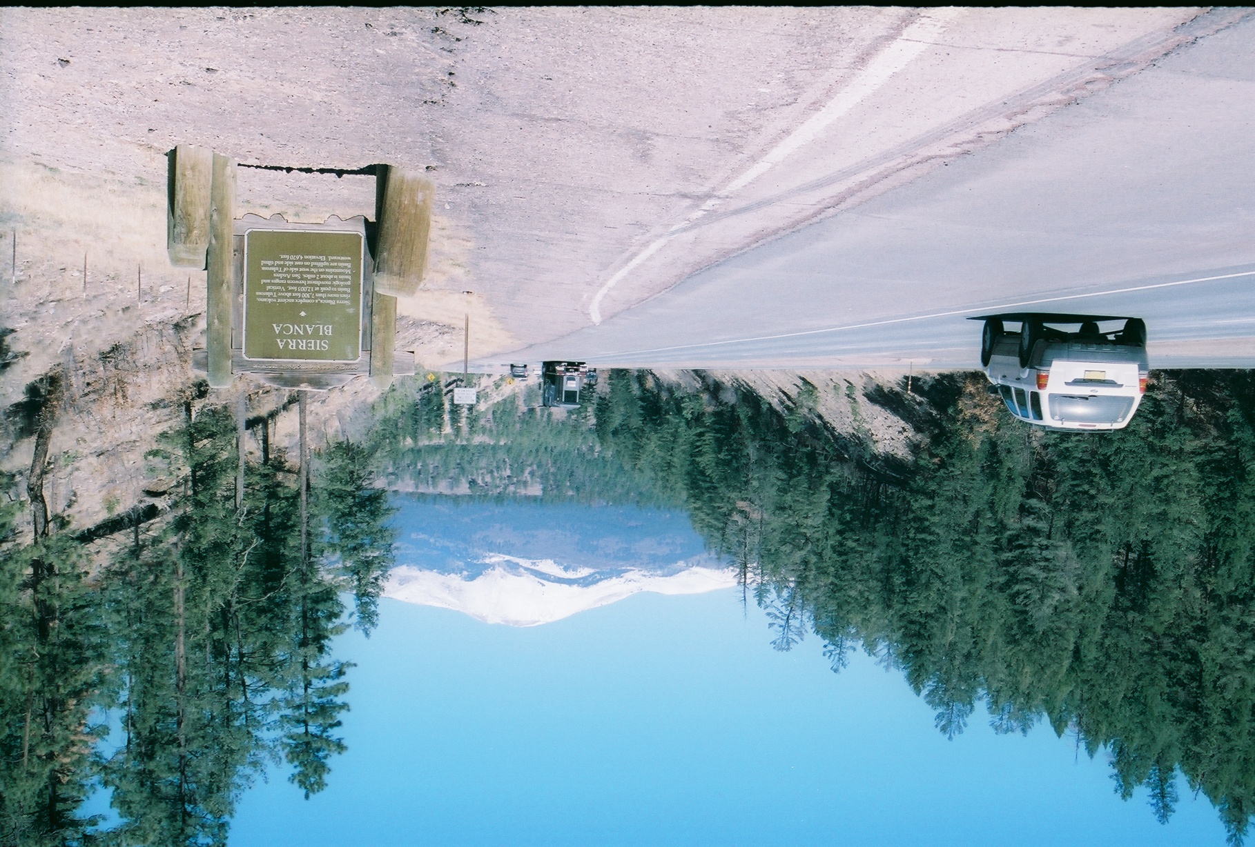
Sierra Blanca
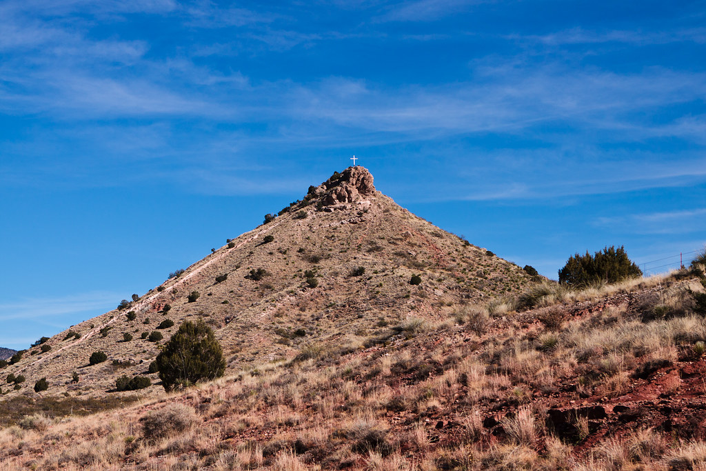
Lone Mount
No animals were hurt or destroyed during the development of these Picts and please remember these are untrained amateurs so please kids try all of this at home unless you jst a little nancy girl or a skeerdy kat.
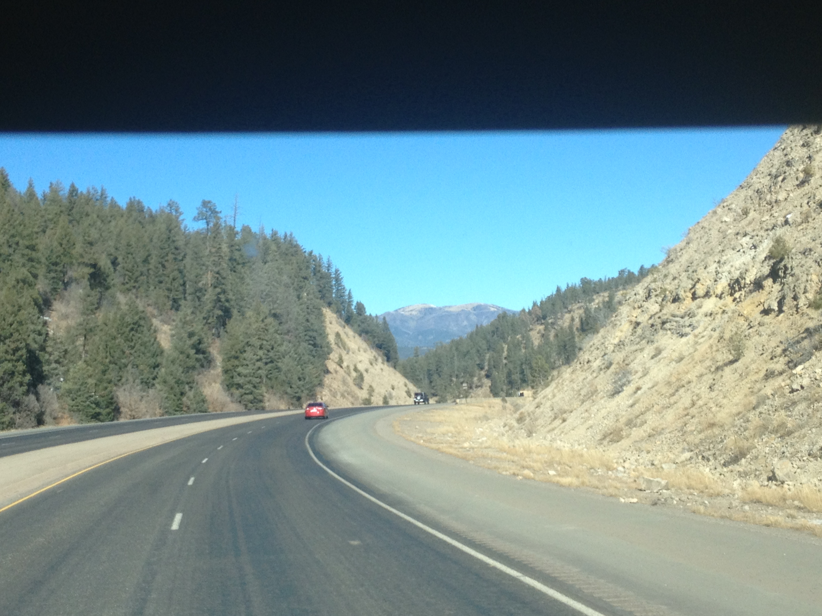
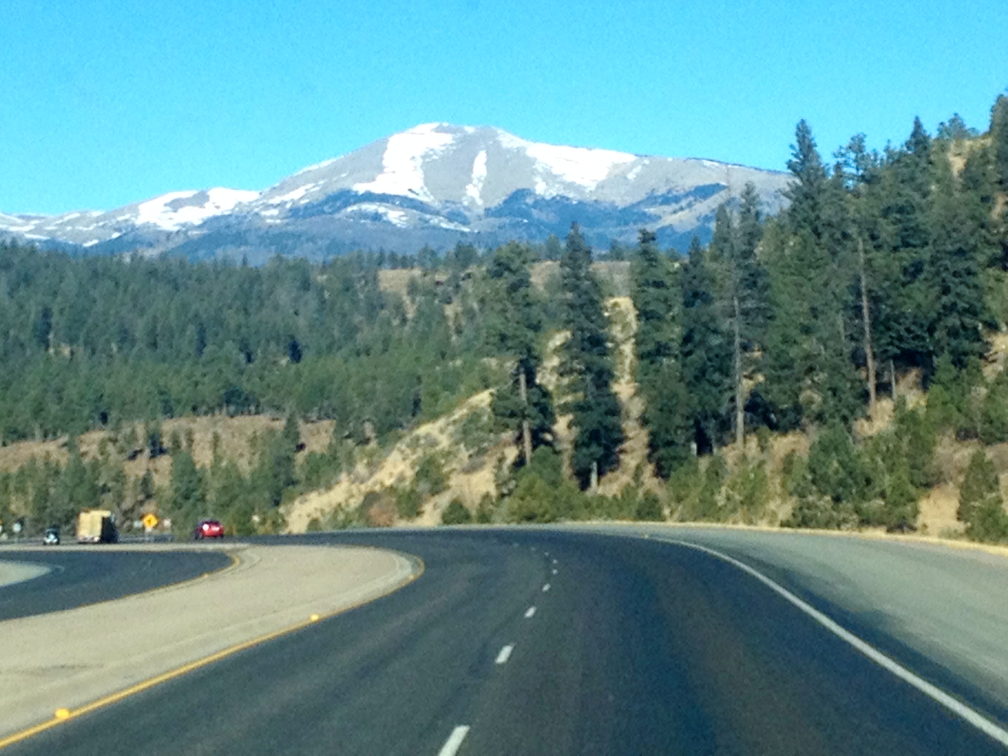
Road to the Top
No animals were hurt or destroyed during the development of these Picts and please remember these are untrained amateurs so please kids try all of this at home unless you jst a little nancy girl or a skeerdy kat.
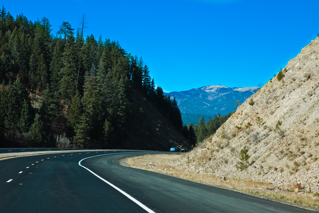
Coming 'Round the Mountain
No animals were hurt or destroyed during the development of these Picts and please remember these are untrained amateurs so please kids try all of this at home unless you jst a little nancy girl or a skeerdy kat.

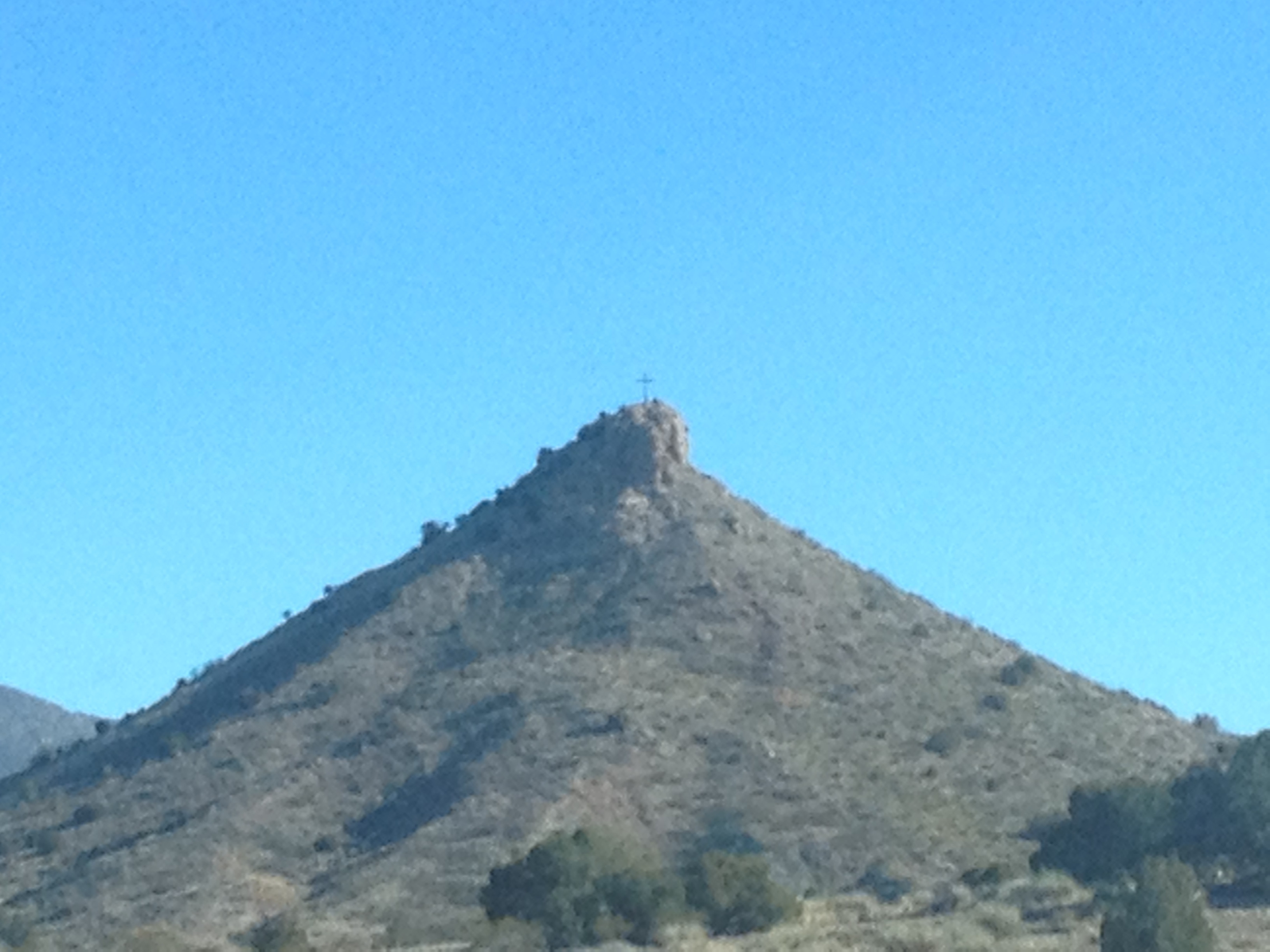
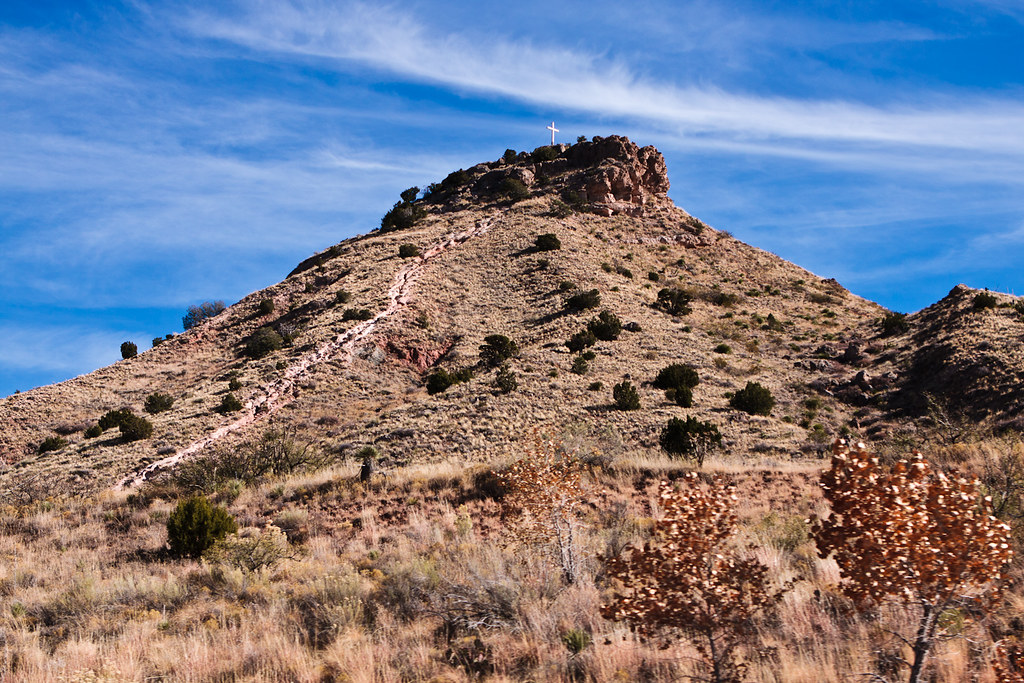
Mountain Worship
Topographic Map of Mescalero, NM, USA
Find elevation by address:

Places in Mescalero, NM, USA:
Black Mountain South
Black Mountain North
Sierra Blanca Peak
Pajarita Mountain
Chatto Dr, Mescalero, NM, USA
Places near Mescalero, NM, USA:
199 Nogal Canyon Rd
Bent
Chatto Dr, Mescalero, NM, USA
Santa Barbara Trail
287 Carrizo Canyon Rd
Inn Of The Mountain Gods Resort & Casino
5 Bear Grass Rd
32 Bear Grass Rd
Kenney Peak
658 Laborcita Canyon Rd
Wofford Lookout
Black Mountain South
25845 Us-70
Black Mountain North
30 Miwok Way
103 Abbey Pl
Burro Flats Road
528 Mountain High Circle
504 Excalibur Rd
Avalon Court
Recent Searches:
- Elevation of Corso Fratelli Cairoli, 35, Macerata MC, Italy
- Elevation of Tallevast Rd, Sarasota, FL, USA
- Elevation of 4th St E, Sonoma, CA, USA
- Elevation of Black Hollow Rd, Pennsdale, PA, USA
- Elevation of Oakland Ave, Williamsport, PA, USA
- Elevation of Pedrógão Grande, Portugal
- Elevation of Klee Dr, Martinsburg, WV, USA
- Elevation of Via Roma, Pieranica CR, Italy
- Elevation of Tavkvetili Mountain, Georgia
- Elevation of Hartfords Bluff Cir, Mt Pleasant, SC, USA