Elevation of The Dardanelles West, California, USA
Location: United States > California > Arnold >
Longitude: -119.9136111
Latitude: 38.3958333
Elevation: 2686m / 8812feet
Barometric Pressure: 0KPa
Related Photos:

dangling participle

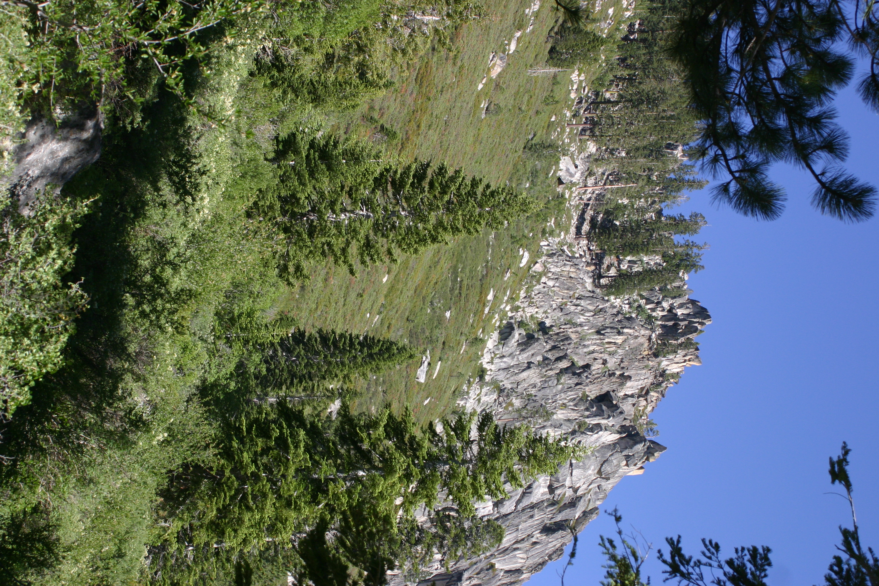
Peaks East of Bull Run Lake
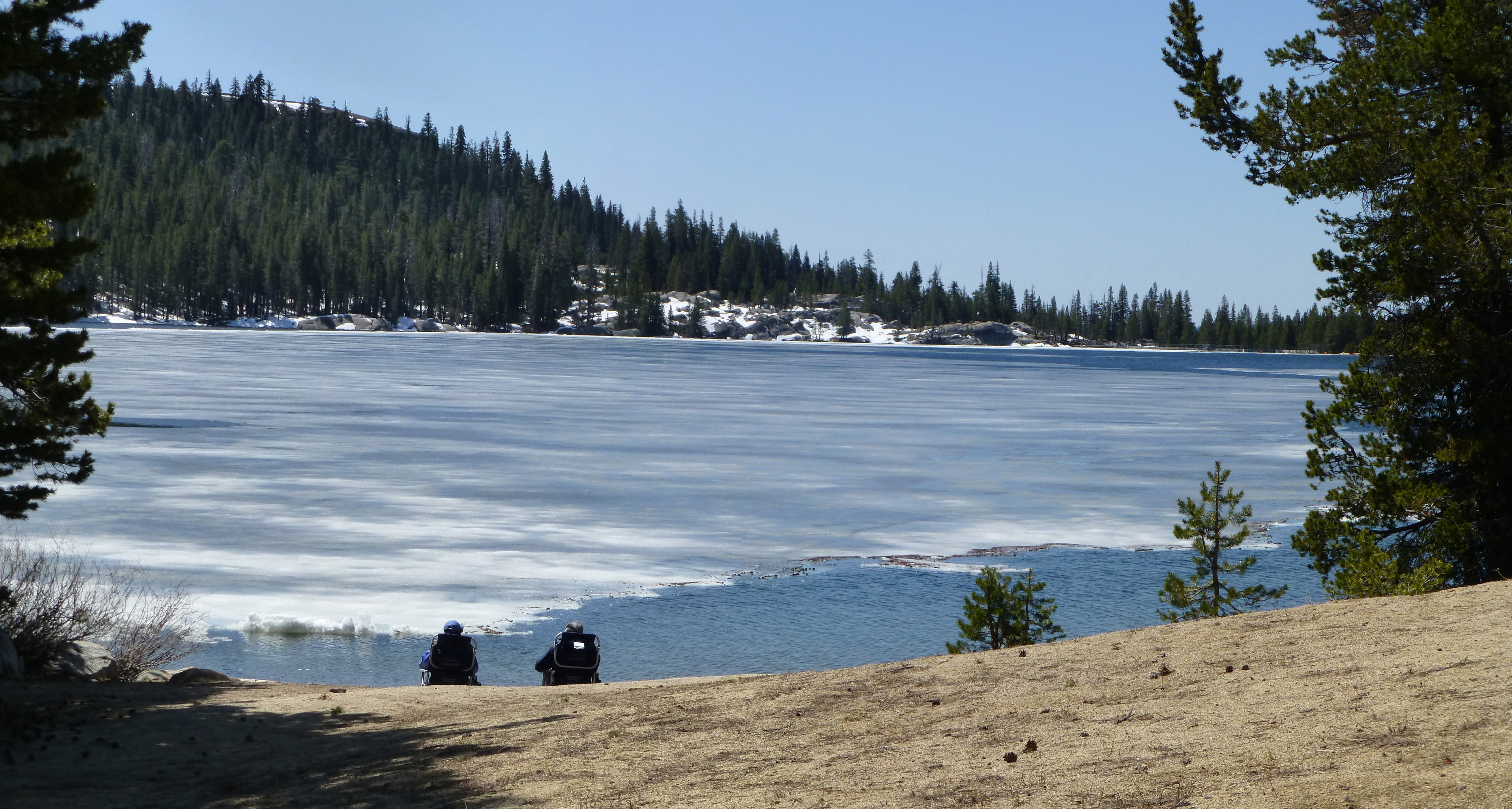
Ice View

View of Stanislaus Wilderness

A view at the top

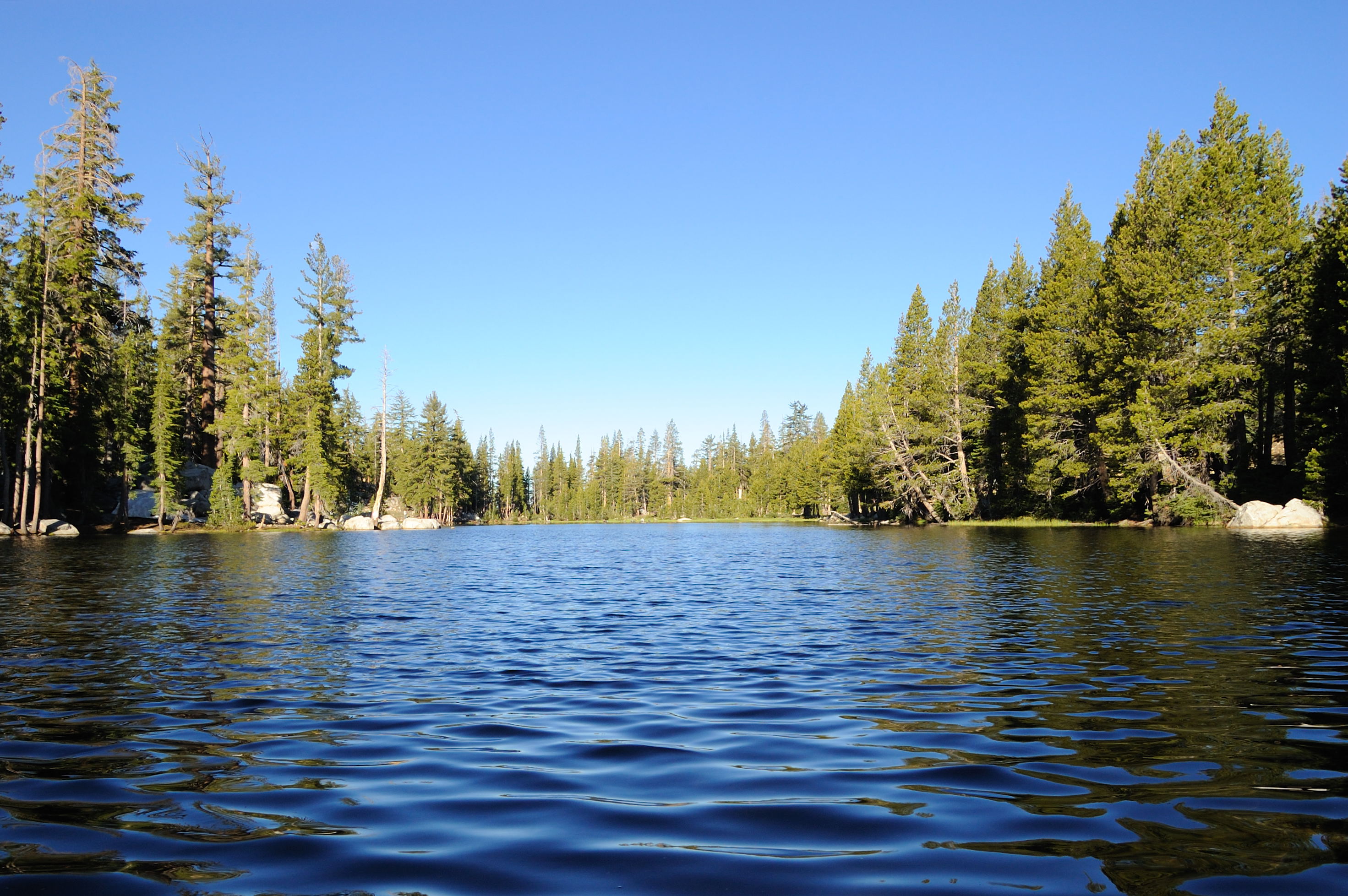
View above Bull Run Lake
Elephant Rock Lake View
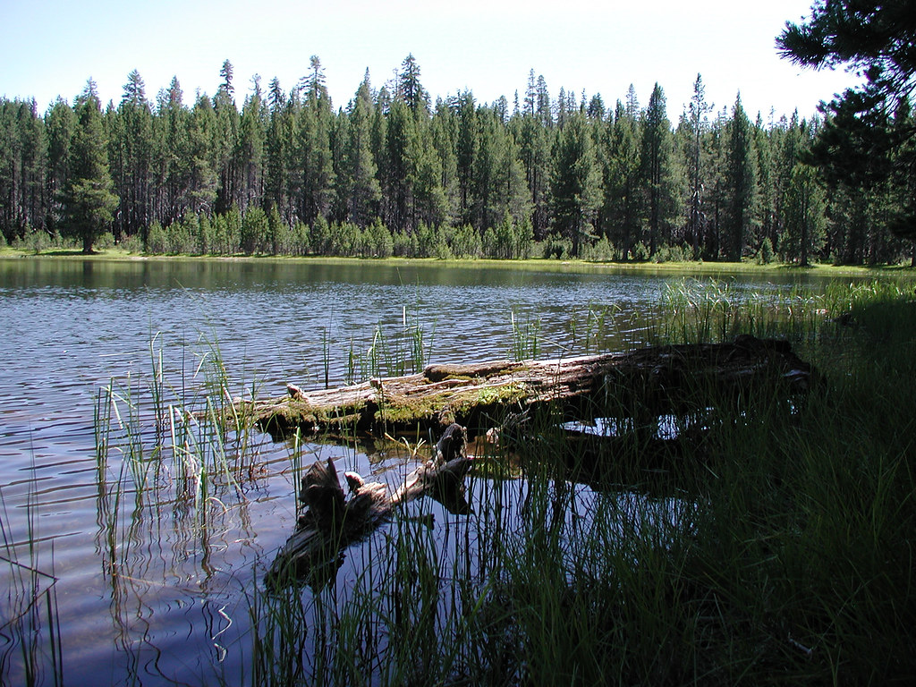
View of Mosquito Lake from down low
Glacier Point

campsite view too
Topographic Map of The Dardanelles West, California, USA
Find elevation by address:

Places near The Dardanelles West, California, USA:
The Dardanelles North
Bull Run Peak
Utica Reservoir
Dardanelle
Iceberg Peak
Clark Fork Campground
Airola Peak
Peep Sight Peak
Bald Peak
Folger Peak
1937 Alpine State Hwy
118 Creekside Dr
Eagle Meadow Road
Bear Valley
CA-4, Arnold, CA, USA
Homestead Road
Castle Rock
Little Buck Road
Tamarack
Stanislaus National Forest
Recent Searches:
- Elevation of 10370, West 107th Circle, Westminster, Jefferson County, Colorado, 80021, USA
- Elevation of 611, Roman Road, Old Ford, Bow, London, England, E3 2RW, United Kingdom
- Elevation of 116, Beartown Road, Underhill, Chittenden County, Vermont, 05489, USA
- Elevation of Window Rock, Colfax County, New Mexico, 87714, USA
- Elevation of 4807, Rosecroft Street, Kempsville Gardens, Virginia Beach, Virginia, 23464, USA
- Elevation map of Matawinie, Quebec, Canada
- Elevation of Sainte-Émélie-de-l'Énergie, Matawinie, Quebec, Canada
- Elevation of Rue du Pont, Sainte-Émélie-de-l'Énergie, Matawinie, Quebec, J0K2K0, Canada
- Elevation of 8, Rue de Bécancour, Blainville, Thérèse-De Blainville, Quebec, J7B1N2, Canada
- Elevation of Wilmot Court North, 163, University Avenue West, Northdale, Waterloo, Region of Waterloo, Ontario, N2L6B6, Canada
- Elevation map of Panamá Province, Panama
- Elevation of Balboa, Panamá Province, Panama
- Elevation of San Miguel, Balboa, Panamá Province, Panama
- Elevation of Isla Gibraleón, San Miguel, Balboa, Panamá Province, Panama
- Elevation of 4655, Krischke Road, Schulenburg, Fayette County, Texas, 78956, USA
- Elevation of Carnegie Avenue, Downtown Cleveland, Cleveland, Cuyahoga County, Ohio, 44115, USA
- Elevation of Walhonding, Coshocton County, Ohio, USA
- Elevation of Clifton Down, Clifton, Bristol, City of Bristol, England, BS8 3HU, United Kingdom
- Elevation map of Auvergne-Rhône-Alpes, France
- Elevation map of Upper Savoy, Auvergne-Rhône-Alpes, France