Elevation of CA-4, Arnold, CA, USA
Location: United States > California > Arnold >
Longitude: -120.065927
Latitude: 38.44612
Elevation: 2107m / 6913feet
Barometric Pressure: 0KPa
Related Photos:
Wish you all a very happy new year 2012
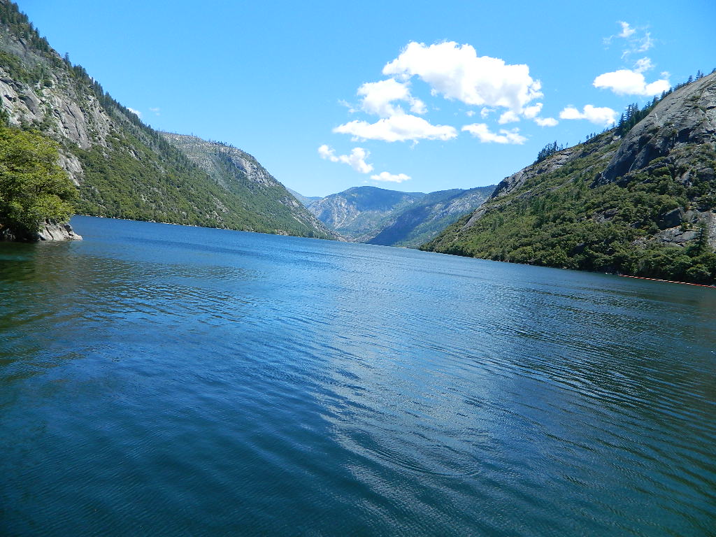
Salt Springs Reservoir
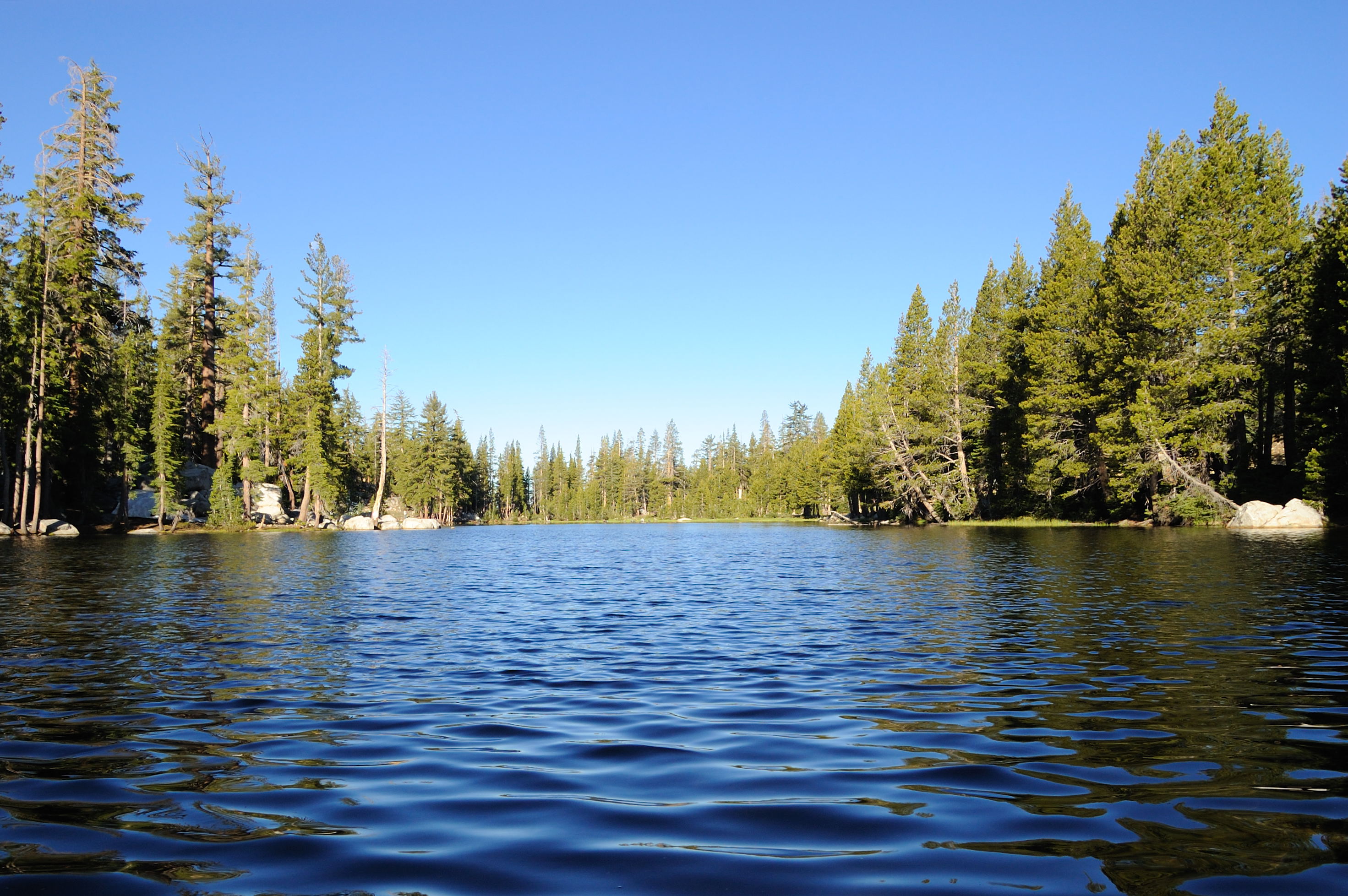
View of Mosquito Lake from down low
The view from Ebbett's Pass
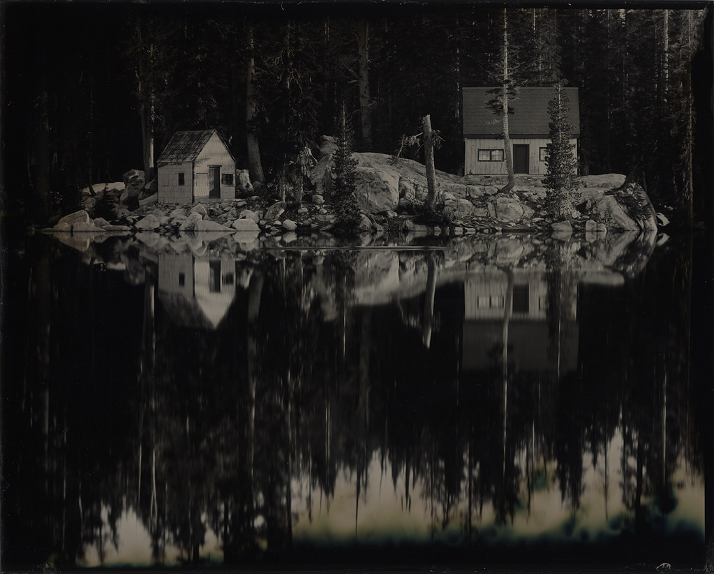
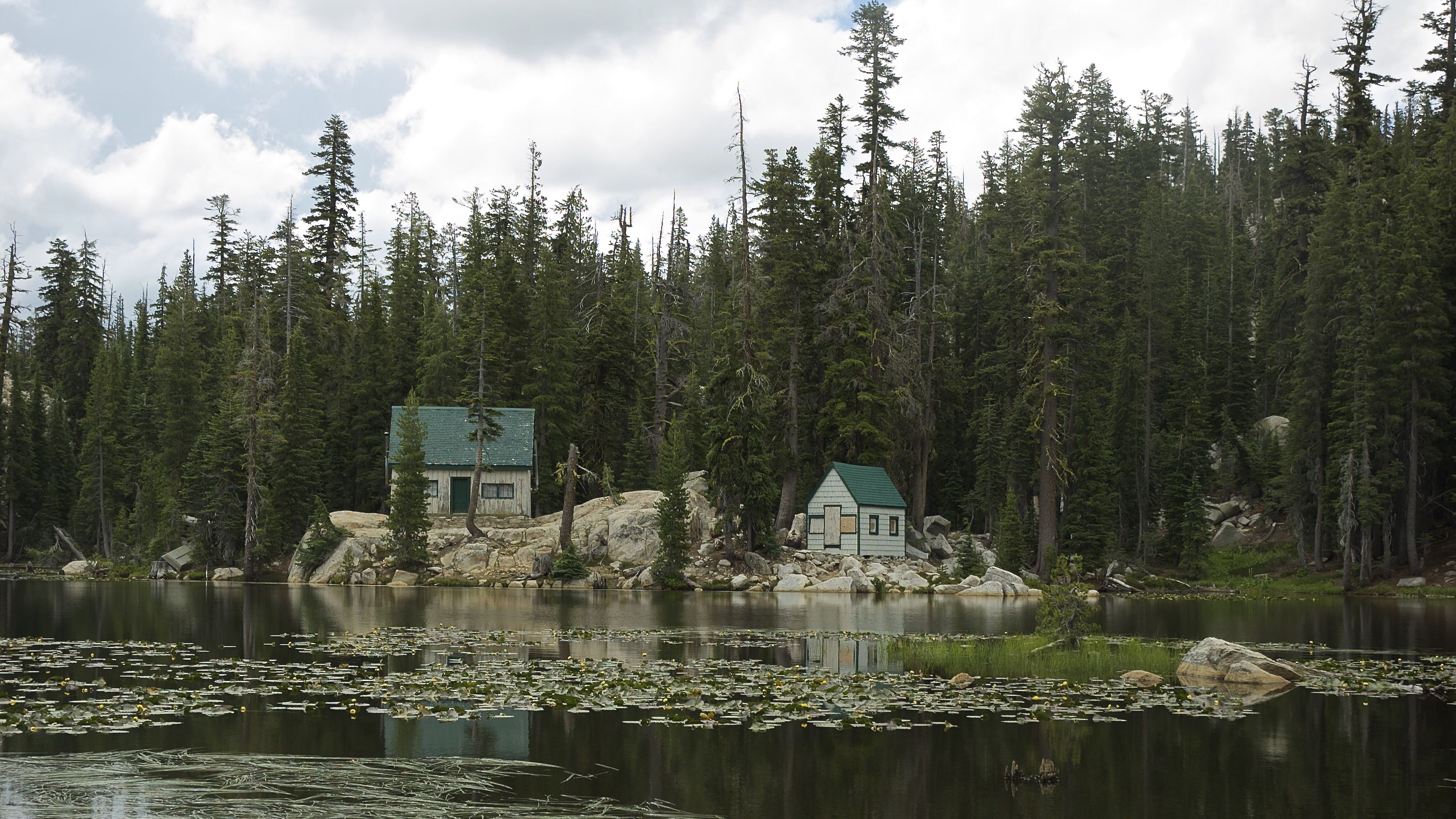
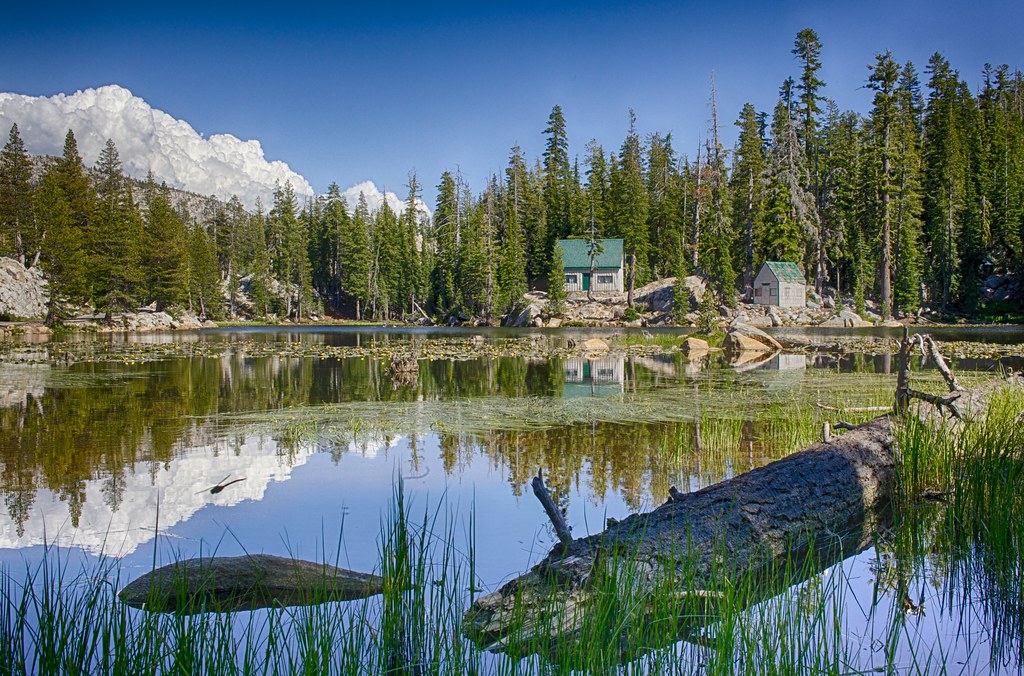
Two Cabins: Wet Plate Collodion
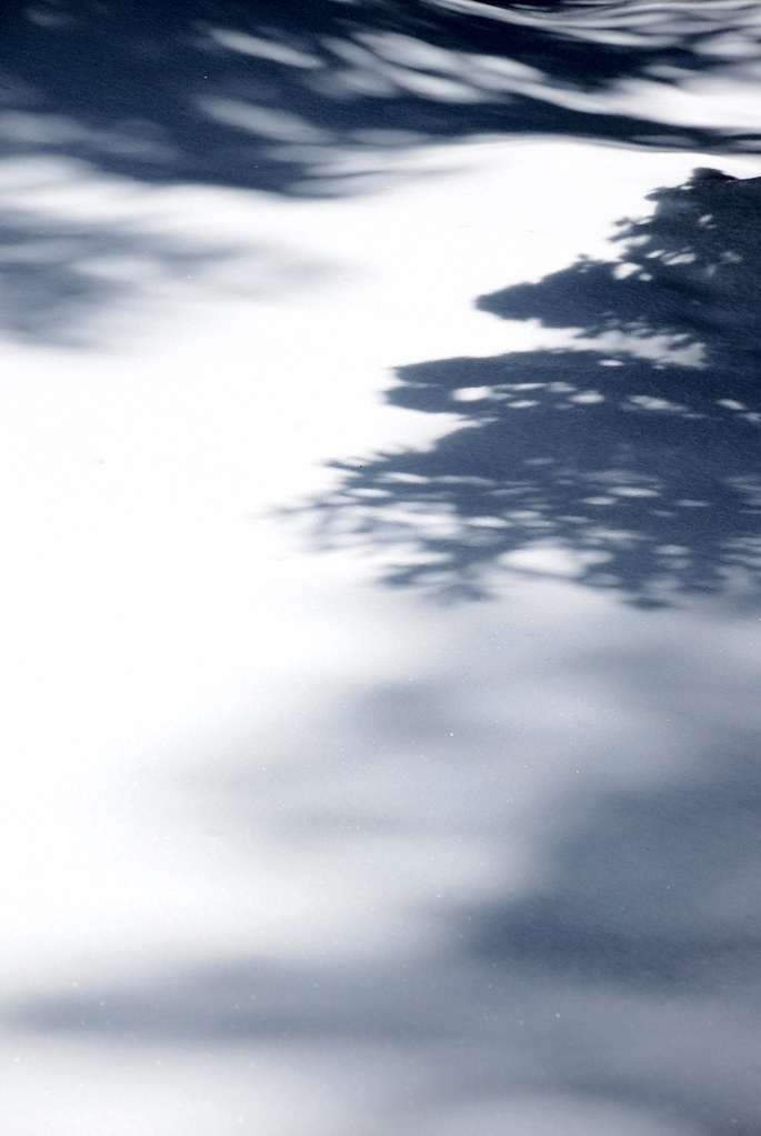
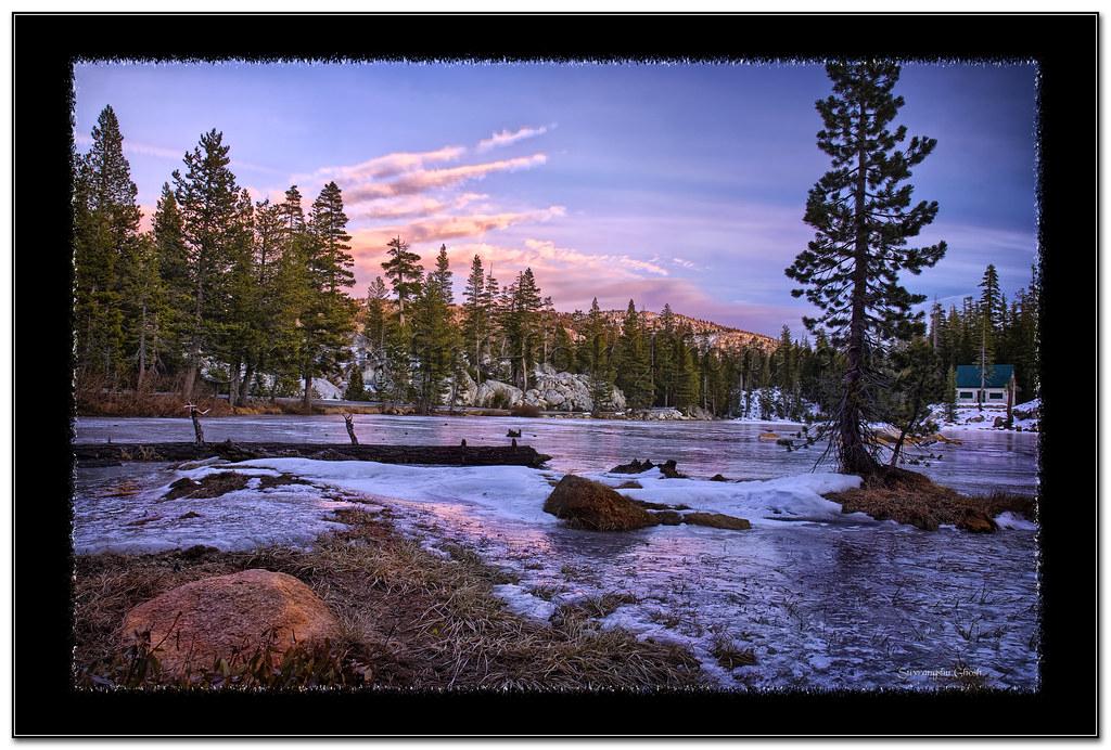
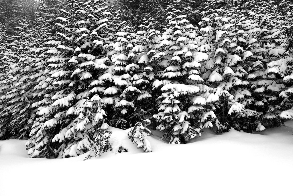
frozen shadows
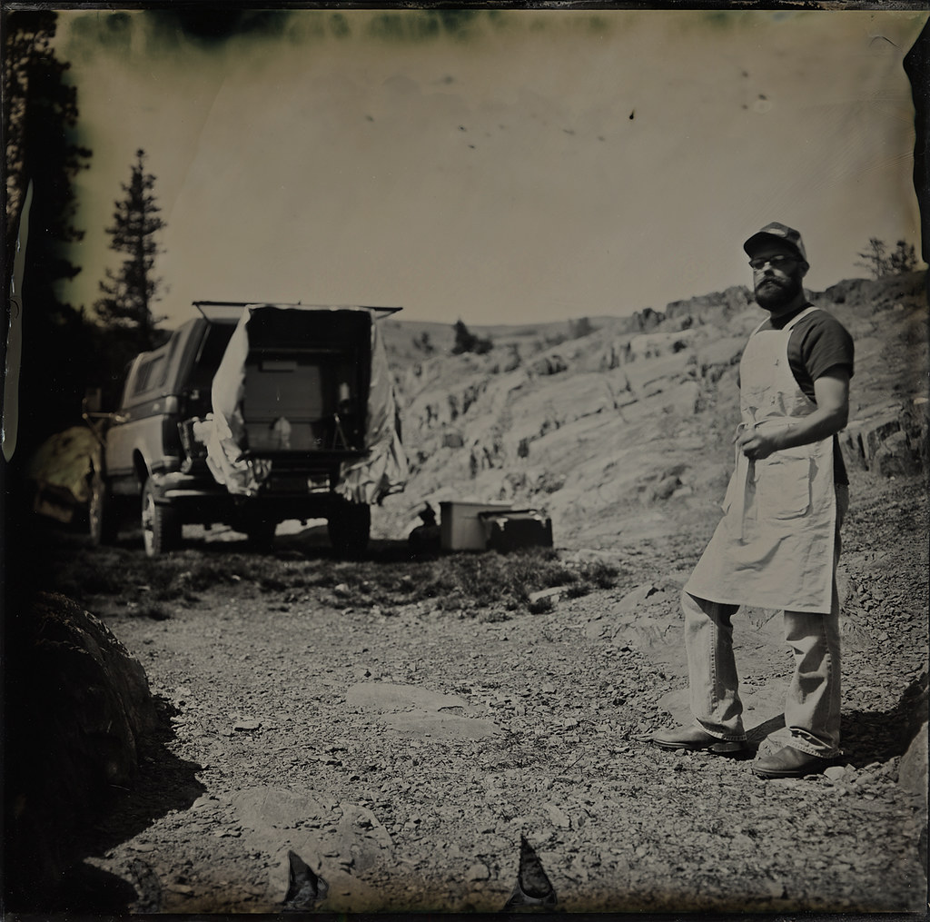
Self Portrait with Portable Darkroom
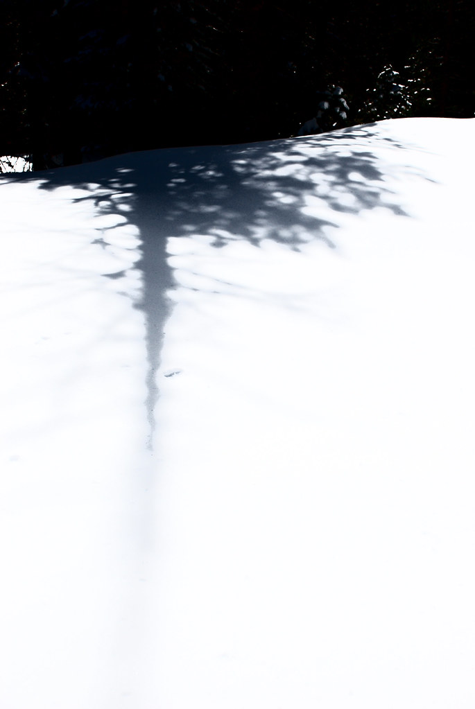
dangling participle
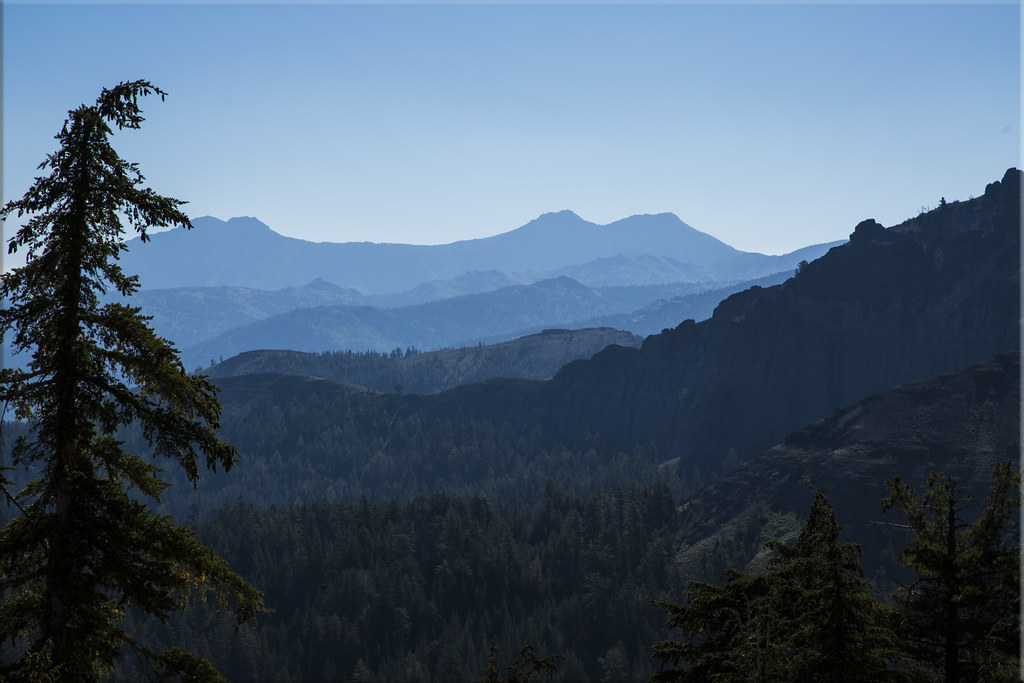
Man Vs Nature
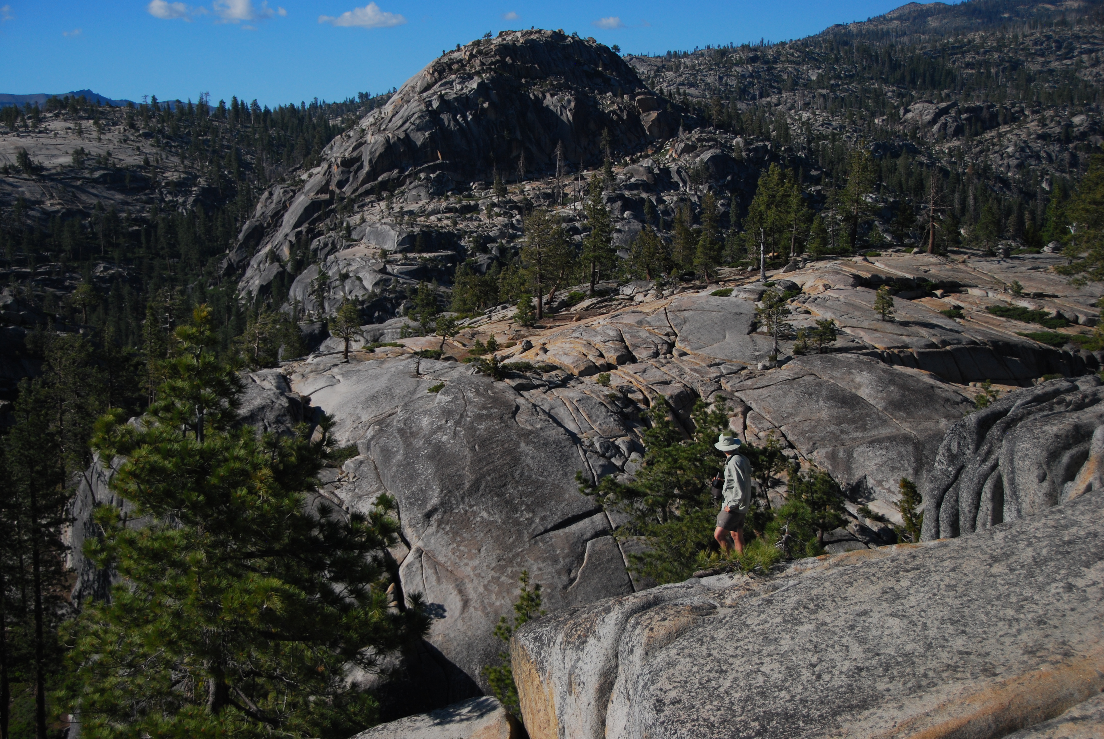
A view at the top
Areial View of Beardsley Lake, Tuolumne County, CA

Heiser Lake Panorama

Peaks East of Bull Run Lake

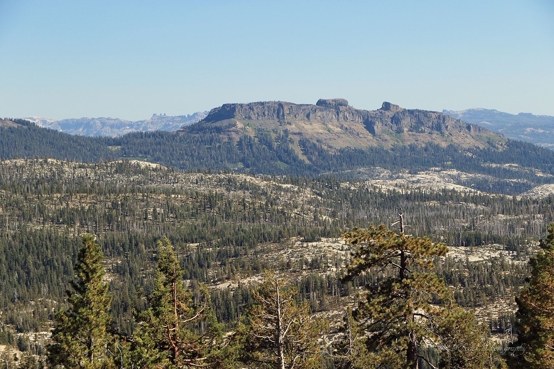
View of Stanislaus Wilderness
Elephant Rock Lake View
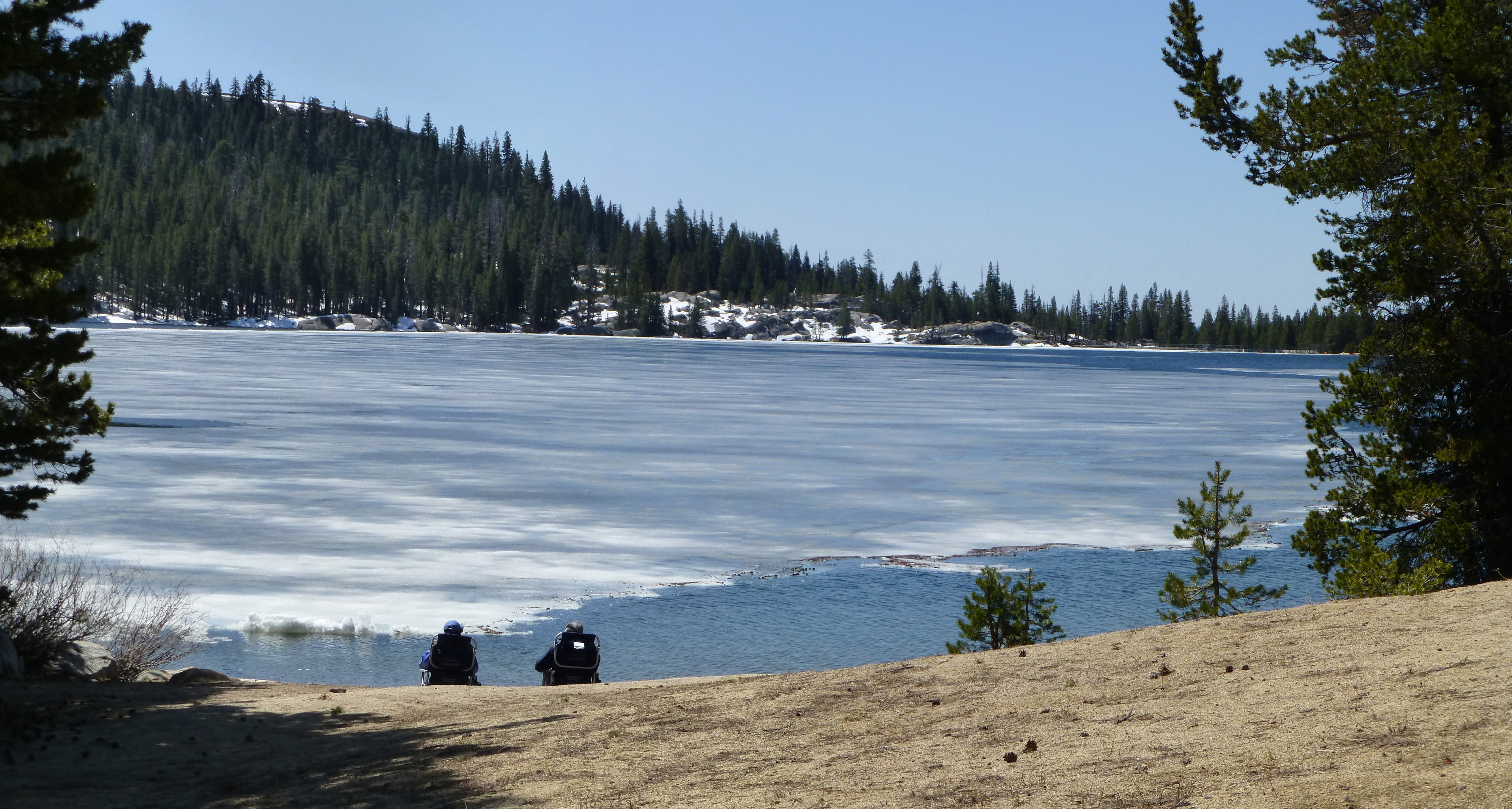
Ice View

Circular Scrapes

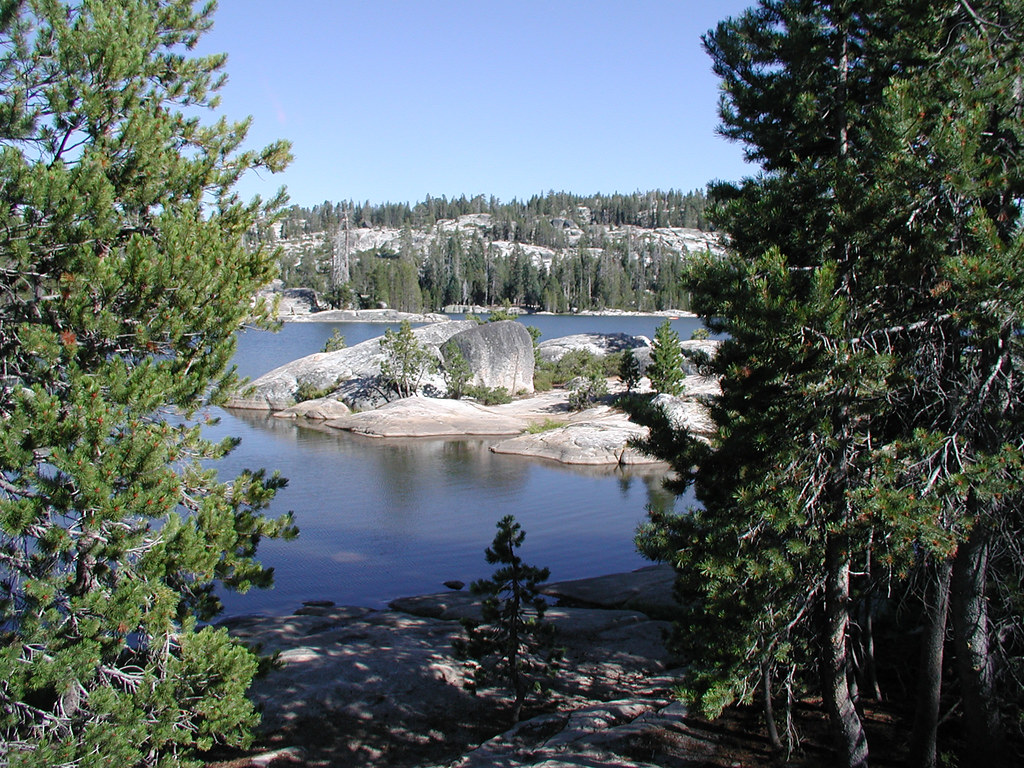
View above Bull Run Lake
one of the crowd
Utica Reservoir View
Take in the view.
Logging Time: Sierra Nevada
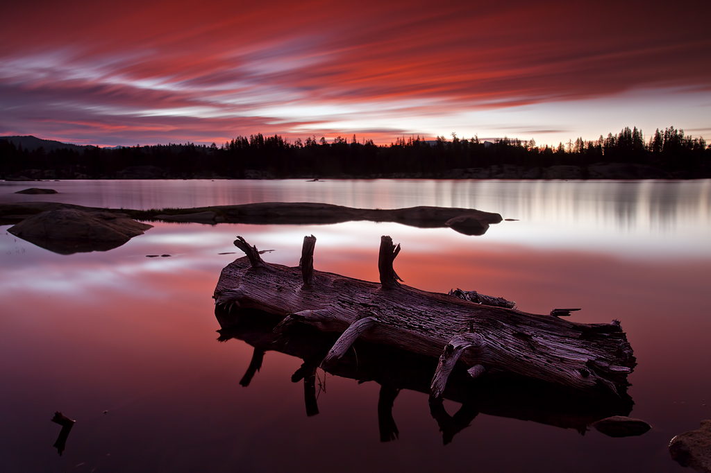
Evening at the Cascades
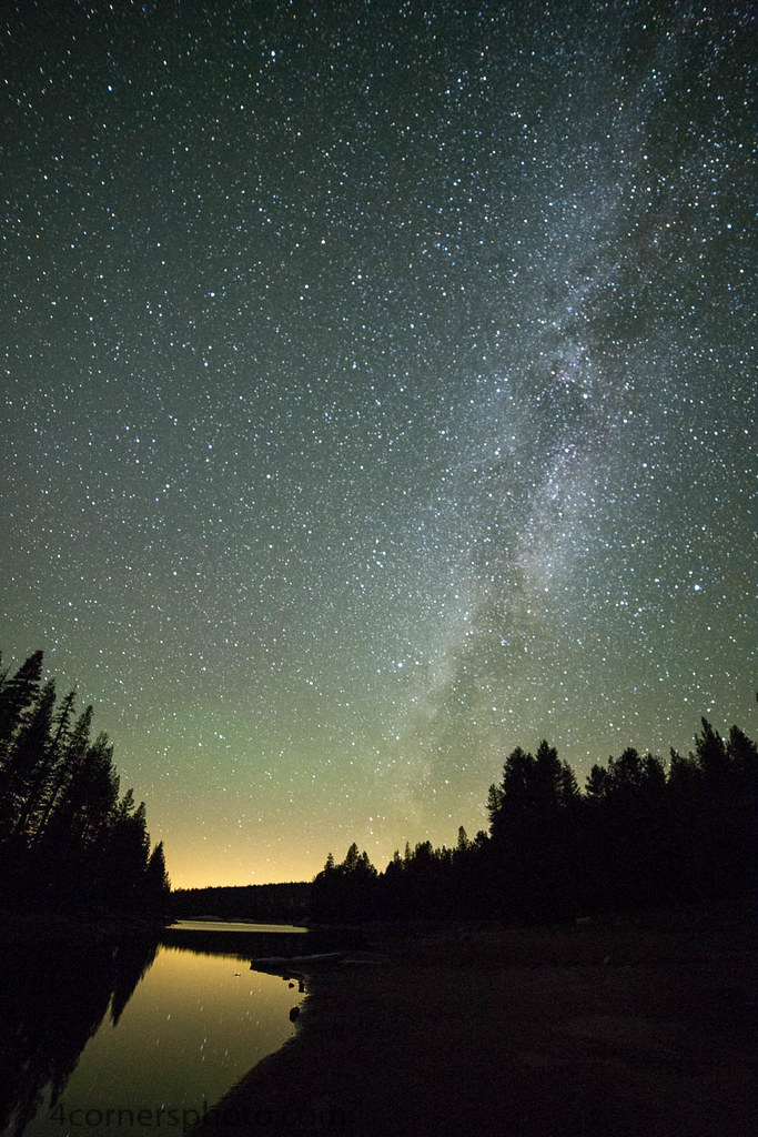
Milky Way, Alpine County, CA
DSC_0016-a5
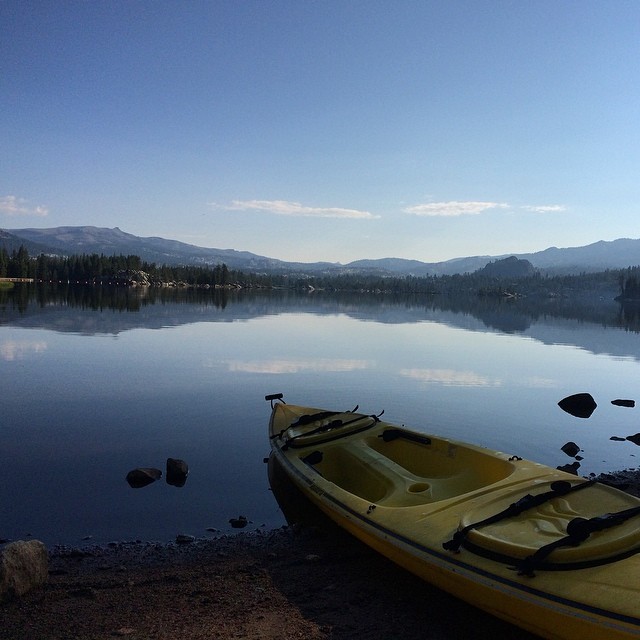
From last weekend... Fishing, kayaking, camping... With my favorite person @dreaminlow54
Great day today.
Lake Alpine in Early Summer
Last day of the season
The Mountains of Alpine County
Half Dome, is that you?

BB Amazingly Amazing Ride
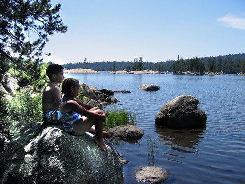
Mosquito Lake

Blue up white down ⛷⛷. . . . . #bluesky #skiing #boston #creative #neverstopexploring #explore #photography #instagood #instaphoto #picoftheday #fff #eastcoast #adventure #discoveraround #justgoshoot #igers #igersboston #thecreatorclass #cc #theuncommonbo
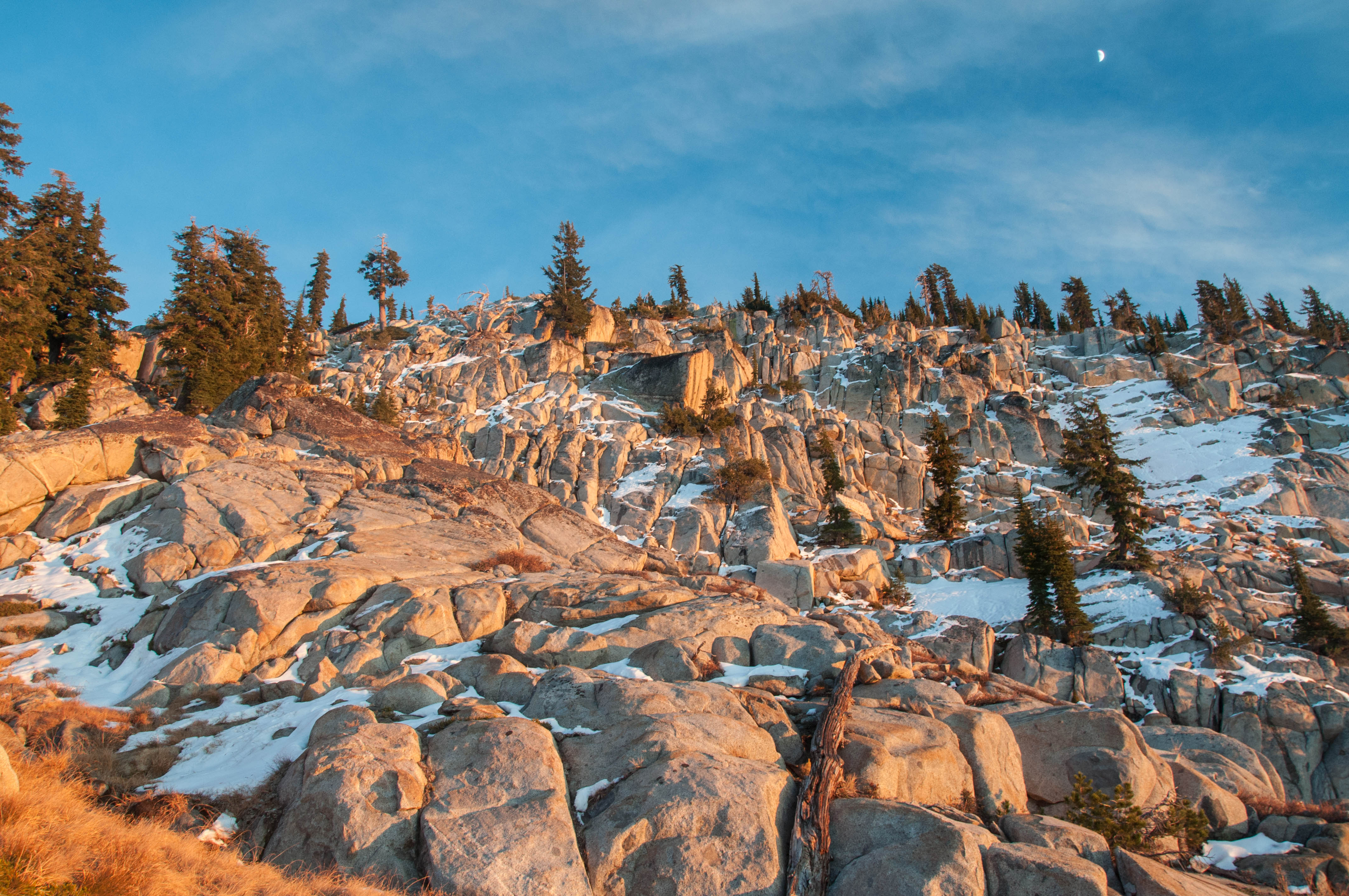
Moon's Out
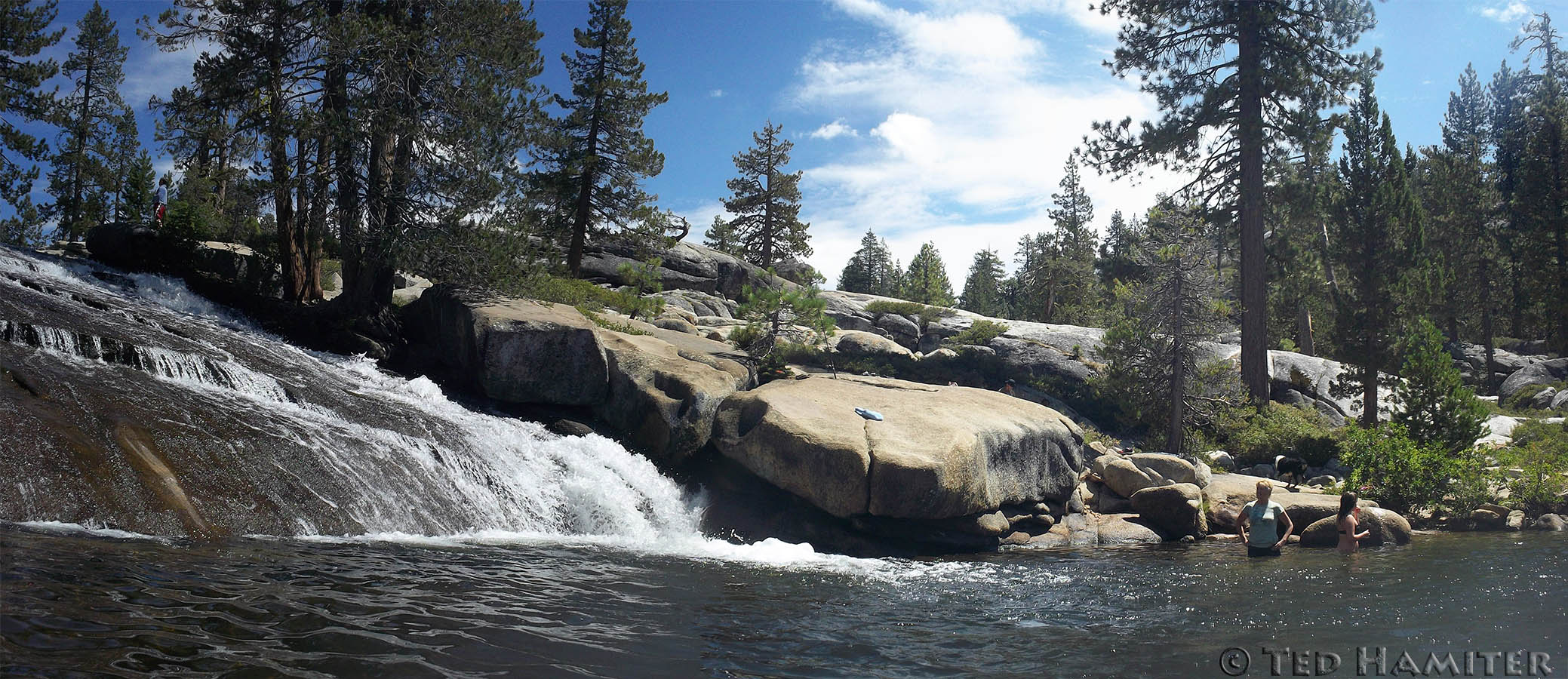
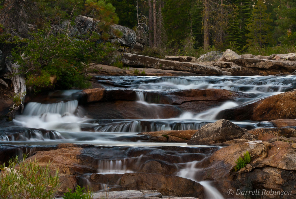
Stanislaus River water slide and swimming hole
Hiking back down
2012-09-07 11.19.34
Lake Alpine | California
Mosquito Lake panoramic
Topographic Map of CA-4, Arnold, CA, USA
Find elevation by address:

Places near CA-4, Arnold, CA, USA:
Homestead Road
Little Buck Road
Tamarack
118 Creekside Dr
Bear Valley
Mountain View Rd, Arnold, CA, USA
CA-4, Camp Connell, CA, USA
Utica Reservoir
14747 Ca-4
CA-4, Camp Connell, CA, USA
The Dardanelles West
50 Beatrice Dr, Camp Connell, CA, USA
Bull Run Peak
The Dardanelles North
Bear River Reservoir
1937 Alpine State Hwy
Deadwood Peak
Plasse's Resort
Plasse Rd, Pioneer, CA, USA
Stanislaus National Forest
Recent Searches:
- Elevation of Window Rock, Colfax County, New Mexico, 87714, USA
- Elevation of 4807, Rosecroft Street, Kempsville Gardens, Virginia Beach, Virginia, 23464, USA
- Elevation map of Matawinie, Quebec, Canada
- Elevation of Sainte-Émélie-de-l'Énergie, Matawinie, Quebec, Canada
- Elevation of Rue du Pont, Sainte-Émélie-de-l'Énergie, Matawinie, Quebec, J0K2K0, Canada
- Elevation of 8, Rue de Bécancour, Blainville, Thérèse-De Blainville, Quebec, J7B1N2, Canada
- Elevation of Wilmot Court North, 163, University Avenue West, Northdale, Waterloo, Region of Waterloo, Ontario, N2L6B6, Canada
- Elevation map of Panamá Province, Panama
- Elevation of Balboa, Panamá Province, Panama
- Elevation of San Miguel, Balboa, Panamá Province, Panama
- Elevation of Isla Gibraleón, San Miguel, Balboa, Panamá Province, Panama
- Elevation of 4655, Krischke Road, Schulenburg, Fayette County, Texas, 78956, USA
- Elevation of Carnegie Avenue, Downtown Cleveland, Cleveland, Cuyahoga County, Ohio, 44115, USA
- Elevation of Walhonding, Coshocton County, Ohio, USA
- Elevation of Clifton Down, Clifton, Bristol, City of Bristol, England, BS8 3HU, United Kingdom
- Elevation map of Auvergne-Rhône-Alpes, France
- Elevation map of Upper Savoy, Auvergne-Rhône-Alpes, France
- Elevation of Chamonix-Mont-Blanc, Upper Savoy, Auvergne-Rhône-Alpes, France
- Elevation of 908, Northwood Drive, Bridge Field, Chesapeake, Virginia, 23322, USA
- Elevation map of Nagano Prefecture, Japan