Elevation of Thalavadi, Tamil Nadu, India
Location: India > Tamil Nadu > Erode >
Longitude: 77.0060658
Latitude: 11.7784226
Elevation: 809m / 2654feet
Barometric Pressure: 92KPa
Elevation Map:
Satellite Map:
Related Photos:
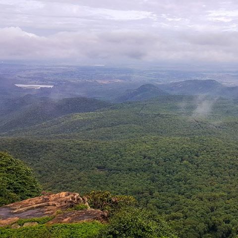
#BRhills #day #trip from #bangalore #amazing #landscape #cloud coverd #mountains #awesome #drive #weekend #getaway

Is it me you're looking for?

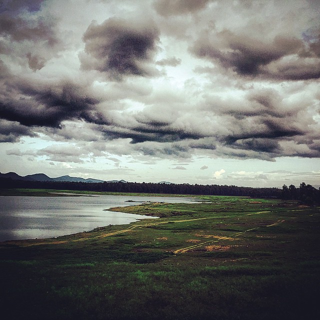
And the Sunday #SoloRide is on! #SathishDairies #Travel #InstaTravel #InstaStreet #StreetPhotography #InstaDaily #PicOfTheDay #indiapictures #exploringkarnataka #IGKarnataka #instalikes #InstaFollow #InstaFollowers #Water #WaterFalls #Morning

Mrs.Vijayshreevinodh
#thalvadi

20111115-DSC02247
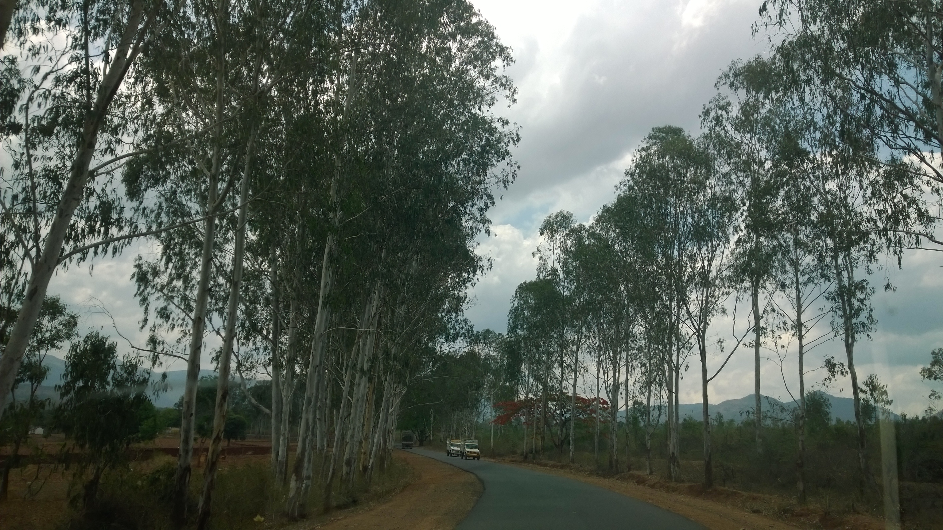
Sathyamangalam Road, Sathy Tiger Reserve.

Shobha Sarang

Approaching Chamarajanagar.(03)

Near Chamarajanagar on the Mysore Road.(05)
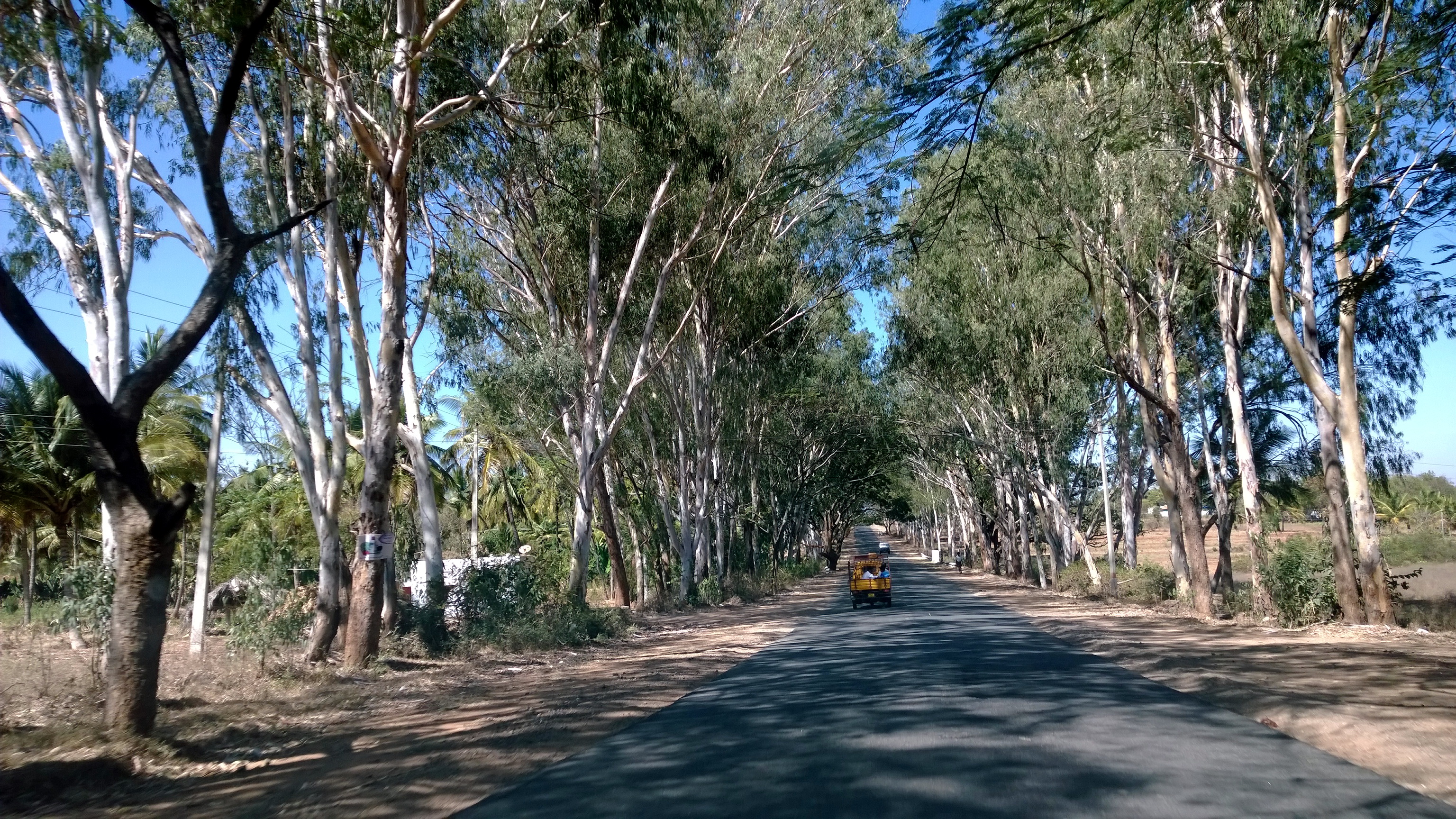
Eucalptus Trees Lined Road near Chamarajanagar.(04)
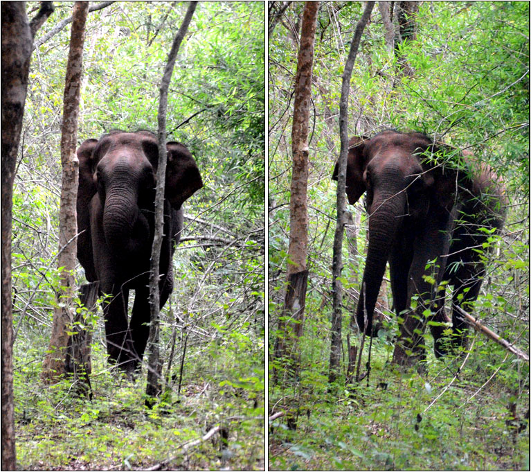
Wild Elephant @ Hasanur
Topographic Map of Thalavadi, Tamil Nadu, India
Find elevation by address:

Places near Thalavadi, Tamil Nadu, India:
Chamarajanagar
Chamarajanagar [r]
Dhimbham
Talamalai R.f.
Dhimbam View Point
Kottadai
Unnamed Road
Thengumarahada
Kempanapura
Gorukana Eco Wellness Retreat
Biligiriranganabetta
Banari
Kodanadu View Point
Yelandur
Kodanad Estate Bungalow
Kodanad
Gundlupete
Unnamed Road
Nedugula
Vanamala Farm
Recent Searches:
- Elevation of Corso Fratelli Cairoli, 35, Macerata MC, Italy
- Elevation of Tallevast Rd, Sarasota, FL, USA
- Elevation of 4th St E, Sonoma, CA, USA
- Elevation of Black Hollow Rd, Pennsdale, PA, USA
- Elevation of Oakland Ave, Williamsport, PA, USA
- Elevation of Pedrógão Grande, Portugal
- Elevation of Klee Dr, Martinsburg, WV, USA
- Elevation of Via Roma, Pieranica CR, Italy
- Elevation of Tavkvetili Mountain, Georgia
- Elevation of Hartfords Bluff Cir, Mt Pleasant, SC, USA