Elevation of Chamarajanagar, Karnataka, India
Location: India > Karnataka > Chamarajanagar >
Longitude: 76.9437312
Latitude: 11.9261471
Elevation: 709m / 2326feet
Barometric Pressure: 93KPa
Elevation Map:
Satellite Map:
Related Photos:
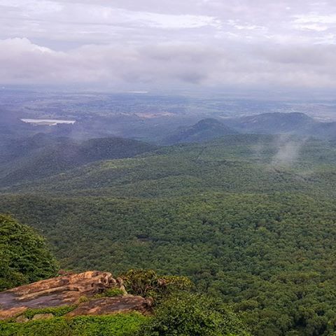
#BRhills #day #trip from #bangalore #amazing #landscape #cloud coverd #mountains #awesome #drive #weekend #getaway

What should I do, if Sunday comes so faster than sipping cup of tea ???????? #MondayBlues #GonnaBreakThis any how #HappyMorning ????

And the Sunday #SoloRide is on! #SathishDairies #Travel #InstaTravel #InstaStreet #StreetPhotography #InstaDaily #PicOfTheDay #indiapictures #exploringkarnataka #IGKarnataka #instalikes #InstaFollow #InstaFollowers #Water #WaterFalls #Morning

Mrs.Vijayshreevinodh

20111115-DSC02247

Prashanth and Manjunath

Shobha Sarang

Approaching Chamarajanagar.(03)
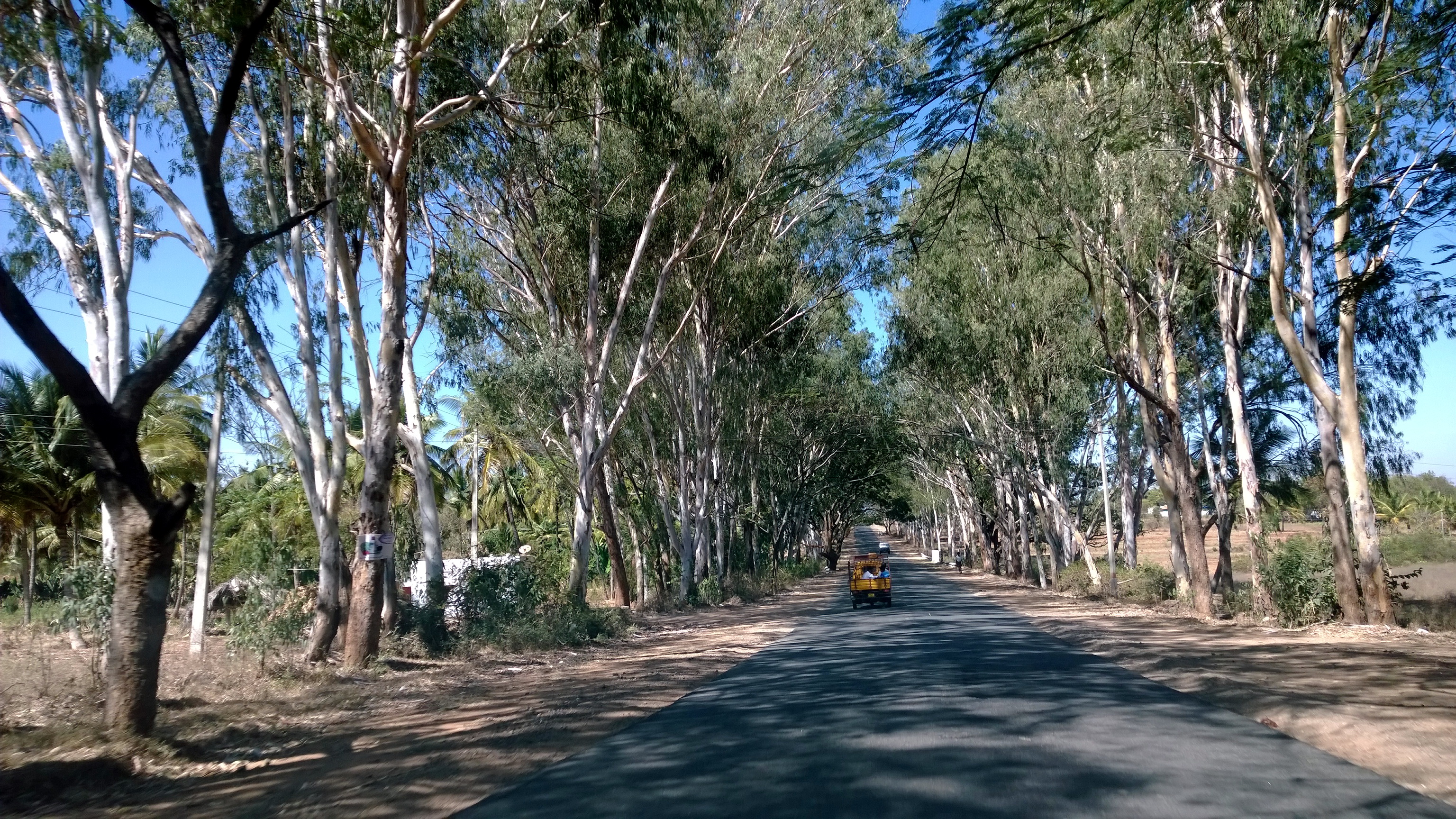
Eucalptus Trees Lined Road near Chamarajanagar.(04)
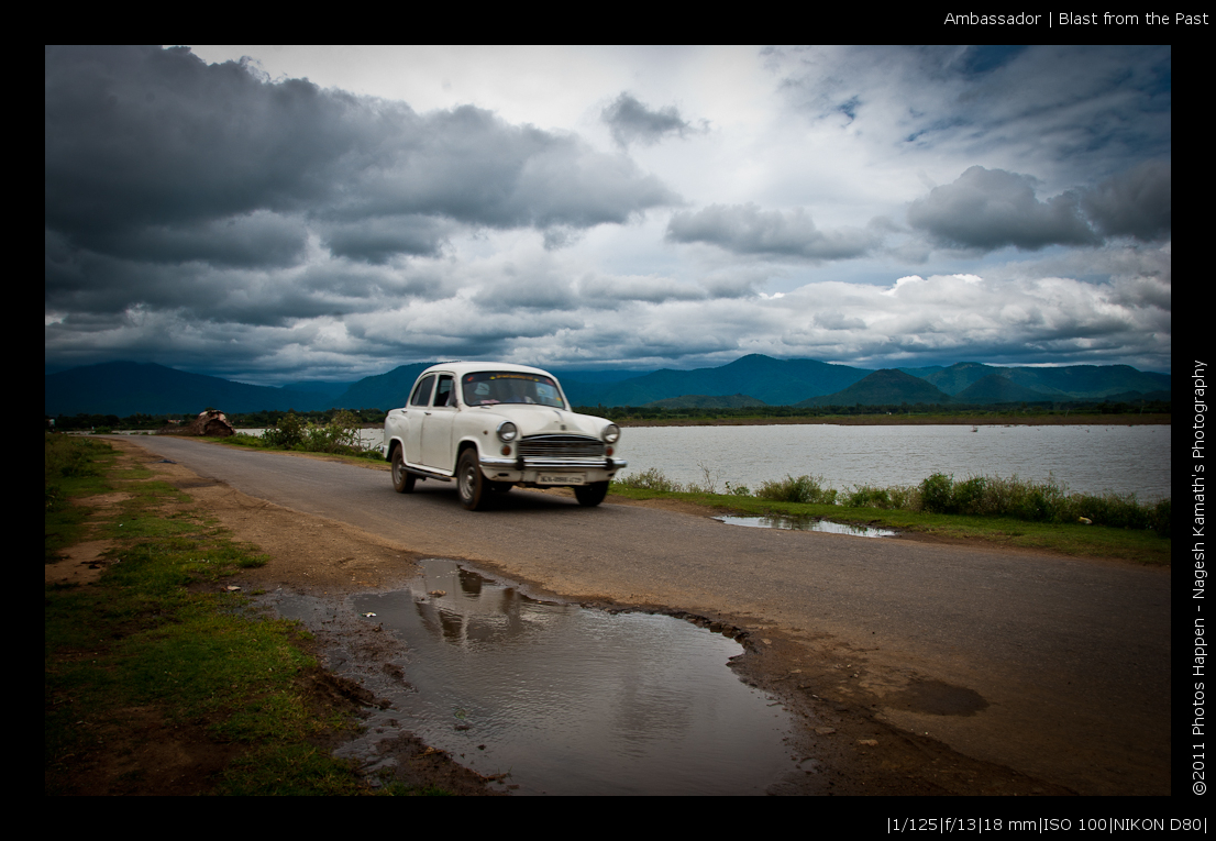
Ambassador | Blast from the Past
Topographic Map of Chamarajanagar, Karnataka, India
Find elevation by address:

Places near Chamarajanagar, Karnataka, India:
Chamarajanagar [r]
Unnamed Road
Kempanapura
Yelandur
Thalavadi
Gorukana Eco Wellness Retreat
Biligiriranganabetta
Gundlupete
Talakadu
Kollegal
Tirumakudalu Narasipura
Gargeshwari
Nanjanagudu
Kongarahalli
Dhimbham
Kamagere
Talamalai R.f.
Dhimbam View Point
Thengumarahada
The Mangifera
Recent Searches:
- Elevation of Corso Fratelli Cairoli, 35, Macerata MC, Italy
- Elevation of Tallevast Rd, Sarasota, FL, USA
- Elevation of 4th St E, Sonoma, CA, USA
- Elevation of Black Hollow Rd, Pennsdale, PA, USA
- Elevation of Oakland Ave, Williamsport, PA, USA
- Elevation of Pedrógão Grande, Portugal
- Elevation of Klee Dr, Martinsburg, WV, USA
- Elevation of Via Roma, Pieranica CR, Italy
- Elevation of Tavkvetili Mountain, Georgia
- Elevation of Hartfords Bluff Cir, Mt Pleasant, SC, USA