Elevation of Thengumarahada, Tamil Nadu, India
Location: India > Tamil Nadu > Erode >
Longitude: 76.9264939
Latitude: 11.5682323
Elevation: 375m / 1230feet
Barometric Pressure: 97KPa
Elevation Map:
Satellite Map:
Related Photos:
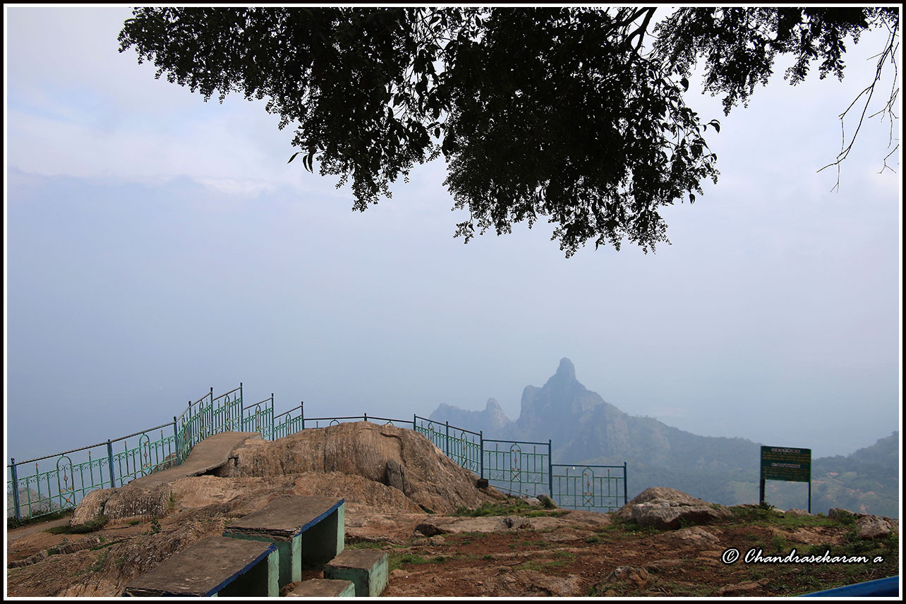
7294 - Kodanad view point
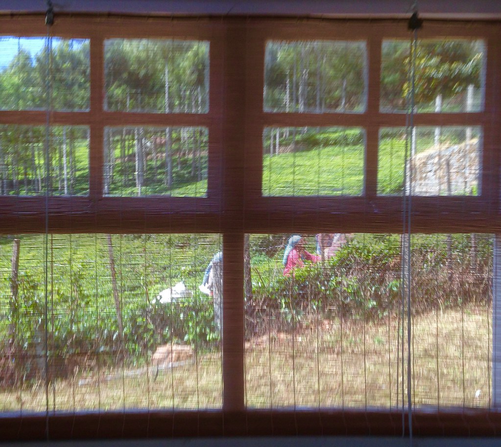
View from my room

View from my bed:)
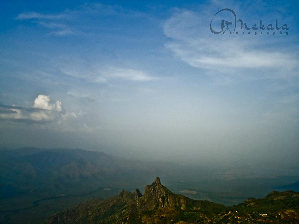
Rangaswamy Pillar

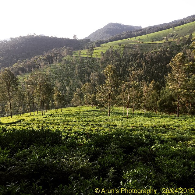
7322 - tea gardens

7291 - tea gardens
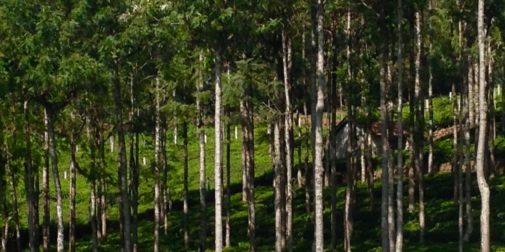
Forest (Silver Oak)

Gaur??
Awesome climate for morning run

EJL_4113 - Version 2
Topographic Map of Thengumarahada, Tamil Nadu, India
Find elevation by address:

Places near Thengumarahada, Tamil Nadu, India:
Kodanadu View Point
Kodanad Estate Bungalow
Kodanad
Unnamed Road
Nedugula
Kil Kotagiri
Kookalthorai
Sholurmattam
Sholurmattam Main Bazzar
Denad
Vanamala Farm
Kannimaari Amman Temple
Kadinamala
Kagguchi
Green Nest Resort
Kadanad
Nilgiris
Anikorai
Glyngarth Resort Ooty
Hullathy
Recent Searches:
- Elevation of Corso Fratelli Cairoli, 35, Macerata MC, Italy
- Elevation of Tallevast Rd, Sarasota, FL, USA
- Elevation of 4th St E, Sonoma, CA, USA
- Elevation of Black Hollow Rd, Pennsdale, PA, USA
- Elevation of Oakland Ave, Williamsport, PA, USA
- Elevation of Pedrógão Grande, Portugal
- Elevation of Klee Dr, Martinsburg, WV, USA
- Elevation of Via Roma, Pieranica CR, Italy
- Elevation of Tavkvetili Mountain, Georgia
- Elevation of Hartfords Bluff Cir, Mt Pleasant, SC, USA