Elevation map of Erode, Tamil Nadu, India
Location: India > Tamil Nadu >
Longitude: 77.4701972
Latitude: 11.5245781
Elevation: 203m / 666feet
Barometric Pressure: 99KPa
Elevation Map:
Satellite Map:
Related Photos:

Sunset Over the River
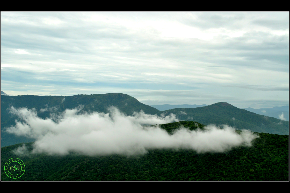
Mountain Clouds

Raampaali Way

Shola Forest

Old Man
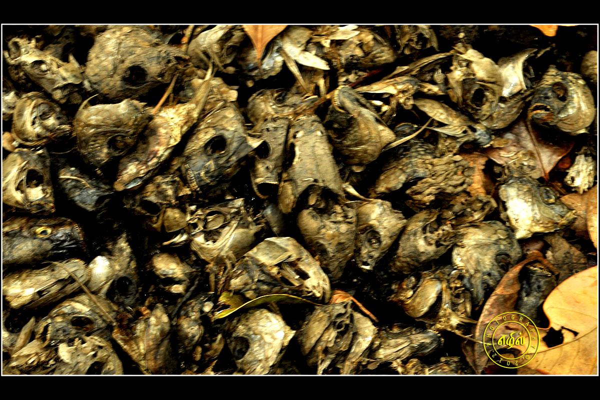
Fish Head
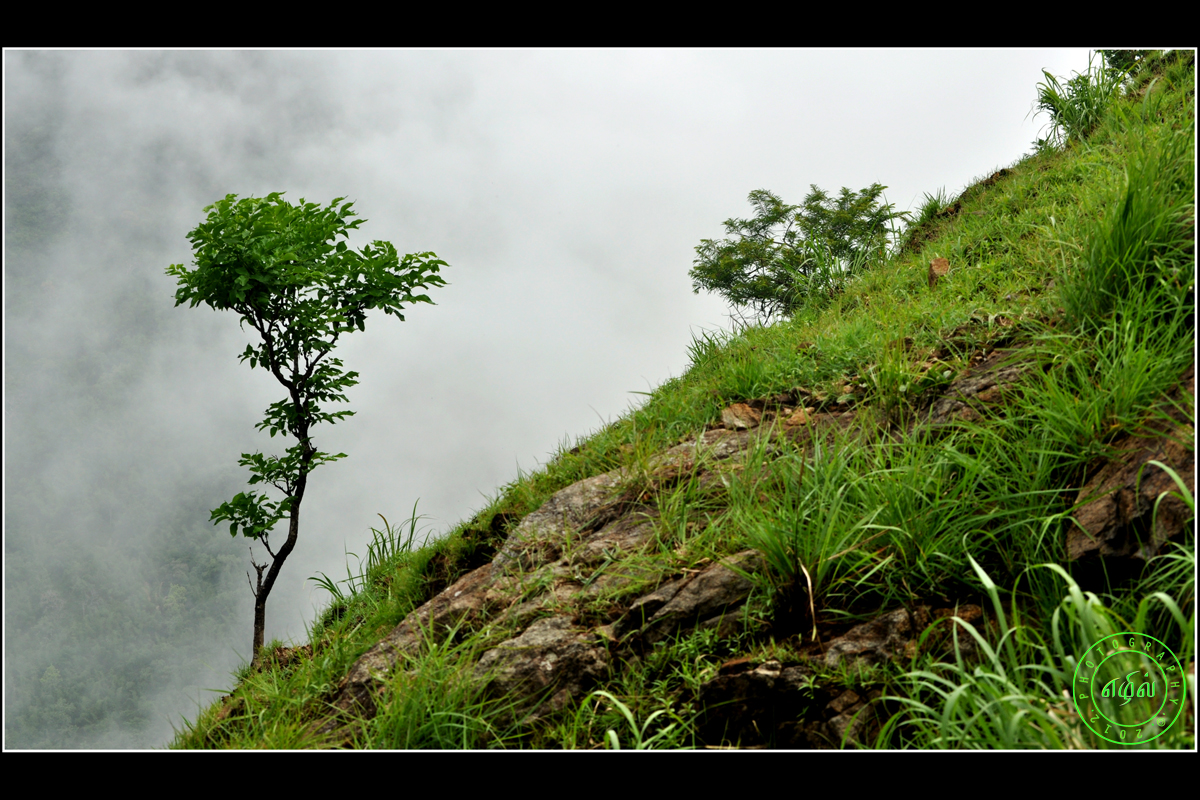
Tree in Cloud
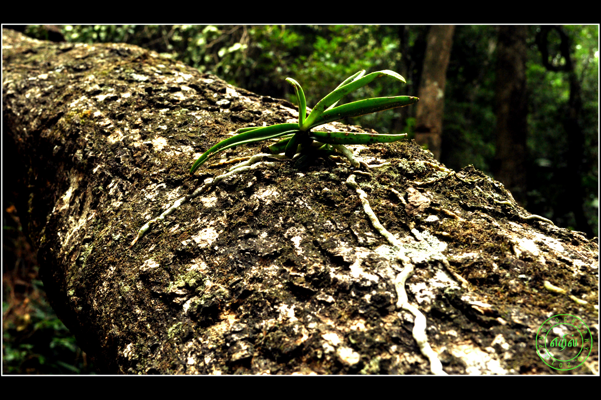
Tree Parasite

Old Man -vectorized

Tribal Man
Topographic Map of Erode, Tamil Nadu, India
Find elevation by address:

Places in Erode, Tamil Nadu, India:
Bhavani
Talamalai R.f.
Ammapettai
Nambiyur
Erode
Sathyamangalam
Perundurai
Kodumudi
Modakurichi
Anthiyur
Gobichettipalayam
Thuckanaickenpalayam
Thalavadi
Banari
Kottadai
Kadambur
Guruvareddiyur
Ponmudi
Manjala Naickenur
Thengumarahada
Places near Erode, Tamil Nadu, India:
Gobichettipalayam
Thuckanaickenpalayam
Manjala Naickenur
Anthiyur
Bhavani
Palanipuram
139/92, Main Road
Guruvareddiyur
Ponmudi
Perundurai
Ammapettai
Ammapet Police Station
Erode
Idappadi
Mettur
Mettur Dam
Kolathur
Konganapuram
Mettur Dam
Mallasamudram
Recent Searches:
- Elevation of Corso Fratelli Cairoli, 35, Macerata MC, Italy
- Elevation of Tallevast Rd, Sarasota, FL, USA
- Elevation of 4th St E, Sonoma, CA, USA
- Elevation of Black Hollow Rd, Pennsdale, PA, USA
- Elevation of Oakland Ave, Williamsport, PA, USA
- Elevation of Pedrógão Grande, Portugal
- Elevation of Klee Dr, Martinsburg, WV, USA
- Elevation of Via Roma, Pieranica CR, Italy
- Elevation of Tavkvetili Mountain, Georgia
- Elevation of Hartfords Bluff Cir, Mt Pleasant, SC, USA