Elevation of Kamagere, Kongarahalli, Karnataka, India
Location: India > Karnataka > Chamarajanagar > Kongarahalli >
Longitude: 77.2322527
Latitude: 12.1330926
Elevation: 685m / 2247feet
Barometric Pressure: 93KPa
Elevation Map:
Satellite Map:
Related Photos:
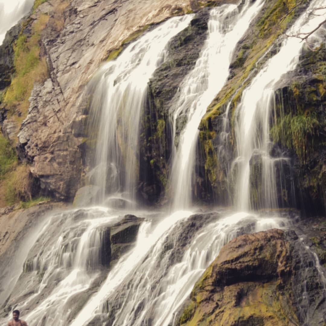
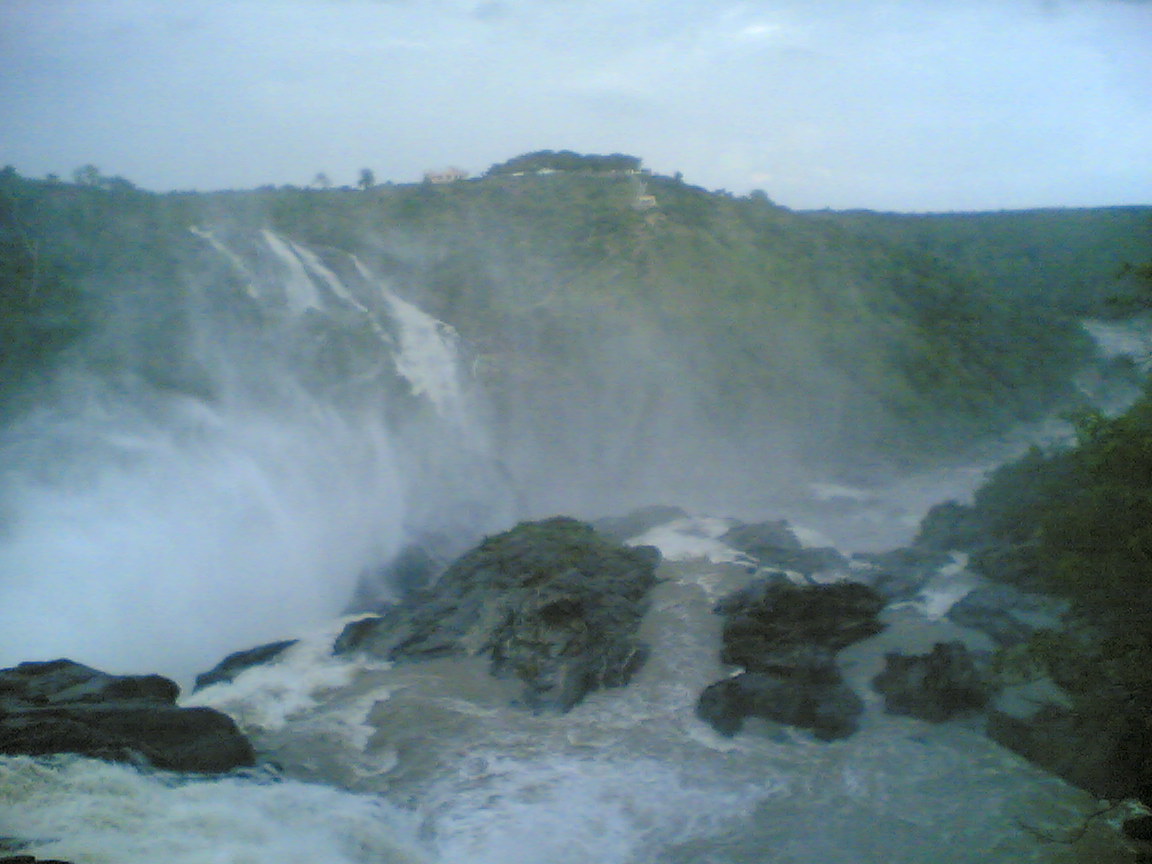
Heaven is just 322 feet away.. #SathishDairies The Sivanasamudram Falls is on the Kaveri River. after the river has wound its way through the rocks. And it's one of the first Hydro electric power stations in Asia, which was set up in the year 1902. @

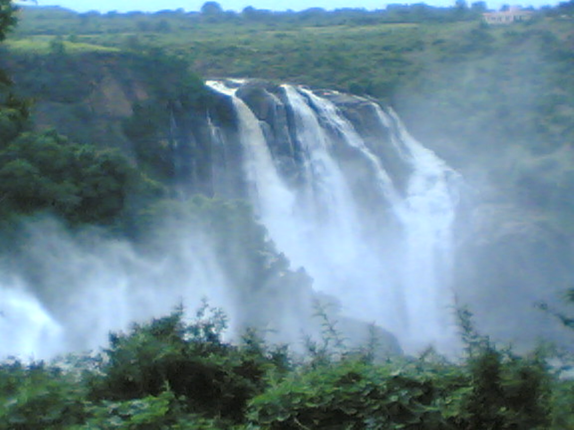
#SathishDairies has made it through.. Wonderful place to break your chaos from the work.. @ig_karnataka @indiapictures @lonelyplanetindia #ShivanaSamudra #GaganaChukki #GaganaChukkiFalls #BaraChukki #BaraChukkiFalls #Travel #LpIndia #LpTravel #InstaTra
765_773_image(328)

788_796_image(350)

789_797_image(351)

790_798_image(352)
782_790_image(344)
787_795_image(349)

766_774_image(329)

784_792_image(346)
791_799_image(353)

783_791_image(345)
Topographic Map of Kamagere, Kongarahalli, Karnataka, India
Find elevation by address:

Places near Kamagere, Kongarahalli, Karnataka, India:
Kongarahalli
Chamarajanagar
Kollegal
Gorukana Eco Wellness Retreat
Biligiriranganabetta
Shivanasamudra
Talakadu
Talavadi
Yelandur
Unnamed Road
Kempanapura
Malavalli
Tirumakudalu Narasipura
Chamarajanagar [r]
Gargeshwari
Chamarajanagar
Narayana Thimmana Doddi
Thalavadi
Maddur
Thagachagere Post Office
Recent Searches:
- Elevation of Corso Fratelli Cairoli, 35, Macerata MC, Italy
- Elevation of Tallevast Rd, Sarasota, FL, USA
- Elevation of 4th St E, Sonoma, CA, USA
- Elevation of Black Hollow Rd, Pennsdale, PA, USA
- Elevation of Oakland Ave, Williamsport, PA, USA
- Elevation of Pedrógão Grande, Portugal
- Elevation of Klee Dr, Martinsburg, WV, USA
- Elevation of Via Roma, Pieranica CR, Italy
- Elevation of Tavkvetili Mountain, Georgia
- Elevation of Hartfords Bluff Cir, Mt Pleasant, SC, USA