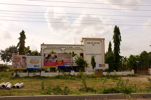
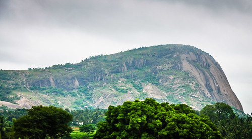
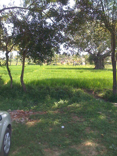
Elevation of Maddur, Karnataka, India
Location: India > Karnataka > Mandya >
Longitude: 77.0453429
Latitude: 12.5866972
Elevation: 639m / 2096feet
Barometric Pressure: 94KPa
Related Photos:
Topographic Map of Maddur, Karnataka, India
Find elevation by address:

Places near Maddur, Karnataka, India:
Narayana Thimmana Doddi
Mandya
Channapatna
Thagachagere Post Office
Malavalli
Bevinahalli
Mandya
Talavadi
Shivanasamudra
Gargeshwari
Talakadu
Srirangapatna
Tirumakudalu Narasipura
Kollegal
Panyam Cement Corporation
Hudco A Layout
Balmuri Falls
Mandi Mohalla
Lashkar Mohalla
Hotel Roopa
Recent Searches:
- Elevation of Corso Fratelli Cairoli, 35, Macerata MC, Italy
- Elevation of Tallevast Rd, Sarasota, FL, USA
- Elevation of 4th St E, Sonoma, CA, USA
- Elevation of Black Hollow Rd, Pennsdale, PA, USA
- Elevation of Oakland Ave, Williamsport, PA, USA
- Elevation of Pedrógão Grande, Portugal
- Elevation of Klee Dr, Martinsburg, WV, USA
- Elevation of Via Roma, Pieranica CR, Italy
- Elevation of Tavkvetili Mountain, Georgia
- Elevation of Hartfords Bluff Cir, Mt Pleasant, SC, USA
