Elevation of Thakurgaon, Bangladesh
Location: Bangladesh > Rangpur Division > Thakurgaon District >
Longitude: 88.4646107
Latitude: 26.0273645
Elevation: 58m / 190feet
Barometric Pressure: 101KPa
Elevation Map:
Satellite Map:
Related Photos:

Burir badh

2017-01-13 03.06.58 1

Burir badh

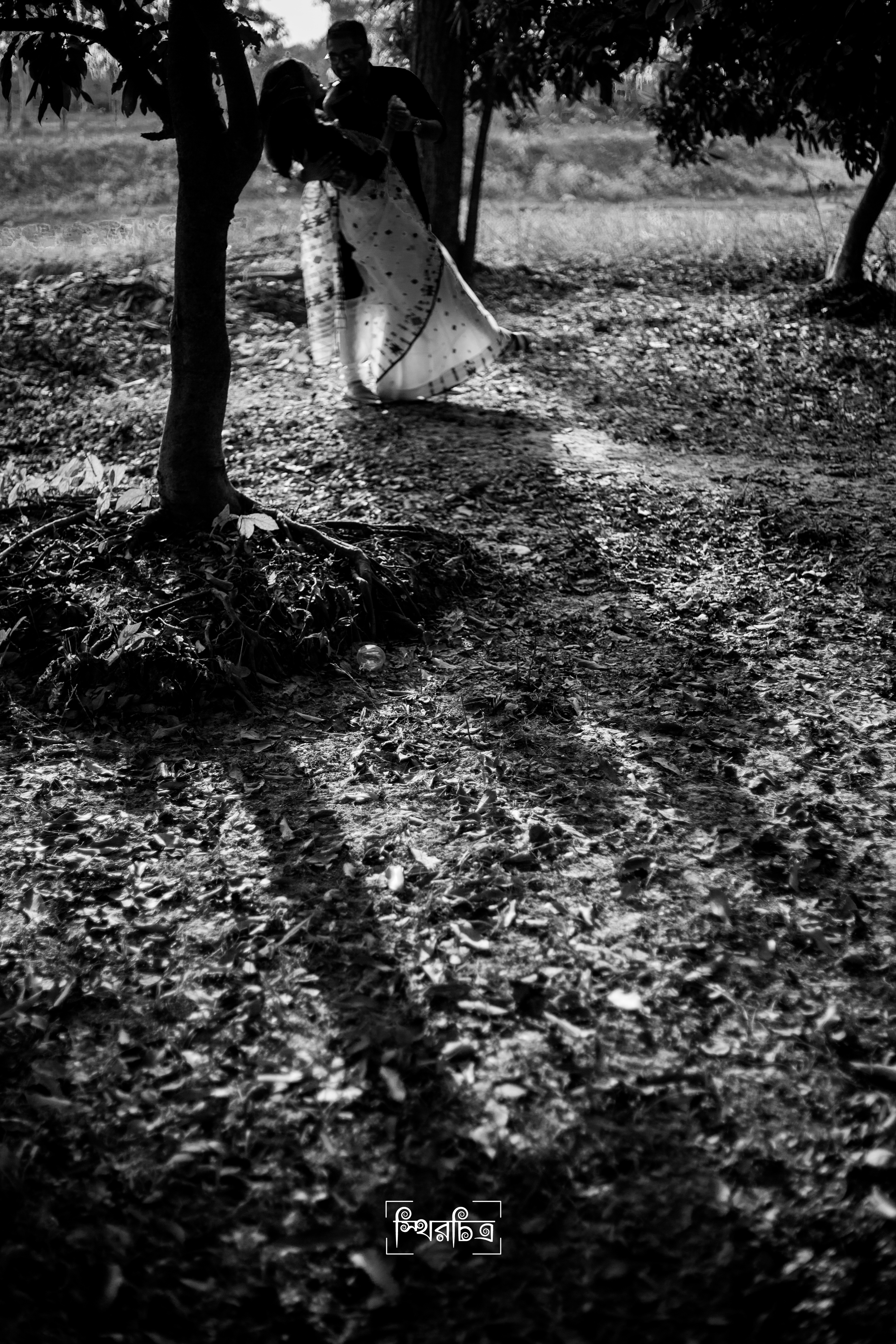
Boishakhi Saj

ডাঃ || ইঞ্জিনিয়ার এর গল্প

ডাঃ || ইঞ্জিনিয়ার এর গল্প

ডাঃ || ইঞ্জিনিয়ার এর গল্প

ডাঃ || ইঞ্জিনিয়ার এর গল্প

ডাঃ || ইঞ্জিনিয়ার এর গল্প

ডাঃ || ইঞ্জিনিয়ার এর গল্প

ডাঃ || ইঞ্জিনিয়ার এর গল্প

ডাঃ || ইঞ্জিনিয়ার এর গল্প

ডাঃ || ইঞ্জিনিয়ার এর গল্প

ডাঃ || ইঞ্জিনিয়ার এর গল্প

ডাঃ || ইঞ্জিনিয়ার এর গল্প

ডাঃ || ইঞ্জিনিয়ার এর গল্প

ডাঃ || ইঞ্জিনিয়ার এর গল্প
ডাঃ || ইঞ্জিনিয়ার এর গল্প

ডাঃ || ইঞ্জিনিয়ার এর গল্প

ডাঃ || ইঞ্জিনিয়ার এর গল্প

ডাঃ || ইঞ্জিনিয়ার এর গল্প

ডাঃ || ইঞ্জিনিয়ার এর গল্প

ডাঃ || ইঞ্জিনিয়ার এর গল্প

ডাঃ || ইঞ্জিনিয়ার এর গল্প
Topographic Map of Thakurgaon, Bangladesh
Find elevation by address:

Places near Thakurgaon, Bangladesh:
Thakurgaon District
Atwari Upazila
Bochaganj
Panchagarh
Unnamed Road
Dakshin Jibhakata
Biral
Uttar Dinajpur
Raiganj
Kishanganj
Banglabandha
Ambari
Fulbari
Dabgram
Surya Sen Mahavidyalaya
Bhadrapur Airport
Babupara
Dabgram
Barsoi
Ghogomali
Recent Searches:
- Elevation of Corso Fratelli Cairoli, 35, Macerata MC, Italy
- Elevation of Tallevast Rd, Sarasota, FL, USA
- Elevation of 4th St E, Sonoma, CA, USA
- Elevation of Black Hollow Rd, Pennsdale, PA, USA
- Elevation of Oakland Ave, Williamsport, PA, USA
- Elevation of Pedrógão Grande, Portugal
- Elevation of Klee Dr, Martinsburg, WV, USA
- Elevation of Via Roma, Pieranica CR, Italy
- Elevation of Tavkvetili Mountain, Georgia
- Elevation of Hartfords Bluff Cir, Mt Pleasant, SC, USA