Elevation of Ambari, West Bengal, India
Location: India > West Bengal > Jalpaiguri >
Longitude: 88.5057574
Latitude: 26.6445756
Elevation: 106m / 348feet
Barometric Pressure: 100KPa
Elevation Map:
Satellite Map:
Related Photos:
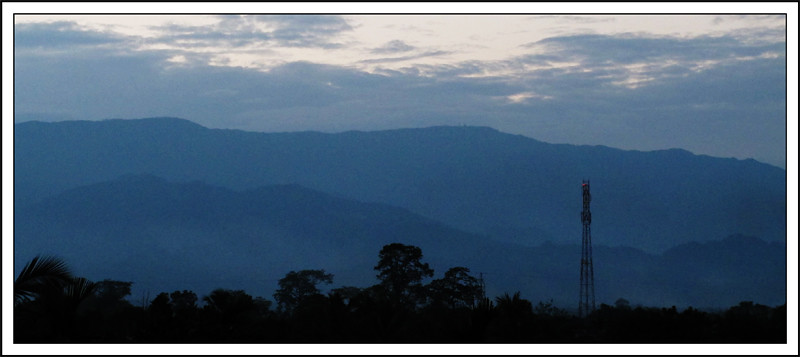
The Blue Mountain
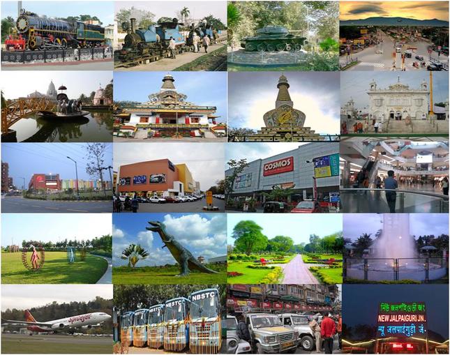
Siliguri Tourism
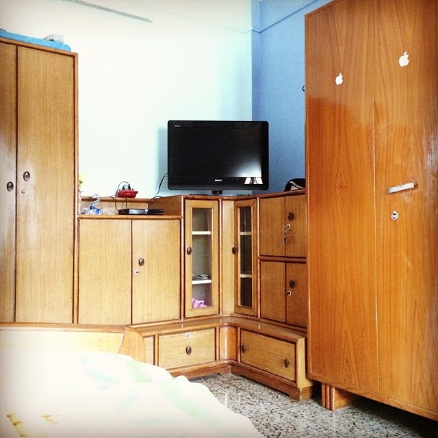
#Honestly the #first #view when I #wake up #every #morning #bed #room #hairs #cold #coffee #Starbucks #tipsy #Tea #music Thats pretty much #life
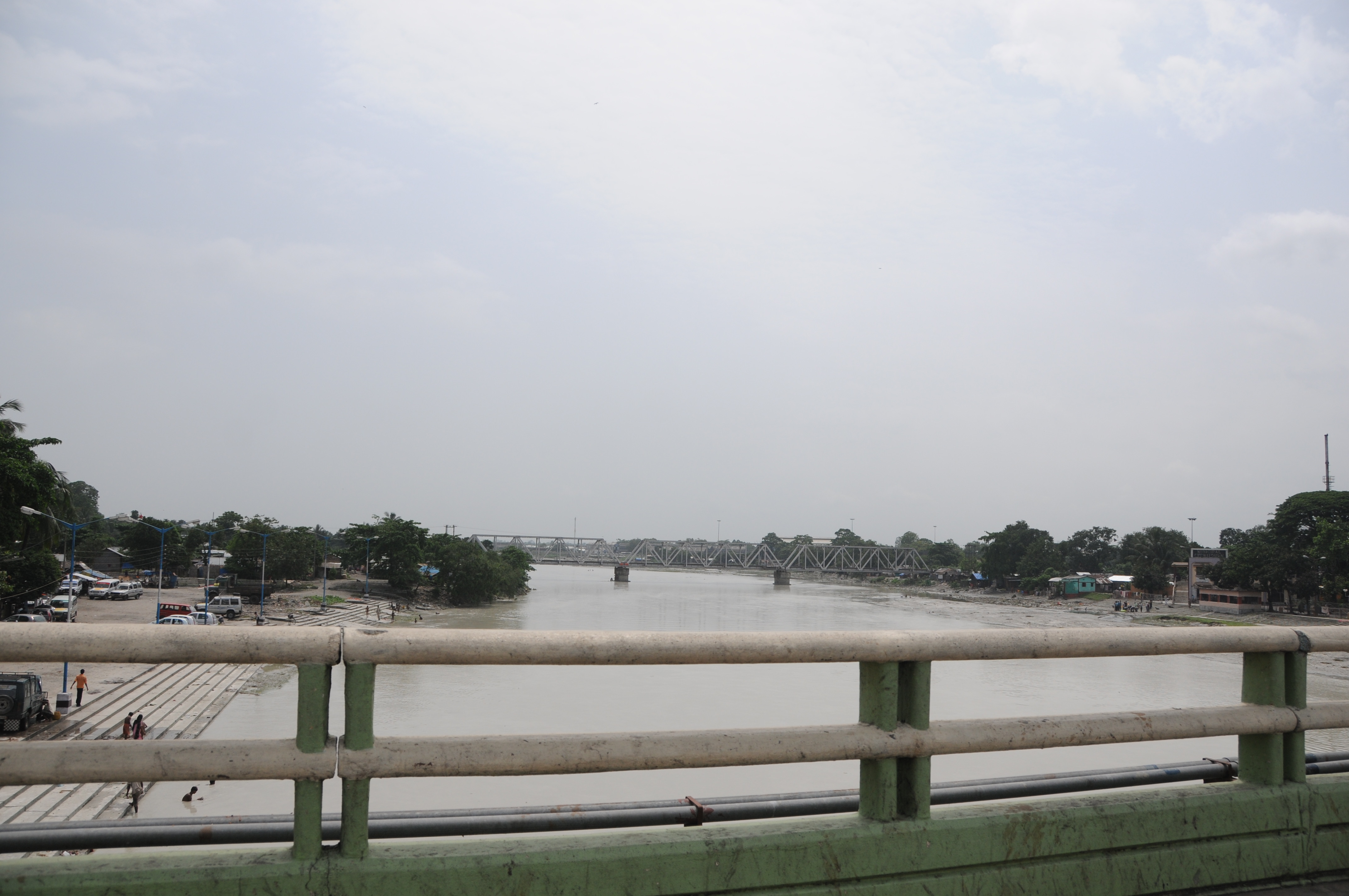
CSP_3980.JPG
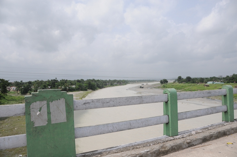
Dabgram, Siliguri, West Bengal
CSP_3978.JPG
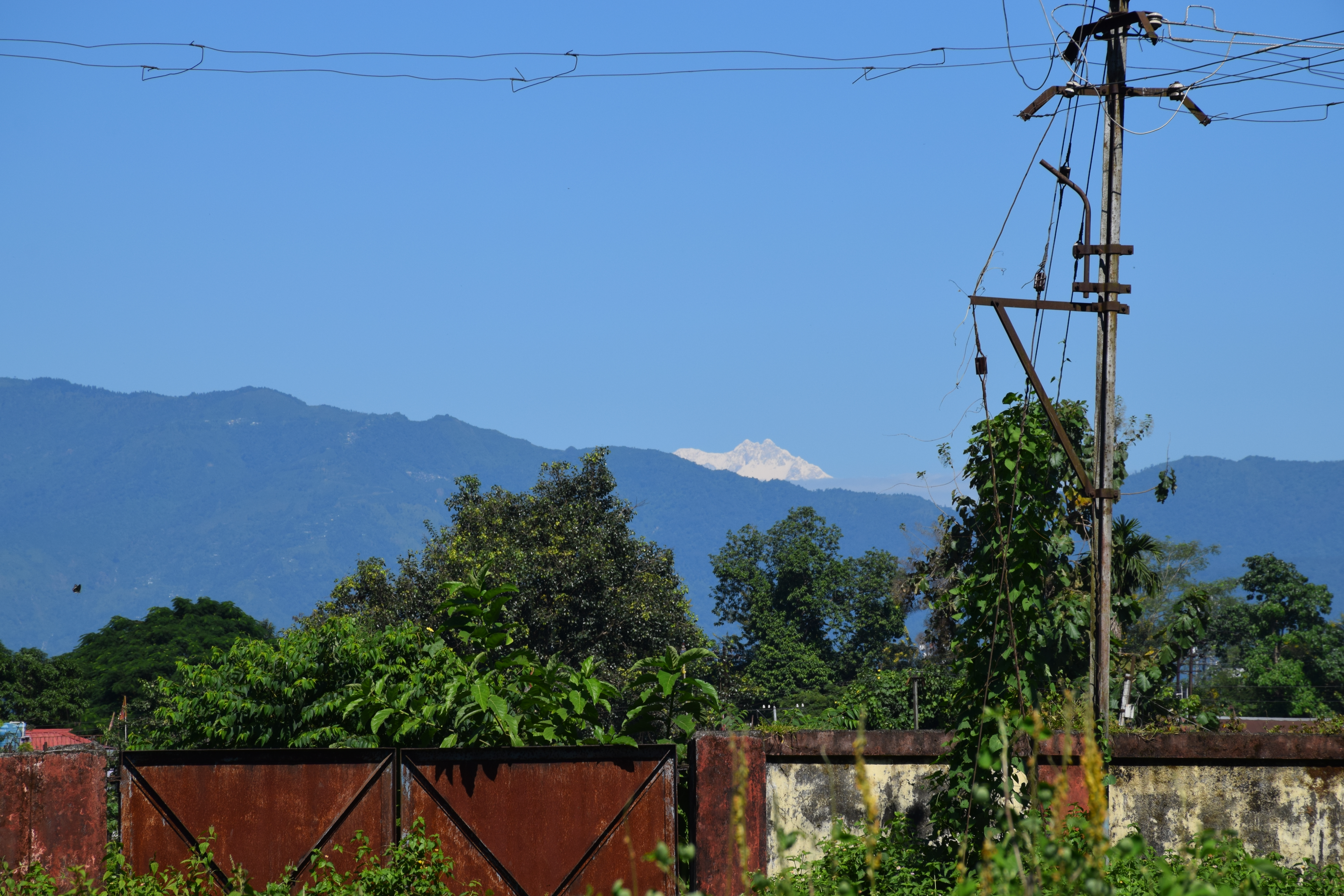
View to hills: Darjeeling Himalayan Railway engine shed, Siliguri

Dabgram, Siliguri, West Bengal

©2014 Subir K. Ghosh
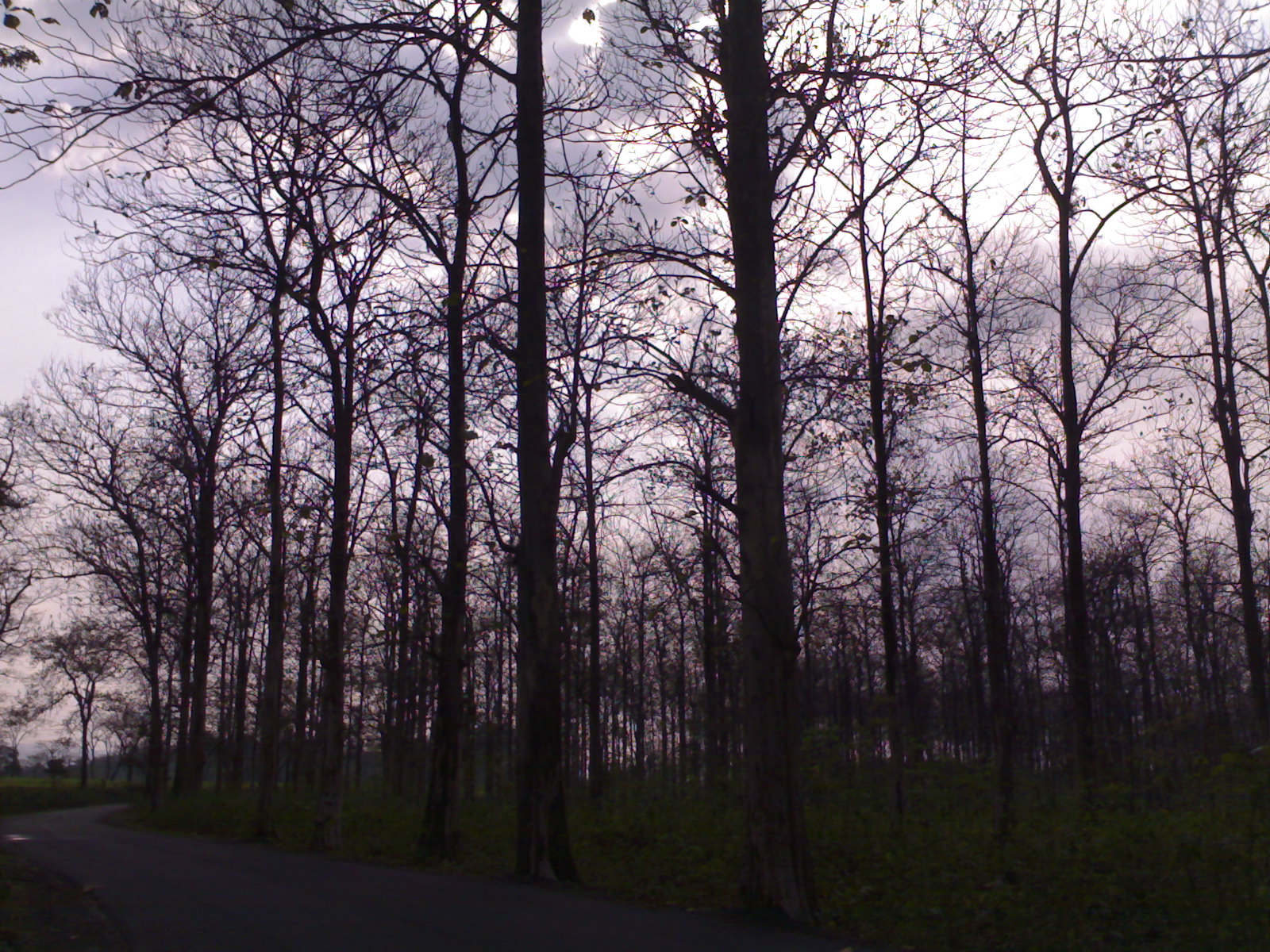
Naked Woods, Promise of Spring
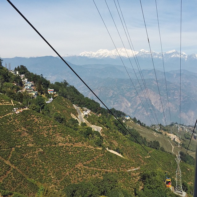
The Cable Car Hop to Darjeeling;
Topographic Map of Ambari, West Bengal, India
Find elevation by address:

Places near Ambari, West Bengal, India:
Dabgram
Dabgram
Surya Sen Mahavidyalaya
Ghogomali
Baribhasha Central School
Fulbari
Babupara
Banglabandha
Dakshin Jibhakata
Unnamed Road
Panchagarh
Mechinagar
Pyarivitta
Atwari Upazila
Bhadrapur Airport
Birtamode
Rajgadh
Thakurgaon District
Jhapa
Thakurgaon
Recent Searches:
- Elevation of Corso Fratelli Cairoli, 35, Macerata MC, Italy
- Elevation of Tallevast Rd, Sarasota, FL, USA
- Elevation of 4th St E, Sonoma, CA, USA
- Elevation of Black Hollow Rd, Pennsdale, PA, USA
- Elevation of Oakland Ave, Williamsport, PA, USA
- Elevation of Pedrógão Grande, Portugal
- Elevation of Klee Dr, Martinsburg, WV, USA
- Elevation of Via Roma, Pieranica CR, Italy
- Elevation of Tavkvetili Mountain, Georgia
- Elevation of Hartfords Bluff Cir, Mt Pleasant, SC, USA