Elevation of Bhadrapur Airport, Birtamod-Chandragadhi Road, Bhadrapur, Nepal
Location: Nepal > Eastern Region > Mechi >
Longitude: 88.0774522
Latitude: 26.5695228
Elevation: 99m / 325feet
Barometric Pressure: 100KPa
Elevation Map:
Satellite Map:
Related Photos:

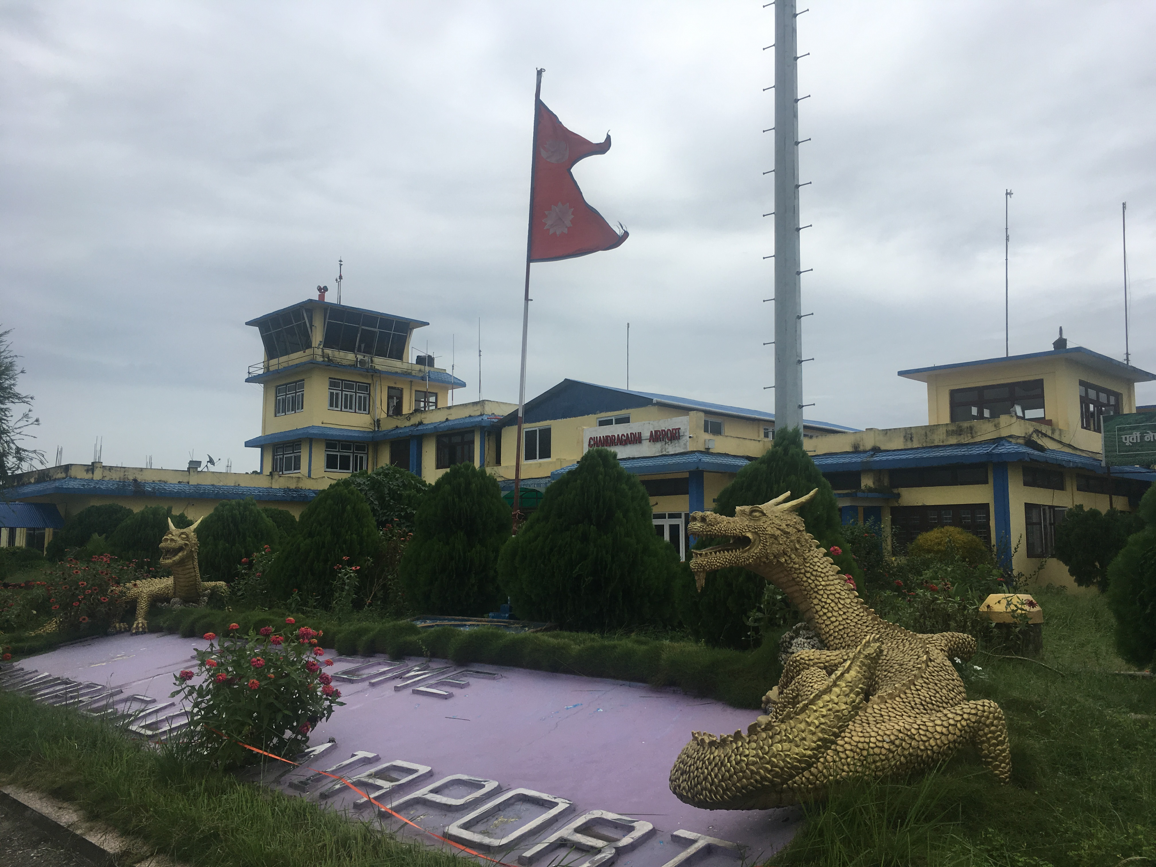
WP_20130908_010

Bhadrapur

Nepal entry gate at Kakarbhitta

RK_IMG_4287.jpg

RK_IMG_4280.jpg

RK_IMG_4276.jpg
RK_IMG_4274.jpg

RK_IMG_4287.jpg

RK_IMG_4280.jpg

RK_IMG_4276.jpg

RK_IMG_4274.jpg

NEPAL BORDER

LADIES FRISKING ROOM / NO PHOTOGRAPHY

20181010.3654.NEPAL.Birtamod

20181010.3656.NEPAL.Birtamod

20181010.3655.NEPAL.Birtamod

20181010.3657.NEPAL.Birtamod

20181010.3658.NEPAL.Birtamod

20181010.3660.NEPAL.Birtamod

20181010.3661.NEPAL.Charpane

20181010.3653.NEPAL.Bagurbhitta

20181010.3659.NEPAL.Birtamod

20181010.3652.NEPAL.Charali
Topographic Map of Bhadrapur Airport, Birtamod-Chandragadhi Road, Bhadrapur, Nepal
Find elevation by address:

Places near Bhadrapur Airport, Birtamod-Chandragadhi Road, Bhadrapur, Nepal:
Pyarivitta
Mechinagar
Birtamode
Rajgadh
Jhapa
Banglabandha
Fulbari
Babupara
Surya Sen Mahavidyalaya
Dabgram
Dabgram
Kishanganj
Dakshin Jibhakata
Ghogomali
Baribhasha Central School
Unnamed Road
Ambari
Atwari Upazila
Kishanganj
Panchagarh
Recent Searches:
- Elevation of Corso Fratelli Cairoli, 35, Macerata MC, Italy
- Elevation of Tallevast Rd, Sarasota, FL, USA
- Elevation of 4th St E, Sonoma, CA, USA
- Elevation of Black Hollow Rd, Pennsdale, PA, USA
- Elevation of Oakland Ave, Williamsport, PA, USA
- Elevation of Pedrógão Grande, Portugal
- Elevation of Klee Dr, Martinsburg, WV, USA
- Elevation of Via Roma, Pieranica CR, Italy
- Elevation of Tavkvetili Mountain, Georgia
- Elevation of Hartfords Bluff Cir, Mt Pleasant, SC, USA