Elevation map of Mechi, Nepal
Location: Nepal > Eastern Region >
Longitude: 87.9334803
Latitude: 26.8760007
Elevation: 551m / 1808feet
Barometric Pressure: 95KPa
Elevation Map:
Satellite Map:
Related Photos:
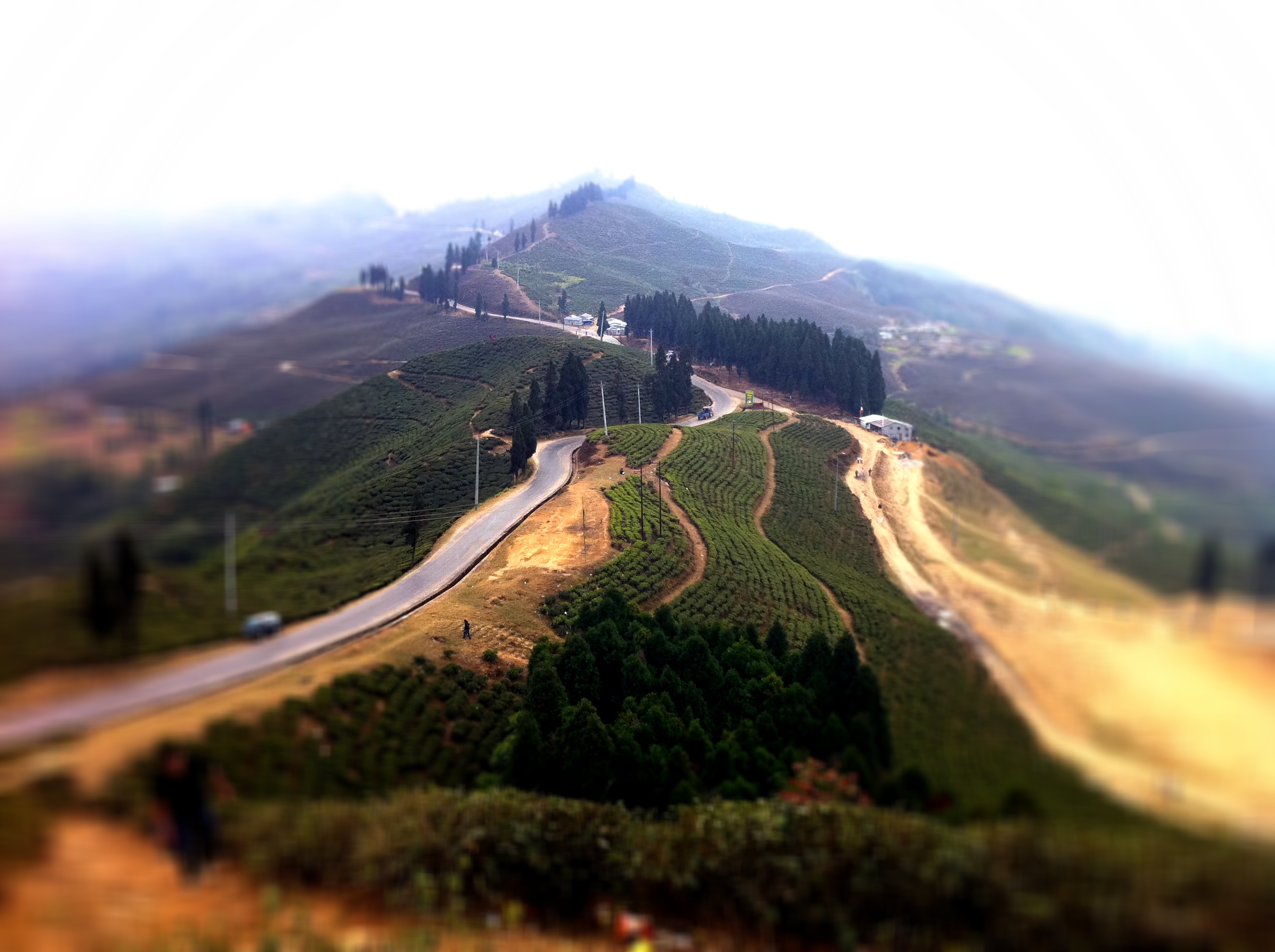
Famous dear Kanyaam Tea State
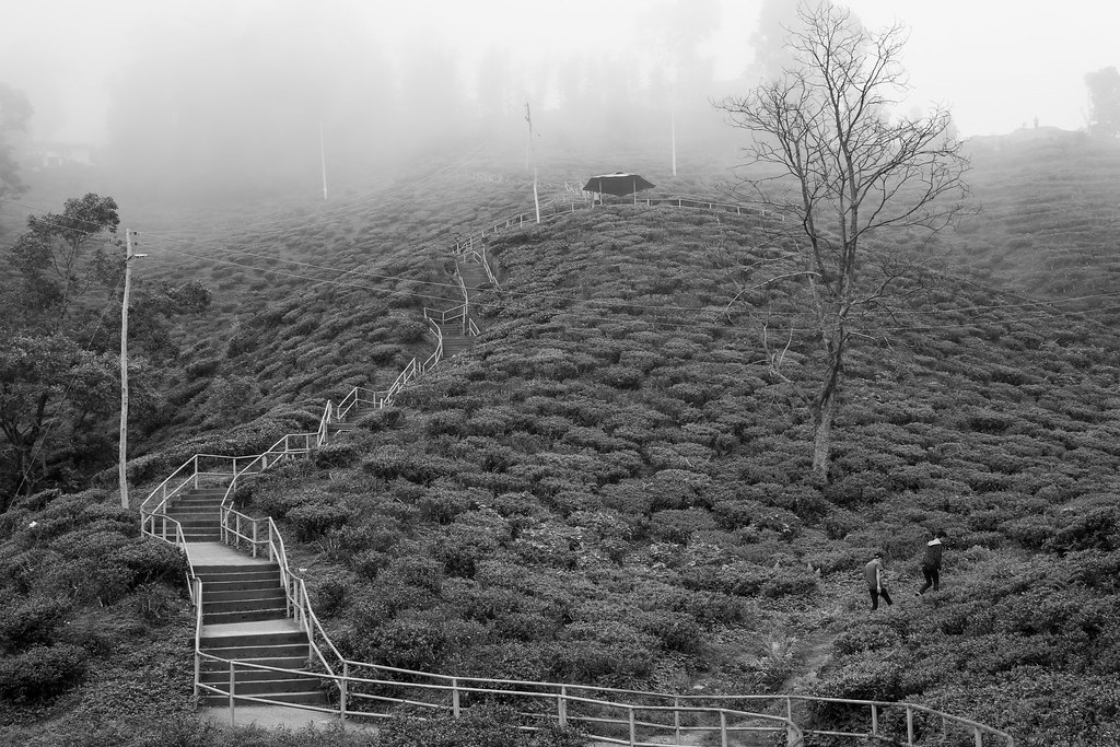
Escape, Ilam Nepal
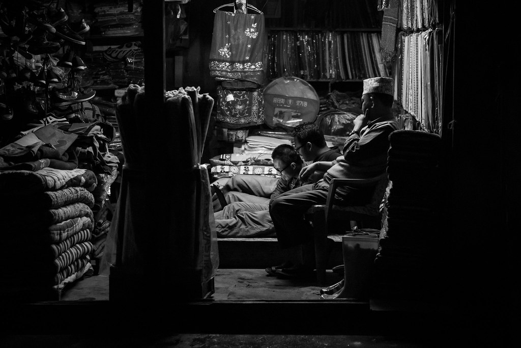
Street, Ilam Nepal

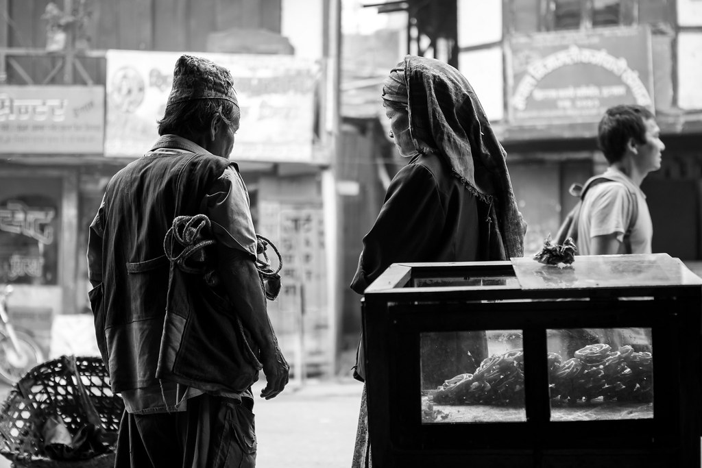
Portrait, Ilam Nepal

Portrait, Ilam Nepal
Carriers, Ilam Nepal

Street, Ilam Nepal
When you ask around for a good veg restaurant in #kalimpong everyone seem to suggest Shikhar. Clearly an overhyped place in this small town. Tasteless Thupka and so so #momos #travelpics #westbengal
Topographic Map of Mechi, Nepal
Find elevation by address:

Places in Mechi, Nepal:
Lelep
Mechinagar
Jhapa
Ilam
Taplejung
Budhabare
Maipokhari
Rajgadh
Birtamode
Suryodaya
Chamaita
Phidim
Papung
Kanyam
Ilam
Panchthar
Mouwa
Places near Mechi, Nepal:
Ilam
Summit Hotel
Ilam
Tea Garden Restaurant
Puwa Khola
Puwa Khola
Mangalbare
Suryodaya
Fikkal
Kanyam, Ilam
Kanyam
Maipokhari
Chamaita
Budhabare
Sandakphu
Ranke Bazzar, Panchthar
Ranke
Rishi Road
Mane Bhanjang
Rishi Road
Recent Searches:
- Elevation of Corso Fratelli Cairoli, 35, Macerata MC, Italy
- Elevation of Tallevast Rd, Sarasota, FL, USA
- Elevation of 4th St E, Sonoma, CA, USA
- Elevation of Black Hollow Rd, Pennsdale, PA, USA
- Elevation of Oakland Ave, Williamsport, PA, USA
- Elevation of Pedrógão Grande, Portugal
- Elevation of Klee Dr, Martinsburg, WV, USA
- Elevation of Via Roma, Pieranica CR, Italy
- Elevation of Tavkvetili Mountain, Georgia
- Elevation of Hartfords Bluff Cir, Mt Pleasant, SC, USA