Elevation of Suryodaya, Nepal
Location: Nepal > Eastern Region > Mechi >
Longitude: 88.0607565
Latitude: 26.8895698
Elevation: 1443m / 4734feet
Barometric Pressure: 85KPa
Elevation Map:
Satellite Map:
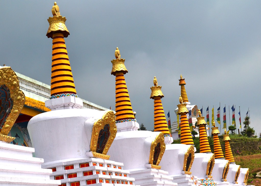
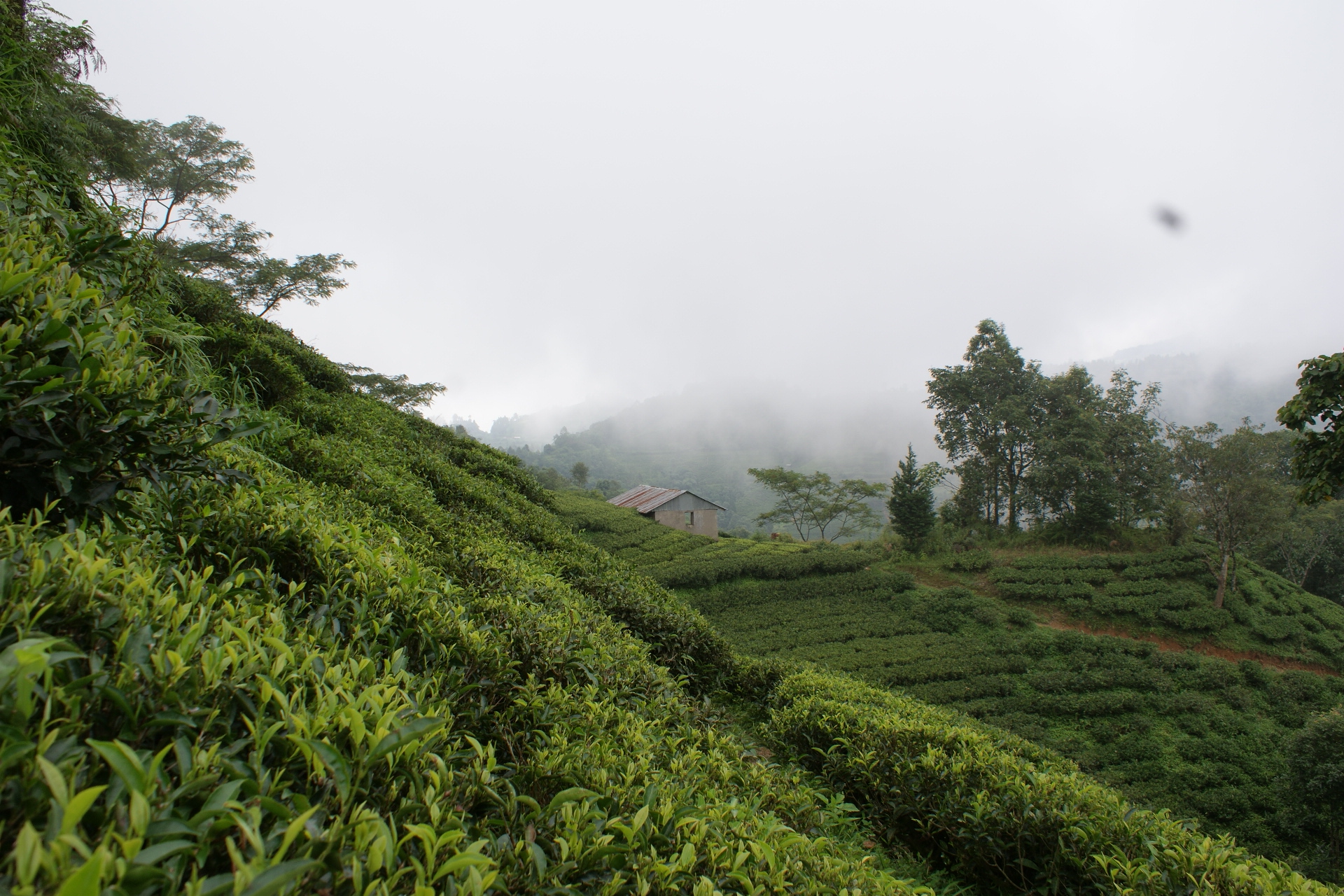
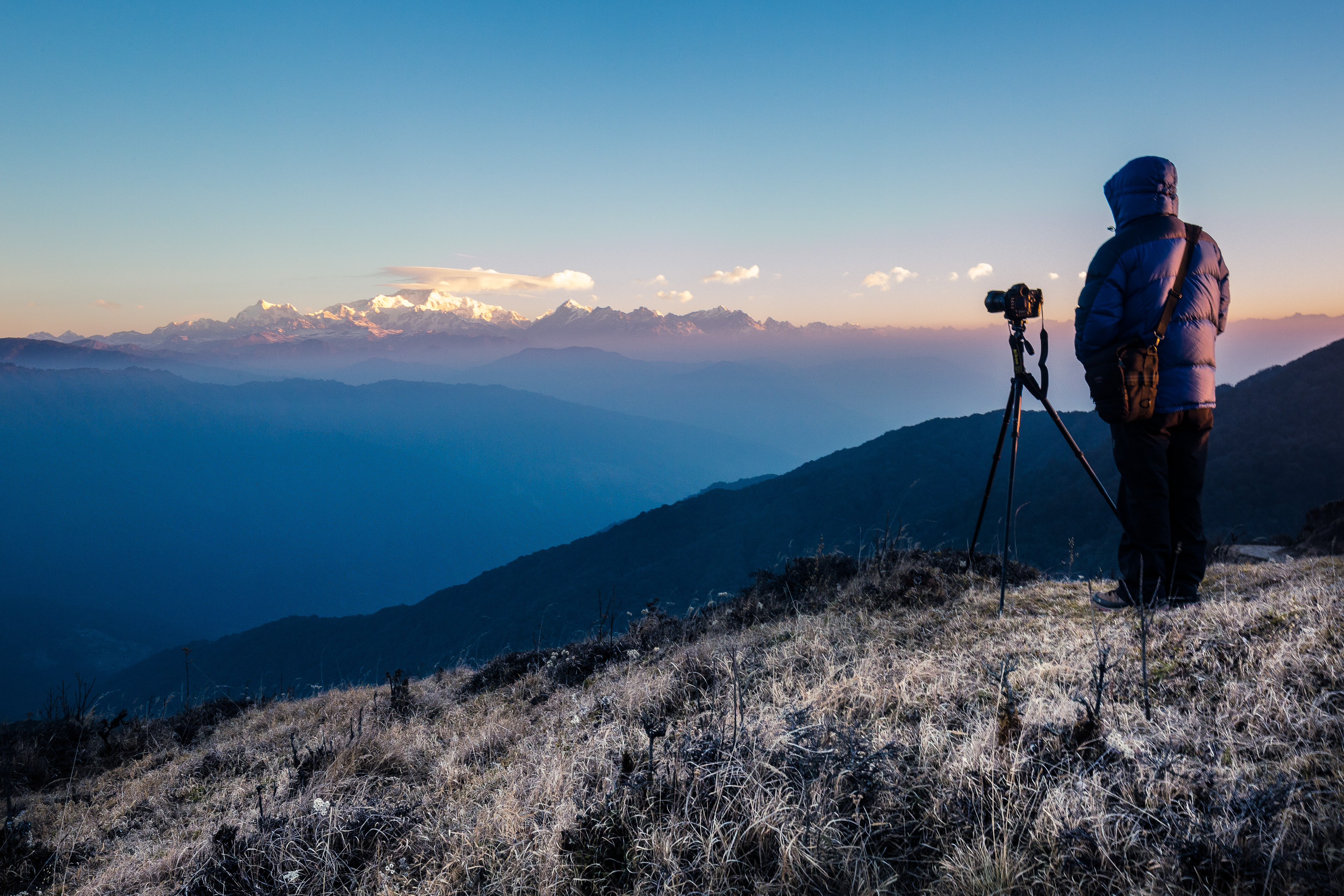
Related Photos:

Flying Pigeons.
Chitrey Valley [Explored]

Playground at the foothill.

Tea gardens from Tingling view point. Hills of Nepal in the distance.

Looking south from Tingling view point

DARJEELING VIEW
DARJEELING VIEW

Buddah Singalila Park

Distant views of the Kanchenjunga himal at sunrise from Tumling

Distant views of the Kanchenjunga himal at sunrise from Tumling

Distant views of the Kanchenjunga himal at sunrise from Tumling

Drama of light

Mt Kanchengangha
Aishwarya Tea Estate, Shree Antu

Agriculture Research Station near Jaubari

Looking west towards Jaubari

A sunset from Tumling

tumling sunst

Manebhanjan Football Stadium
Singalila Ridge, West-Bengal

Mane Bhanjang from the west

Aishwarya Tea Estate, Shree Antu

Looking NE from north of Chitre

Tea Garden 10 years

Aishwarya Tea Estate, Shree Antu

Aishwarya Tea Estate, Shree Antu

Meghma from the north

Aishwarya Tea Estate, Shree Antu

Aishwarya Tea Estate, Shree Antu

Aishwarya Tea Estate, Shree Antu

Aishwarya Tea Estate, Shree Antu
Topographic Map of Suryodaya, Nepal
Find elevation by address:

Places in Suryodaya, Nepal:
Places near Suryodaya, Nepal:
Fikkal
Kanyam, Ilam
Kanyam
Rishi Road
Rishi Road
Mane Bhanjang
Mirik Bazar
Mirik
Mechi
Ilam
Majua
Summit Hotel
Tea Garden Restaurant
Ilam
Sukhia Pokhari
Budhabare
Sandakphu
Ambootia Tea Garden
Lepcha Jagat
Puwa Khola
Recent Searches:
- Elevation of Corso Fratelli Cairoli, 35, Macerata MC, Italy
- Elevation of Tallevast Rd, Sarasota, FL, USA
- Elevation of 4th St E, Sonoma, CA, USA
- Elevation of Black Hollow Rd, Pennsdale, PA, USA
- Elevation of Oakland Ave, Williamsport, PA, USA
- Elevation of Pedrógão Grande, Portugal
- Elevation of Klee Dr, Martinsburg, WV, USA
- Elevation of Via Roma, Pieranica CR, Italy
- Elevation of Tavkvetili Mountain, Georgia
- Elevation of Hartfords Bluff Cir, Mt Pleasant, SC, USA