Elevation of th St, Humboldt, SD, USA
Location: United States > South Dakota > Minnehaha County >
Longitude: -97.088359
Latitude: 43.5433949
Elevation: 467m / 1532feet
Barometric Pressure: 0KPa
Related Photos:

Sunset view

Farmers Elevator Co.

Futures, Inc.

View through Trailer

Farm View - Timothy

View From John Deere

View of Farm

Sunset at Dewey Gevik

day06 314

South Dakota storm chase May 10th, 2015.

2009-08-25_15-12-27.jpg
.
.

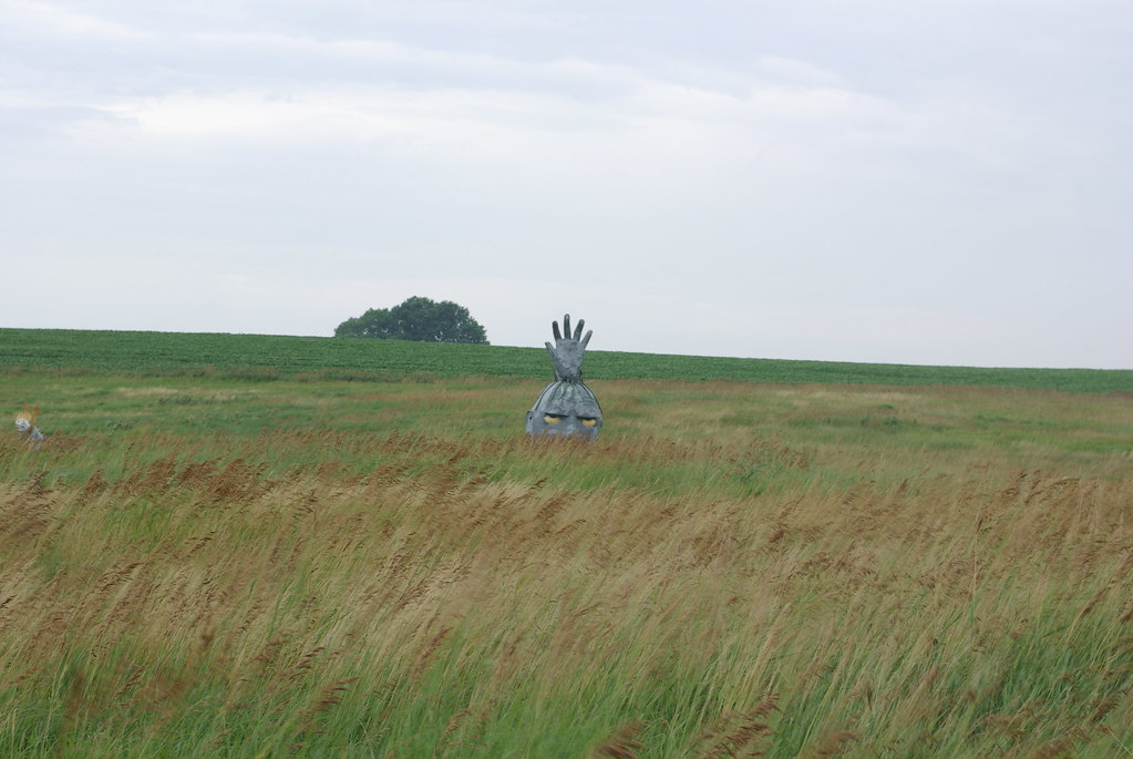
The Horned God

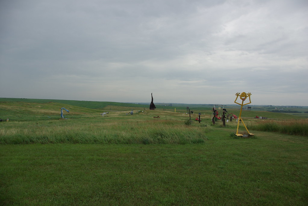
Roadside art. #SouthDakota
Roadside art. #SouthDakota

Tower with Farm and Field
day06 312

Bean Field
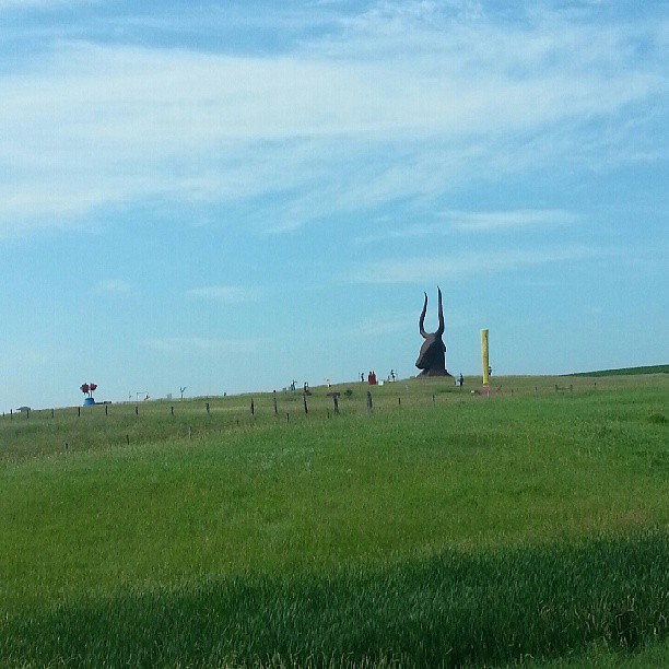
Porter Sculpture Park

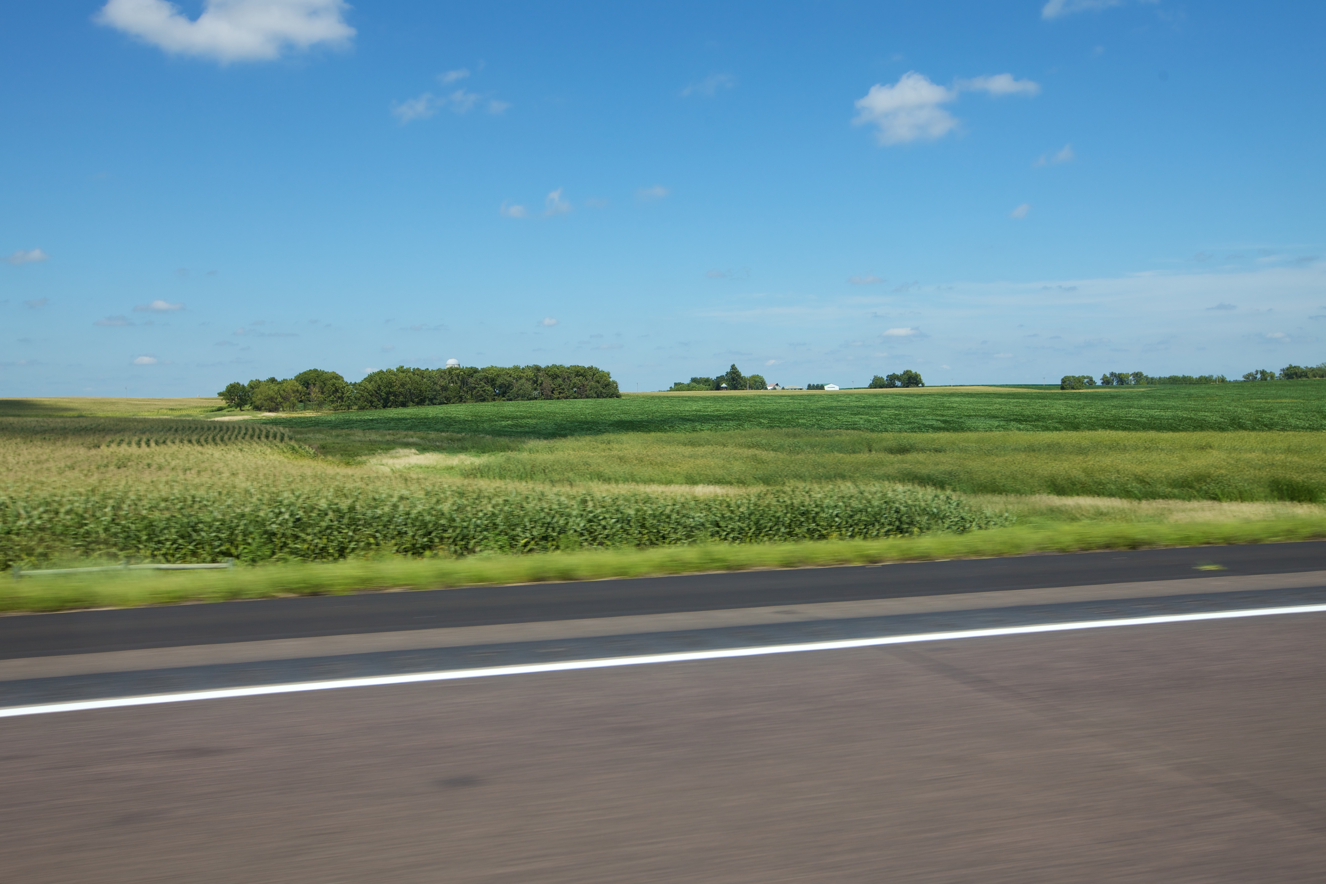
Corn Field

Morning at Vermillion Lake

Grazing Cows

Cows Pasturing

Fall colors at Lake Vermillion

Last Minutes Of The Day

Fishing at Sunset
Topographic Map of th St, Humboldt, SD, USA
Find elevation by address:

Places near th St, Humboldt, SD, USA:
Turner County
800 S Albert St
Freeman
Bridgewater
Bridgewater Township
43228 282nd St
Menno
Yankton County
Mission Hill Township
Mission Hill
43165 296th St
Hutchinson County
Merchant St, Gayville, SD, USA
Wittenberg Township
Gayville Township
42384 282nd St
44732 Sd-50
3813 Peninah St
3813 Peninah St
Santa Rosa Circle
Recent Searches:
- Elevation map of Greenland, Greenland
- Elevation of Sullivan Hill, New York, New York, 10002, USA
- Elevation of Morehead Road, Withrow Downs, Charlotte, Mecklenburg County, North Carolina, 28262, USA
- Elevation of 2800, Morehead Road, Withrow Downs, Charlotte, Mecklenburg County, North Carolina, 28262, USA
- Elevation of Yangbi Yi Autonomous County, Yunnan, China
- Elevation of Pingpo, Yangbi Yi Autonomous County, Yunnan, China
- Elevation of Mount Malong, Pingpo, Yangbi Yi Autonomous County, Yunnan, China
- Elevation map of Yongping County, Yunnan, China
- Elevation of North 8th Street, Palatka, Putnam County, Florida, 32177, USA
- Elevation of 107, Big Apple Road, East Palatka, Putnam County, Florida, 32131, USA
- Elevation of Jiezi, Chongzhou City, Sichuan, China
- Elevation of Chongzhou City, Sichuan, China
- Elevation of Huaiyuan, Chongzhou City, Sichuan, China
- Elevation of Qingxia, Chengdu, Sichuan, China
- Elevation of Corso Fratelli Cairoli, 35, Macerata MC, Italy
- Elevation of Tallevast Rd, Sarasota, FL, USA
- Elevation of 4th St E, Sonoma, CA, USA
- Elevation of Black Hollow Rd, Pennsdale, PA, USA
- Elevation of Oakland Ave, Williamsport, PA, USA
- Elevation of Pedrógão Grande, Portugal