Elevation of Bridgewater Township, SD, USA
Location: United States > South Dakota > Mccook County >
Longitude: -97.546388
Latitude: 43.5610347
Elevation: 423m / 1388feet
Barometric Pressure: 96KPa
Elevation Map:
Satellite Map:
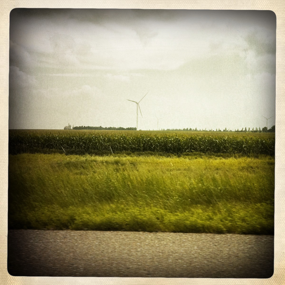
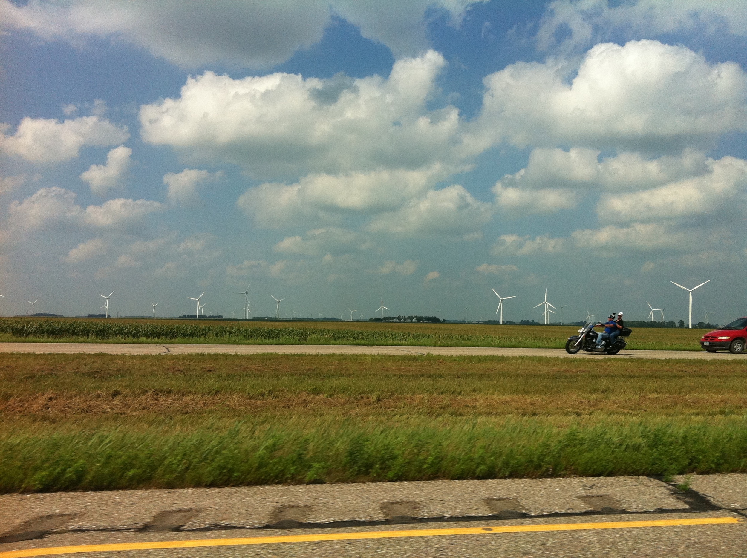
Related Photos:

Middle of Somewhere

South Dakota Lightning

South Dakota Lightning

Toe Truck?

Camera Roll-436

window shots

Camera Roll-435
Camera Roll-443

Camera Roll-437

Camera Roll-442
window shots

McCook Grade Raise (3)

day06 319

McCook Grade Raise (2)

McCook Grade Raise (1)
Topographic Map of Bridgewater Township, SD, USA
Find elevation by address:

Places in Bridgewater Township, SD, USA:
Places near Bridgewater Township, SD, USA:
Bridgewater
Freeman
800 S Albert St
43228 282nd St
Wittenberg Township
Hutchinson County
42384 282nd St
Menno
Cross Plains Township
Turner County
Ethan
Scotland
Dimock
th St, Humboldt, SD, USA
Parkston
301 S Ben St
43165 296th St
E Main St, Parkston, SD, USA
264th Street
Rome Township
Recent Searches:
- Elevation of Corso Fratelli Cairoli, 35, Macerata MC, Italy
- Elevation of Tallevast Rd, Sarasota, FL, USA
- Elevation of 4th St E, Sonoma, CA, USA
- Elevation of Black Hollow Rd, Pennsdale, PA, USA
- Elevation of Oakland Ave, Williamsport, PA, USA
- Elevation of Pedrógão Grande, Portugal
- Elevation of Klee Dr, Martinsburg, WV, USA
- Elevation of Via Roma, Pieranica CR, Italy
- Elevation of Tavkvetili Mountain, Georgia
- Elevation of Hartfords Bluff Cir, Mt Pleasant, SC, USA