Elevation of th Ave, Monticello, IA, USA
Location: United States > Iowa > Jones County > Wayne >
Longitude: -91.2290844
Latitude: 42.151115
Elevation: 303m / 994feet
Barometric Pressure: 0KPa
Related Photos:

The Warden's Office - Iowa State Penitentiary in Anamosa. RAGBRAI XL

Country Sunset
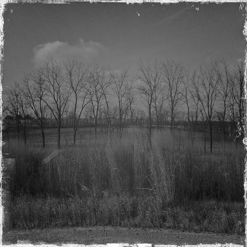
Iowa Road Trip - More Monticello

Morning sunrise

Moving Water

Morning sunrise

Iowa scene from our drive Friday night. #latergram

The Trail Back

Morning sunrise

The truck arrives
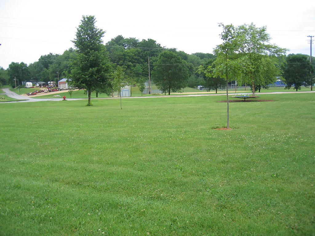
2014-06-08 13.17.12

Morning sunrise
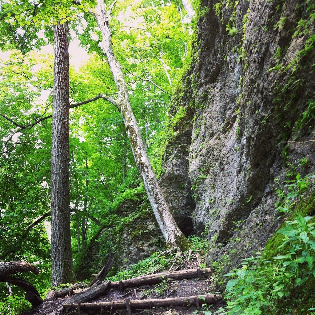
Iowa Road Trip - Langworthy

Morning sunrise

Morning sunrise

Wapsi river where crop walk started

Farm No. 1, Iowa Men's Reformatory- Anamosa IA (1)
IMG_4703.JPG
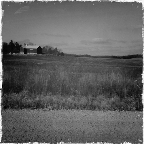
Post Office 52310 (Monticello, Iowa)

Post Office 52310 (Monticello, Iowa)
Topographic Map of th Ave, Monticello, IA, USA
Find elevation by address:

Places near th Ave, Monticello, IA, USA:
15116 180th Ave
15116 180th Ave
Wayne
517 Kaitlynn Ave
Amber Rd X44, Anamosa, IA, USA
E Main St, Anamosa, IA, USA
Anamosa
South Ford Street
Cass
Jones County
12703 228th Ave
Fairview
10312 236th Ave
Rohrback St, Anamosa, IA, USA
Morley
Scotch Grove
Jackson St, Olin, IA, USA
Olin
Rome
Greenfield
Recent Searches:
- Elevation of 24, Auburn Bay Crescent SE, Auburn Bay, Calgary, Alberta, T3M 0A6, Canada
- Elevation of Denver, 2314, Arapahoe Street, Five Points, Denver, Colorado, 80205, USA
- Elevation of Community of the Beatitudes, 2924, West 43rd Avenue, Sunnyside, Denver, Colorado, 80211, USA
- Elevation map of Litang County, Sichuan, China
- Elevation map of Madoi County, Qinghai, China
- Elevation of 3314, Ohio State Route 114, Payne, Paulding County, Ohio, 45880, USA
- Elevation of Sarahills Drive, Saratoga, Santa Clara County, California, 95070, USA
- Elevation of Town of Bombay, Franklin County, New York, USA
- Elevation of 9, Convent Lane, Center Moriches, Suffolk County, New York, 11934, USA
- Elevation of Saint Angelas Convent, 9, Convent Lane, Center Moriches, Suffolk County, New York, 11934, USA
- Elevation of 131st Street Southwest, Mukilteo, Snohomish County, Washington, 98275, USA
- Elevation of 304, Harrison Road, Naples, Cumberland County, Maine, 04055, USA
- Elevation of 2362, Timber Ridge Road, Harrisburg, Cabarrus County, North Carolina, 28075, USA
- Elevation of Ridge Road, Marshalltown, Marshall County, Iowa, 50158, USA
- Elevation of 2459, Misty Shadows Drive, Pigeon Forge, Sevier County, Tennessee, 37862, USA
- Elevation of 8043, Brightwater Way, Spring Hill, Williamson County, Tennessee, 37179, USA
- Elevation of Starkweather Road, San Luis, Costilla County, Colorado, 81152, USA
- Elevation of 5277, Woodside Drive, Baton Rouge, East Baton Rouge Parish, Louisiana, 70808, USA
- Elevation of 1139, Curtin Street, Shepherd Park Plaza, Houston, Harris County, Texas, 77018, USA
- Elevation of 136, Sellers Lane, Repton, Monroe County, Alabama, 36475, USA