Elevation of Jones County, IA, USA
Location: United States > Iowa >
Longitude: -91.135302
Latitude: 42.1516737
Elevation: 288m / 945feet
Barometric Pressure: 98KPa
Elevation Map:
Satellite Map:
Related Photos:

The Warden's Office - Iowa State Penitentiary in Anamosa. RAGBRAI XL

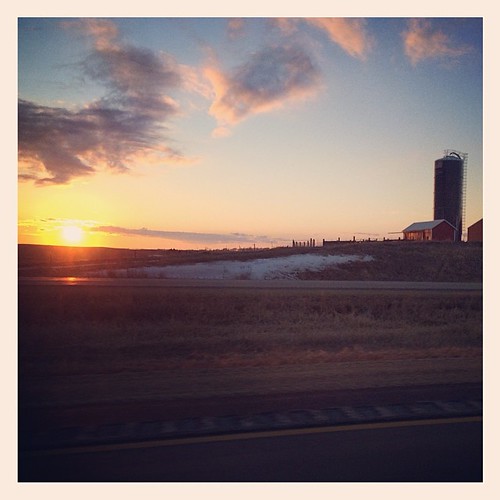
Country Sunset
Iowa Road Trip - More Monticello

Morning sunrise

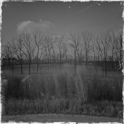
Moving Water

Morning sunrise
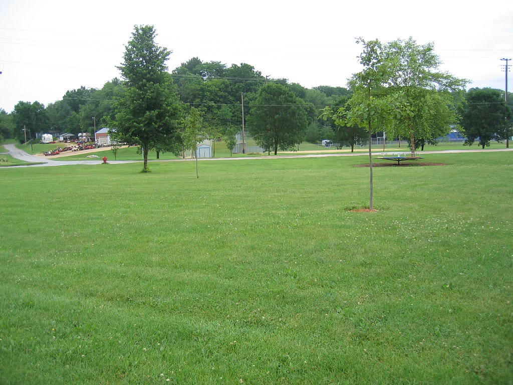
Iowa scene from our drive Friday night. #latergram

Morning sunrise

The truck arrives
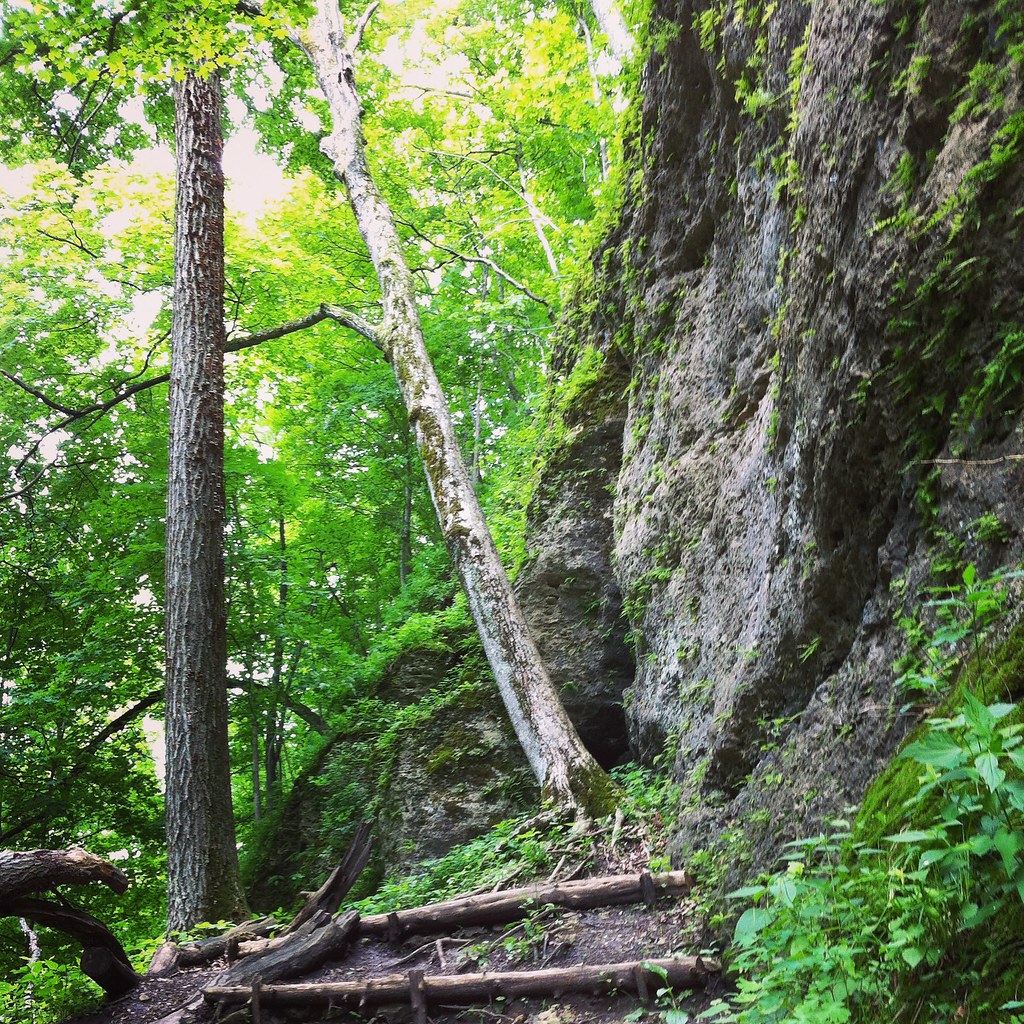
2014-06-08 13.17.12

Morning sunrise

Morning sunrise
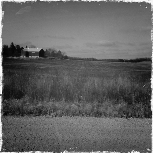
Iowa Road Trip - Langworthy

Morning sunrise

Wapsi river where crop walk started

Farm No. 1, Iowa Men's Reformatory- Anamosa IA (1)
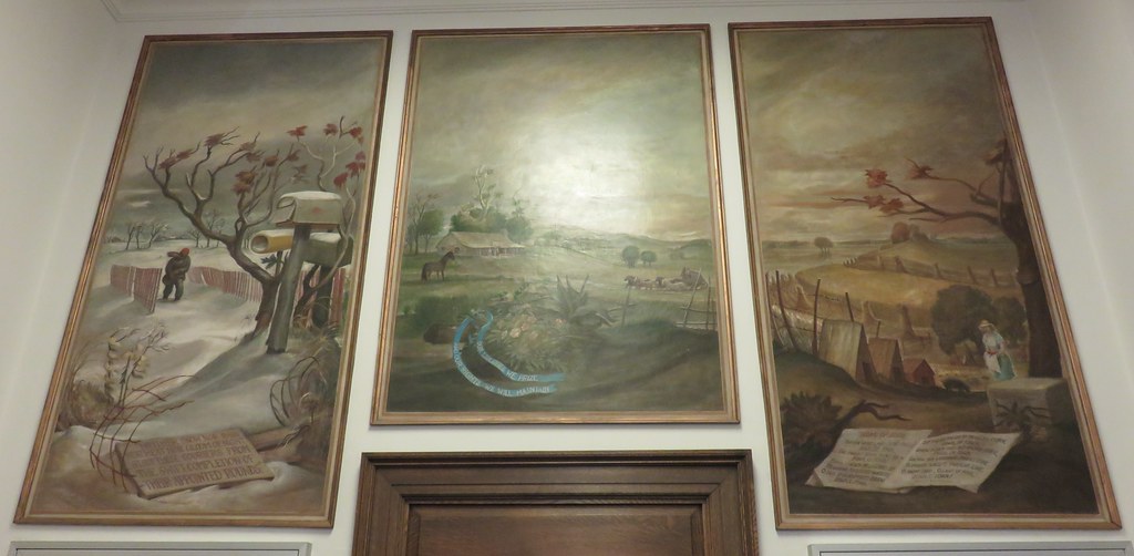
Post Office 52310 (Monticello, Iowa)
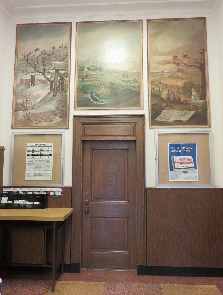
Post Office 52310 (Monticello, Iowa)
IMG_4703.JPG
Topographic Map of Jones County, IA, USA
Find elevation by address:

Places in Jones County, IA, USA:
Places near Jones County, IA, USA:
Amber Rd X44, Anamosa, IA, USA
Wayne
Scotch Grove
15116 180th Ave
15116 180th Ave
15116 180th Ave
517 Kaitlynn Ave
Jackson St, Olin, IA, USA
Olin
E Main St, Anamosa, IA, USA
Anamosa
South Ford Street
Wyoming
W Main St, Wyoming, IA, USA
Cass
Rohrback St, Anamosa, IA, USA
Morley
Fairview
Rome
12703 228th Ave
Recent Searches:
- Elevation of Corso Fratelli Cairoli, 35, Macerata MC, Italy
- Elevation of Tallevast Rd, Sarasota, FL, USA
- Elevation of 4th St E, Sonoma, CA, USA
- Elevation of Black Hollow Rd, Pennsdale, PA, USA
- Elevation of Oakland Ave, Williamsport, PA, USA
- Elevation of Pedrógão Grande, Portugal
- Elevation of Klee Dr, Martinsburg, WV, USA
- Elevation of Via Roma, Pieranica CR, Italy
- Elevation of Tavkvetili Mountain, Georgia
- Elevation of Hartfords Bluff Cir, Mt Pleasant, SC, USA