Elevation of Lovell, IA, USA
Location: United States > Iowa > Jones County >
Longitude: -91.192911
Latitude: 42.2497874
Elevation: 249m / 817feet
Barometric Pressure: 98KPa
Elevation Map:
Satellite Map:
Related Photos:
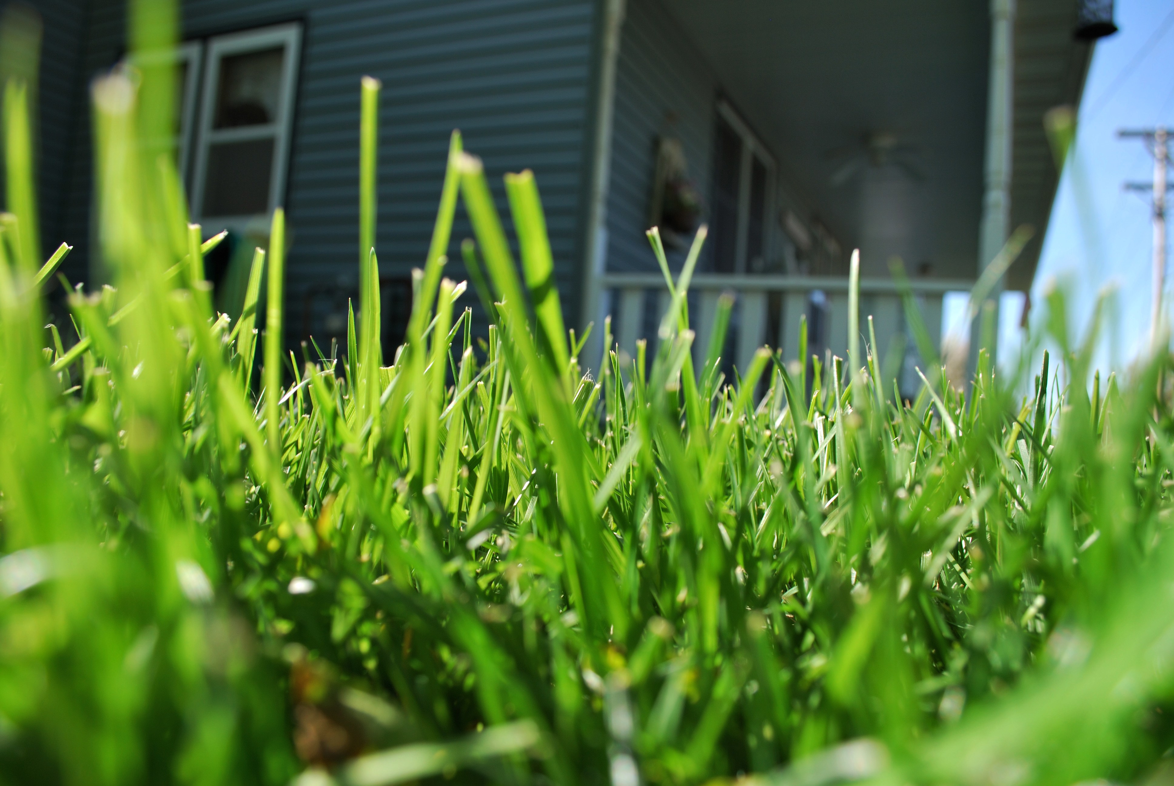
Ant's eye view

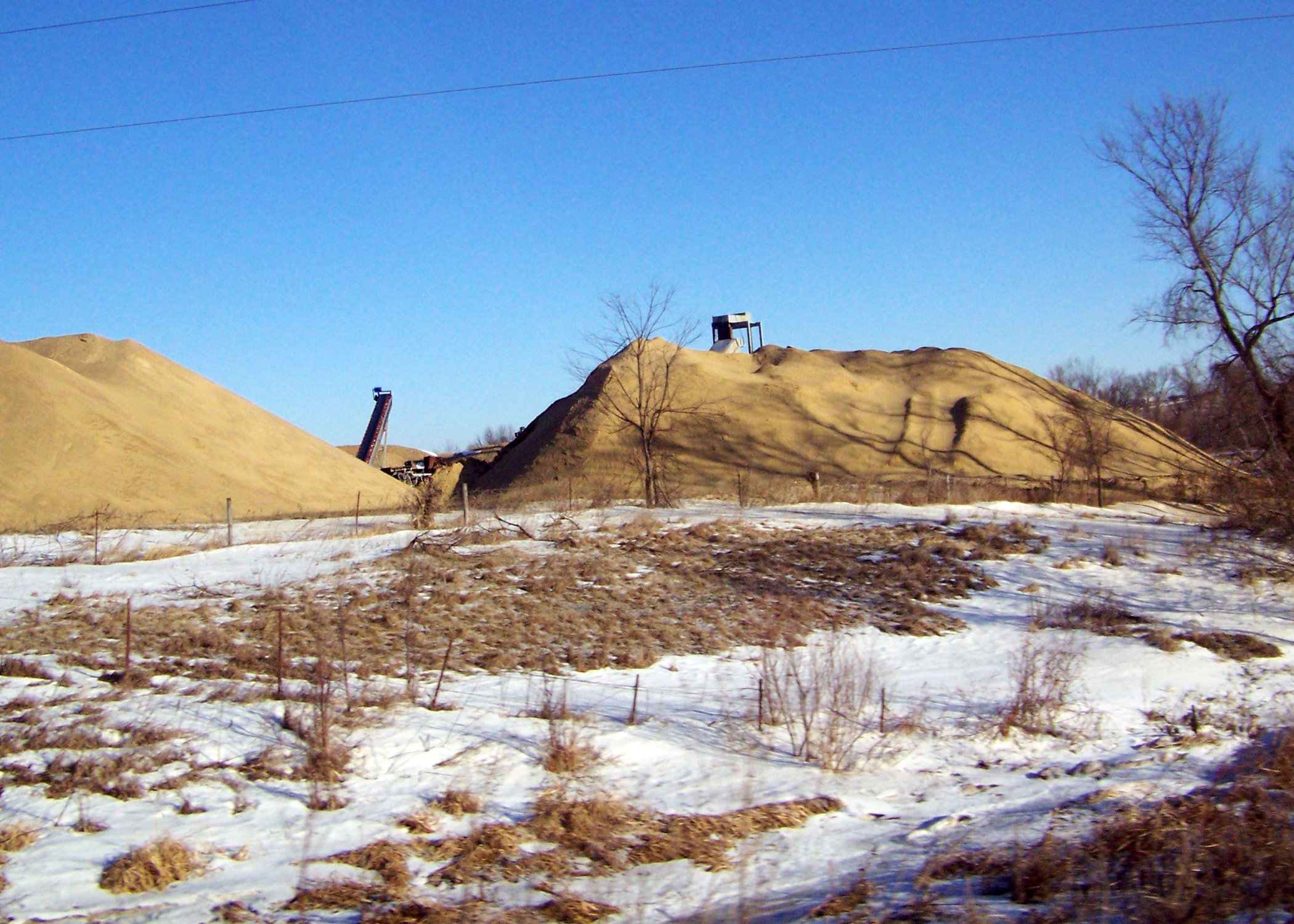
Iowa Farm

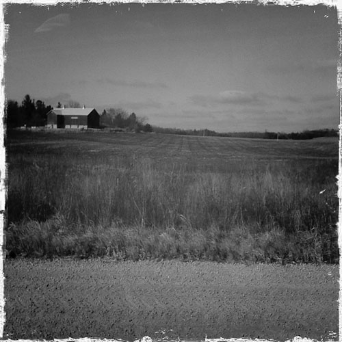
Country Sunset

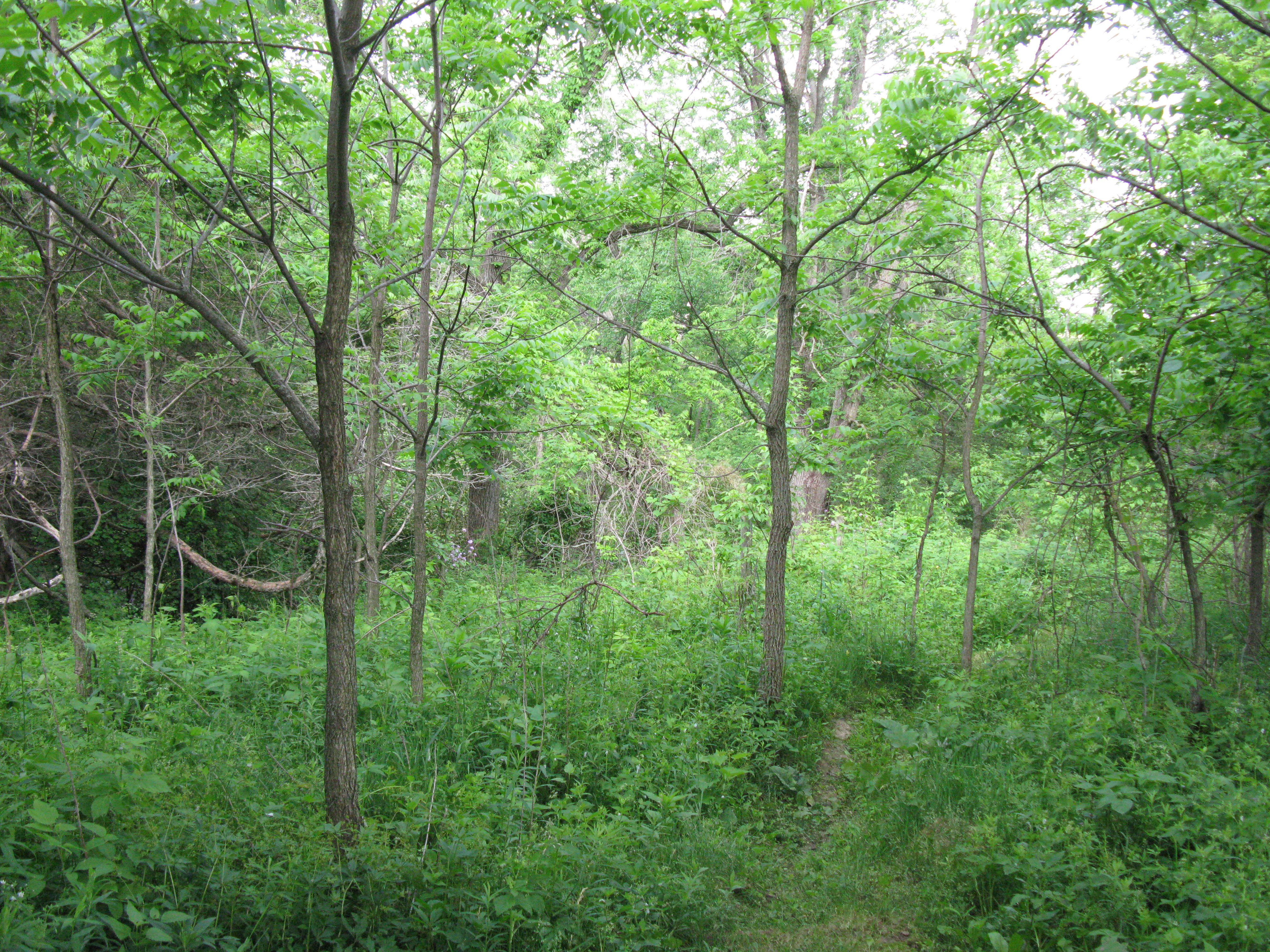
soybean field

Iowa Road Trip - More Monticello

Morning sunrise
12/31/08 Iowa

Morning sunrise

Iowa scene from our drive Friday night. #latergram

Morning sunrise

2014-06-08 13.17.12

Morning sunrise

Morning sunrise
Iowa Road Trip - Langworthy

Morning sunrise
IMG_1652.JPG

Post Office 52310 (Monticello, Iowa)
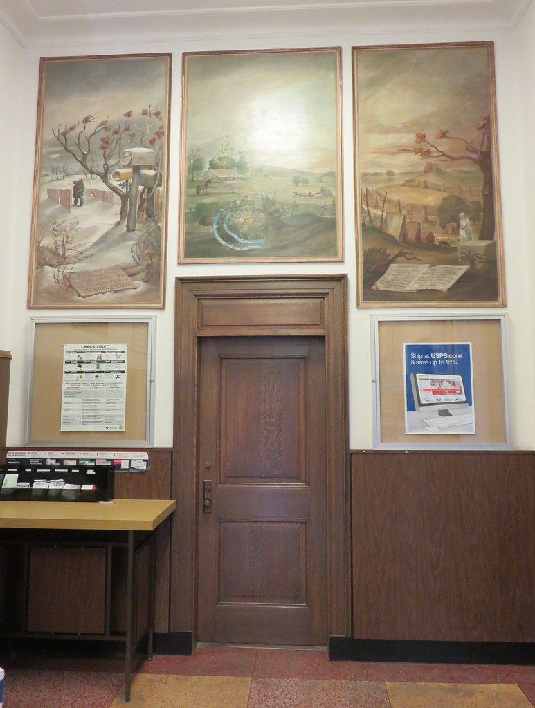
Post Office 52310 (Monticello, Iowa)
Topographic Map of Lovell, IA, USA
Find elevation by address:

Places in Lovell, IA, USA:
Places near Lovell, IA, USA:
843 Deer Run Dr
E 1st St, Monticello, IA, USA
Monticello
18404 Hickory Grove Rd
Dale's Ford Rd, Monticello, IA, USA
Co Rd X31, Monticello, IA, USA
Cascade
Worthington
2nd St W, Worthington, IA, USA
Cascade
1st Ave W, Cascade, IA, USA
Dodge
Dyersville
1st Ave SE, Farley, IA, USA
Farley
Milo
th St, Manchester, IA, USA
Farley, IA, USA
28995 Lansing Rd
Pape Rd, Farley, IA, USA
Recent Searches:
- Elevation of Corso Fratelli Cairoli, 35, Macerata MC, Italy
- Elevation of Tallevast Rd, Sarasota, FL, USA
- Elevation of 4th St E, Sonoma, CA, USA
- Elevation of Black Hollow Rd, Pennsdale, PA, USA
- Elevation of Oakland Ave, Williamsport, PA, USA
- Elevation of Pedrógão Grande, Portugal
- Elevation of Klee Dr, Martinsburg, WV, USA
- Elevation of Via Roma, Pieranica CR, Italy
- Elevation of Tavkvetili Mountain, Georgia
- Elevation of Hartfords Bluff Cir, Mt Pleasant, SC, USA