Elevation of Dale's Ford Rd, Monticello, IA, USA
Location: United States > Iowa > Jones County > Scotch Grove >
Longitude: -91.081992
Latitude: 42.194228
Elevation: 302m / 991feet
Barometric Pressure: 98KPa
Elevation Map:
Satellite Map:
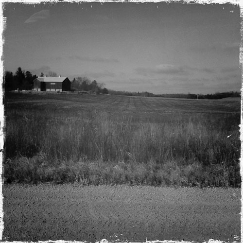
Related Photos:
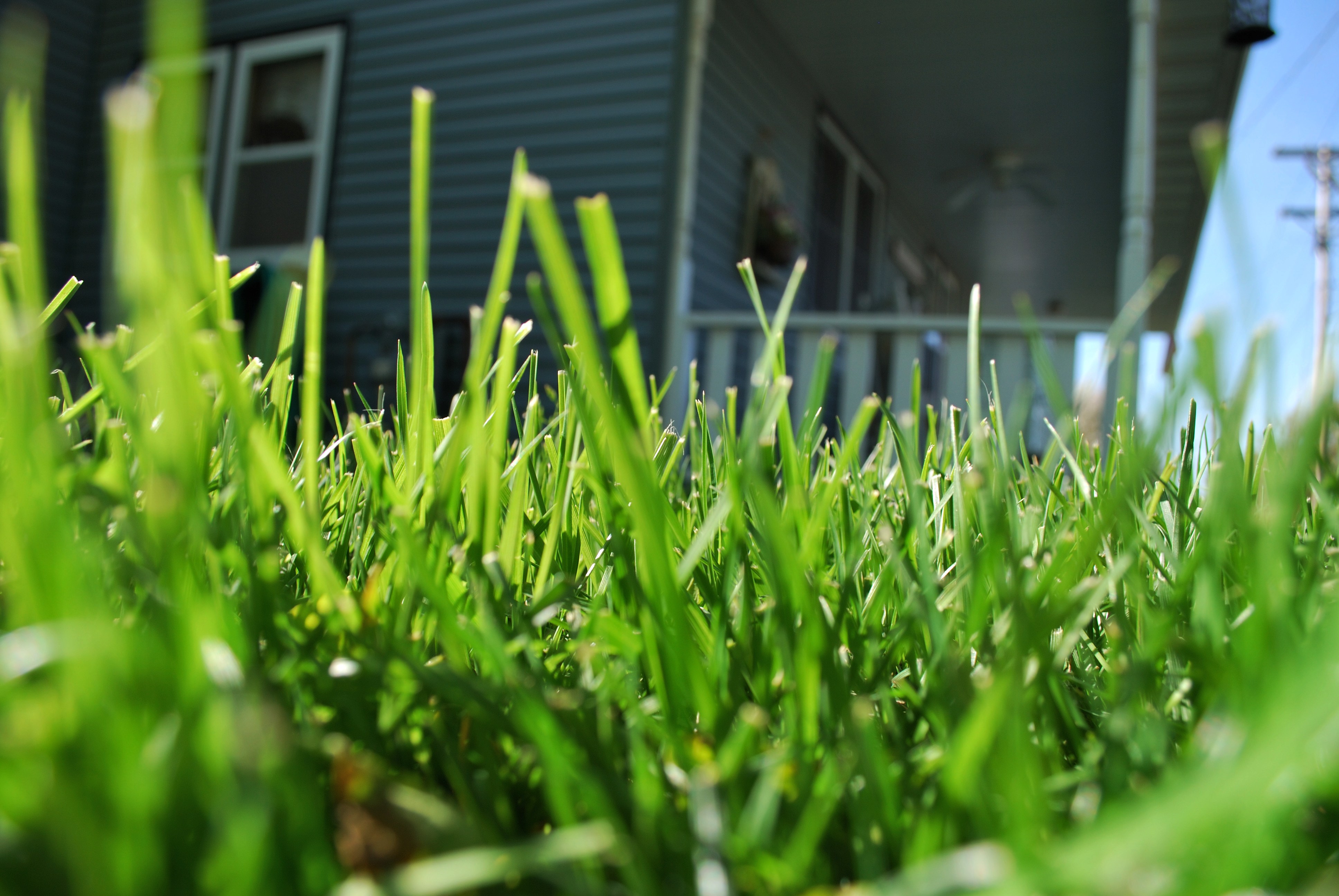
Ant's eye view

Post Office 52310 (Monticello, Iowa)
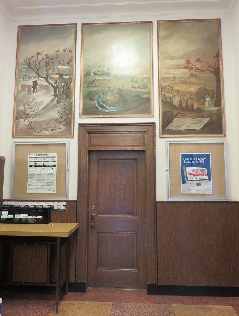
Post Office 52310 (Monticello, Iowa)

Country Sunset

Maquoketa River

Christmas Day Road

Iowa Road Trip - More Monticello

Morning sunrise

Christmas Day Road
12/31/08 Iowa

Morning sunrise

Iowa scene from our drive Friday night. #latergram

Christmas Day Road

Morning sunrise

The truck arrives
2014-06-08 13.17.12

End of another day...

Morning sunrise
Iowa Road Trip - Langworthy

Morning sunrise

Morning sunrise

MN/WI/IA
Topographic Map of Dale's Ford Rd, Monticello, IA, USA
Find elevation by address:

Places near Dale's Ford Rd, Monticello, IA, USA:
Monticello
E 1st St, Monticello, IA, USA
Lovell
Cascade
1st Ave W, Cascade, IA, USA
843 Deer Run Dr
Cascade
2nd St W, Worthington, IA, USA
Worthington
Dodge
18404 Hickory Grove Rd
E Pleasant Grove Rd, Epworth, IA, USA
Co Rd X31, Monticello, IA, USA
1st Ave SE, Farley, IA, USA
Farley
Prairie Creek
Taylor
Farley, IA, USA
Bernard
Dyersville
Recent Searches:
- Elevation of Corso Fratelli Cairoli, 35, Macerata MC, Italy
- Elevation of Tallevast Rd, Sarasota, FL, USA
- Elevation of 4th St E, Sonoma, CA, USA
- Elevation of Black Hollow Rd, Pennsdale, PA, USA
- Elevation of Oakland Ave, Williamsport, PA, USA
- Elevation of Pedrógão Grande, Portugal
- Elevation of Klee Dr, Martinsburg, WV, USA
- Elevation of Via Roma, Pieranica CR, Italy
- Elevation of Tavkvetili Mountain, Georgia
- Elevation of Hartfords Bluff Cir, Mt Pleasant, SC, USA