Elevation of Wayne, IA, USA
Location: United States > Iowa > Jones County >
Longitude: -91.1929114
Latitude: 42.1708451
Elevation: 294m / 965feet
Barometric Pressure: 0KPa
Related Photos:

The Warden's Office - Iowa State Penitentiary in Anamosa. RAGBRAI XL

Country Sunset

Morning sunrise

Moving Water

Morning sunrise

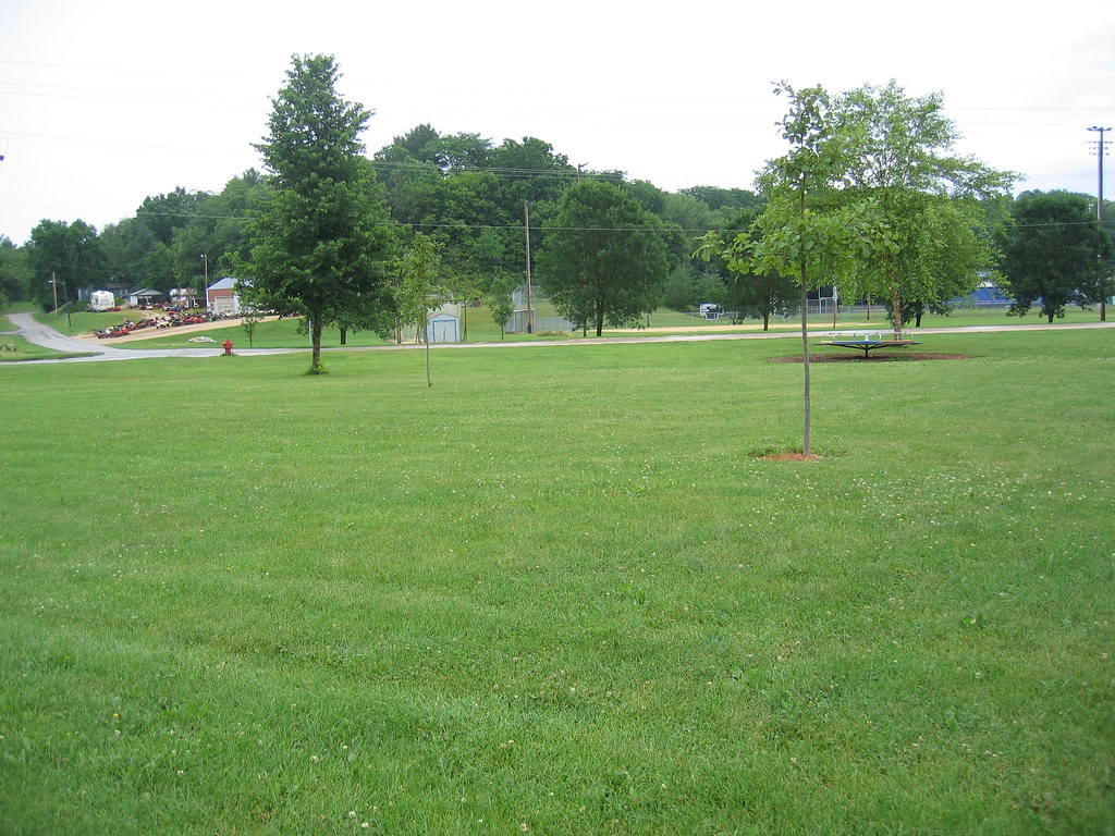
Iowa scene from our drive Friday night. #latergram
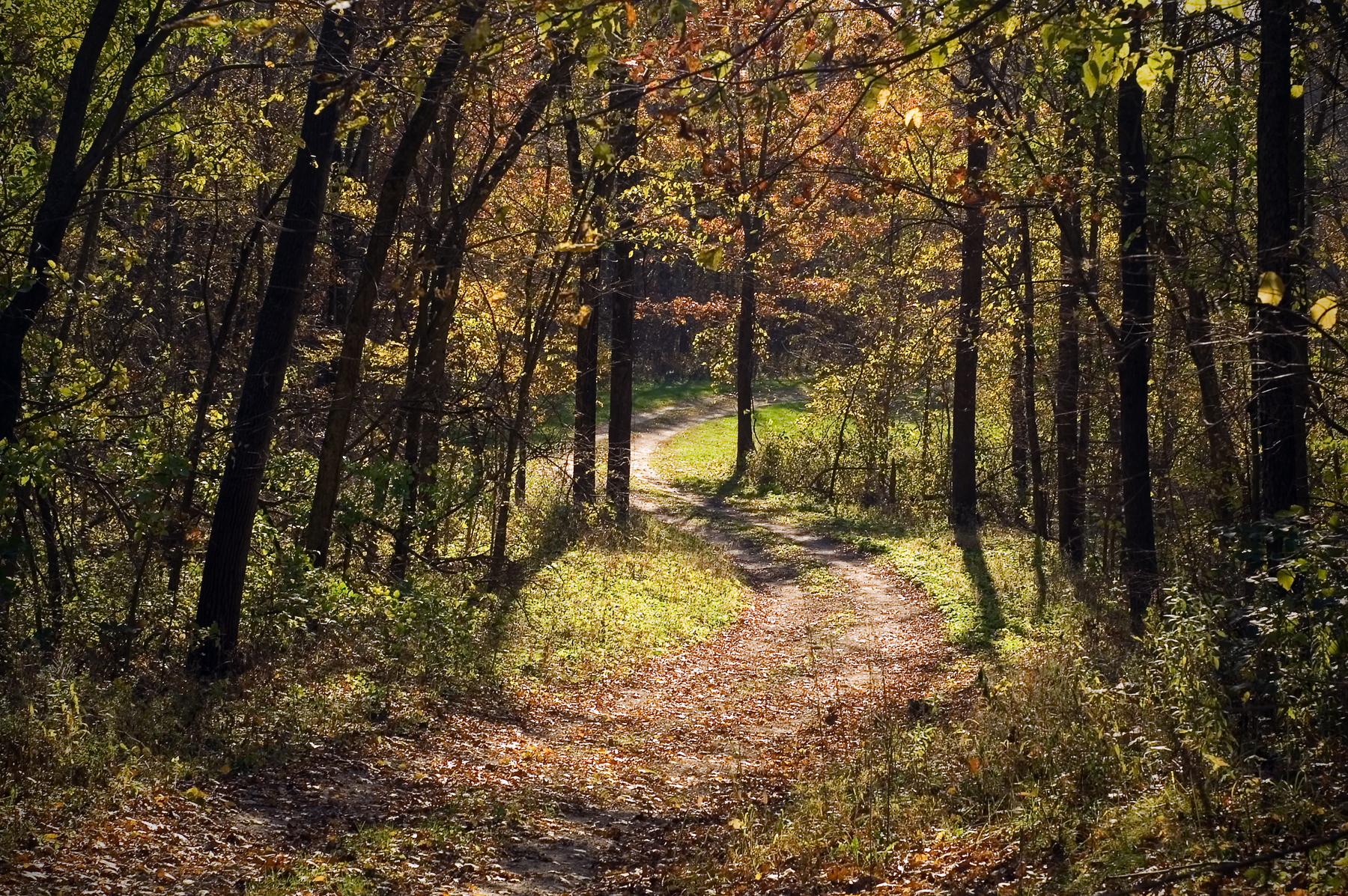
The Trail Back

Morning sunrise

The truck arrives
2014-06-08 13.17.12

Morning sunrise

Morning sunrise
Iowa Road Trip - Langworthy

Morning sunrise

Wapsi river where crop walk started

Farm No. 1, Iowa Men's Reformatory- Anamosa IA (1)

Post Office 52310 (Monticello, Iowa)
Post Office 52310 (Monticello, Iowa)
IMG_4703.JPG
Iowa Road Trip - More Monticello
Topographic Map of Wayne, IA, USA
Find elevation by address:

Places in Wayne, IA, USA:
Places near Wayne, IA, USA:
15116 180th Ave
15116 180th Ave
15116 180th Ave
Amber Rd X44, Anamosa, IA, USA
Jones County
517 Kaitlynn Ave
E Main St, Anamosa, IA, USA
Anamosa
South Ford Street
Scotch Grove
Cass
12703 228th Ave
Fairview
10312 236th Ave
Rohrback St, Anamosa, IA, USA
Morley
Jackson St, Olin, IA, USA
Olin
Rome
Wyoming
Recent Searches:
- Elevation map of Greenland, Greenland
- Elevation of Sullivan Hill, New York, New York, 10002, USA
- Elevation of Morehead Road, Withrow Downs, Charlotte, Mecklenburg County, North Carolina, 28262, USA
- Elevation of 2800, Morehead Road, Withrow Downs, Charlotte, Mecklenburg County, North Carolina, 28262, USA
- Elevation of Yangbi Yi Autonomous County, Yunnan, China
- Elevation of Pingpo, Yangbi Yi Autonomous County, Yunnan, China
- Elevation of Mount Malong, Pingpo, Yangbi Yi Autonomous County, Yunnan, China
- Elevation map of Yongping County, Yunnan, China
- Elevation of North 8th Street, Palatka, Putnam County, Florida, 32177, USA
- Elevation of 107, Big Apple Road, East Palatka, Putnam County, Florida, 32131, USA
- Elevation of Jiezi, Chongzhou City, Sichuan, China
- Elevation of Chongzhou City, Sichuan, China
- Elevation of Huaiyuan, Chongzhou City, Sichuan, China
- Elevation of Qingxia, Chengdu, Sichuan, China
- Elevation of Corso Fratelli Cairoli, 35, Macerata MC, Italy
- Elevation of Tallevast Rd, Sarasota, FL, USA
- Elevation of 4th St E, Sonoma, CA, USA
- Elevation of Black Hollow Rd, Pennsdale, PA, USA
- Elevation of Oakland Ave, Williamsport, PA, USA
- Elevation of Pedrógão Grande, Portugal