Elevation of Tekonsha, MI, USA
Location: United States > Michigan > Calhoun County > Tekonsha Township >
Longitude: -84.985805
Latitude: 42.0933791
Elevation: 287m / 942feet
Barometric Pressure: 0KPa
Related Photos:
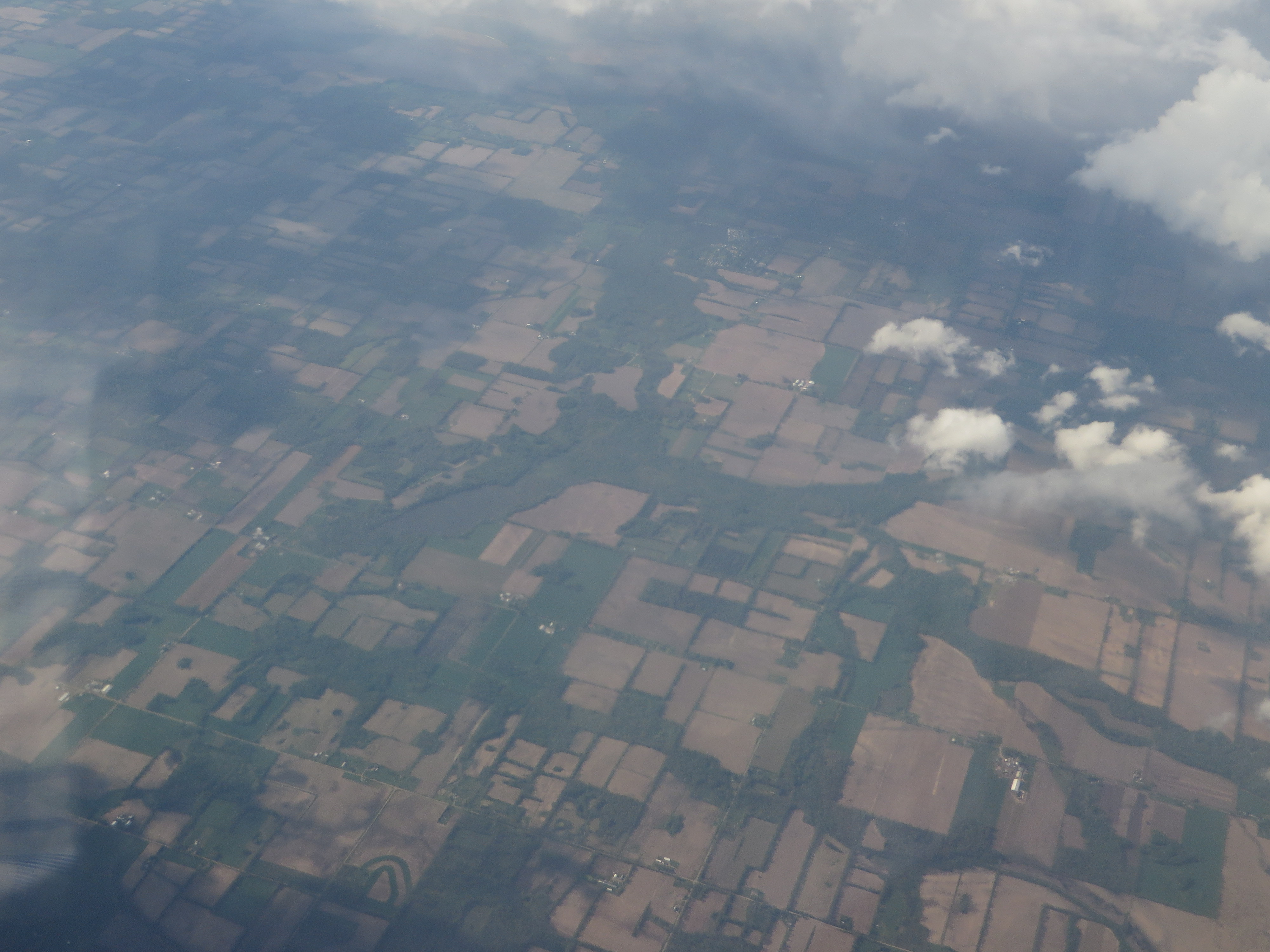
082-2

CH405 Sunset
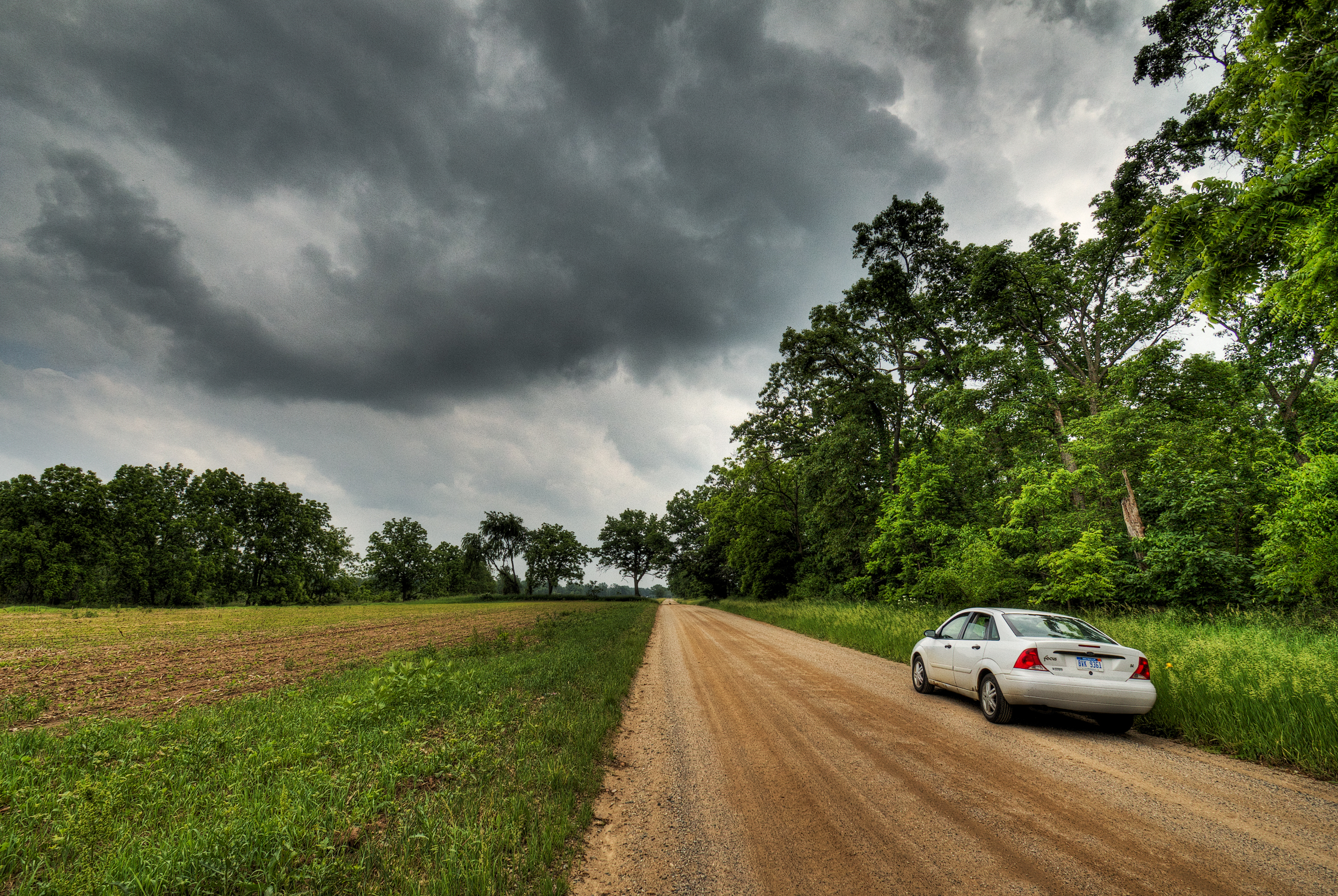
Riders on the Storm
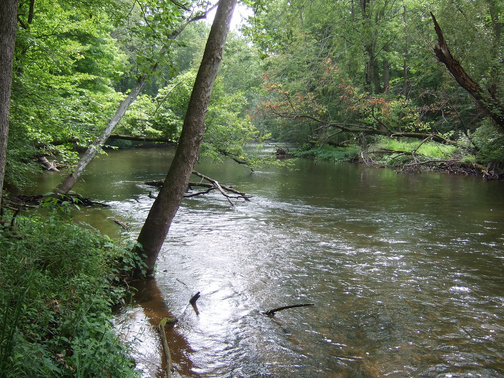
Fawn Darner habitat on the Coldwater River
Riverbend County Park

Hodunk Pond
Quaker Lake, Litchfield, Michigan
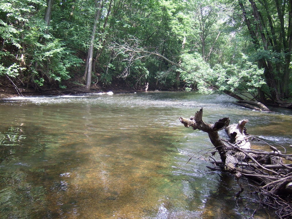
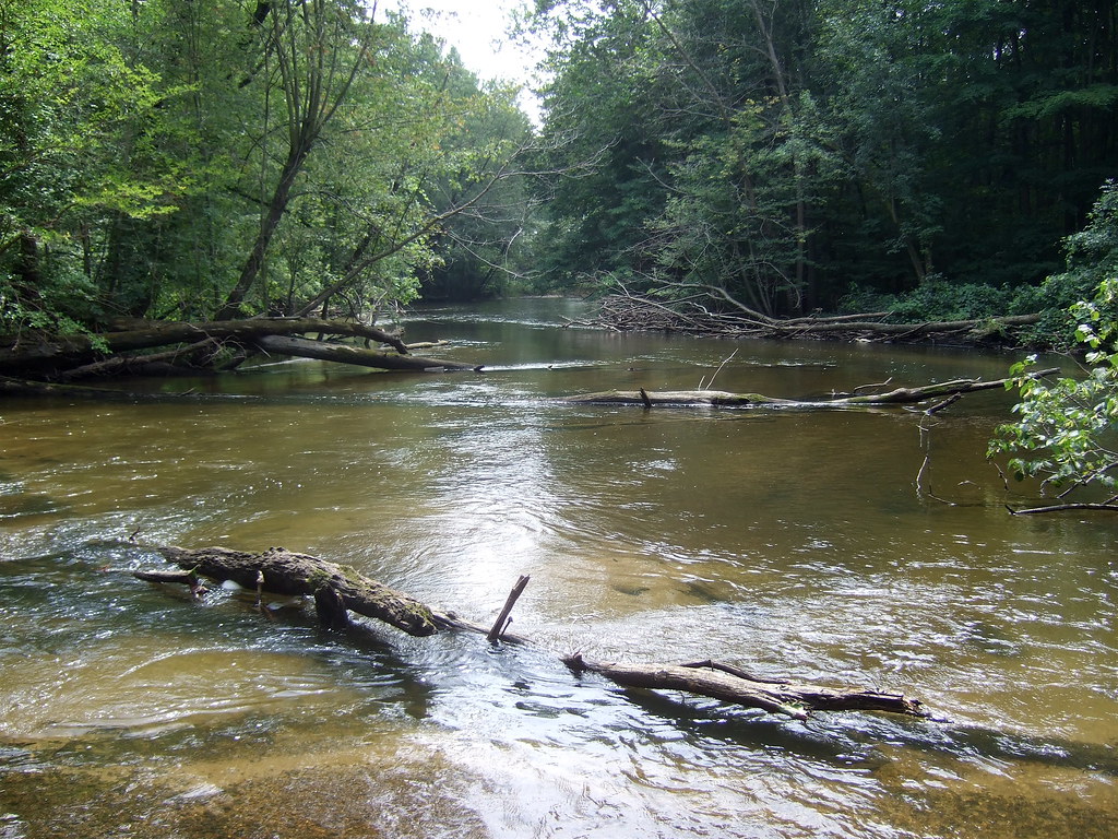
Coldwater River riffles

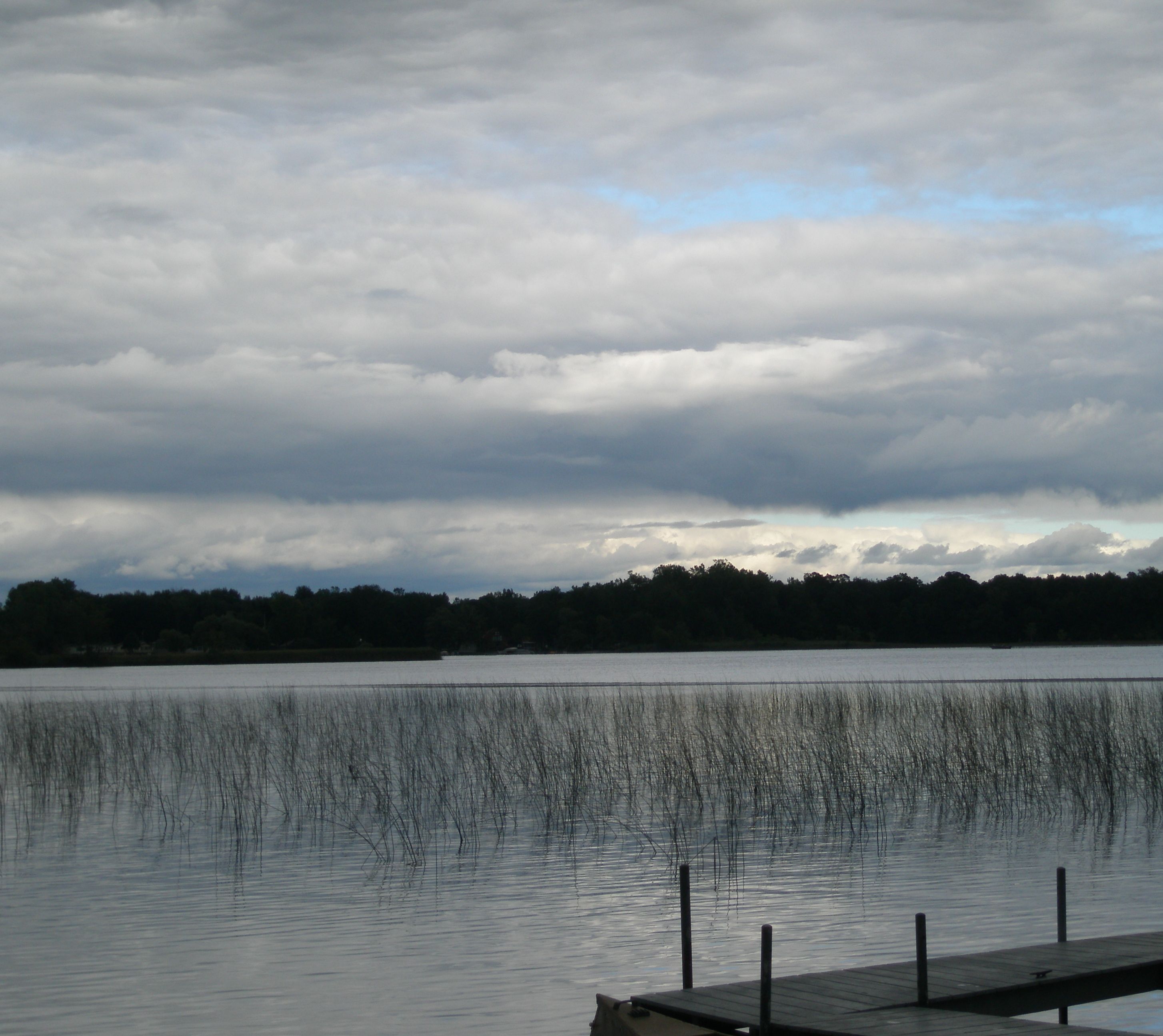
Lake marsh

Purple Loosestrife Beetle
Topographic Map of Tekonsha, MI, USA
Find elevation by address:

Places in Tekonsha, MI, USA:
Places near Tekonsha, MI, USA:
W Randall St, Tekonsha, MI, USA
Tekonsha Township
Girard Township
752 King Rd
Fredonia Township
Hodunk Rd, Coldwater, MI, USA
Butler Township
27 Parsons Ct
163 Marshall St
305 Francisco Rd
N Broadway St, Union City, MI, USA
Union City
Union
Coldwater
133 E Pearl St
1 E Chicago St, Quincy, MI, USA
Branch County
Condit Rd, Homer, MI, USA
Ovid Township
380 Collard Ln
Recent Searches:
- Elevation of 24, Auburn Bay Crescent SE, Auburn Bay, Calgary, Alberta, T3M 0A6, Canada
- Elevation of Denver, 2314, Arapahoe Street, Five Points, Denver, Colorado, 80205, USA
- Elevation of Community of the Beatitudes, 2924, West 43rd Avenue, Sunnyside, Denver, Colorado, 80211, USA
- Elevation map of Litang County, Sichuan, China
- Elevation map of Madoi County, Qinghai, China
- Elevation of 3314, Ohio State Route 114, Payne, Paulding County, Ohio, 45880, USA
- Elevation of Sarahills Drive, Saratoga, Santa Clara County, California, 95070, USA
- Elevation of Town of Bombay, Franklin County, New York, USA
- Elevation of 9, Convent Lane, Center Moriches, Suffolk County, New York, 11934, USA
- Elevation of Saint Angelas Convent, 9, Convent Lane, Center Moriches, Suffolk County, New York, 11934, USA
- Elevation of 131st Street Southwest, Mukilteo, Snohomish County, Washington, 98275, USA
- Elevation of 304, Harrison Road, Naples, Cumberland County, Maine, 04055, USA
- Elevation of 2362, Timber Ridge Road, Harrisburg, Cabarrus County, North Carolina, 28075, USA
- Elevation of Ridge Road, Marshalltown, Marshall County, Iowa, 50158, USA
- Elevation of 2459, Misty Shadows Drive, Pigeon Forge, Sevier County, Tennessee, 37862, USA
- Elevation of 8043, Brightwater Way, Spring Hill, Williamson County, Tennessee, 37179, USA
- Elevation of Starkweather Road, San Luis, Costilla County, Colorado, 81152, USA
- Elevation of 5277, Woodside Drive, Baton Rouge, East Baton Rouge Parish, Louisiana, 70808, USA
- Elevation of 1139, Curtin Street, Shepherd Park Plaza, Houston, Harris County, Texas, 77018, USA
- Elevation of 136, Sellers Lane, Repton, Monroe County, Alabama, 36475, USA