Elevation of Tekonsha Township, MI, USA
Location: United States > Michigan > Calhoun County >
Longitude: -85.002553
Latitude: 42.107936
Elevation: 286m / 938feet
Barometric Pressure: 98KPa
Elevation Map:
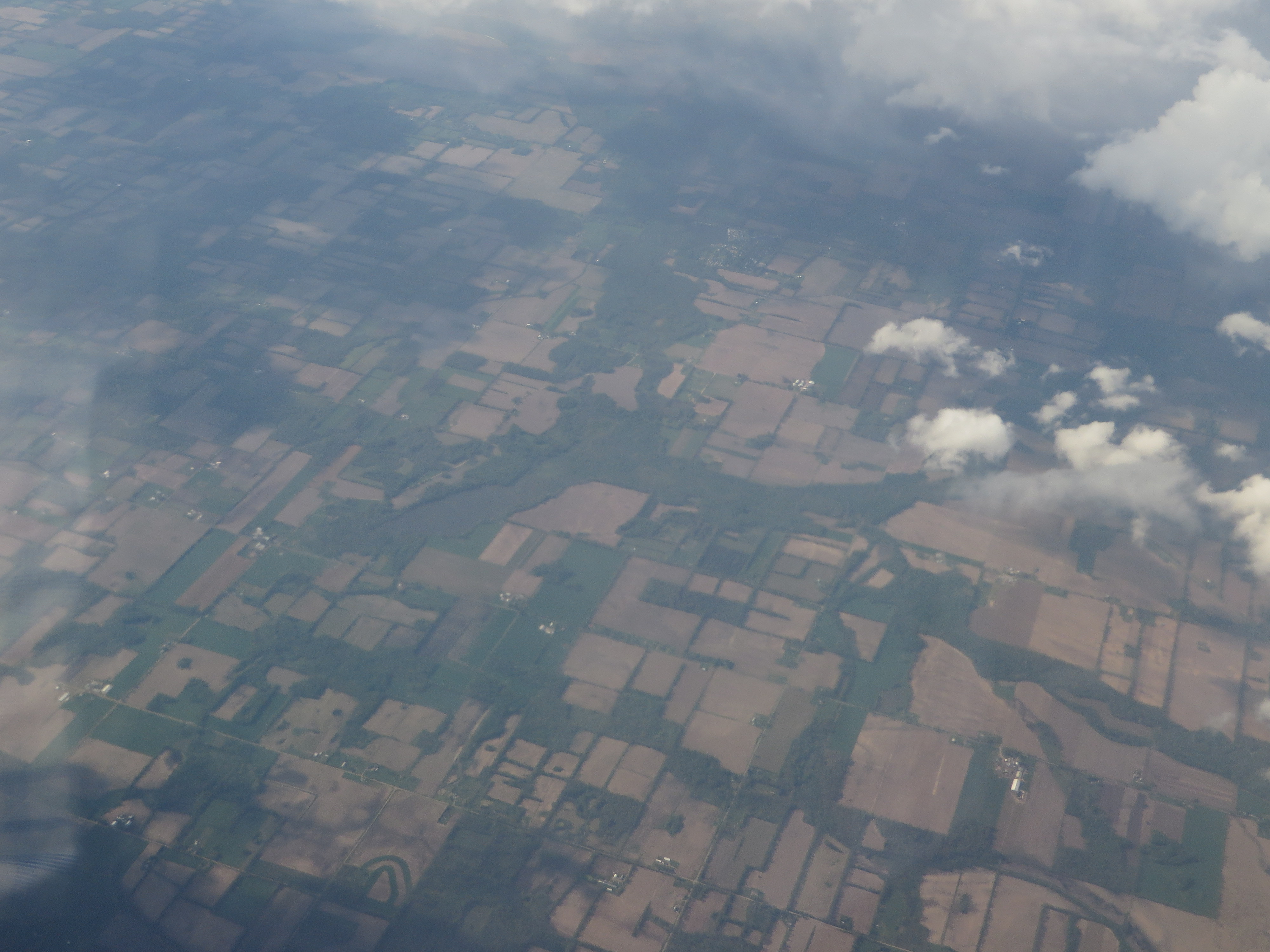
Satellite Map:
Related Photos:
082-2

CH405 Sunset
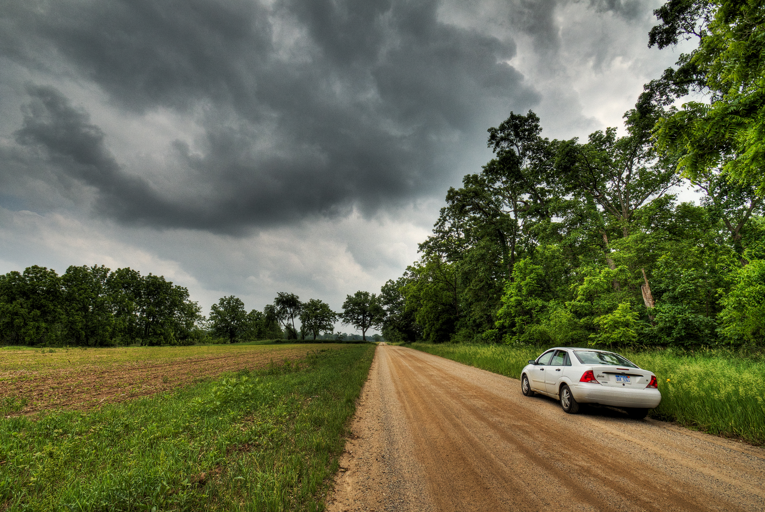
Riders on the Storm
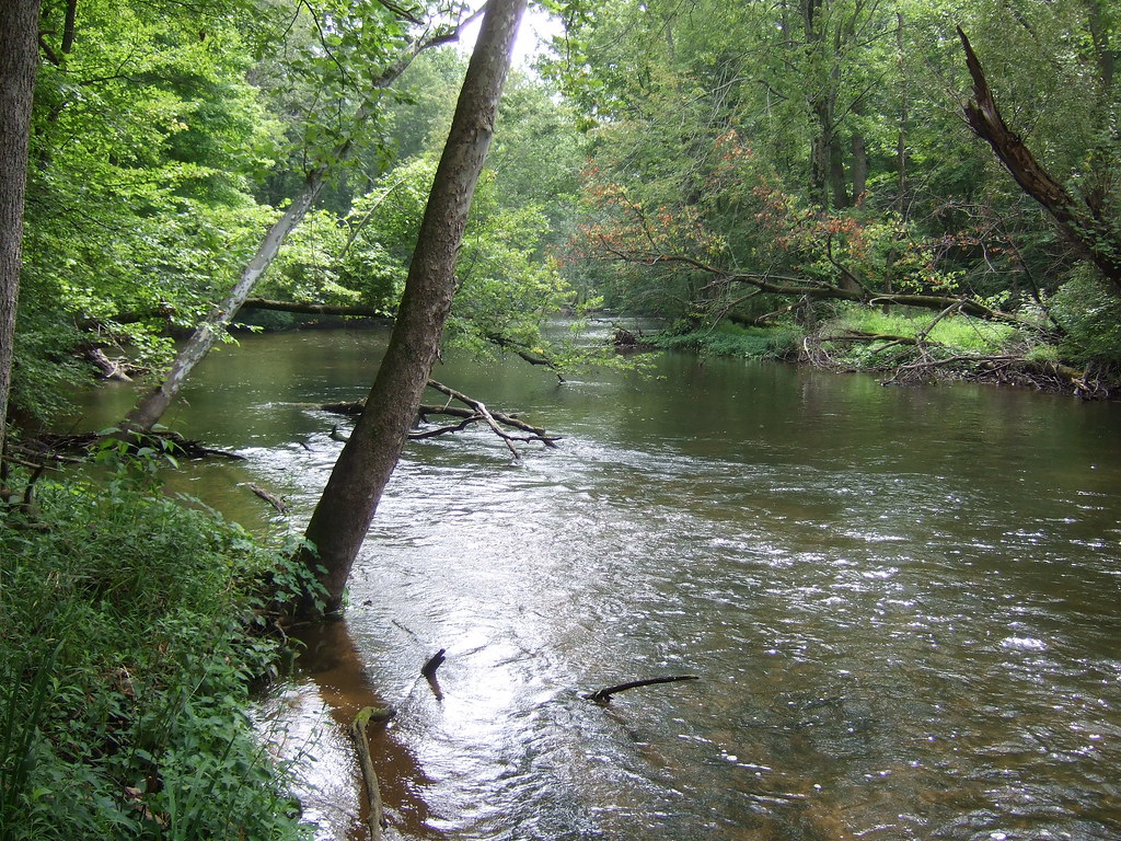
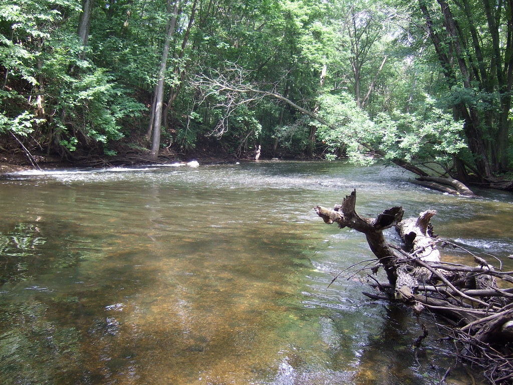
Fawn Darner habitat on the Coldwater River
Riverbend County Park

Hodunk Pond
Quaker Lake, Litchfield, Michigan
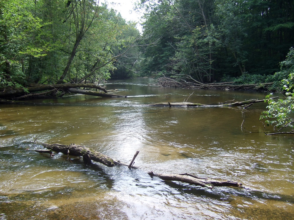
Coldwater River riffles

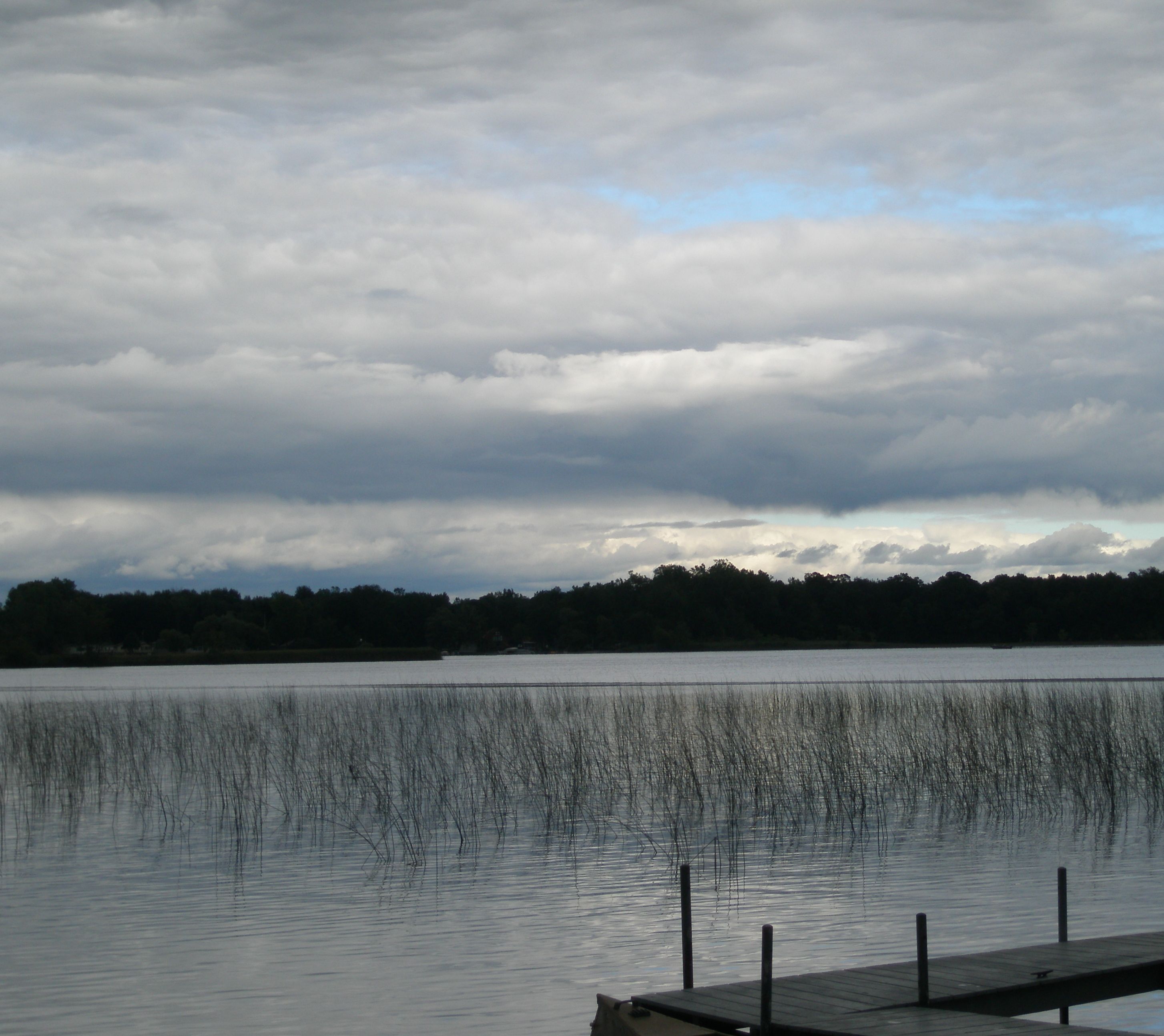
Lake marsh

Purple Loosestrife Beetle
Topographic Map of Tekonsha Township, MI, USA
Find elevation by address:

Places in Tekonsha Township, MI, USA:
Places near Tekonsha Township, MI, USA:
W Randall St, Tekonsha, MI, USA
Tekonsha
Fredonia Township
Girard Township
752 King Rd
Hodunk Rd, Coldwater, MI, USA
N Broadway St, Union City, MI, USA
Union City
Union
305 Francisco Rd
Butler Township
27 Parsons Ct
163 Marshall St
Coldwater
133 E Pearl St
1 E Chicago St, Quincy, MI, USA
Branch County
Condit Rd, Homer, MI, USA
Ovid Township
380 Collard Ln
Recent Searches:
- Elevation of Corso Fratelli Cairoli, 35, Macerata MC, Italy
- Elevation of Tallevast Rd, Sarasota, FL, USA
- Elevation of 4th St E, Sonoma, CA, USA
- Elevation of Black Hollow Rd, Pennsdale, PA, USA
- Elevation of Oakland Ave, Williamsport, PA, USA
- Elevation of Pedrógão Grande, Portugal
- Elevation of Klee Dr, Martinsburg, WV, USA
- Elevation of Via Roma, Pieranica CR, Italy
- Elevation of Tavkvetili Mountain, Georgia
- Elevation of Hartfords Bluff Cir, Mt Pleasant, SC, USA