Elevation of W Randall St, Tekonsha, MI, USA
Location: United States > Michigan > Calhoun County > Tekonsha Township > Tekonsha >
Longitude: -84.9875
Latitude: 42.095206
Elevation: 287m / 942feet
Barometric Pressure: 98KPa
Elevation Map:
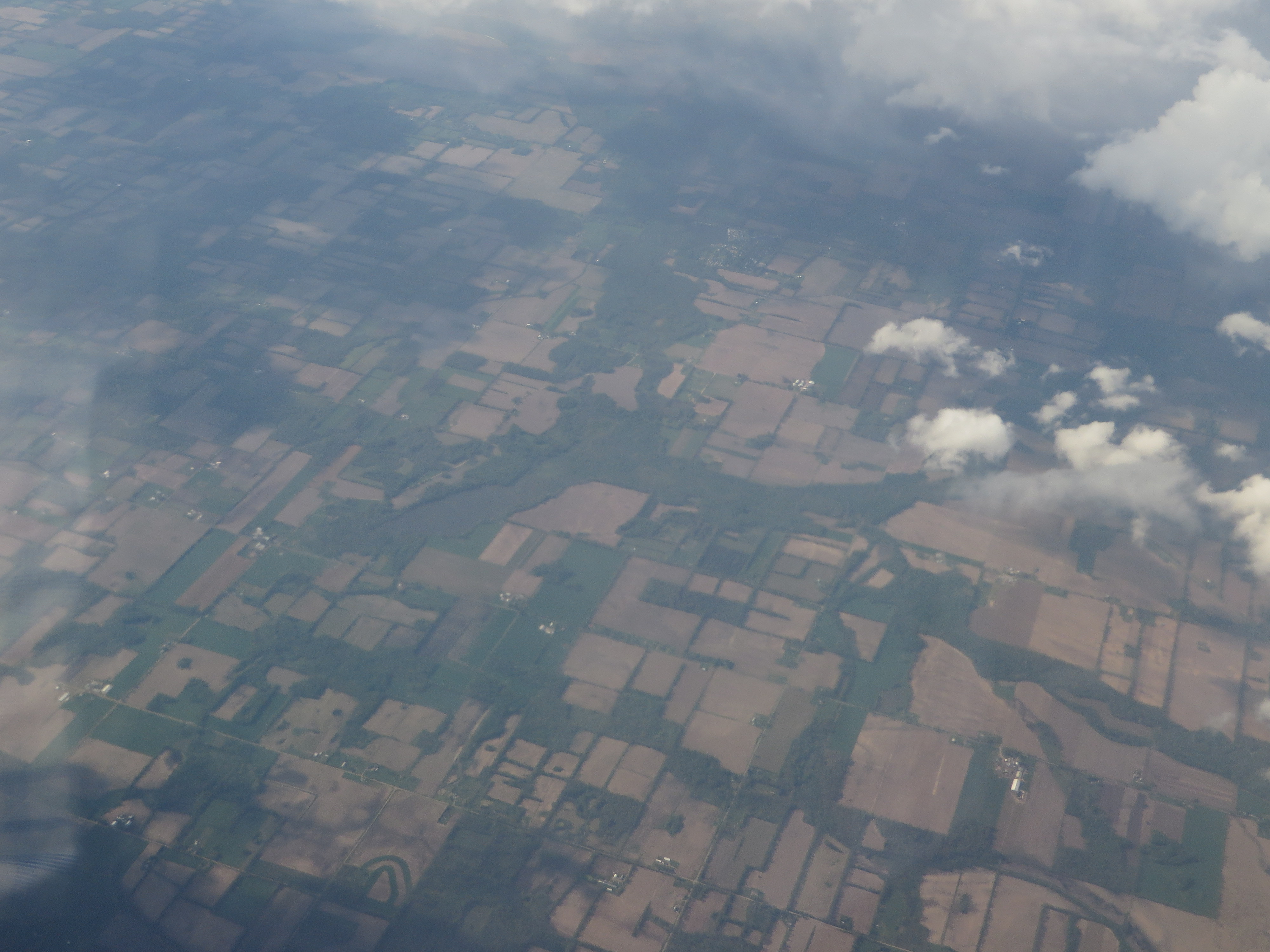
Satellite Map:
Related Photos:
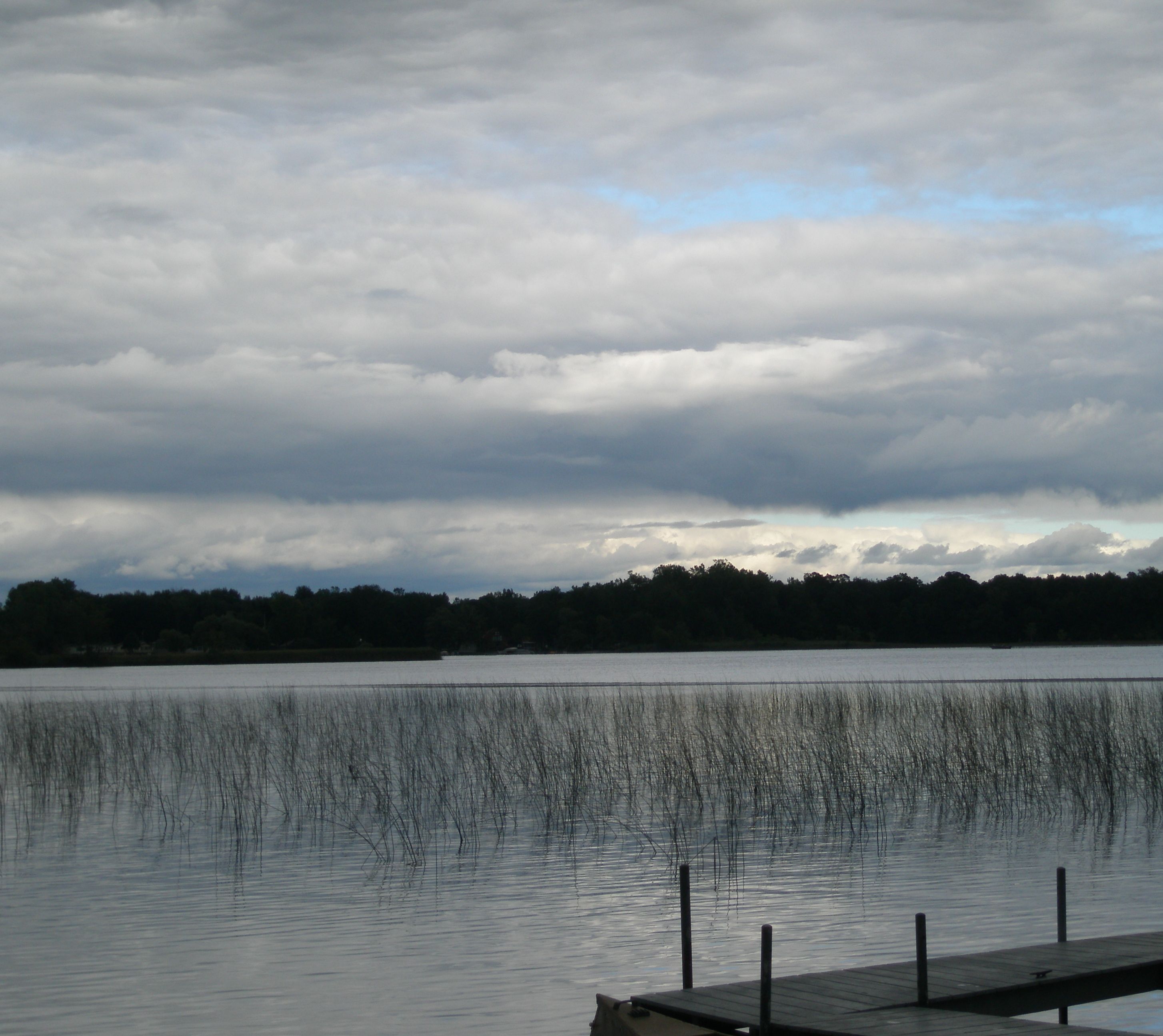
Quaker Lake, Litchfield, Michigan
082-2

CH405 Sunset
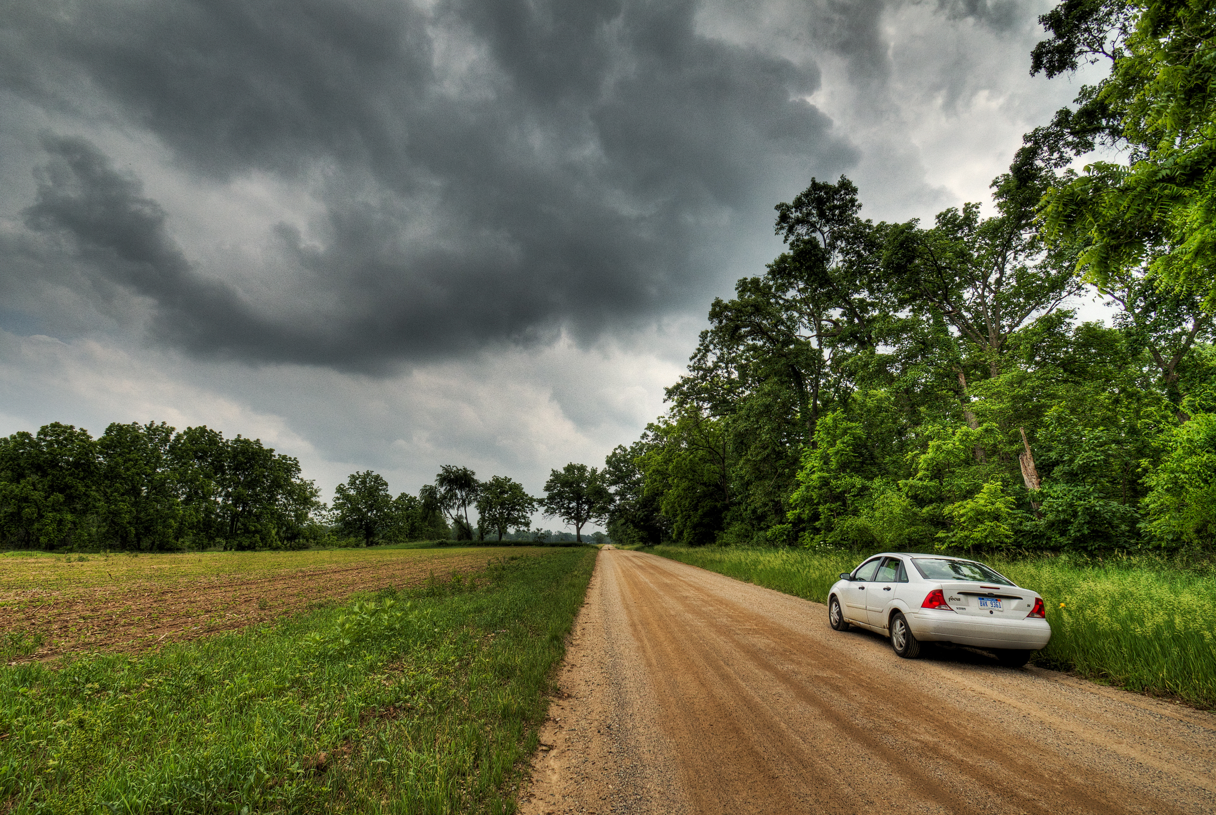
Riders on the Storm
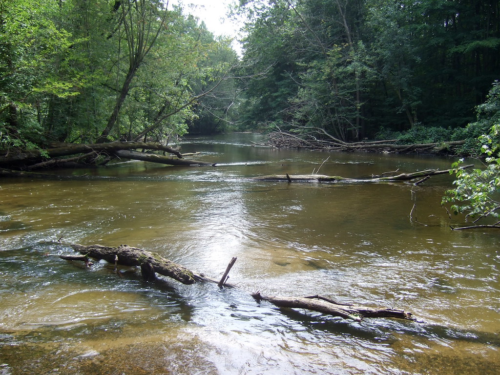
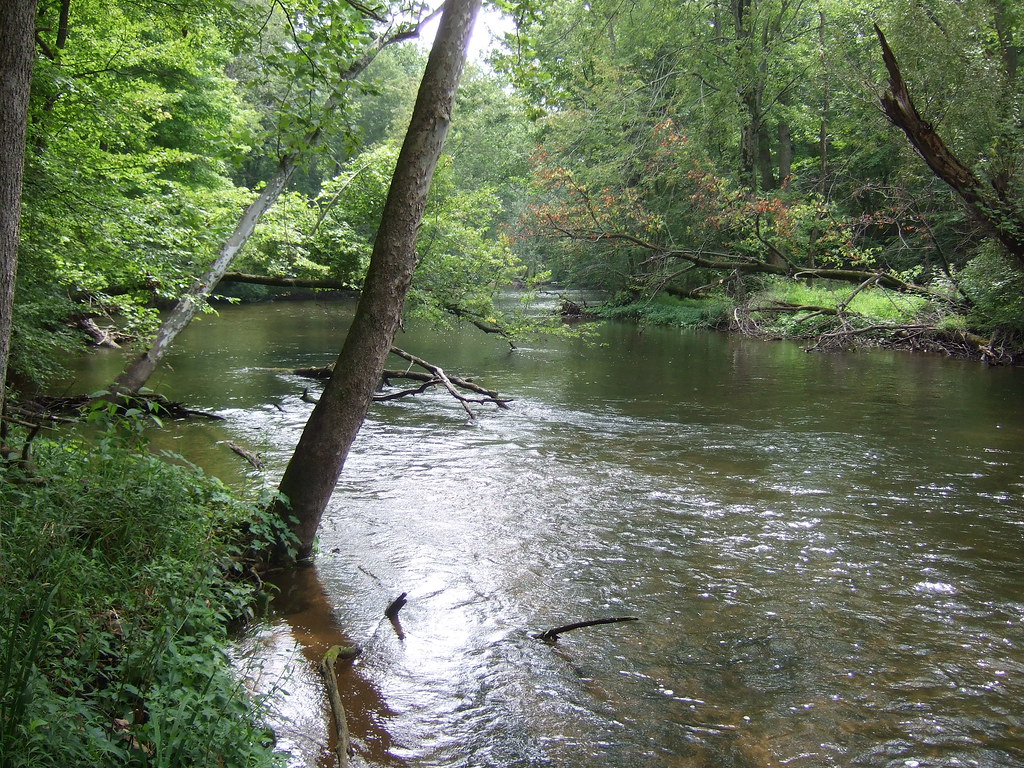
Fawn Darner habitat on the Coldwater River
Riverbend County Park

Hodunk Pond
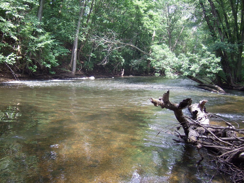
Coldwater River riffles

Lake marsh
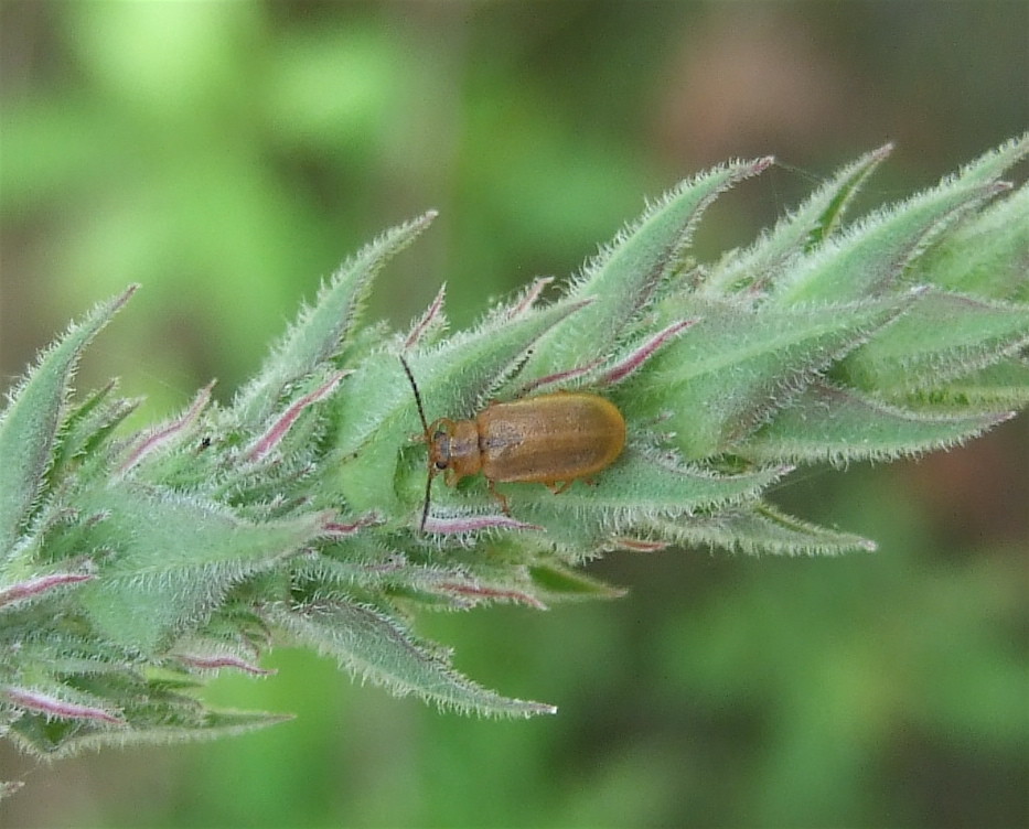
Purple Loosestrife Beetle
Topographic Map of W Randall St, Tekonsha, MI, USA
Find elevation by address:

Places near W Randall St, Tekonsha, MI, USA:
Tekonsha
Tekonsha Township
Girard Township
752 King Rd
Fredonia Township
Hodunk Rd, Coldwater, MI, USA
Butler Township
27 Parsons Ct
N Broadway St, Union City, MI, USA
163 Marshall St
305 Francisco Rd
Union City
Union
Coldwater
133 E Pearl St
1 E Chicago St, Quincy, MI, USA
Branch County
Condit Rd, Homer, MI, USA
Ovid Township
380 Collard Ln
Recent Searches:
- Elevation of Corso Fratelli Cairoli, 35, Macerata MC, Italy
- Elevation of Tallevast Rd, Sarasota, FL, USA
- Elevation of 4th St E, Sonoma, CA, USA
- Elevation of Black Hollow Rd, Pennsdale, PA, USA
- Elevation of Oakland Ave, Williamsport, PA, USA
- Elevation of Pedrógão Grande, Portugal
- Elevation of Klee Dr, Martinsburg, WV, USA
- Elevation of Via Roma, Pieranica CR, Italy
- Elevation of Tavkvetili Mountain, Georgia
- Elevation of Hartfords Bluff Cir, Mt Pleasant, SC, USA