Elevation of Teddys Peak, Colorado, USA
Location: United States > Colorado > La Veta >
Longitude: -105.16584
Latitude: 37.3408462
Elevation: 3798m / 12461feet
Barometric Pressure: 63KPa
Elevation Map:
Satellite Map:
Related Photos:

Western view at sunrise

Colorado Gold_02
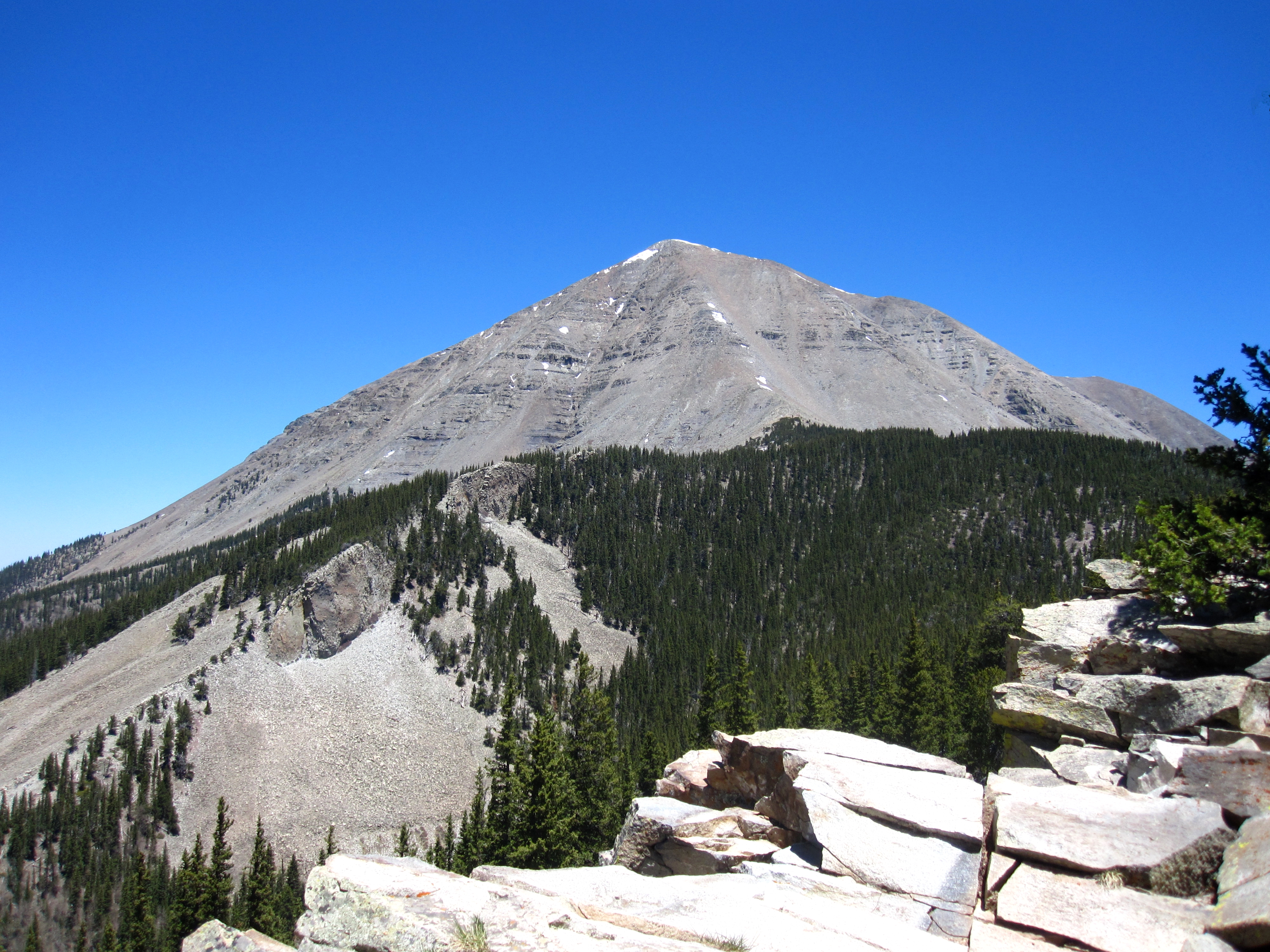
West Spanish Peak
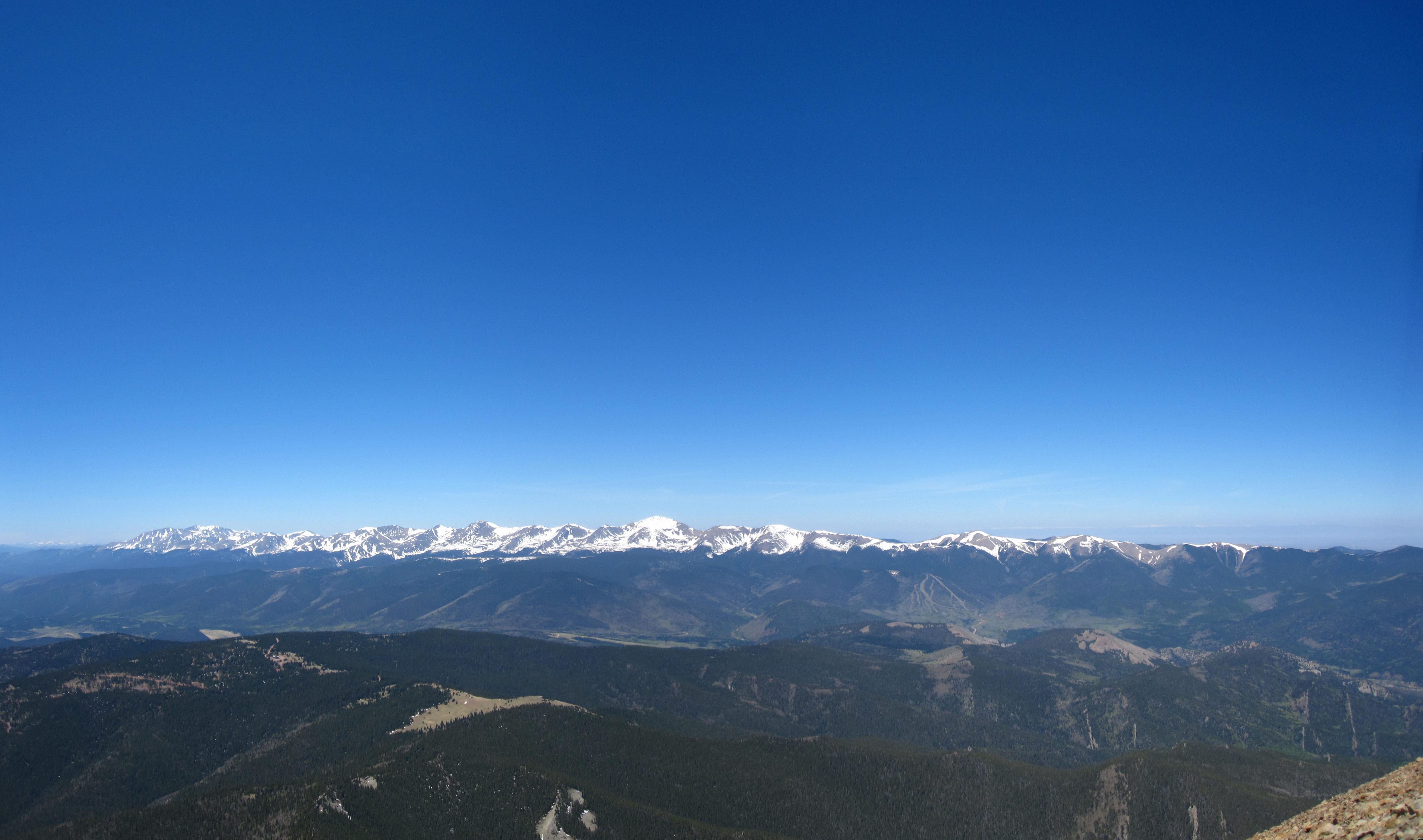
Sangre de Cristo Mountains
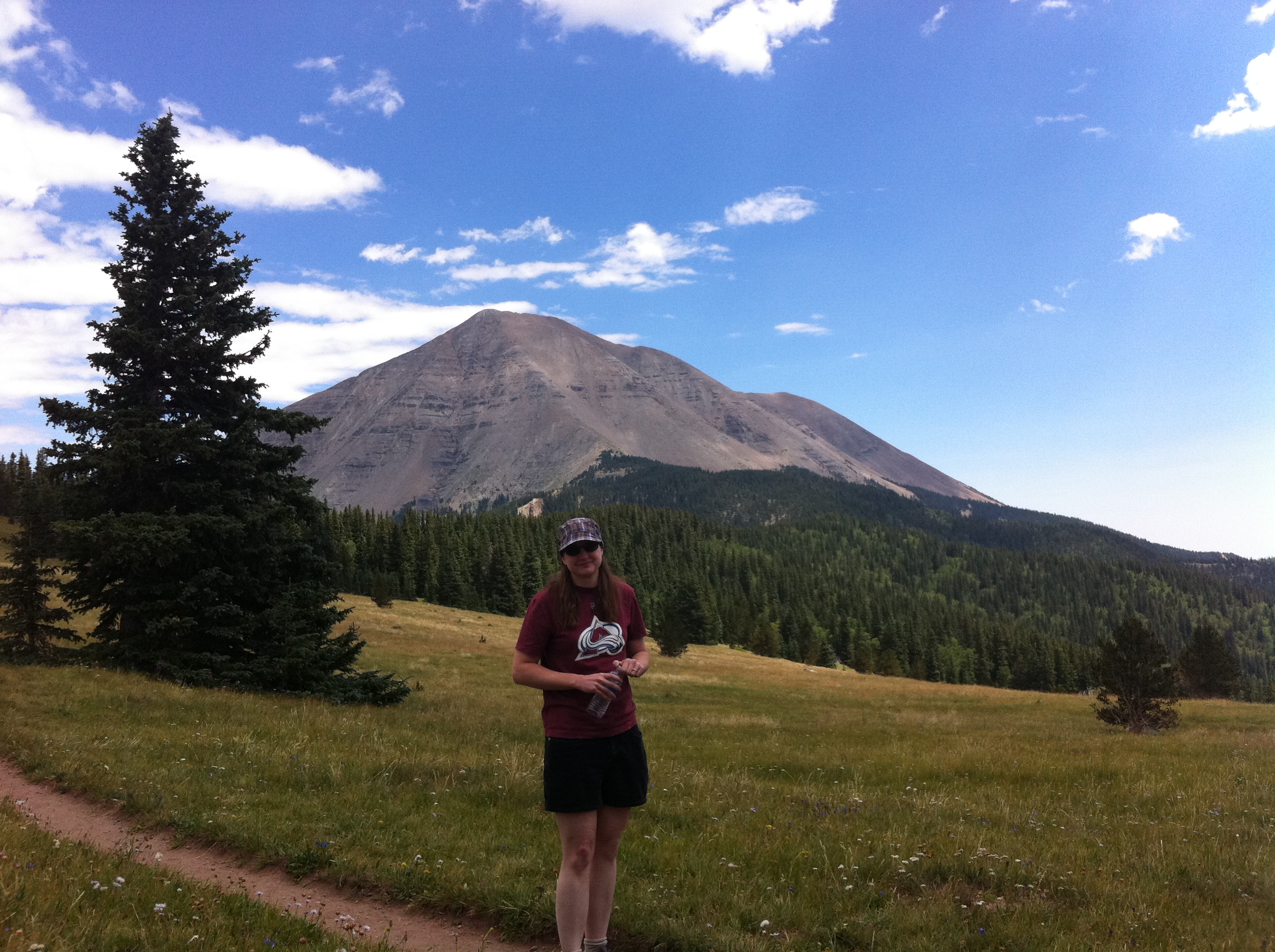
Nice View

Cliff Mist
Topographic Map of Teddys Peak, Colorado, USA
Find elevation by address:

Places near Teddys Peak, Colorado, USA:
Trinchera Peak
Harrison Peak
2724 Grojean Dr
Indian Creek Trail
Ojito Peak
5164 Slegers Rd
Evans Road
7436 Waligunda Rd
Warner Road
71685 Fernow
18591 Wilking Rd
7002 Valerie Rd N
Sangre De Cristo Ranches
7002 Valerie Rd N
Valerie Road North
7001 Valerie Rd
Joy Road
7191 Burnham Rd
Leonard Road
Pfotenhauer Road
Recent Searches:
- Elevation of Corso Fratelli Cairoli, 35, Macerata MC, Italy
- Elevation of Tallevast Rd, Sarasota, FL, USA
- Elevation of 4th St E, Sonoma, CA, USA
- Elevation of Black Hollow Rd, Pennsdale, PA, USA
- Elevation of Oakland Ave, Williamsport, PA, USA
- Elevation of Pedrógão Grande, Portugal
- Elevation of Klee Dr, Martinsburg, WV, USA
- Elevation of Via Roma, Pieranica CR, Italy
- Elevation of Tavkvetili Mountain, Georgia
- Elevation of Hartfords Bluff Cir, Mt Pleasant, SC, USA