Elevation of Trinchera Peak, Colorado, USA
Location: United States > Colorado > Fort Garland >
Longitude: -105.16500
Latitude: 37.2894584
Elevation: 4035m / 13238feet
Barometric Pressure: 61KPa
Elevation Map:
Satellite Map:
Related Photos:
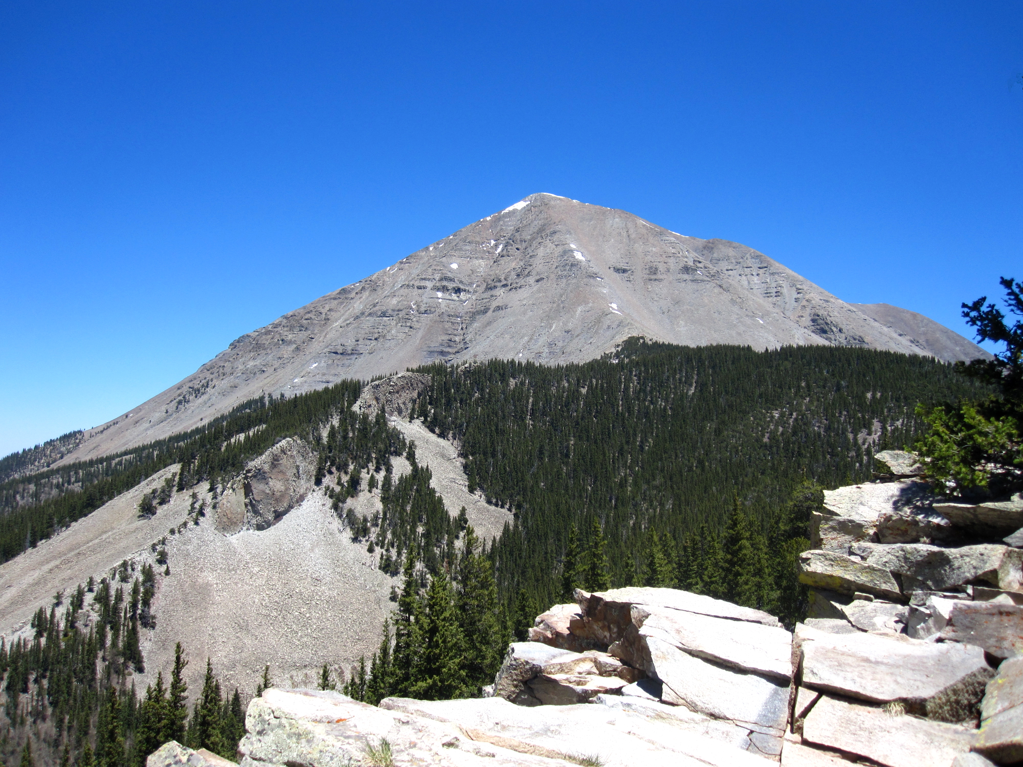
West Spanish Peak
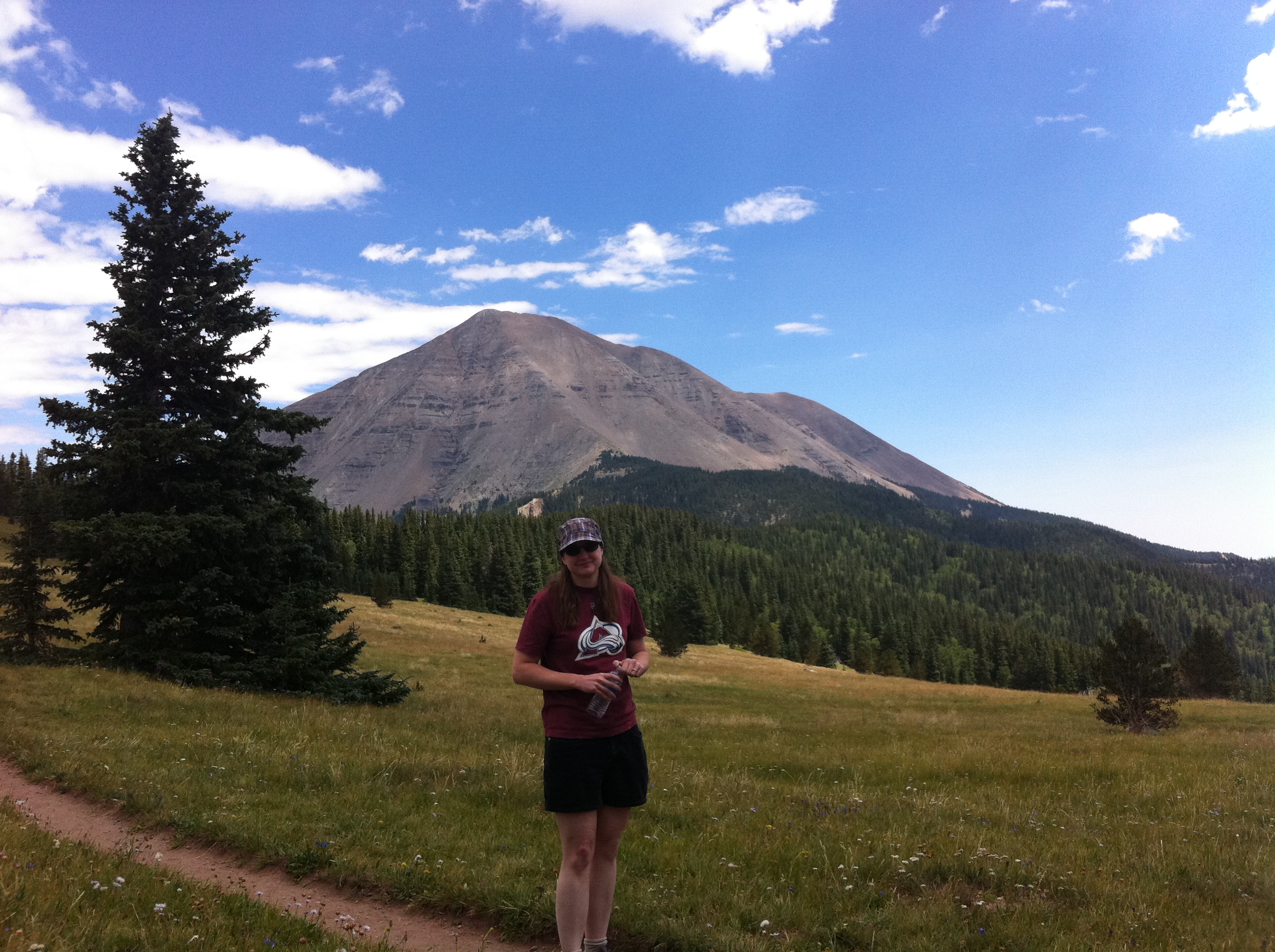
Nice View
Topographic Map of Trinchera Peak, Colorado, USA
Find elevation by address:

Places near Trinchera Peak, Colorado, USA:
Teddys Peak
Harrison Peak
Ojito Peak
5164 Slegers Rd
2724 Grojean Dr
Indian Creek Trail
Evans Road
Warner Road
Joy Road
18591 Wilking Rd
71685 Fernow
Pfotenhauer Road
7436 Waligunda Rd
Leonard Road
Sangre De Cristo Ranches
7002 Valerie Rd N
Valerie Road North
7002 Valerie Rd N
7001 Valerie Rd
1159 Pfotenhauer Rd
Recent Searches:
- Elevation of Corso Fratelli Cairoli, 35, Macerata MC, Italy
- Elevation of Tallevast Rd, Sarasota, FL, USA
- Elevation of 4th St E, Sonoma, CA, USA
- Elevation of Black Hollow Rd, Pennsdale, PA, USA
- Elevation of Oakland Ave, Williamsport, PA, USA
- Elevation of Pedrógão Grande, Portugal
- Elevation of Klee Dr, Martinsburg, WV, USA
- Elevation of Via Roma, Pieranica CR, Italy
- Elevation of Tavkvetili Mountain, Georgia
- Elevation of Hartfords Bluff Cir, Mt Pleasant, SC, USA