Elevation of Tanyard Hill Rd, Pine Grove, CA, USA
Location: United States > California > Amador County > Pine Grove >
Longitude: -120.69805
Latitude: 38.4216876
Elevation: 742m / 2434feet
Barometric Pressure: 93KPa
Elevation Map:
Satellite Map:
Related Photos:

Digital watercolor Old Kennedy Gold Mine Equipment

Old Kennedy Gold Mine Equipment HDR

Sierra Nevada Foothills HDR
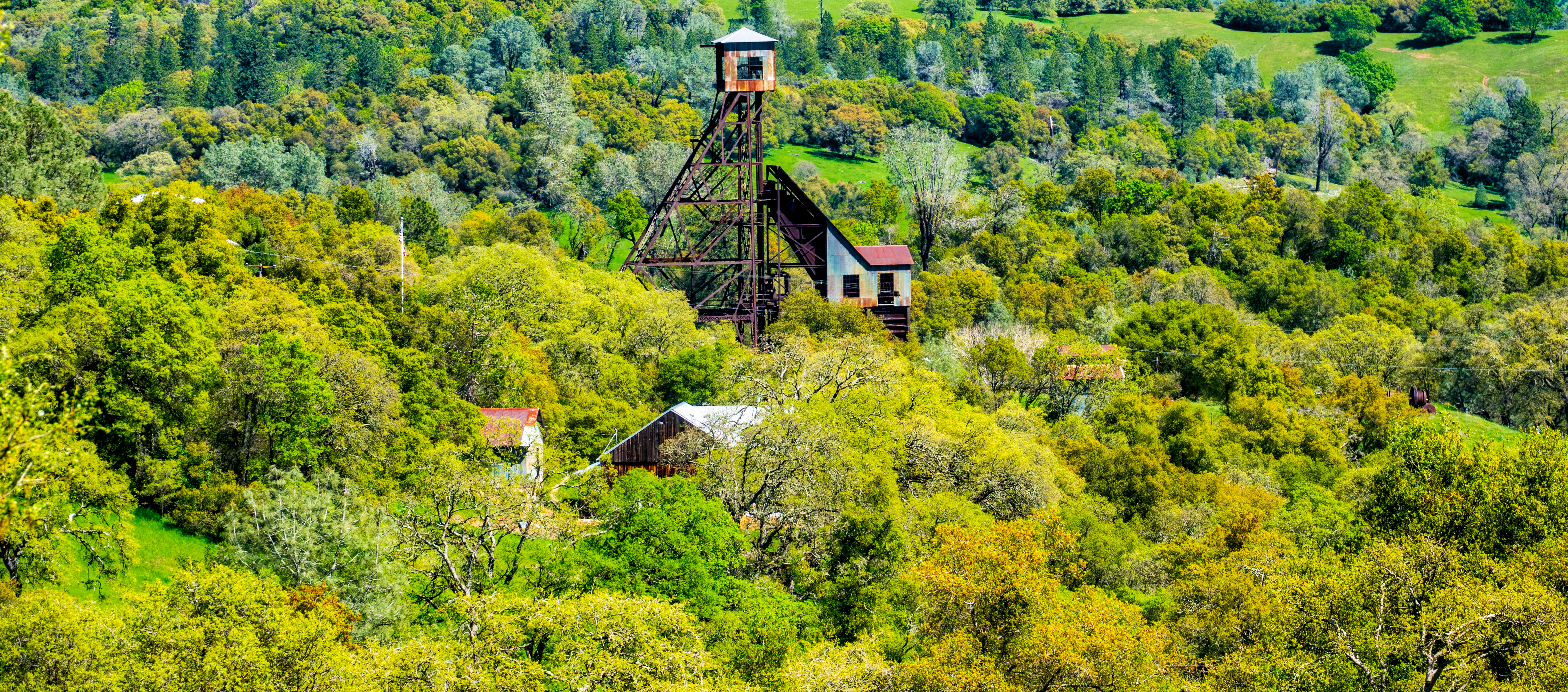
Old Kennedy Gold Mine Equipment HDR - Happy Sliders Sunday

The Harvest!

Historic Kennedy Gold Mine - Happy Sign Sunday
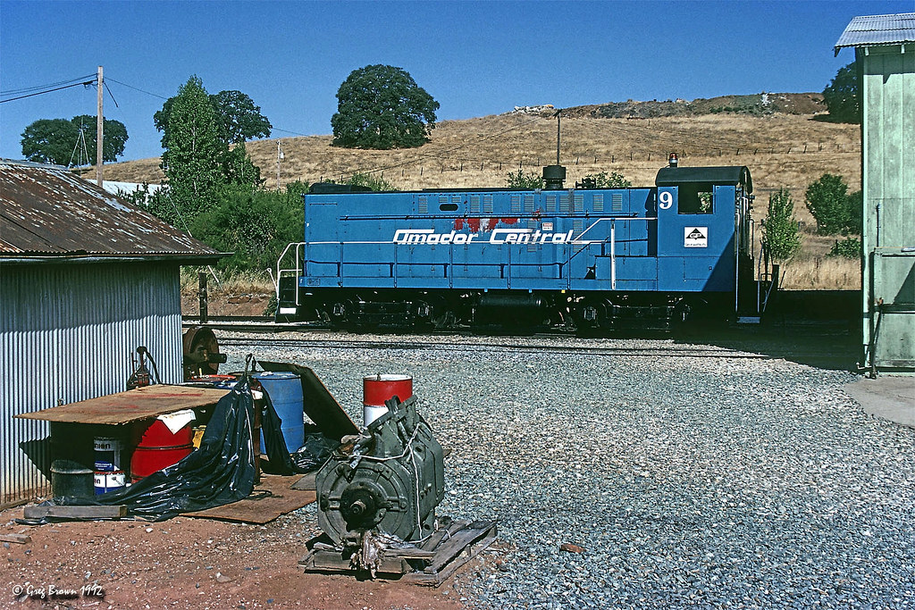
Amador Central - First Visit

Amador County K-9 Car 3-4 view

Miwok Ceremonial Roundhouse, 6 of 6

Indian Grinding Rock

Panorama from the Mokelumne Hill Airstrip

Jackson Butte from Mokelumne Hill
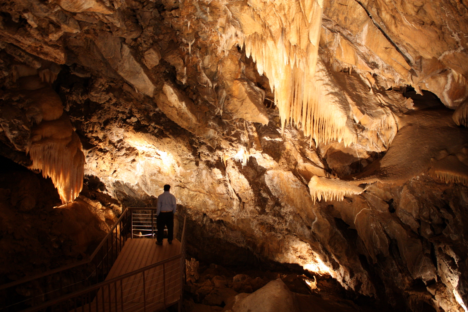
Black Chasm Cavern

Miwok Ceremonial Roundhouse, 4 of 6

Miwok Ceremonial Roundhouse, 5 of 6

Wide view of the America River bridge
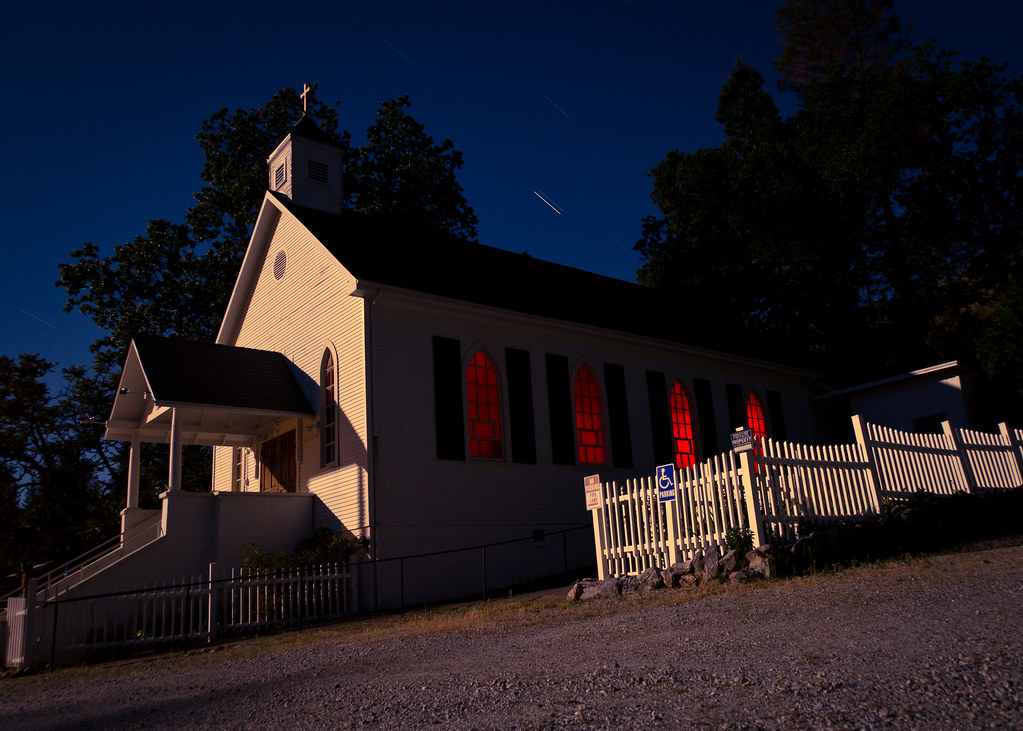
St. Bernard's Church

Miwok Ceremonial Roundhouse, 2 of 6
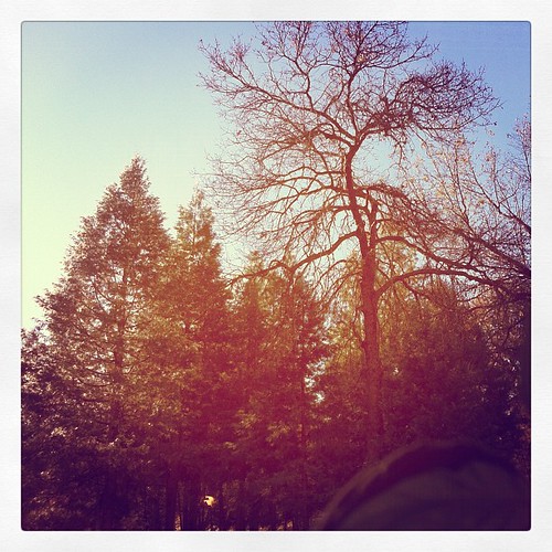
This is the view from my grandpa's front porch. I wouldn't mind waking up to this every morning. #photooftheday

Nice Mountain View 1
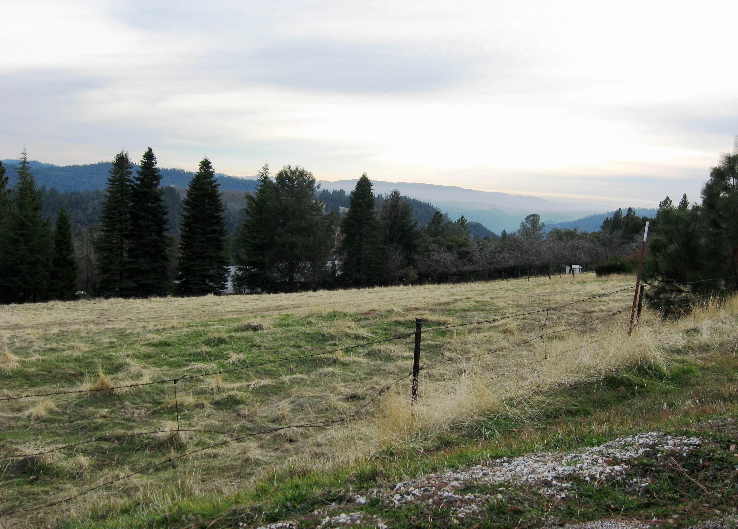
Nice View 3

Protected by the shadows

Outside Amador City

Black Chasm Cave Tour

Lone Tree Near Plymouth, California

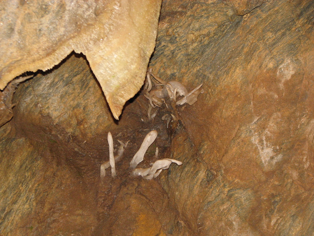
Stalactites in Black Chasm Cavern, Volcano, California

Drapery Stalactites
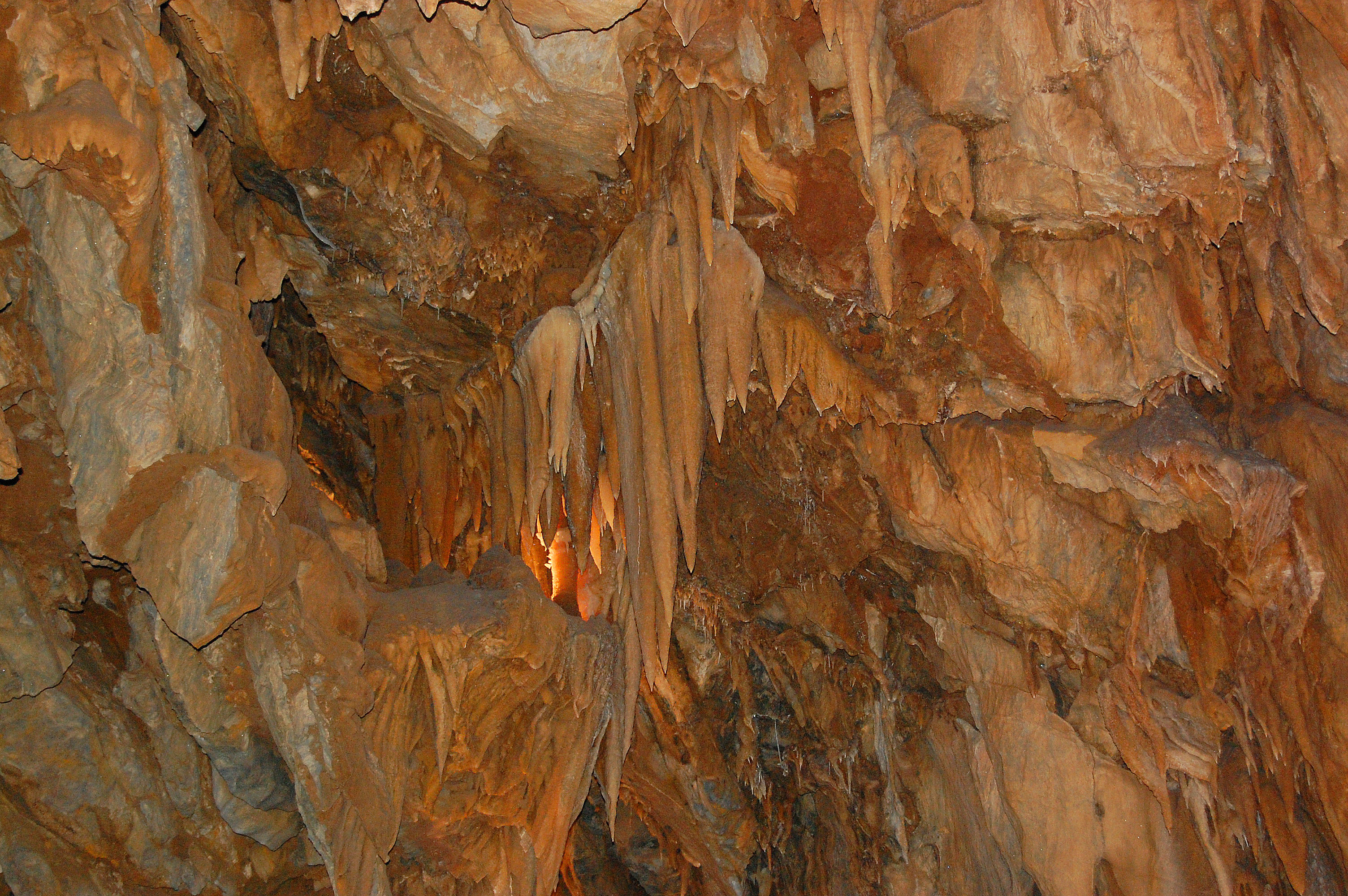
Black Chasm Cavern
Black Chasm Cavern, National Natural Landmark

Black Chasm Cavern

Big Oak

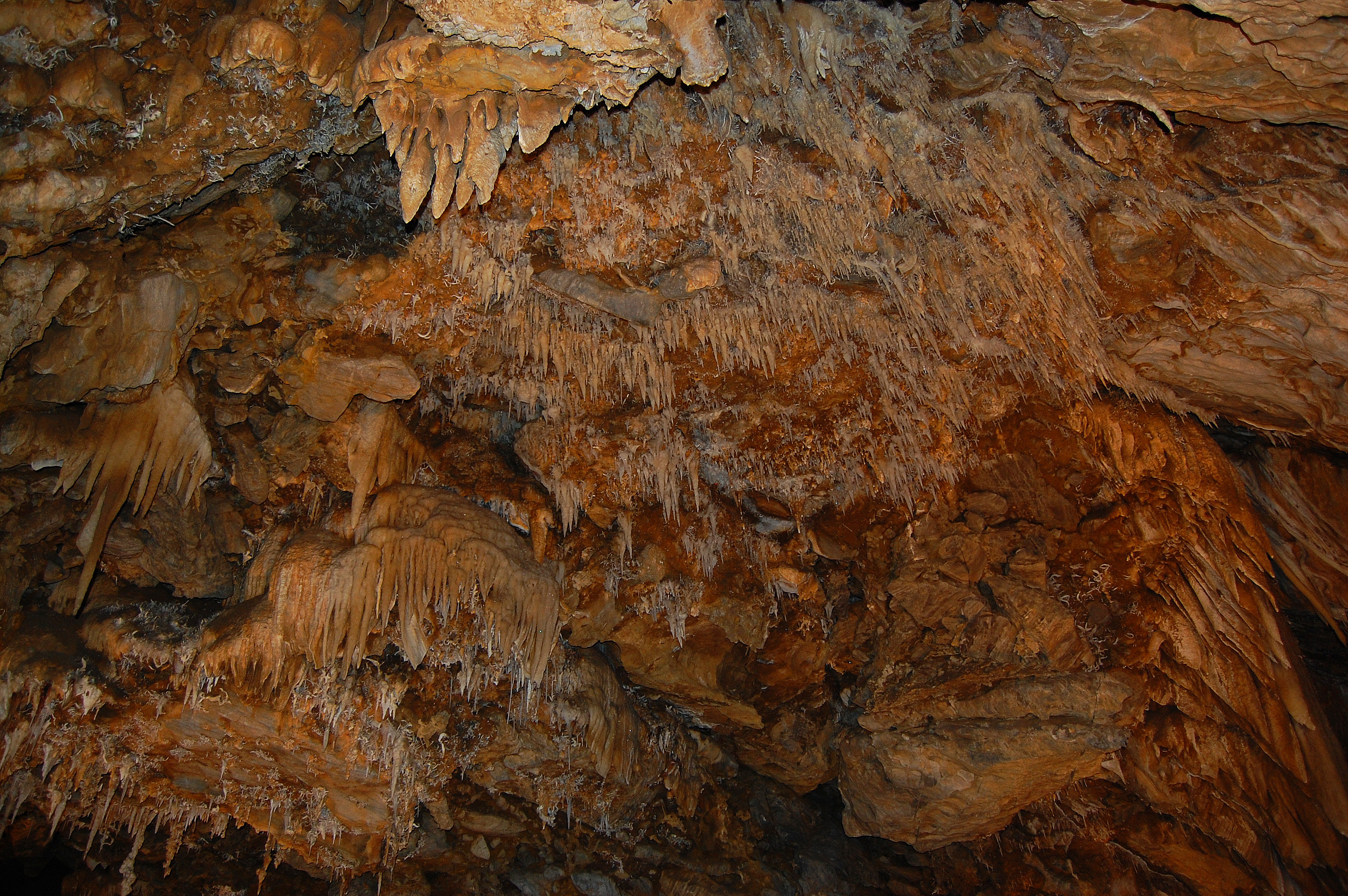
Stalactites & Helictites
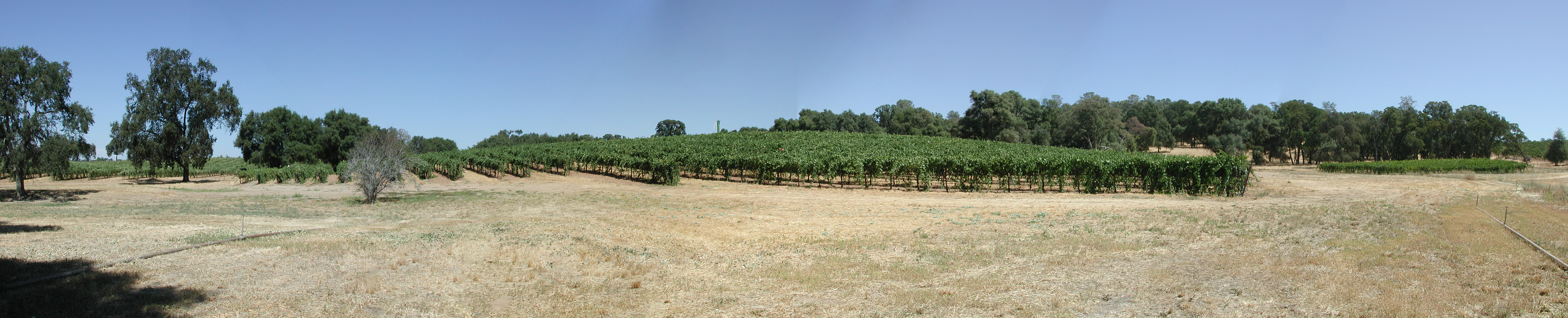
Montevina Winery Panorama

Black Chasm Caverns
Black Chasm Cavern - soda straw rock formations

Black Chasm Cavern

Black Chasm Caverns

Black Chasm Cavern - mysterious shapes
Topographic Map of Tanyard Hill Rd, Pine Grove, CA, USA
Find elevation by address:

Places near Tanyard Hill Rd, Pine Grove, CA, USA:
17555 Tanyard Hill Rd
17623 Tanyard Hill W
14525 Tanyard Hill Rd
Surrey Junction Lane
13795 Stell Ct
14121 Toma Ln
The Call Church
17450 Sutter Creek Volcano Rd
16607 Emily Way
17014 Ridge Rd
13891 Druid Ln
14950 Lupe Rd
Shake Ridge Road & Rancho Canyon Road
Ponderosa Way
16889 Rancho Canyon Rd
16881 Rancho Canyon Rd
18901 Sylvia Dr
Ridge Road & Lupe Road
10653 Tuggie Dr
18964 Leona Ln
Recent Searches:
- Elevation of Corso Fratelli Cairoli, 35, Macerata MC, Italy
- Elevation of Tallevast Rd, Sarasota, FL, USA
- Elevation of 4th St E, Sonoma, CA, USA
- Elevation of Black Hollow Rd, Pennsdale, PA, USA
- Elevation of Oakland Ave, Williamsport, PA, USA
- Elevation of Pedrógão Grande, Portugal
- Elevation of Klee Dr, Martinsburg, WV, USA
- Elevation of Via Roma, Pieranica CR, Italy
- Elevation of Tavkvetili Mountain, Georgia
- Elevation of Hartfords Bluff Cir, Mt Pleasant, SC, USA